 |
|
Location & QuickFacts
| FAA Information Effective: | 2008-09-25 |
| Airport Identifier: | HMY |
| Airport Status: | Operational |
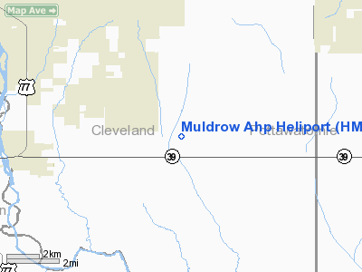
| Longitude/Latitude: | 097-13-53.9000W/35-01-35.0000N
-97.231639/35.026389 (Estimated) |
| Elevation: | 1087 ft / 331.32 m (Estimated) |
| Land: | 250 acres |
| From nearest city: | 4 nautical miles E of Lexington, OK |
| Location: | Cleveland County, OK |
| Magnetic Variation: | 06E (1995) |
Owner & Manager
| Ownership: | Army owned |
| Owner: | Oklahoma Army National Guard |
| Address: | Highway 39e & 144th Ave
Lexington, OK 73051 |
| Phone number: | 405-425-8260
405-527-5601. |
| Manager: | Maj Jackie L-self |
| Address: |
|
| Phone number: | 405-527-5601
405-527-5602. |
Airport Operations and Facilities
| Airport Use: | Private |
| Wind indicator: | Yes |
| Segmented Circle: | No |
| Control Tower: | No |
| Lighting Schedule: | PHONE REQ
FOR ROTG BCN & PERIMETER LGTS CALL 405-427-4260. |
| Beacon Color: | Clear-Green-Yellow (heliport) |
| Sectional chart: | Dallas-ft Worth |
| Region: | ASW - Southwest |
| Boundary ARTCC: | ZFW - Fort Worth |
| Tie-in FSS: | MLC - Mc Alester |
| FSS on Airport: | No |
| FSS Toll Free: | 1-800-WX-BRIEF |
Runway Information
Runway 17/35
| Dimension: | 2005 x 75 ft / 611.1 x 22.9 m |
| Surface: | ASPH, |
| Edge Lights: | Low |
| |
Runway 17 |
Runway 35 |
| Longitude: | 097-13-53.6990W | 097-13-54.0003W |
| Latitude: | 35-01-44.9415N | 35-01-25.1074N |
| Traffic Pattern: | Left | Left |
|
Helipad H1
| Dimension: | 100 x 100 ft / 30.5 x 30.5 m |
| Surface: | CONC, |
| |
Runway H1 |
Runway |
| Traffic Pattern: | Left | Left |
|
Helipad H2
| Dimension: | 100 x 100 ft / 30.5 x 30.5 m |
| Surface: | CONC, |
| |
Runway H2 |
Runway |
| Traffic Pattern: | Left | Left |
|
Radio Navigation Aids
| ID |
Type |
Name |
Ch |
Freq |
Var |
Dist |
| OUN | NDB | Norman | | 260.00 | 07E | 17.7 nm |
| PVJ | NDB | Pauls Valley | | 384.00 | 06E | 18.7 nm |
| SRE | NDB | Seminole | | 278.00 | 06E | 31.1 nm |
| OK | NDB | Tuloo | | 406.00 | 07E | 32.4 nm |
| OLR | NDB | Chickasha | | 290.00 | 07E | 36.7 nm |
| GGU | NDB | Prague | | 314.00 | 06E | 38.8 nm |
| HDL | NDB | Holdenville | | 411.00 | 06E | 40.4 nm |
| CQB | NDB | Tilghman | | 396.00 | 06E | 46.5 nm |
| RQO | NDB | El Reno | | 335.00 | 07E | 46.8 nm |
| TIK | TACAN | Tinker | 105X | | 07E | 25.7 nm |
| ADH | VOR/DME | Ada | 125X | 117.80 | 06E | 30.8 nm |
| PWA | VOR/DME | Wiley Post | 081X | 113.40 | 08E | 36.6 nm |
| IRW | VORTAC | Will Rogers | 088X | 114.10 | 07E | 27.3 nm |
| ADM | VORTAC | Ardmore | 114X | 116.70 | 06E | 49.1 nm |
| OKC | VOT | Oklahoma Will Rgs W | | 108.80 | | 28.5 nm |
Remarks
- CTN: COPTER PRK RAMP HAS PERIMETER FENCE.
- RSTD: PPR FOR ALL TRAN FUEL, PRK AND NGT OPR DSN 628-8101 C405-217-8101.
- SERVICE: FUEL - J4.
Images and information placed above are from
http://www.airport-data.com/airport/HMY/
We thank them for the data!
| General Info
|
| Country |
United States
|
| State |
OKLAHOMA
|
| FAA ID |
HMY
|
| Latitude |
35-01-00.265N
|
| Longitude |
097-14-01.093W
|
| Elevation |
1087 feet
|
| Near City |
LEXINGTON
|
We don't guarantee the information is fresh and accurate. The data may
be wrong or outdated.
For more up-to-date information please refer to other sources.
|
|


