 |
|
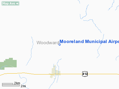
Location & QuickFacts
| FAA Information Effective: | 2008-09-25 |
| Airport Identifier: | MDF |
| Airport Status: | Operational |
| Longitude/Latitude: | 099-11-38.9680W/36-29-05.1280N
-99.194158/36.484758 (Estimated) |
| Elevation: | 1970 ft / 600.46 m (Surveyed) |
| Land: | 80 acres |
| From nearest city: | 3 nautical miles N of Mooreland, OK |
| Location: | Woodward County, OK |
| Magnetic Variation: | 08E (1985) |
Owner & Manager
| Ownership: | Publicly owned |
| Owner: | City Of Mooreland |
| Address: | City Hall, Po Box 157
Mooreland, OK 73852 |
| Phone number: | 580-994-5924 |
| Manager: | Darrell Boucher
CHAIRMAN, AIRPORT BOARD. |
| Address: | Rt 2 Box 101-2
Woodward, OK 73801 |
| Phone number: | 580-994-9305
OR 580-216-0014. |
Airport Operations and Facilities
| Airport Use: | Open to public |
| Wind indicator: | Yes |
| Segmented Circle: | No |
| Control Tower: | No |
| Lighting Schedule: | DUSK-DAWN
ACTVT LIRL RY 17/35 - CTAF. |
| Beacon Color: | Clear-Green (lighted land airport) |
| Landing fee charge: | No |
| Sectional chart: | Wichita |
| Region: | ASW - Southwest |
| Boundary ARTCC: | ZKC - Kansas City |
| Tie-in FSS: | MLC - Mc Alester |
| FSS on Airport: | No |
| FSS Toll Free: | 1-800-WX-BRIEF |
| NOTAMs Facility: | MLC (NOTAM-d service avaliable) |
| Federal Agreements: | N |
Airport Communications
| CTAF: | 122.800 |
| Unicom: | 122.800 |
Airport Services
| Fuel available: | 100LLMOGAS
PPR FOR FUEL CALL 580-994-5924. |
| Bottled Oxygen: | NONE |
| Bulk Oxygen: | NONE |
Runway Information
Runway 17/35
| Dimension: | 3500 x 60 ft / 1066.8 x 18.3 m |
| Surface: | ASPH, Good Condition |
| Weight Limit: | Single wheel: 4000 lbs. |
| Edge Lights: | Low |
| |
Runway 17 |
Runway 35 |
| Longitude: | 099-11-38.9680W | 099-11-39.0250W |
| Latitude: | 36-29-22.4270N | 36-28-47.8750N |
| Elevation: | 1970.00 ft | 1966.00 ft |
| Alignment: | 127 | 127 |
| Traffic Pattern: | Left | Left |
| Markings: | Non-precision instrument, Good Condition | Non-precision instrument, Good Condition |
|
Radio Navigation Aids
| ID |
Type |
Name |
Ch |
Freq |
Var |
Dist |
| MDF | NDB | Mooreland/dcmsnd | | 284.00 | 08E | 0.1 nm |
| OWU | NDB | West Woodward | | 329.00 | 08E | 16.2 nm |
| BFK | NDB | Buffalo | | 215.00 | 08E | 30.7 nm |
| AVK | NDB | Alva | | 203.00 | 08E | 30.8 nm |
| FAU | NDB | Fairview | | 246.00 | 07E | 36.7 nm |
| GAG | VORTAC | Gage | 103X | 115.60 | 10E | 34.2 nm |
Remarks
Images and information placed above are from
http://www.airport-data.com/airport/MDF/
We thank them for the data!
| General Info
|
| Country |
United States
|
| State |
OKLAHOMA
|
| FAA ID |
MDF
|
| Latitude |
36-29-05.128N
|
| Longitude |
099-11-38.968W
|
| Elevation |
1970 feet
|
| Near City |
MOORELAND
|
We don't guarantee the information is fresh and accurate. The data may
be wrong or outdated.
For more up-to-date information please refer to other sources.
|
|


