 |
|
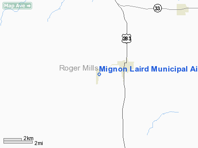
Mignon Laird Muni Airport |
Location & QuickFacts
| FAA Information Effective: | 2008-09-25 |
| Airport Identifier: | 93F |
| Airport Status: | Operational |
| Longitude/Latitude: | 099-42-09.9700W/35-36-15.9700N
-99.702769/35.604436 (Estimated) |
| Elevation: | 2084 ft / 635.20 m (Surveyed) |
| Land: | 100 acres |
| From nearest city: | 2 nautical miles W of Cheyenne, OK |
| Location: | Roger Mills County, OK |
| Magnetic Variation: | 08E (1985) |
Owner & Manager
| Ownership: | Publicly owned |
| Owner: | City Of Cheyenne |
| Address: | City Hall Box 10
Cheyenne, OK 73628 |
| Phone number: | 580-497-2455 |
| Manager: | Richard Adams
CITY MANAGER. |
| Address: | City Hall Box 10
Cheyenne, OK 73628 |
| Phone number: | 580-497-6415 |
Airport Operations and Facilities
| Airport Use: | Open to public |
| Wind indicator: | Yes |
| Segmented Circle: | Yes |
| Control Tower: | No |
| Lighting Schedule: | DUSK-DAWN |
| Beacon Color: | Clear-Green (lighted land airport)
ROTG BCN OTS INDEFLY. |
| Landing fee charge: | No |
| Sectional chart: | Dallas-ft Worth |
| Region: | ASW - Southwest |
| Boundary ARTCC: | ZFW - Fort Worth |
| Tie-in FSS: | MLC - Mc Alester |
| FSS on Airport: | No |
| FSS Toll Free: | 1-800-WX-BRIEF |
| NOTAMs Facility: | MLC (NOTAM-d service avaliable) |
| Federal Agreements: | NGY |
Airport Communications
Airport Services
| Bottled Oxygen: | NONE |
| Bulk Oxygen: | NONE |
Runway Information
Runway 18/36
| Dimension: | 4036 x 60 ft / 1230.2 x 18.3 m |
| Surface: | ASPH, Good Condition |
| Weight Limit: | Single wheel: 4000 lbs. |
| Edge Lights: | Low |
| |
Runway 18 |
Runway 36 |
| Longitude: | 099-42-07.3800W | 099-42-13.4400W |
| Latitude: | 35-36-31.2800N | 35-35-51.6700N |
| Alignment: | 127 | 7 |
| Traffic Pattern: | Left | Left |
| Markings: | Basic, Good Condition | Basic, Good Condition |
|
Radio Navigation Aids
| ID |
Type |
Name |
Ch |
Freq |
Var |
Dist |
| EZY | NDB | Elk City | | 241.00 | 08E | 18.4 nm |
| BZ | NDB | Fossi | | 393.00 | 08E | 26.2 nm |
| CLK | NDB | Clinton | | 320.00 | 07E | 37.7 nm |
| HHF | NDB | Hemphill County | | 400.00 | 08E | 38.4 nm |
| SYO | VORTAC | Sayre | 099X | 115.20 | 10E | 15.9 nm |
| BFV | VORTAC | Burns Flat | 037X | 110.00 | 08E | 32.9 nm |
| GAG | VORTAC | Gage | 103X | 115.60 | 10E | 45.3 nm |
Images and information placed above are from
http://www.airport-data.com/airport/93F/
We thank them for the data!
| General Info
|
| Country |
United States
|
| State |
OKLAHOMA
|
| FAA ID |
93F
|
| Latitude |
35-36-15.970N
|
| Longitude |
099-42-09.970W
|
| Elevation |
2084 feet
|
| Near City |
CHEYENNE
|
We don't guarantee the information is fresh and accurate. The data may
be wrong or outdated.
For more up-to-date information please refer to other sources.
|
|


