 |
|
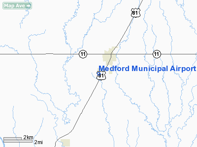
Location & QuickFacts
| FAA Information Effective: | 2008-09-25 |
| Airport Identifier: | O53 |
| Airport Status: | Operational |
| Longitude/Latitude: | 097-44-56.3900W/36-47-26.1030N
-97.748997/36.790584 (Estimated) |
| Elevation: | 1092 ft / 332.84 m (Surveyed) |
| Land: | 127 acres |
| From nearest city: | 1 nautical miles SW of Medford, OK |
| Location: | Grant County, OK |
| Magnetic Variation: | 05E (2005) |
Owner & Manager
| Ownership: | Publicly owned |
| Owner: | City Of Medford |
| Address: | City Hall Po Box 123
Medford, OK 73759 |
| Phone number: | 580-395-2823 |
| Manager: | Mike Newman |
| Address: | Po Box 355, 100 Airport Road
Medford, OK 73759 |
| Phone number: | 580-395-3176 |
Airport Operations and Facilities
| Airport Use: | Open to public |
| Wind indicator: | Yes |
| Segmented Circle: | Yes |
| Control Tower: | No |
| Lighting Schedule: | DUSK-DAWN
ACTVT MIRL RY 17/35 - CTAF. |
| Beacon Color: | Clear-Green (lighted land airport) |
| Landing fee charge: | No |
| Sectional chart: | Wichita |
| Region: | ASW - Southwest |
| Boundary ARTCC: | ZKC - Kansas City |
| Tie-in FSS: | MLC - Mc Alester |
| FSS on Airport: | No |
| FSS Toll Free: | 1-800-WX-BRIEF |
| NOTAMs Facility: | MLC (NOTAM-d service avaliable) |
| Federal Agreements: | NGY |
Airport Communications
Airport Services
Runway Information
Runway 17/35
| Dimension: | 3007 x 60 ft / 916.5 x 18.3 m |
| Surface: | ASPH, Good Condition |
| Weight Limit: | Single wheel: 13000 lbs. |
| Edge Lights: | Medium |
| |
Runway 17 |
Runway 35 |
| Longitude: | 097-44-56.3620W | 097-44-56.4540W |
| Latitude: | 36-47-40.9680N | 36-47-11.2390N |
| Elevation: | 1092.00 ft | 1085.00 ft |
| Alignment: | 127 | 127 |
| Traffic Pattern: | Left | Left |
| Markings: | Non-precision instrument, Good Condition | Non-precision instrument, Good Condition |
| Crossing Height: | 31.00 ft | 33.00 ft |
| VASI: | 2-light PAPI on left side | 2-light PAPI on left side |
| Visual Glide Angle: | 3.51° | 3.51° |
| Obstruction: | 8 ft road, 555.0 ft from runway, 44:1 slope to clear | 4 ft fence, 292.0 ft from runway, 23:1 slope to clear |
|
Radio Navigation Aids
| ID |
Type |
Name |
Ch |
Freq |
Var |
Dist |
| PN | NDB | Ponca | | 515.00 | 05E | 31.3 nm |
| EGT | NDB | Wellington | | 414.00 | 07E | 36.4 nm |
| AVK | NDB | Alva | | 203.00 | 08E | 44.4 nm |
| FAU | NDB | Fairview | | 246.00 | 07E | 46.5 nm |
| IC | NDB | Piche | | 332.00 | 07E | 49.4 nm |
| ODG | VOR/DME | Woodring | 027X | 109.00 | 08E | 25.1 nm |
| SWO | VOR/DME | Stillwater | 021X | 108.40 | 07E | 46.9 nm |
| END | VORTAC | Vance | 101X | 115.40 | 09E | 28.0 nm |
| PER | VORTAC | Pioneer | 079X | 113.20 | 06E | 28.5 nm |
| ANY | VORTAC | Anthony | 076X | 112.90 | 07E | 30.0 nm |
Remarks
- 100 FT REFINERY 3300 FT SW OF ARPT.
Images and information placed above are from
http://www.airport-data.com/airport/O53/
We thank them for the data!
| General Info
|
| Country |
United States
|
| State |
OKLAHOMA
|
| FAA ID |
O53
|
| Latitude |
36-47-26.103N
|
| Longitude |
097-44-56.390W
|
| Elevation |
1092 feet
|
| Near City |
MEDFORD
|
We don't guarantee the information is fresh and accurate. The data may
be wrong or outdated.
For more up-to-date information please refer to other sources.
|
|


