 |
|
Location & QuickFacts
| FAA Information Effective: | 2008-09-25 |
| Airport Identifier: | OK46 |
| Airport Status: | Operational |
| Longitude/Latitude: | 098-04-31.2280W/36-57-32.0930N
-98.075341/36.958915 (Estimated) |
| Elevation: | 1260 ft / 384.05 m (Estimated) |
| Land: | 37 acres |
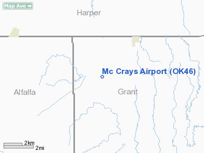
| From nearest city: | 3 nautical miles SW of Manchester, OK |
| Location: | Grant County, OK |
| Magnetic Variation: | 07E (1985) |
Owner & Manager
| Ownership: | Privately owned |
| Owner: | B.f. Mc Cray |
| Address: |
Manchester, OK 73758 |
| Phone number: | 405-694-2207 |
| Manager: | B. F. Mc Cray |
| Address: |
Manchester, OK 73758 |
| Phone number: | 405-694-2207 |
Airport Operations and Facilities
| Airport Use: | Private |
| Wind indicator: | Yes |
| Segmented Circle: | No |
| Control Tower: | No |
| Landing fee charge: | No |
| Sectional chart: | Wichita |
| Region: | ASW - Southwest |
| Boundary ARTCC: | ZKC - Kansas City |
| Tie-in FSS: | MLC - Mc Alester |
| FSS on Airport: | No |
| FSS Toll Free: | 1-800-WX-BRIEF |
Airport Services
| Airframe Repair: | NONE |
| Power Plant Repair: | NONE |
Runway Information
Runway 17/35
| Dimension: | 1500 x 100 ft / 457.2 x 30.5 m |
| Surface: | TURF, |
| |
Runway 17 |
Runway 35 |
| Traffic Pattern: | Left | Left |
|
Radio Navigation Aids
| ID |
Type |
Name |
Ch |
Freq |
Var |
Dist |
| AVK | NDB | Alva | | 203.00 | 08E | 30.6 nm |
| EGT | NDB | Wellington | | 414.00 | 07E | 39.5 nm |
| FAU | NDB | Fairview | | 246.00 | 07E | 44.9 nm |
| PN | NDB | Ponca | | 515.00 | 05E | 47.5 nm |
| IC | NDB | Piche | | 332.00 | 07E | 47.6 nm |
| ODG | VOR/DME | Woodring | 027X | 109.00 | 08E | 37.8 nm |
| ANY | VORTAC | Anthony | 076X | 112.90 | 07E | 12.9 nm |
| END | VORTAC | Vance | 101X | 115.40 | 09E | 37.6 nm |
| PER | VORTAC | Pioneer | 079X | 113.20 | 06E | 45.8 nm |
Remarks
- AIRFRAME AND POWER PLANT REPAIRS.
- EXISTED PRIOR TO 1959.
Images and information placed above are from
http://www.airport-data.com/airport/OK46/
We thank them for the data!
| General Info
|
| Country |
United States
|
| State |
OKLAHOMA
|
| FAA ID |
OK46
|
| Latitude |
36-57-32.093N
|
| Longitude |
098-04-31.228W
|
| Elevation |
1260 feet
|
| Near City |
MANCHESTER
|
We don't guarantee the information is fresh and accurate. The data may
be wrong or outdated.
For more up-to-date information please refer to other sources.
|
|


