 |
|
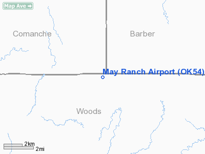
Location & QuickFacts
| FAA Information Effective: | 2008-09-25 |
| Airport Identifier: | OK54 |
| Airport Status: | Operational |
| Longitude/Latitude: | 099-00-17.3620W/36-59-48.1070N
-99.004823/36.996696 (Estimated) |
| Elevation: | 1833 ft / 558.70 m (Estimated) |
| Land: | 80 acres |
| From nearest city: | 20 nautical miles NW of Alva, OK |
| Location: | Woods County, OK |
| Magnetic Variation: | 08E (1985) |
Owner & Manager
| Ownership: | Privately owned |
| Owner: | Leon E. May |
| Address: | 25638 Payne Rd
Alva, OK 73717 |
| Phone number: | 405-621-3480 |
| Manager: | Leon E. May |
| Address: | 25638 Payne Rd
Alva, OK 73717 |
| Phone number: | 405-621-3480 |
Airport Operations and Facilities
| Airport Use: | Private |
| Wind indicator: | Yes |
| Segmented Circle: | No |
| Control Tower: | No |
| Landing fee charge: | No |
| Sectional chart: | Wichita |
| Region: | ASW - Southwest |
| Boundary ARTCC: | ZKC - Kansas City |
| Tie-in FSS: | MLC - Mc Alester |
| FSS on Airport: | No |
| FSS Toll Free: | 1-800-WX-BRIEF |
| NOTAMs Facility: | MLC |
Airport Services
| Airframe Repair: | NONE |
| Power Plant Repair: | NONE |
Runway Information
Runway 08/26
| Dimension: | 1500 x 75 ft / 457.2 x 22.9 m |
| Surface: | TURF, Good Condition |
| |
Runway 08 |
Runway 26 |
| Traffic Pattern: | Left | Left |
| Obstruction: | , 50:1 slope to clear | 10 ft road, 0.0 ft from runway |
|
Runway 17/35
| Dimension: | 2000 x 60 ft / 609.6 x 18.3 m |
| Surface: | TURF, Fair Condition |
| |
Runway 17 |
Runway 35 |
| Traffic Pattern: | Left | Left |
| Obstruction: | 15 ft road | 35 ft trees, 130.0 ft from runway, 3:1 slope to clear |
|
Radio Navigation Aids
| ID |
Type |
Name |
Ch |
Freq |
Var |
Dist |
| AVK | NDB | Alva | | 203.00 | 08E | 20.7 nm |
| BFK | NDB | Buffalo | | 215.00 | 08E | 30.6 nm |
| MDF | NDB | Mooreland/dcmsnd | | 284.00 | 08E | 32.0 nm |
| OWU | NDB | West Woodward | | 329.00 | 08E | 42.1 nm |
| PTT | NDB | Pratt | | 356.00 | 07E | 45.4 nm |
| FAU | NDB | Fairview | | 246.00 | 07E | 49.7 nm |
| ANY | VORTAC | Anthony | 076X | 112.90 | 07E | 41.2 nm |
Remarks
- EXISTED PRIOR TO OCT 1959.
Images and information placed above are from
http://www.airport-data.com/airport/OK54/
We thank them for the data!
| General Info
|
| Country |
United States
|
| State |
OKLAHOMA
|
| FAA ID |
OK54
|
| Latitude |
36-59-48.107N
|
| Longitude |
099-00-17.362W
|
| Elevation |
1833 feet
|
| Near City |
ALVA
|
We don't guarantee the information is fresh and accurate. The data may
be wrong or outdated.
For more up-to-date information please refer to other sources.
|
|


