|
|
Lawton-fort Sill Rgnl Airport |
| Lawton-Fort Sill Regional Airport |
| IATA: LAW – ICAO: KLAW |
| Summary |
| Airport type |
Public |
| Operator |
City of Lawton |
| Location |
Lawton, Oklahoma |
| Elevation AMSL |
1,110 ft / 338 m |
| Coordinates |
34°34′03″N 98°24′59″W / 34.5675°N 98.41639°W / 34.5675; -98.41639Coordinates: 34°34′03″N 98°24′59″W / 34.5675°N 98.41639°W / 34.5675; -98.41639 |
| Runways |
| Direction |
Length |
Surface |
| ft |
m |
| 17/35 |
8,599 |
2,621 |
Concrete |
Lawton-Fort Sill Regional Airport (IATA: LAW, ICAO: KLAW) is a public airport located 2 mi (3.2 km) south of Lawton, in Comanche County, Oklahoma, USA. It is mostly only used for military aviation from nearby Fort Sill and Sheppard Air Force Base, but is also served by a commercial airline.
Airlines and destinations
| Airlines |
Destinations |
| American Eagle operated by Executive Airlines |
Dallas/Fort Worth |
The above content comes from Wikipedia and is published under free licenses – click here to read more.
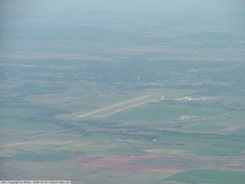 |
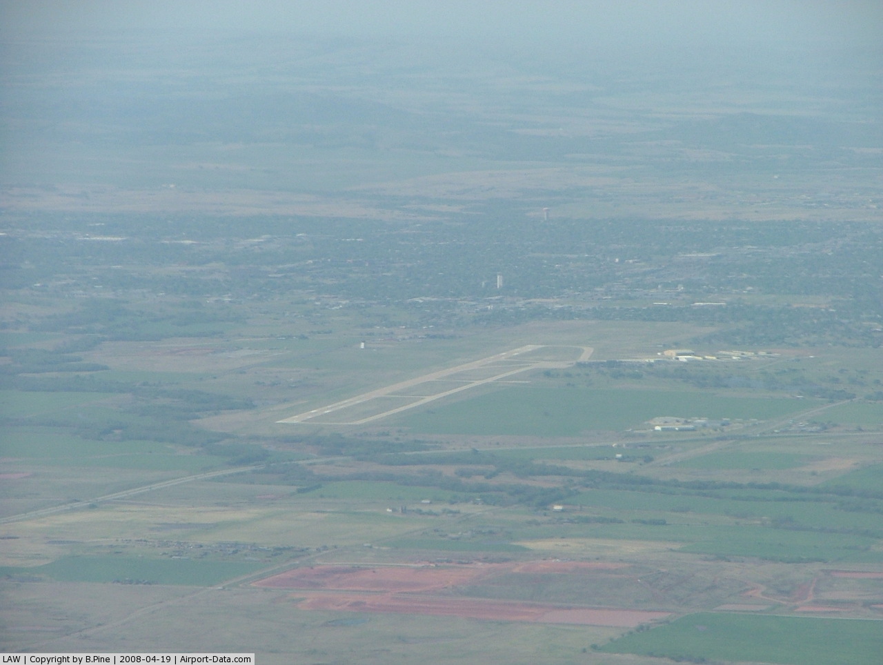
(Click on the photo to enlarge) |
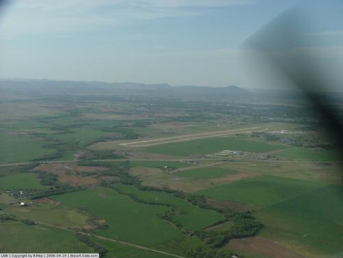 |
(Click on the photo to enlarge) |
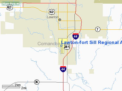
Location & QuickFacts
| FAA Information Effective: | 2008-09-25 |
| Airport Identifier: | LAW |
| Airport Status: | Operational |
| Longitude/Latitude: | 098-24-59.8920W/34-34-03.7720N
-98.416637/34.567714 (Estimated) |
| Elevation: | 1110 ft / 338.33 m (Surveyed) |
| Land: | 1300 acres |
| From nearest city: | 2 nautical miles S of Lawton, OK |
| Location: | Comanche County, OK |
| Magnetic Variation: | 06E (2000) |
Owner & Manager
| Ownership: | Publicly owned |
| Owner: | City Of Lawton |
| Address: | Box 531
Lawton, OK 73502 |
| Phone number: | 580-581-3301 |
| Manager: | Barbara Mcnally |
| Address: | 3401 S 11th St
Lawton, OK 73501 |
| Phone number: | 580-353-4869 |
Airport Operations and Facilities
| Airport Use: | Open to public |
| Wind indicator: | Yes |
| Segmented Circle: | Yes |
| Control Tower: | Yes |
| Lighting Schedule: | DUSK-DAWN
WHEN ATCT CLSD HIRL RY 17/35 PRESET MED INTST; TO INCR INTST & ACTVT MALSR RY 35 - CTAF. |
| Beacon Color: | Clear-Green (lighted land airport) |
| Landing fee charge: | No |
| Sectional chart: | Dallas-ft Worth |
| Region: | ASW - Southwest |
| Boundary ARTCC: | ZFW - Fort Worth |
| Tie-in FSS: | MLC - Mc Alester |
| FSS on Airport: | No |
| FSS Toll Free: | 1-800-WX-BRIEF |
| NOTAMs Facility: | LAW (NOTAM-d service avaliable) |
| Certification type/date: | I A S 05/1973
PPR FOR UNSKED PART 121 ACR OPNS WITH OVER 30 PSGR SEATS, CTC AMGR 580-353-4869. |
| Federal Agreements: | NGY |
Airport Communications
| CTAF: | 119.900 |
| Unicom: | 122.950 |
Airport Services
| Fuel available: | 100LLA1+ |
| Airframe Repair: | MAJOR |
| Power Plant Repair: | MAJOR |
| Bottled Oxygen: | NONE |
| Bulk Oxygen: | HIGH/LOW |
Runway Information
Runway 17/35
| Dimension: | 8599 x 150 ft / 2621.0 x 45.7 m |
| Surface: | CONC, Good Condition |
| Surface Treatment: | Wire Comb or Wire Tine |
| Weight Limit: | Single wheel: 45000 lbs.
Dual wheel: 179000 lbs.
Dual tandem wheel: 344000 lbs. |
| Edge Lights: | High |
| |
Runway 17 |
Runway 35 |
| Longitude: | 098-25-01.7490W | 098-24-56.2250W |
| Latitude: | 34-34-42.7880N | 34-33-17.8580N |
| Elevation: | 1110.00 ft | 1070.00 ft |
| Alignment: | 127 | 127 |
| ILS Type: | | ILS
|
| Traffic Pattern: | Left | Left |
| Markings: | Precision instrument, Fair Condition | Precision instrument, Fair Condition |
| Crossing Height: | 46.00 ft | 0.00 ft |
| VASI: | 4-box on left side | |
| Visual Glide Angle: | 3.00° | 0.00° |
| Approach lights: | | MALSR |
| Runway End Identifier: | Yes | |
| Obstruction: | 72 ft pole, 3100.0 ft from runway, 170 ft right of centerline, 40:1 slope to clear | , 50:1 slope to clear |
| Decleard distances: | Take off run available 8599.00 ft
Take off distance available 8599.00 ft
Actual stop distance available 8599.00 ft
Landing distance available 8599.00 ft
| Take off run available 8599.00 ft
Take off distance available 8599.00 ft
Actual stop distance available 8599.00 ft
Landing distance available 8599.00 ft
|
|
Radio Navigation Aids
| ID |
Type |
Name |
Ch |
Freq |
Var |
Dist |
| FSI | FAN MARKER | Trail | | | 09E | 12.9 nm |
| PFL | NDB | Post | | 308.00 | 08E | 2.6 nm |
| OFZ | NDB | Trail | | 388.00 | 09E | 12.9 nm |
| OLR | NDB | Chickasha | | 290.00 | 07E | 39.0 nm |
| SKB | NDB | Scotland | | 344.00 | 08E | 46.9 nm |
| VRT | NDB | Wilbarger | | 230.00 | 08E | 47.5 nm |
| SHP | TACAN | Sheppard | 045X | | 10E | 35.3 nm |
| LAW | VOR/DME | Lawton | 031X | 109.40 | 09E | 4.3 nm |
| DUC | VOR/DME | Duncan | 047X | 111.00 | 09E | 27.1 nm |
| SPS | VORTAC | Wichita Falls | 074X | 112.70 | 10E | 36.0 nm |
| HBR | VORTAC | Hobart | 055X | 111.80 | 10E | 36.7 nm |
| LTS | VORTAC | Altus | 035X | 109.80 | 08E | 42.6 nm |
Remarks
- WHEN ATCT CLSD ARFF AVBL THROUGH FORT SILL APCH.
- BIRDS ON & INVOF ARPT.
- PRE DATES THE ACT.
Images and information placed above are from
http://www.airport-data.com/airport/LAW/
We thank them for the data!
| General Info
|
| Country |
United States
|
| State |
OKLAHOMA
|
| FAA ID |
LAW
|
| Latitude |
34-34-03.772N
|
| Longitude |
098-24-59.892W
|
| Elevation |
1110 feet
|
| Near City |
LAWTON
|
We don't guarantee the information is fresh and accurate. The data may
be wrong or outdated.
For more up-to-date information please refer to other sources.
|
|