 |
|
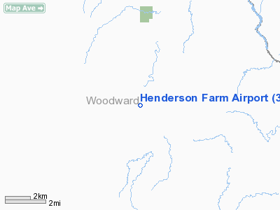
Location & QuickFacts
| FAA Information Effective: | 2008-09-25 |
| Airport Identifier: | 35OL |
| Airport Status: | Operational |
| Longitude/Latitude: | 099-09-04.3650W/36-37-59.1200N
-99.151212/36.633089 (Estimated) |
| Elevation: | 1750 ft / 533.40 m (Estimated) |
| Land: | 320 acres |
| From nearest city: | 13 nautical miles NE of Mooreland, OK |
| Location: | Woodward County, OK |
| Magnetic Variation: | 08E (1985) |
Owner & Manager
| Ownership: | Privately owned |
| Owner: | Duane Henderson |
| Address: | Rr 1/box 171
Mooreland, OK 73852 |
| Phone number: | 405-994-2223 |
| Manager: | Duane Henderson |
| Address: | Rr 1/box 171
Mooreland, OK 73852 |
| Phone number: | 405-994-2223 |
Airport Operations and Facilities
| Airport Use: | Private |
| Wind indicator: | Yes |
| Segmented Circle: | No |
| Control Tower: | No |
| Landing fee charge: | No |
| Sectional chart: | Wichita |
| Region: | ASW - Southwest |
| Boundary ARTCC: | ZKC - Kansas City |
| Tie-in FSS: | MLC - Mc Alester |
| FSS on Airport: | No |
| FSS Toll Free: | 1-800-WX-BRIEF |
Airport Services
| Fuel available: | MOGAS |
| Airframe Repair: | NONE |
| Power Plant Repair: | NONE |
| Bottled Oxygen: | NONE |
| Bulk Oxygen: | NONE |
Runway Information
Runway 17/35
| Dimension: | 2500 x 50 ft / 762.0 x 15.2 m |
| Surface: | TURF, Fair Condition |
| |
Runway 17 |
Runway 35 |
| Traffic Pattern: | Left | Left |
| Runway End Identifier: | No | No |
| Centerline Lights: | No | No |
| Touchdown Lights: | No | No |
| Obstruction: | , 50:1 slope to clear | 50 ft ant, 200.0 ft from runway, 50 ft left of centerline, 4:1 slope to clear |
|
Radio Navigation Aids
| ID |
Type |
Name |
Ch |
Freq |
Var |
Dist |
| MDF | NDB | Mooreland/dcmsnd | | 284.00 | 08E | 9.0 nm |
| OWU | NDB | West Woodward | | 329.00 | 08E | 21.6 nm |
| AVK | NDB | Alva | | 203.00 | 08E | 24.7 nm |
| BFK | NDB | Buffalo | | 215.00 | 08E | 26.5 nm |
| FAU | NDB | Fairview | | 246.00 | 07E | 38.7 nm |
| GAG | VORTAC | Gage | 103X | 115.60 | 10E | 39.3 nm |
Images and information placed above are from
http://www.airport-data.com/airport/35OL/
We thank them for the data!
| General Info
|
| Country |
United States
|
| State |
OKLAHOMA
|
| FAA ID |
35OL
|
| Latitude |
36-37-59.120N
|
| Longitude |
099-09-04.365W
|
| Elevation |
1750 feet
|
| Near City |
MOORELAND
|
We don't guarantee the information is fresh and accurate. The data may
be wrong or outdated.
For more up-to-date information please refer to other sources.
|
|


