 |
|
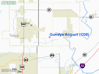
Location & QuickFacts
| FAA Information Effective: | 2008-09-25 |
| Airport Identifier: | O38 |
| Airport Status: | Operational |
| Longitude/Latitude: | 095-47-00.9470W/36-16-00.3460N
-95.783596/36.266763 (Estimated) |
| Elevation: | 720 ft / 219.46 m (Estimated) |
| Land: | 40 acres |
| From nearest city: | 3 nautical miles E of Owasso, OK |
| Location: | Rogers County, OK |
| Magnetic Variation: | 06E (1985) |
Owner & Manager
| Ownership: | Privately owned |
| Owner: | Roger Wieden |
| Address: | Po Box 693
Owasso, OK 74055 |
| Phone number: | 918-272-1523 |
| Manager: | Roger Wieden |
| Address: | Po Box 693
Owasso, OK 74055 |
| Phone number: | 918-272-1523 |
Airport Operations and Facilities
| Airport Use: | Open to public |
| Wind indicator: | Yes |
| Segmented Circle: | No |
| Control Tower: | No |
| Lighting Schedule: | DUSK-DAWN |
| Landing fee charge: | No |
| Sectional chart: | Kansas City |
| Region: | ASW - Southwest |
| Boundary ARTCC: | ZKC - Kansas City |
| Tie-in FSS: | MLC - Mc Alester |
| FSS on Airport: | No |
| FSS Toll Free: | 1-800-WX-BRIEF |
| NOTAMs Facility: | MLC (NOTAM-d service avaliable) |
Airport Communications
Airport Services
| Fuel available: | 100LL
FOR FUEL CALL 918-272-1523. |
Runway Information
Runway 17L/35R
| Dimension: | 2600 x 26 ft / 792.5 x 7.9 m |
| Surface: | ASPH, Fair Condition
SFC CRACKING AND UNEVEN. |
| Edge Lights: | Non-standard lighting system
NSTD MIRL; LGTS LCTD 35 FT FM RY EDGE; THLD LGTS MISSING. |
| |
Runway 17L |
Runway 35R |
| Traffic Pattern: | Left | Left |
| Markings: | Basic, Fair Condition
RY 17L/35R NSTD SMALL NRS LCTD 50 FT FM RY END. | Basic, Fair Condition |
| Obstruction: | 23 ft bldg, 260.0 ft from runway, 2:1 slope to clear | , 50:1 slope to clear
+15 FT ROAD 20 FT FM THLD; +20 FT TREES 60 FT FM THLD. |
|
Runway 17R/35L
| Dimension: | 1760 x 100 ft / 536.4 x 30.5 m |
| Surface: | TURF, Fair Condition
SFC CRACKING AND UNEVEN. |
| |
Runway 17R |
Runway 35L |
| Traffic Pattern: | Left | Left |
| Obstruction: | 30 ft trees, 50.0 ft from runway, 25 ft right of centerline, 1:1 slope to clear | 55 ft trees, 0.0 ft from runway, 25 ft left of centerline |
|
Radio Navigation Aids
| ID |
Type |
Name |
Ch |
Freq |
Var |
Dist |
| DW | NDB | Owaso | | 375.00 | 06E | 5.1 nm |
| OWP | NDB | William Pogue | | 362.00 | 06E | 18.8 nm |
| TQH | NDB | Tahlequah | | 215.00 | 05E | 43.0 nm |
| TZO | NDB | Bristow | | 251.00 | 05E | 43.2 nm |
| MKO | NDB | Muskogee | | 306.00 | 06E | 47.1 nm |
| MEE | VOR | Davis | | 108.60 | 06E | 41.5 nm |
| GNP | VOR/DME | Glenpool | 043X | 110.60 | 06E | 22.6 nm |
| OKM | VOR/DME | Okmulgee | 096X | 114.90 | 08E | 34.7 nm |
| BVO | VOR/DME | Bartlesville | 126X | 117.90 | 08E | 35.9 nm |
| TUL | VORTAC | Tulsa | 091X | 114.40 | 08E | 4.2 nm |
| TUL | VOT | Tulsa Intl | | 109.00 | | 4.2 nm |
Remarks
- ULTRALIGHT ACTIVITY ON & INVOF ARPT.
Images and information placed above are from
http://www.airport-data.com/airport/O38/
We thank them for the data!
| General Info
|
| Country |
United States
|
| State |
OKLAHOMA
|
| FAA ID |
O38
|
| Latitude |
36-16-00.346N
|
| Longitude |
095-47-00.947W
|
| Elevation |
720 feet
|
| Near City |
OWASSO
|
We don't guarantee the information is fresh and accurate. The data may
be wrong or outdated.
For more up-to-date information please refer to other sources.
|
|


