|
|
 |
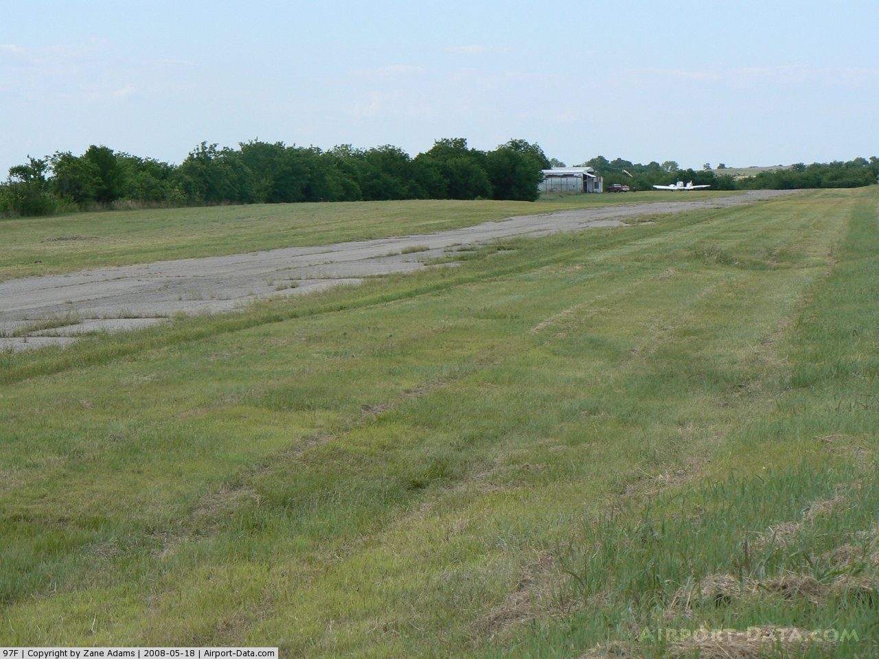
(Click on the photo to enlarge) |
 |
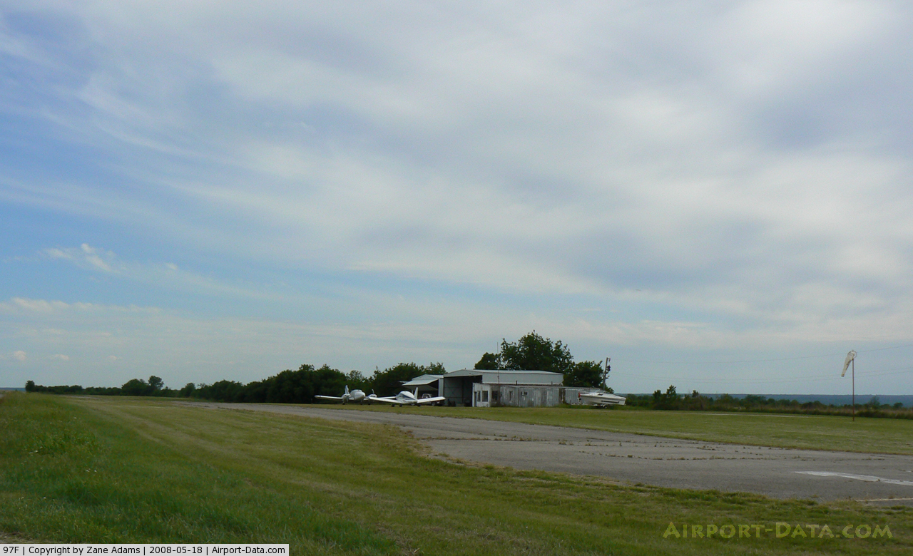
(Click on the photo to enlarge) |
Location & QuickFacts
| FAA Information Effective: | 2008-09-25 |
| Airport Identifier: | 97F |
| Airport Status: | Operational |
| Longitude/Latitude: | 097-06-30.0700W/34-32-47.3110N
-97.108353/34.546475 (Estimated) |
| Elevation: | 940 ft / 286.51 m (Estimated) |
| Land: | 14 acres |
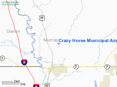
| From nearest city: | 3 nautical miles NE of Davis, OK |
| Location: | Murray County, OK |
| Magnetic Variation: | 07E (1985) |
Owner & Manager
| Ownership: | Publicly owned |
| Owner: | City Of Davis |
| Address: | 301 E Main
Davis, OK 73030 |
| Phone number: | 580-369-3333 |
| Manager: | Sandra Webb
CITY MANAGER. |
| Address: | 301 E. Main
Davis, OK 73030 |
| Phone number: | 580-369-3333 |
Airport Operations and Facilities
| Airport Use: | Open to public |
| Wind indicator: | Yes |
| Segmented Circle: | No |
| Control Tower: | No |
| Landing fee charge: | No |
| Sectional chart: | Dallas-ft Worth |
| Region: | ASW - Southwest |
| Boundary ARTCC: | ZFW - Fort Worth |
| Tie-in FSS: | MLC - Mc Alester |
| FSS on Airport: | No |
| FSS Toll Free: | 1-800-WX-BRIEF |
| NOTAMs Facility: | MLC (NOTAM-d service avaliable) |
Airport Communications
Runway Information
Runway 17/35
| Dimension: | 2600 x 34 ft / 792.5 x 10.4 m |
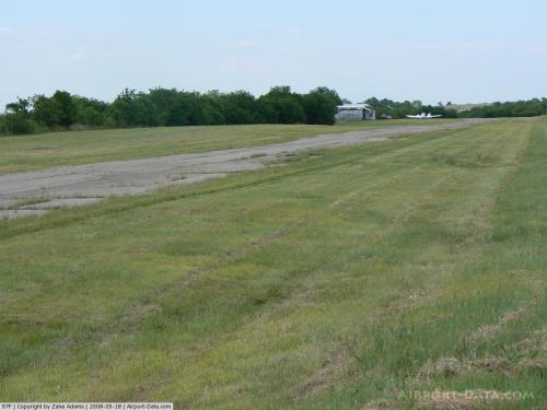
| Surface: | ASPH, Poor Condition
RY 17/35 HAS MODERATE TO SEVERE CRACKING & SEVERE GRASS ENCROACHMENT. |
| |
Runway 17 |
Runway 35 |
| Traffic Pattern: | Left | Left |
| Obstruction: | 15 ft road, 200.0 ft from runway, 80 ft left of centerline
+3 FT FENCE AND +15 FT TREES 48 FT FM RY THLD. +10 FT ROAD 27 FT FM RY THLD. | 15 ft road, 200.0 ft from runway, 80 ft right of centerline
+5 FT FENCE 10 FT FM RY THLD; +15 FT TREES 20 FT FM RY THLD; +25 FT TREES 85 FT FM RY THLD. |
|
Radio Navigation Aids
| ID |
Type |
Name |
Ch |
Freq |
Var |
Dist |
| PVJ | NDB | Pauls Valley | | 384.00 | 06E | 11.8 nm |
| AUV | NDB | Arbuckle | | 284.00 | 07E | 23.8 nm |
| OUN | NDB | Norman | | 260.00 | 07E | 45.8 nm |
| HDL | NDB | Holdenville | | 411.00 | 06E | 47.2 nm |
| SRE | NDB | Seminole | | 278.00 | 06E | 48.6 nm |
| DNI | NDB | Denison | | 341.00 | 06E | 48.6 nm |
| GLE | NDB | Gainesville | | 330.00 | 06E | 50.0 nm |
| ADH | VOR/DME | Ada | 125X | 117.80 | 06E | 26.6 nm |
| DUC | VOR/DME | Duncan | 047X | 111.00 | 09E | 41.2 nm |
| ADM | VORTAC | Ardmore | 114X | 116.70 | 06E | 20.3 nm |
Remarks
Images and information placed above are from
http://www.airport-data.com/airport/97F/
We thank them for the data!
|
|