 |
|
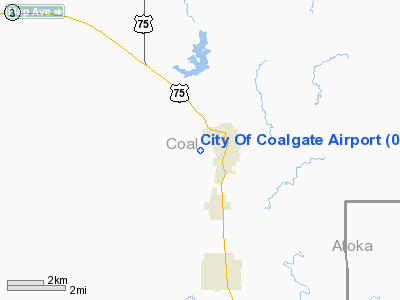
Location & QuickFacts
| FAA Information Effective: | 2008-09-25 |
| Airport Identifier: | 08F |
| Airport Status: | Operational |
| Longitude/Latitude: | 096-13-58.9940W/34-31-54.3320N
-96.233054/34.531759 (Estimated) |
| Elevation: | 615 ft / 187.45 m (Estimated) |
| Land: | 30 acres |
| From nearest city: | 1 nautical miles W of Coalgate, OK |
| Location: | Coal County, OK |
| Magnetic Variation: | 06E (1985) |
Owner & Manager
| Ownership: | Publicly owned |
| Owner: | City Of Coalgate |
| Address: | 3 South Main
Coalgate, OK 74538 |
| Phone number: | 580-927-3914 |
| Manager: | Roger Cosper |
| Address: | 3 South Main
Coalgate, OK 74538 |
| Phone number: | 580-927-3914 |
Airport Operations and Facilities
| Airport Use: | Open to public |
| Wind indicator: | Yes |
| Segmented Circle: | No |
| Control Tower: | No |
| Landing fee charge: | No |
| Sectional chart: | Dallas-ft Worth |
| Region: | ASW - Southwest |
| Boundary ARTCC: | ZFW - Fort Worth |
| Tie-in FSS: | MLC - Mc Alester |
| FSS on Airport: | No |
| FSS Toll Free: | 1-800-WX-BRIEF |
| NOTAMs Facility: | MLC (NOTAM-d service avaliable) |
Airport Communications
Runway Information
Runway 17/35
| Dimension: | 2584 x 80 ft / 787.6 x 24.4 m |
| Surface: | TURF, Fair Condition |
| |
Runway 17 |
Runway 35 |
| Traffic Pattern: | Left | Left |
| Displaced threshold: | 250.00 ft
THLD DSPLCD DALGT OPNS ONLY. | 275.00 ft
THLD DSPLCD DALGT OPNS ONLY. |
| Obstruction: | 4 ft road
APCH SLOPE 50:1 TO DSPLCD THLD. | 4 ft fence, 0.0 ft from runway
APCH SLOPE 50:1 TO DSPLCD THLD. |
|
Radio Navigation Aids
| ID |
Type |
Name |
Ch |
Freq |
Var |
Dist |
| HDL | NDB | Holdenville | | 411.00 | 06E | 34.4 nm |
| AEE | NDB | Antlers | | 391.00 | 05E | 35.3 nm |
| DUA | NDB | Durant | | 359.00 | 05E | 36.4 nm |
| HHW | NDB | Hugo | | 323.00 | 05E | 45.4 nm |
| DNI | NDB | Denison | | 341.00 | 06E | 47.8 nm |
| SRE | NDB | Seminole | | 278.00 | 06E | 49.5 nm |
| AUV | NDB | Arbuckle | | 284.00 | 07E | 49.8 nm |
| ADH | VOR/DME | Ada | 125X | 117.80 | 06E | 27.1 nm |
| URH | VOR/DME | Texoma | 090X | 114.30 | 05E | 36.2 nm |
| MLC | VORTAC | Mc Alester | 057X | 112.00 | 08E | 29.3 nm |
Remarks
- TWO +185 FT WATER TWRS 1320 FT FM RY 17 END 350 FT LEFT OF CNTRLN.
- VFR OPNS ONLY.
Images and information placed above are from
http://www.airport-data.com/airport/08F/
We thank them for the data!
| General Info
|
| Country |
United States
|
| State |
OKLAHOMA
|
| FAA ID |
08F
|
| Latitude |
34-31-54.332N
|
| Longitude |
096-13-58.994W
|
| Elevation |
615 feet
|
| Near City |
COALGATE
|
We don't guarantee the information is fresh and accurate. The data may
be wrong or outdated.
For more up-to-date information please refer to other sources.
|
|


