 |
|
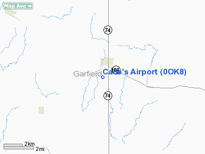
Location & QuickFacts
| FAA Information Effective: | 2008-09-25 |
| Airport Identifier: | 0OK8 |
| Airport Status: | Operational |
| Longitude/Latitude: | 097-35-35.1750W/36-17-33.1290N
-97.593104/36.292536 (Estimated) |
| Elevation: | 1140 ft / 347.47 m (Estimated) |
| Land: | 6 acres |
| From nearest city: | 1 nautical miles N of Covington, OK |
| Location: | Garfield County, OK |
| Magnetic Variation: | 07E (1985) |
Owner & Manager
| Ownership: | Privately owned |
| Owner: | Cade Boepple |
| Address: | 19414 E Hayward Rd
Covington, OK 73730 |
| Phone number: | 580-864-7947
HOME |
| Manager: | Cade Boepple |
| Address: | 19414 E Hayward Rd
Covington, OK 73730 |
| Phone number: | 405-517-9168
CELL |
Airport Operations and Facilities
| Airport Use: | Private |
| Wind indicator: | Yes |
| Segmented Circle: | No |
| Control Tower: | No |
| Sectional chart: | Wichita |
| Region: | ASW - Southwest |
| Boundary ARTCC: | ZKC - Kansas City |
| Tie-in FSS: | MLC - Mc Alester |
| FSS on Airport: | No |
| FSS Toll Free: | 1-800-WX-BRIEF |
Runway Information
Runway 17/35
| Dimension: | 2500 x 100 ft / 762.0 x 30.5 m |
| Surface: | TURF, Good Condition |
| |
Runway 17 |
Runway 35 |
| Traffic Pattern: | Left | Left |
|
Radio Navigation Aids
| ID |
Type |
Name |
Ch |
Freq |
Var |
Dist |
| LCY | NDB | Logan County | | 326.00 | 07E | 28.2 nm |
| PN | NDB | Ponca | | 515.00 | 05E | 39.9 nm |
| FAU | NDB | Fairview | | 246.00 | 07E | 42.9 nm |
| CUH | NDB | Cushing | | 242.00 | 05E | 46.5 nm |
| JWG | NDB | Watonga | | 359.00 | 07E | 48.0 nm |
| OK | NDB | Tuloo | | 406.00 | 07E | 49.4 nm |
| ODG | VOR/DME | Woodring | 027X | 109.00 | 08E | 10.6 nm |
| SWO | VOR/DME | Stillwater | 021X | 108.40 | 07E | 25.1 nm |
| PWA | VOR/DME | Wiley Post | 081X | 113.40 | 08E | 45.7 nm |
| END | VORTAC | Vance | 101X | 115.40 | 09E | 16.1 nm |
| PER | VORTAC | Pioneer | 079X | 113.20 | 06E | 34.4 nm |
| IFI | VORTAC | Kingfisher | 094X | 114.70 | 09E | 35.4 nm |
Remarks
- USE AT OWN RISK.
- PRVDD BOTH RYS BE DSPLCD TO PROVIDE A 20:1 APCH SLOPE.
Images and information placed above are from
http://www.airport-data.com/airport/0OK8/
We thank them for the data!
| General Info
|
| Country |
United States
|
| State |
OKLAHOMA
|
| FAA ID |
0OK8
|
| Latitude |
36-17-33.129N
|
| Longitude |
097-35-35.175W
|
| Elevation |
1140 feet
|
| Near City |
COVINGTON
|
We don't guarantee the information is fresh and accurate. The data may
be wrong or outdated.
For more up-to-date information please refer to other sources.
|
|


