 |
|
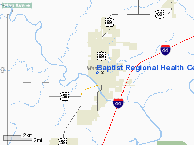
Baptist Rgnl Health Center Heliport |
Location & QuickFacts
| FAA Information Effective: | 2008-09-25 |
| Airport Identifier: | 8OK8 |
| Airport Status: | Operational |
| Longitude/Latitude: | 094-53-00.8390W/36-53-00.2520N
-94.883566/36.883403 (Estimated) |
| Elevation: | 806 ft / 245.67 m (Estimated) |
| Land: | 0 acres |
| From nearest city: | 0 nautical miles SW of Miami, OK |
| Location: | Ottawa County, OK |
| Magnetic Variation: | 04E (2000) |
Owner & Manager
| Ownership: | Privately owned |
| Owner: | Baptist Rgnl Health Center |
| Address: | 200 Second Ave Sw
Miami, OK 74354 |
| Phone number: | 918-542-6611 |
| Manager: | Baptist Rgnl Health Center |
| Address: | 200 Second Ave Sw
Miami, OK 74354 |
| Phone number: | 918-542-6611 |
Airport Operations and Facilities
| Airport Use: | Private
MEDICAL. |
| Wind indicator: | Yes |
| Segmented Circle: | No |
| Control Tower: | No |
| Landing fee charge: | No |
| Sectional chart: | Kansas City |
| Region: | ASW - Southwest |
| Boundary ARTCC: | ZKC - Kansas City |
| Tie-in FSS: | MLC - Mc Alester |
| FSS on Airport: | No |
| FSS Toll Free: | 1-800-WX-BRIEF |
Runway Information
Helipad H1
| Dimension: | 65 x 65 ft / 19.8 x 19.8 m |
| Surface: | CONC, |
| |
Runway H1 |
Runway |
| Traffic Pattern: | Left | Left |
|
Radio Navigation Aids
| ID |
Type |
Name |
Ch |
Freq |
Var |
Dist |
| PTS | NDB | Pittsburg | | 365.00 | 05E | 34.4 nm |
| CFV | NDB | Coffeyville | | 212.00 | 05E | 35.3 nm |
| PPF | NDB | Parsons | | 258.00 | 06E | 40.6 nm |
| LLU | NDB | Spring River | | 356.00 | 05E | 45.5 nm |
| SLG | NDB | Siloam Springs | | 284.00 | 04E | 45.9 nm |
| EOS | VOR/DME | Neosho | 120X | 117.30 | 07E | 21.7 nm |
| OSW | VORTAC | Oswego | 123X | 117.60 | 08E | 22.5 nm |
Remarks
- PRVDD LNDG AREA PERMIMETER LGTS ARE ILLUMINATED DURG ALL NIGHTS OPNS.
Images and information placed above are from
http://www.airport-data.com/airport/8OK8/
We thank them for the data!
| General Info
|
| Country |
United States
|
| State |
OKLAHOMA
|
| FAA ID |
8OK8
|
| Latitude |
36-53-00.252N
|
| Longitude |
094-53-00.839W
|
| Elevation |
806 feet
|
| Near City |
MIAMI
|
We don't guarantee the information is fresh and accurate. The data may
be wrong or outdated.
For more up-to-date information please refer to other sources.
|
|


