 |
|
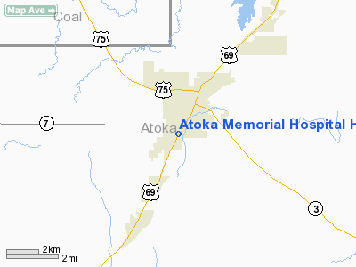
Atoka Memorial Hospital Heliport |
Location & QuickFacts
| FAA Information Effective: | 2008-09-25 |
| Airport Identifier: | 57OK |
| Airport Status: | Operational |
| Longitude/Latitude: | 096-08-20.9700W/34-22-10.3310N
-96.139158/34.369536 (Estimated) |
| Elevation: | 600 ft / 182.88 m (Estimated) |
| Land: | 0 acres |
| From nearest city: | 1 nautical miles SW of Atoka, OK |
| Location: | Atoka County, OK |
| Magnetic Variation: | 06E (1985) |
Owner & Manager
| Ownership: | Publicly owned |
| Owner: | Atoka Memorial Hospital |
| Address: | 1501 South Virginia
Atoka, OK 74525 |
| Phone number: | 405-889-3333 |
| Manager: | Robert Prater |
| Address: | 1501 South Virginia
Atoka, OK 74525 |
| Phone number: | 405-889-3333 |
Airport Operations and Facilities
| Airport Use: | Private
MEDICAL. |
| Wind indicator: | Yes |
| Segmented Circle: | No |
| Control Tower: | No |
| Lighting Schedule: | DUSK-DAWN |
| Sectional chart: | Dallas-ft Worth |
| Region: | ASW - Southwest |
| Boundary ARTCC: | ZFW - Fort Worth |
| Tie-in FSS: | MLC - Mc Alester |
| FSS Toll Free: | 1-800-WX-BRIEF |
Runway Information
Helipad H1
| Dimension: | 30 x 30 ft / 9.1 x 9.1 m |
| Surface: | CONC, |
| |
Runway H1 |
Runway |
| Traffic Pattern: | Left | Left |
|
Radio Navigation Aids
| ID |
Type |
Name |
Ch |
Freq |
Var |
Dist |
| AEE | NDB | Antlers | | 391.00 | 05E | 26.5 nm |
| DUA | NDB | Durant | | 359.00 | 05E | 28.8 nm |
| HHW | NDB | Hugo | | 323.00 | 05E | 35.8 nm |
| DNI | NDB | Denison | | 341.00 | 06E | 42.1 nm |
| HDL | NDB | Holdenville | | 411.00 | 06E | 45.1 nm |
| HJM | NDB | Rayburn | | 415.00 | 06E | 45.5 nm |
| URH | VOR/DME | Texoma | 090X | 114.30 | 05E | 28.5 nm |
| ADH | VOR/DME | Ada | 125X | 117.80 | 06E | 37.0 nm |
| MLC | VORTAC | Mc Alester | 057X | 112.00 | 08E | 33.8 nm |
Remarks
- PLINES WEST ARE MKD; LIGHT STANDARD NW BE MKD + LGTD; INGRESS/EGRESS BE TO/FM SE.
Images and information placed above are from
http://www.airport-data.com/airport/57OK/
We thank them for the data!
| General Info
|
| Country |
United States
|
| State |
OKLAHOMA
|
| FAA ID |
57OK
|
| Latitude |
34-22-10.331N
|
| Longitude |
096-08-20.970W
|
| Elevation |
600 feet
|
| Near City |
ATOKA
|
We don't guarantee the information is fresh and accurate. The data may
be wrong or outdated.
For more up-to-date information please refer to other sources.
|
|


