|
|
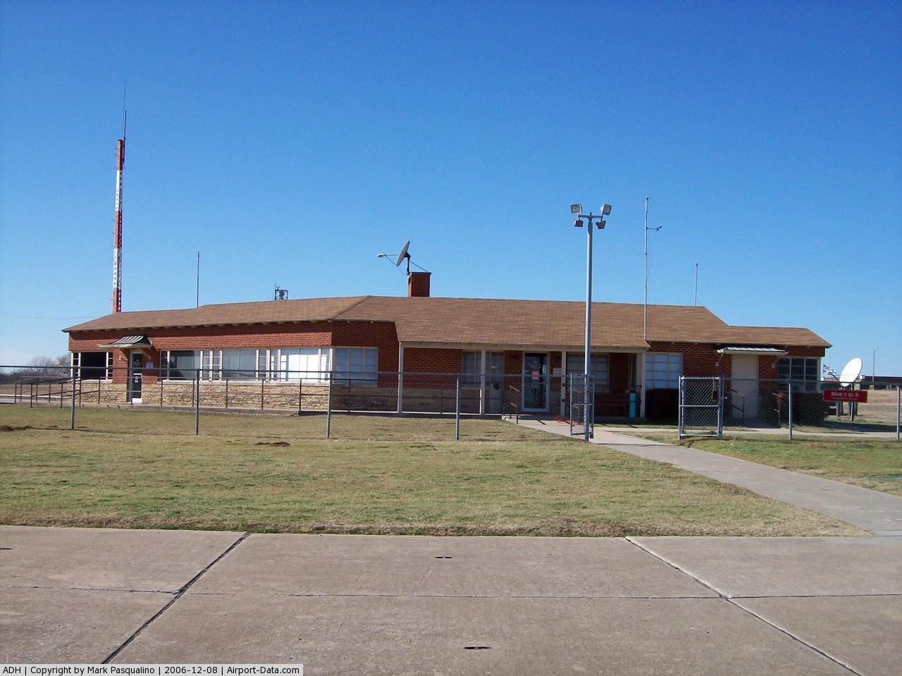
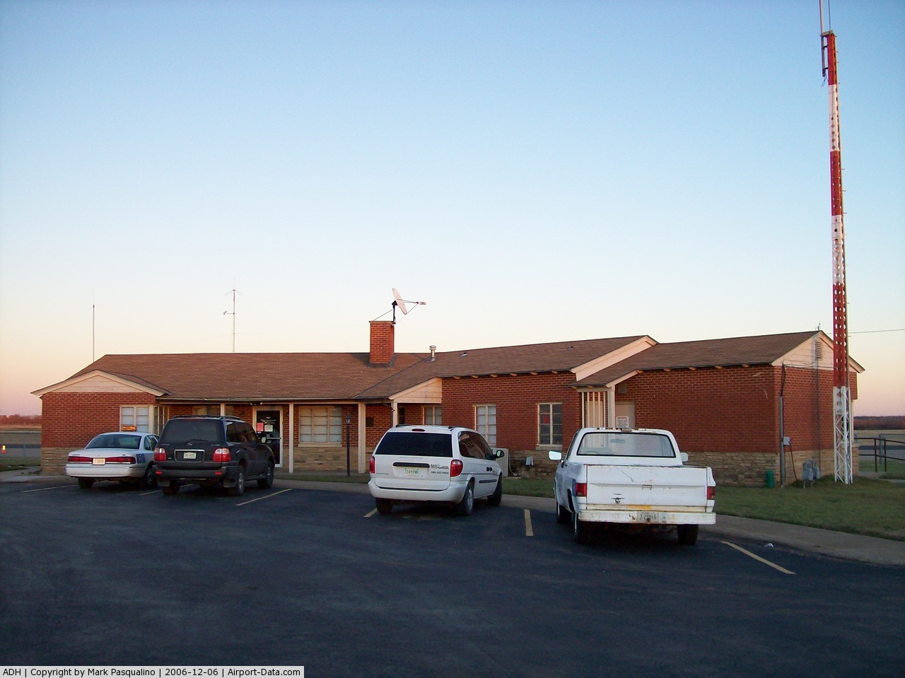
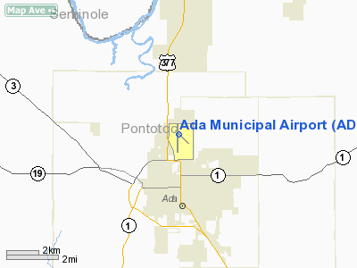
| Ada Municipal Airport |
| IATA: ADT – ICAO: KADH – FAA LID: ADH |
| Summary |
| Airport type |
Public |
| Owner |
City of Ada |
| Location |
Ada, Oklahoma |
| Elevation AMSL |
1,016 ft / 310 m |
| Coordinates |
34°48′16″N 096°40′17″W / 34.80444°N 96.67139°W / 34.80444; -96.67139 |
| Runways |
| Direction |
Length |
Surface |
| ft |
m |
| 17/35 |
6,203 |
1,891 |
Asphalt |
| 13/31 |
3,103 |
946 |
Asphalt |
| Statistics (2005) |
| Aircraft operations |
12,250 |
| Based aircraft |
48 |
| Source: Federal Aviation Administration |
Ada Municipal Airport (IATA: ADT, ICAO: KADH, FAA LID: ADH) is a public airport located two miles (3 km) north of the central business district of Ada, a city in Pontotoc County, Oklahoma, United States. It is owned by the City of Ada, which is located in southeast Oklahoma, 88 miles (142 km) southeast of Oklahoma City.
Although most U.S. airports use the same three-letter location identifier for the FAA and IATA, Ada Municipal Airport is assigned ADH by the FAA and ADT by the IATA (which assigned ADH to Aldan Airport in Aldan, Russia).
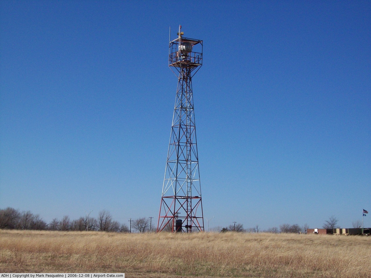
Facilities and aircraft
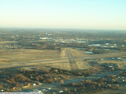
Ada Municipal Airport covers an area of 770 acres (3.1 km) which contains two asphalt paved runways: 17/35 measuring 6,203 x 100 ft (30 m). (1,891 x 30 m) and 13/31 measuring 3,103 x 50 ft (15 m). (946 x 15 m).
For the 12-month period ending September 12, 2005, the airport had 12,250 aircraft operations, an average of 33 per day: 98% general aviation and 2% military. There are 48 aircraft based at this airport: 83% single engine, 10% multi-engine and 6% jet aircraft.
The above content comes from Wikipedia and is published under free licenses – click here to read more.
 |
(Click on the photo to enlarge) |
 |
(Click on the photo to enlarge) |
 |
(Click on the photo to enlarge) |
 |
(Click on the photo to enlarge) |
 |
(Click on the photo to enlarge) |
 |
(Click on the photo to enlarge) |
 |
(Click on the photo to enlarge) |
 |
(Click on the photo to enlarge) |
 |
(Click on the photo to enlarge) |
 |
(Click on the photo to enlarge) |
Location & QuickFacts
| FAA Information Effective: | 2008-09-25 |
| Airport Identifier: | ADH |
| Airport Status: | Operational |
| Longitude/Latitude: | 096-40-16.1319W/34-48-15.0964N
-96.671148/34.804193 (Estimated) |
| Elevation: | 1016 ft / 309.68 m (Surveyed) |
| Land: | 770 acres |
| From nearest city: | 2 nautical miles N of Ada, OK |
| Location: | Pontotoc County, OK |
| Magnetic Variation: | 06E (1995) |
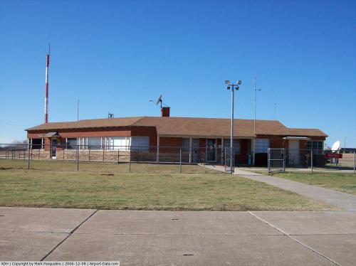
Owner & Manager
| Ownership: | Publicly owned |
| Owner: | City Of Ada |
| Address: | City Hall, 512 N. Stockton
Ada, OK 74820 |
| Phone number: | 580-436-6300 |
| Manager: | Terry Hall |
| Address: | 512 N Stockton
Ada, OK 74820 |
| Phone number: | 580-436-8190 |
Airport Operations and Facilities
| Airport Use: | Open to public |
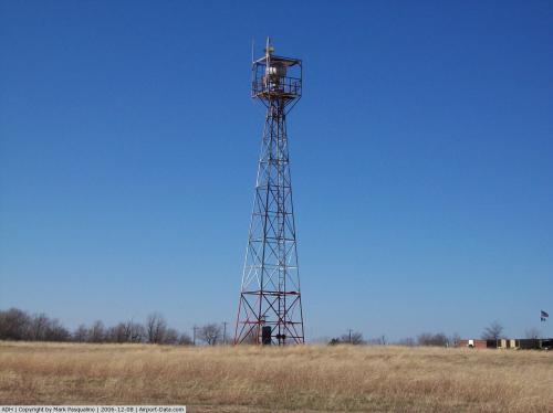
| Wind indicator: | Yes |
| Segmented Circle: | Yes |
| Control Tower: | No |
| Lighting Schedule: | DUSK-DAWN
MIRL RY 17/35 PRESET LOW INTST; TO INCR INTST & ACTVT REIL RY 35 AND ODALS RY 17 - CTAF. |
| Beacon Color: | Clear-Green (lighted land airport) |
| Landing fee charge: | Yes
LANDING FEE FOR ACFT WEIGHT 50,000 LBS OR GREATER. |
| Sectional chart: | Dallas-ft Worth |
| Region: | ASW - Southwest |
| Traffic Pattern Alt: | 792 ft |
| Boundary ARTCC: | ZFW - Fort Worth |
| Tie-in FSS: | MLC - Mc Alester |
| FSS on Airport: | No |
| FSS Toll Free: | 1-800-WX-BRIEF |
| NOTAMs Facility: | ADH (NOTAM-d service avaliable) |
| Federal Agreements: | NGY3 |
Airport Communications
| CTAF: | 122.800 |
| Unicom: | 122.800 |
Airport Services
| Fuel available: | 100LLA
FOR FUEL AFT HRS CALL 580-310-6062. |
| Airframe Repair: | MAJOR |
| Power Plant Repair: | MAJOR |
| Bottled Oxygen: | NONE |
| Bulk Oxygen: | NONE |
Runway Information
Runway 13/31
| Dimension: | 2100 x 50 ft / 640.1 x 15.2 m |
| Surface: | ASPH, Fair Condition |
| Pavement Class: | 3 /F/C/Z/T |
| Weight Limit: | Single wheel: 50000 lbs.
Dual wheel: 171000 lbs.
Dual tandem wheel: 280000 lbs. |
| |
Runway 13 |
Runway 31 |
| Longitude: | 096-40-16.2269W | 096-39-58.4550W |
| Latitude: | 34-48-16.5006N | 34-48-01.7850N |
| Elevation: | 1004.00 ft | 979.00 ft |
| Alignment: | 127 | 127 |
| Traffic Pattern: | Left | Left |
| Markings: | Basic, Good Condition | Basic, Fair Condition |
| Obstruction: | , 50:1 slope to clear | 184 ft ant, 6299.0 ft from runway, 153 ft left of centerline, 33:1 slope to clear |
|
Runway 17/35
| Dimension: | 6203 x 100 ft / 1890.7 x 30.5 m |
| Surface: | ASPH, Good Condition |
| Pavement Class: | 4 /F/B/X/T |
| Weight Limit: | Single wheel: 50000 lbs.
Dual wheel: 140000 lbs.
Dual tandem wheel: 224000 lbs. |
| Edge Lights: | Medium |
| |
Runway 17 |
Runway 35 |
| Longitude: | 096-40-19.1120W | 096-40-19.1040W |
| Latitude: | 34-48-47.7850N | 34-47-46.4390N |
| Elevation: | 1016.00 ft | 979.00 ft |
| Alignment: | 127 | 127 |
| Traffic Pattern: | Left | Left |
| Markings: | Non-precision instrument, Fair Condition | Non-precision instrument, Fair Condition |
| Crossing Height: | 44.00 ft | 19.00 ft |
| Displaced threshold: | 0.00 ft | 100.00 ft |
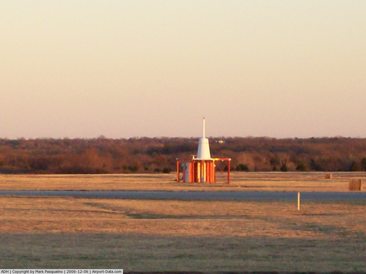
| VASI: | 4-light PAPI on left side | 4-light PAPI on left side |
| Visual Glide Angle: | 3.00° | 2.00° |
| Approach lights: | ODALS | |
| Runway End Identifier: | No | Yes
REIL OTS INDEFLY. |
| Obstruction: | 35 ft pline, 1596.0 ft from runway, 39:1 slope to clear | 50 ft trees, 900.0 ft from runway, 200 ft left of centerline, 14:1 slope to clear
APCH SLOPE 31:1 FM DSPLCD THLD. |
|
Radio Navigation Aids
| ID |
Type |
Name |
Ch |
Freq |
Var |
Dist |
| HDL | NDB | Holdenville | | 411.00 | 06E | 21.1 nm |
| PVJ | NDB | Pauls Valley | | 384.00 | 06E | 28.1 nm |
| SRE | NDB | Seminole | | 278.00 | 06E | 28.1 nm |
| GGU | NDB | Prague | | 314.00 | 06E | 42.9 nm |
| AUV | NDB | Arbuckle | | 284.00 | 07E | 45.3 nm |
| OUN | NDB | Norman | | 260.00 | 07E | 47.5 nm |
| HET | NDB | Henryetta | | 267.00 | 04E | 48.4 nm |
| ADH | VOR/DME | Ada | 125X | 117.80 | 06E | 0.1 nm |
| ADM | VORTAC | Ardmore | 114X | 116.70 | 06E | 43.3 nm |
| MLC | VORTAC | Mc Alester | 057X | 112.00 | 08E | 43.9 nm |
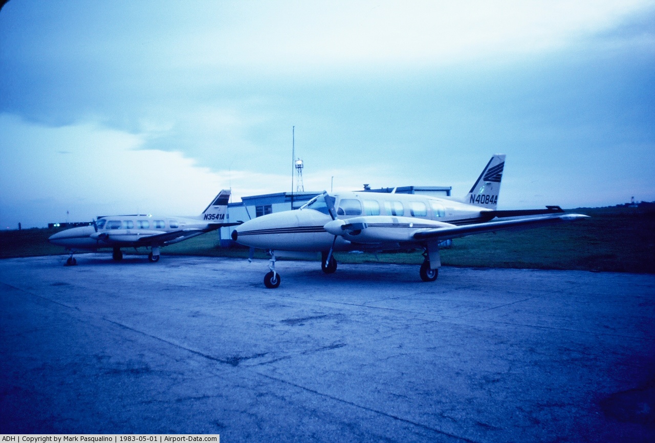
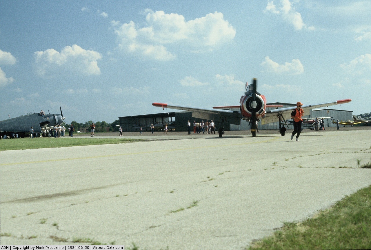
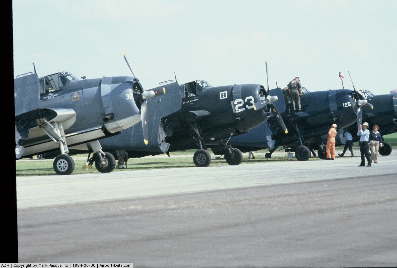
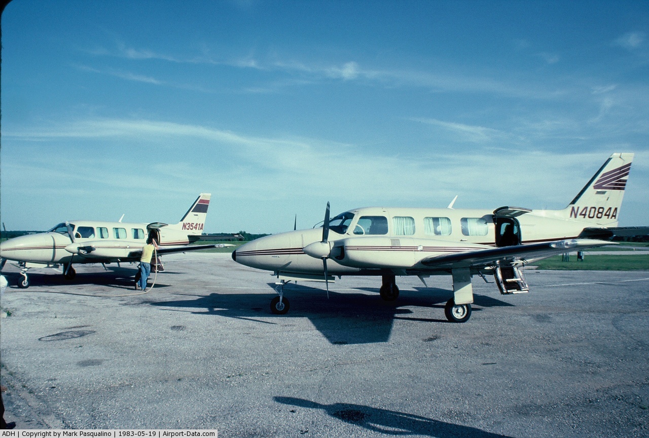
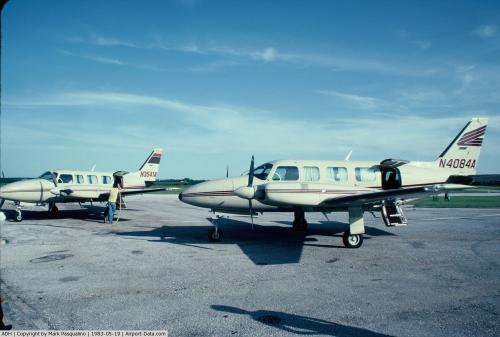
Images and information placed above are from
http://www.airport-data.com/airport/ADH/
We thank them for the data!
| General Info
|
| Country |
United States
|
| State |
OKLAHOMA
|
| FAA ID |
ADH
|
| Latitude |
34-48-15.626N
|
| Longitude |
096-40-16.599W
|
| Elevation |
1016 feet
|
| Near City |
ADA
|
We don't guarantee the information is fresh and accurate. The data may
be wrong or outdated.
For more up-to-date information please refer to other sources.
|
|