|
|
 |
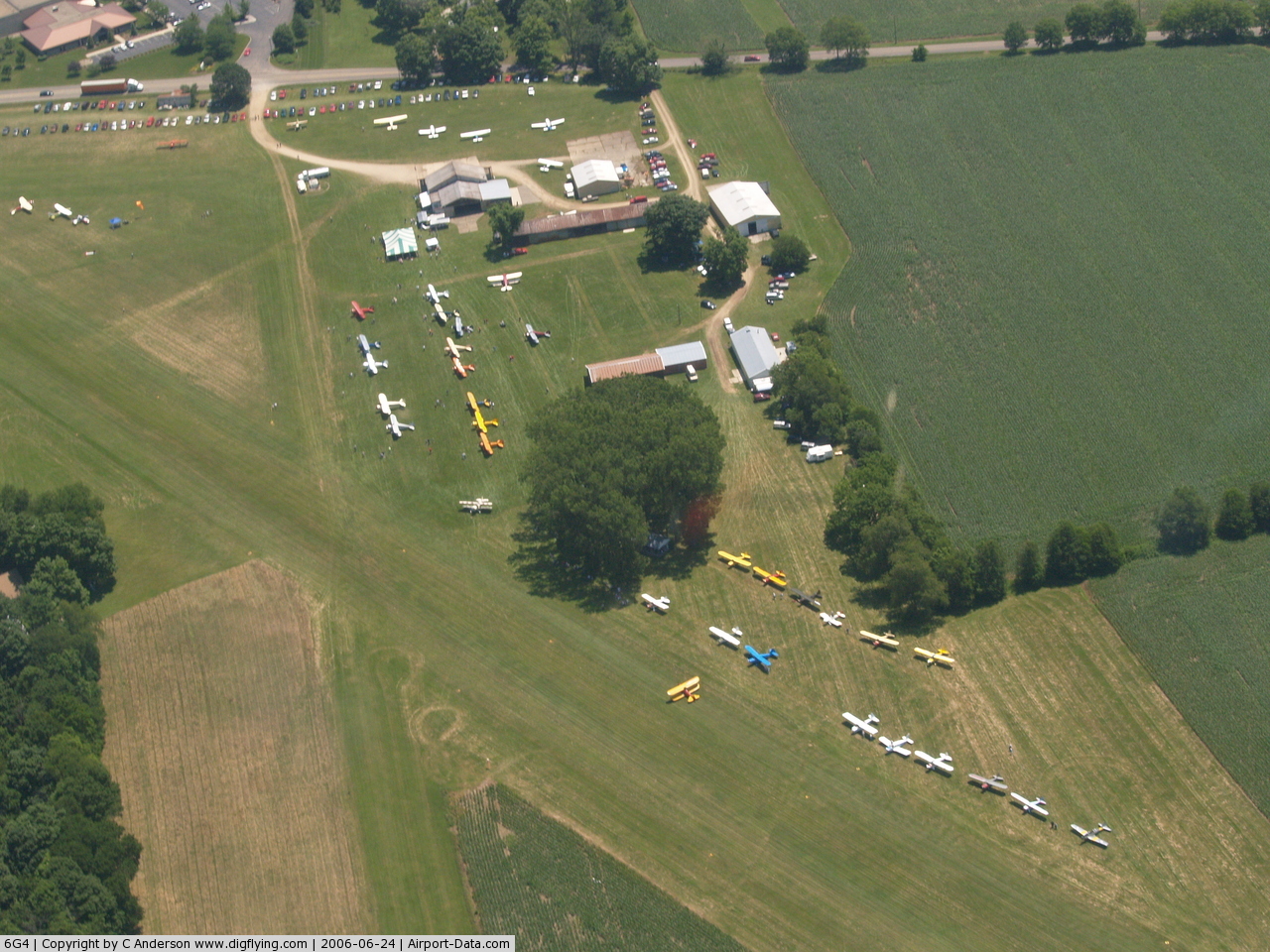
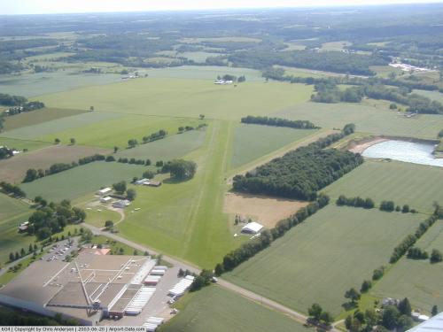
(Click on the photo to enlarge) |
 |
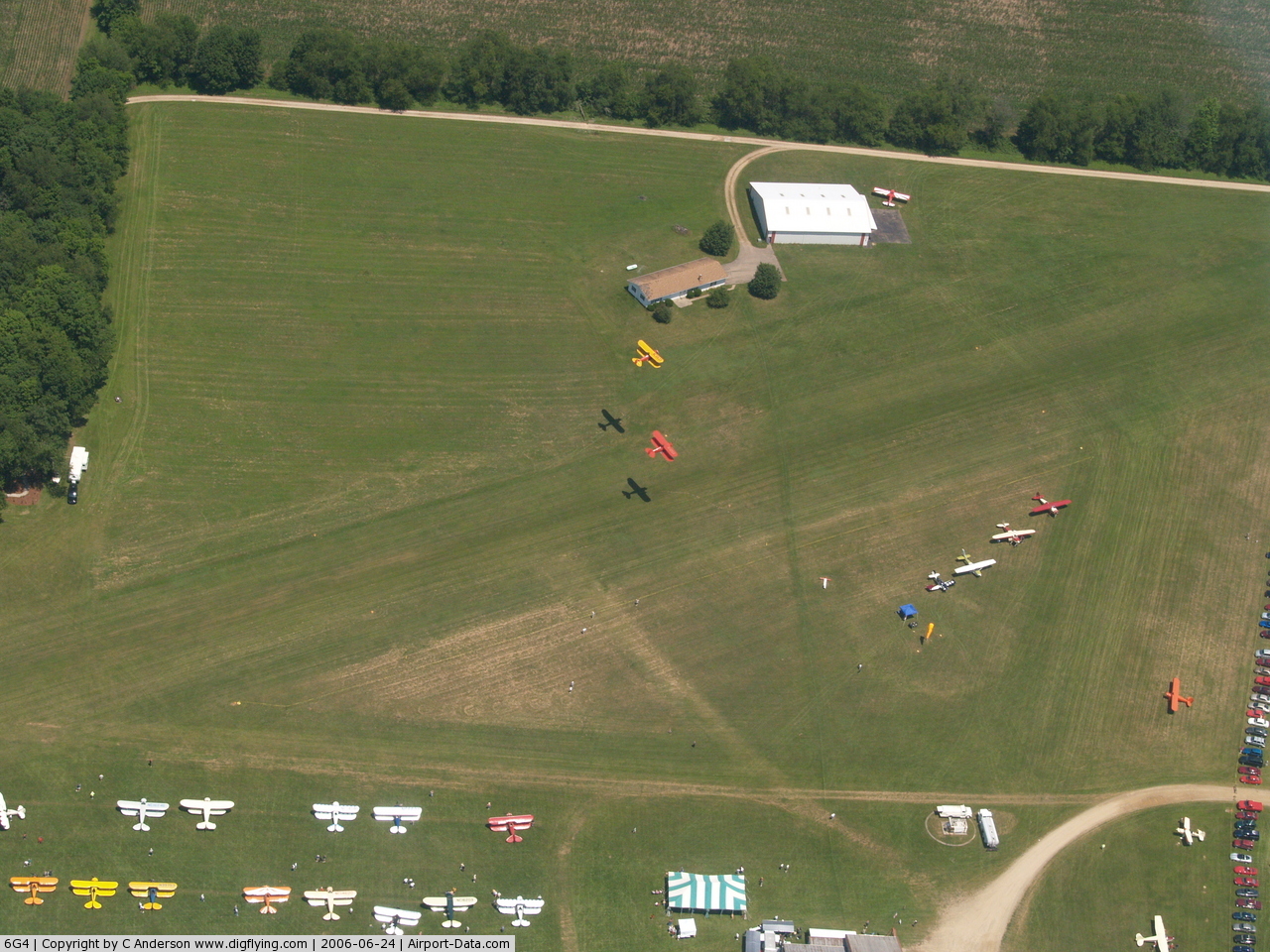
(Click on the photo to enlarge) |
 |
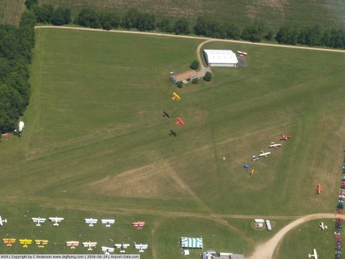
(Click on the photo to enlarge) |
Location & QuickFacts
| FAA Information Effective: | 2008-09-25 |
| Airport Identifier: | 6G4 |
| Airport Status: | Operational |
| Longitude/Latitude: | 082-29-44.5850W/40-21-54.2240N
-82.495718/40.365062 (Estimated) |
| Elevation: | 1041 ft / 317.30 m (Surveyed) |
| Land: | 70 acres |
| From nearest city: | 2 nautical miles S of Mount Vernon, OH |
| Location: | Knox County, OH |
| Magnetic Variation: | 06W (1985) |
Owner & Manager
| Ownership: | Privately owned |
| Owner: | Brian K. Wynkoop |
| Address: | 9051 Granville Rd
Mount Vernon, OH 43050 |
| Phone number: | 740-392-9125
MGR HOME740-392-9125 |
| Manager: | Brian K. Wynkoop |
| Address: | 9051 Granville Rd
Mount Vernon, OH 43050 |
| Phone number: | 740-392-8351 |
Airport Operations and Facilities
| Airport Use: | Open to public |
| Wind indicator: | Yes |
| Segmented Circle: | No |
| Control Tower: | No |
| Lighting Schedule: | PHONE REQ
FOR ROTG BCN CALL 740-392-9125. |
| Beacon Color: | Clear-Green (lighted land airport) |
| Landing fee charge: | No |
| Sectional chart: | Detroit |
| Region: | AGL - Great Lakes |
| Boundary ARTCC: | ZID - Indianapolis |
| Tie-in FSS: | CLE - Cleveland |
| FSS on Airport: | No |
| FSS Toll Free: | 1-800-WX-BRIEF |
| NOTAMs Facility: | CLE (NOTAM-d service avaliable) |
Airport Communications
Airport Services
| Fuel available: | 100LL |
| Airframe Repair: | MINOR |
| Power Plant Repair: | MINOR |
| Bottled Oxygen: | NONE |
| Bulk Oxygen: | NONE |
Runway Information
Runway 06/24
| Dimension: | 3355 x 90 ft / 1022.6 x 27.4 m |
| Surface: | TURF, Good Condition |
| Edge Lights: | Non-standard lighting system
NSTD LIRL; ONE GREEN THLD LGT EACH SIDE OF THLD; DSPLCD THLDS NOT LGTD; 2617 FT OF RY LGTD. |
| |
Runway 06 |
Runway 24 |
| Longitude: | 082-30-04.4000W | 082-29-24.7500W |
| Latitude: | 40-21-46.3200N | 40-22-02.1100N |
| Elevation: | 1041.00 ft | 1041.00 ft |
| Traffic Pattern: | Left | Left |
| Displaced threshold: | 43.00 ft | 400.00 ft |
| Runway End Identifier: | No | No |
| Centerline Lights: | No | No |
| Touchdown Lights: | No | No |
| Obstruction: | 123 ft trees, 3055.0 ft from runway, 25:1 slope to clear | 15 ft road, 5.0 ft from runway, 52 ft left of centerline
APCH SLOPE 8:1 TO DSPLCD THLD OVER 55 FTTREES 450 FT FM 155 FT R. |
|
Runway 09/27
| Dimension: | 2600 x 65 ft / 792.5 x 19.8 m |
| Surface: | TURF, Good Condition |
| |
Runway 09 |
Runway 27 |
| Traffic Pattern: | Left | Left |
| Obstruction: | 14 ft brush, 20 ft left of centerline | 15 ft road, 0.0 ft from runway |
|
Radio Navigation Aids
| ID |
Type |
Name |
Ch |
Freq |
Var |
Dist |
| HEH | NDB | Newark | | 524.00 | 06W | 20.4 nm |
| MF | NDB | Manns | | 372.00 | 06W | 24.2 nm |
| CM | NDB | Sumie | | 391.00 | 05W | 25.7 nm |
| DLZ | NDB | Delaware | | 215.00 | 06W | 28.3 nm |
| MNN | NDB | Marion | | 201.00 | 05W | 30.3 nm |
| MLR | NDB | Millersburg/dcmsnd | | 382.00 | 06W | 30.4 nm |
| DKG | NDB | Don Scott | | 348.00 | 05W | 31.8 nm |
| CHC | NDB | Grens | | 272.00 | 04W | 32.5 nm |
| OS | NDB | Fuler | | 515.00 | 05W | 36.7 nm |
| AAU | NDB | Ashland | | 329.00 | 07W | 37.6 nm |
| HRA | NDB | Zanesville | | 204.00 | 06W | 38.2 nm |
| MRT | NDB | Marysville | | 403.00 | 05W | 40.0 nm |
| BU | NDB | Boutn | | 230.00 | 05W | 46.3 nm |
| LCK | TACAN | Rickenbacker | 069X | | 05W | 38.9 nm |
| BUD | VOR | Buckeye | | 109.80 | 05W | 30.1 nm |
| TVT | VOR/DME | Tiverton | 112X | 116.50 | 03W | 17.8 nm |
| ZZV | VOR/DME | Zanesville | 051X | 111.40 | 06W | 37.7 nm |
| CTW | VOR/DME | Newcomerstown | 055X | 111.80 | 07W | 47.4 nm |
| APE | VORTAC | Appleton | 114X | 116.70 | 06W | 13.5 nm |
| MFD | VORTAC | Mansfield | 025X | 108.80 | 03W | 30.6 nm |
| CMH | VOT | Port Columbus | | 111.00 | | 28.6 nm |
Remarks
- -1 FT DITCH RY 24 END 0 FT FROM L & R.
- IN OPERATION PRIOR TO 1959.
Images and information placed above are from
http://www.airport-data.com/airport/6G4/
We thank them for the data!
| General Info
|
| Country |
United States
|
| State |
OHIO
|
| FAA ID |
6G4
|
| Latitude |
40-21-54.224N
|
| Longitude |
082-29-44.585W
|
| Elevation |
1041 feet
|
| Near City |
MOUNT VERNON
|
We don't guarantee the information is fresh and accurate. The data may
be wrong or outdated.
For more up-to-date information please refer to other sources.
|
|