|
|
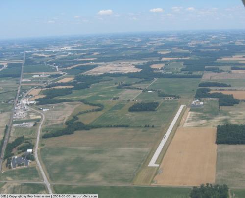 |
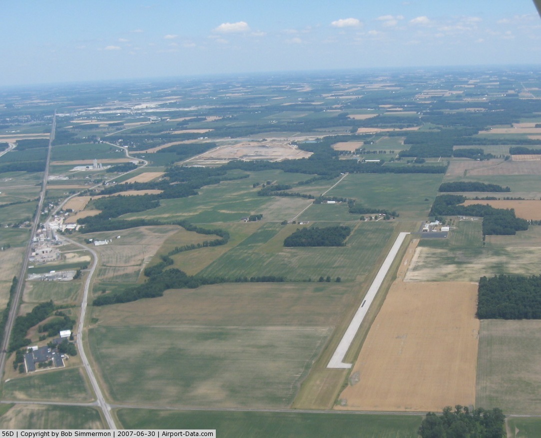
(Click on the photo to enlarge) |
Location & QuickFacts
| FAA Information Effective: | 2008-09-25 |
| Airport Identifier: | 56D |
| Airport Status: | Operational |
| Longitude/Latitude: | 083-18-52.3136W/40-53-00.1269N
-83.314532/40.883369 (Estimated) |
| Elevation: | 830 ft / 252.98 m (Estimated) |
| Land: | 107 acres |
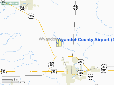
| From nearest city: | 4 nautical miles NW of Upper Sandusky, OH |
| Location: | Wyandot County, OH |
| Magnetic Variation: | 05W (1985) |
Owner & Manager
| Ownership: | Publicly owned |
| Owner: | County Airport Authority |
| Address: | Po Box 276
Upper Sandusky, OH 43351 |
| Manager: | Larry Fruth |
| Address: | 10841 Cr 42
Upper Sandusky, OH 43351 |
| Phone number: | 419-294-3814
ADDNL PHONE 419-294-3642 LARRY FRUTH. |
Airport Operations and Facilities
| Airport Use: | Open to public |
| Wind indicator: | Yes |
| Segmented Circle: | No |
| Control Tower: | No |
| Lighting Schedule: | DUSK-DAWN
ACTVT MIRL RY 18/36 - 123.050. |
| Beacon Color: | Clear-Green (lighted land airport) |
| Landing fee charge: | No |
| Sectional chart: | Detroit |
| Region: | AGL - Great Lakes |
| Boundary ARTCC: | ZOB - Cleveland |
| Tie-in FSS: | CLE - Cleveland |
| FSS on Airport: | No |
| FSS Toll Free: | 1-800-WX-BRIEF |
| NOTAMs Facility: | CLE (NOTAM-d service avaliable) |
| Federal Agreements: | N |
Airport Communications
Airport Services
Runway Information
Runway 18/36
| Dimension: | 3997 x 75 ft / 1218.3 x 22.9 m |
| Surface: | ASPH, Good Condition |
| Weight Limit: | Single wheel: 12500 lbs. |
| Edge Lights: | Medium |
| |
Runway 18 |
Runway 36 |
| Longitude: | 083-18-52.1884W | 083-18-52.4388W |
| Latitude: | 40-53-19.8722N | 40-52-40.3815N |
| Elevation: | 824.00 ft | 828.00 ft |
| Alignment: | 127 | 0 |
| Traffic Pattern: | Left | Left |
| Runway End Identifier: | | No |
| Centerline Lights: | No | No |
| Touchdown Lights: | No | No |
| Obstruction: | 79 ft trees, 1076.0 ft from runway, 207 ft left of centerline, 11:1 slope to clear | 21 ft pline, 620.0 ft from runway, 20:1 slope to clear |
|
Radio Navigation Aids
| ID |
Type |
Name |
Ch |
Freq |
Var |
Dist |
| TII | NDB | Tiffin | | 269.00 | 05W | 13.8 nm |
| BNR | NDB | Benton Ridge | | 334.00 | 05W | 18.1 nm |
| FZI | NDB | Fostoria | | 379.00 | 05W | 18.7 nm |
| MNN | NDB | Marion | | 201.00 | 05W | 19.5 nm |
| RUV | NDB | Rushsylvania | | 326.00 | 05W | 30.2 nm |
| PDR | NDB | Ottawa | | 233.00 | 05W | 31.3 nm |
| LYL | NDB | Lima | | 362.00 | 04W | 34.0 nm |
| DLZ | NDB | Delaware | | 215.00 | 06W | 37.7 nm |
| EDJ | NDB | Bellefontaine | | 242.00 | 05W | 38.3 nm |
| MRT | NDB | Marysville | | 403.00 | 05W | 39.5 nm |
| MF | NDB | Manns | | 372.00 | 06W | 40.2 nm |
| PCW | NDB | Port Clinton | | 423.00 | 06W | 43.2 nm |
| AAU | NDB | Ashland | | 329.00 | 07W | 48.4 nm |
| OS | NDB | Fuler | | 515.00 | 05W | 49.0 nm |
| DKG | NDB | Don Scott | | 348.00 | 05W | 49.5 nm |
| TOL | TACAN | Toledo | 072X | | 05W | 48.0 nm |
| MAH | VOR | Marathon | | 114.90 | 05W | 17.7 nm |
| BUD | VOR | Buckeye | | 109.80 | 05W | 19.7 nm |
| AOH | VOR | Allen County | | 108.40 | 04W | 31.6 nm |
| VWV | VOR/DME | Waterville | 078X | 113.10 | 02W | 37.2 nm |
| SKY | VOR/DME | Sandusky | 029X | 109.20 | 04W | 44.6 nm |
| FDY | VORTAC | Findlay | 019X | 108.20 | 02W | 20.5 nm |
| MFD | VORTAC | Mansfield | 025X | 108.80 | 03W | 32.9 nm |
| ROD | VORTAC | Rosewood | 122X | 117.50 | 05W | 48.9 nm |
Remarks
Images and information placed above are from
http://www.airport-data.com/airport/56D/
We thank them for the data!
| General Info
|
| Country |
United States
|
| State |
OHIO
|
| FAA ID |
56D
|
| Latitude |
40-53-00.101N
|
| Longitude |
083-18-52.317W
|
| Elevation |
830 feet
|
| Near City |
UPPER SANDUSKY
|
We don't guarantee the information is fresh and accurate. The data may
be wrong or outdated.
For more up-to-date information please refer to other sources.
|
|