|
|

 |
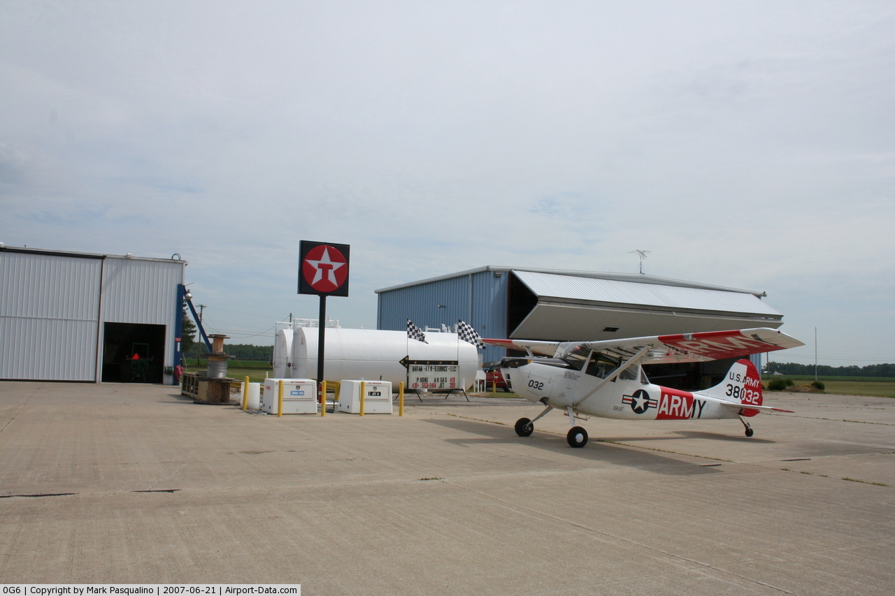
(Click on the photo to enlarge) |
 |
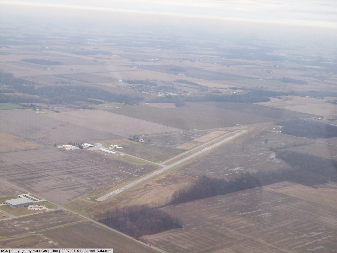
(Click on the photo to enlarge) |
 |
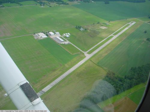
(Click on the photo to enlarge) |
Location & QuickFacts
| FAA Information Effective: | 2008-09-25 |
| Airport Identifier: | 0G6 |
| Airport Status: | Operational |
| Longitude/Latitude: | 084-30-23.6000W/41-28-02.5000N
-84.506556/41.467361 (Estimated) |
| Elevation: | 730 ft / 222.50 m (Surveyed) |
| Land: | 205 acres |
| From nearest city: | 2 nautical miles E of Bryan, OH |
| Location: | Williams County, OH |
| Magnetic Variation: | 05W (2000) |
Owner & Manager
| Ownership: | Publicly owned |
| Owner: | Williams County Commissioners |
| Address: | 1 Courthouse Square
Bryan, OH 43506 |
| Phone number: | 419-636-2059 |
| Manager: | Terry Hallett |
| Address: | 16288 Cr D
Bryan, OH 43506 |
| Phone number: | 419-636-1657 |
Airport Operations and Facilities
| Airport Use: | Open to public |
| Wind indicator: | Yes |
| Segmented Circle: | No |
| Control Tower: | No |
| Lighting Schedule: | DUSK-DAWN
ACTVT REIL RY 07/25 - 123.0 |
| Beacon Color: | Clear-Green (lighted land airport) |
| Landing fee charge: | No |
| Sectional chart: | Detroit |
| Region: | AGL - Great Lakes |
| Boundary ARTCC: | ZOB - Cleveland |
| Tie-in FSS: | CLE - Cleveland |
| FSS on Airport: | No |
| FSS Toll Free: | 1-800-WX-BRIEF |
| NOTAMs Facility: | CLE (NOTAM-d service avaliable) |
| Federal Agreements: | N |
Airport Communications
| CTAF: | 122.800 |
| Unicom: | 122.800 |
Airport Services
| Fuel available: | 100LLA |
| Bulk Oxygen: | NONE |
Runway Information
Runway 07/25
| Dimension: | 4781 x 75 ft / 1457.2 x 22.9 m
RWY 7 DSPLCD 50 FT. RWY 25 DSPLCD 169 FT. |
| Surface: | ASPH, Fair Condition |
| Weight Limit: | Single wheel: 30000 lbs. |
| Edge Lights: | Low |
| |
Runway 07 |
Runway 25 |
| Longitude: | 084-30-53.5220W | 084-29-55.1900W |
| Latitude: | 41-27-53.5020N | 41-28-11.0170N |
| Elevation: | 729.00 ft | 730.00 ft |
| Alignment: | 68 | 127 |
| Traffic Pattern: | Left | Left |
| Markings: | Non-precision instrument, Good Condition | Non-precision instrument, Good Condition |
| Displaced threshold: | 290.00 ft | 629.00 ft |
| VASI: | 2-box SAVASI on left side
OTS INDEFLY. | |
| Runway End Identifier: | Yes | Yes |
| Centerline Lights: | No | No |
| Touchdown Lights: | No | No |
| Obstruction: | 99 ft trees, 420.0 ft from runway, 280 ft right of centerline, 2:1 slope to clear
RWY 7 APCH SLOP 7:1 TO DSPLCD THLD DUE TO +99 FT TREES 560 FT FM DSPLCD THLD 330 FT LEFT | 15 ft road, 319.0 ft from runway, 266 ft right of centerline, 7:1 slope to clear
RWY 25 APCH SLOP 18:1 TO DSPLCD THLD DUE TO +84 FT TREES 1580 FT FM DSPLCD THLD 415 FT LEFT.
RWY 25 +15 FT ROAD 161 FT FM 250 FT RIGHT. |
|
Radio Navigation Aids
| ID |
Type |
Name |
Ch |
Freq |
Var |
Dist |
| BYN | NDB | Bryan | | 260.00 | 04W | 2.0 nm |
| DFI | NDB | Defiance | | 246.00 | 05W | 8.8 nm |
| USE | NDB | Fulton | | 375.00 | 05W | 18.9 nm |
| ANQ | NDB | Angola | | 347.00 | 05W | 28.1 nm |
| ADG | NDB | Adrian | | 278.00 | 06W | 30.9 nm |
| PDR | NDB | Ottawa | | 233.00 | 05W | 35.6 nm |
| VFU | NDB | Stanley | | 411.00 | 05W | 36.7 nm |
| TCU | NDB | Tecumseh | | 239.00 | 04W | 44.2 nm |
| BNR | NDB | Benton Ridge | | 334.00 | 05W | 46.4 nm |
| IRS | NDB | Sturgis | | 382.00 | 04W | 46.5 nm |
| TOL | TACAN | Toledo | 072X | | 05W | 32.7 nm |
| OLK | VOR | Wolf Lake | | 110.40 | 03W | 46.6 nm |
| MAH | VOR | Marathon | | 114.90 | 05W | 46.8 nm |
| LFD | VOR/DME | Litchfield | 049X | 111.20 | 05W | 37.6 nm |
| VWV | VOR/DME | Waterville | 078X | 113.10 | 02W | 39.1 nm |
| JXN | VOR/DME | Jackson | 033X | 109.60 | 05W | 47.6 nm |
| FWA | VORTAC | Fort Wayne | 125X | 117.80 | 00E | 42.6 nm |
| FDY | VORTAC | Findlay | 019X | 108.20 | 02W | 45.8 nm |
| FWA | VOT | Fort Wayne Baer | | 111.00 | | 42.7 nm |
Remarks
- OCNL DEER ON & INVOF ARPT.
Images and information placed above are from
http://www.airport-data.com/airport/0G6/
We thank them for the data!
| General Info
|
| Country |
United States
|
| State |
OHIO
|
| FAA ID |
0G6
|
| Latitude |
41-28-02.500N
|
| Longitude |
084-30-23.600W
|
| Elevation |
730 feet
|
| Near City |
BRYAN
|
We don't guarantee the information is fresh and accurate. The data may
be wrong or outdated.
For more up-to-date information please refer to other sources.
|
|