|
|
| Toledo Express Airport |
 |
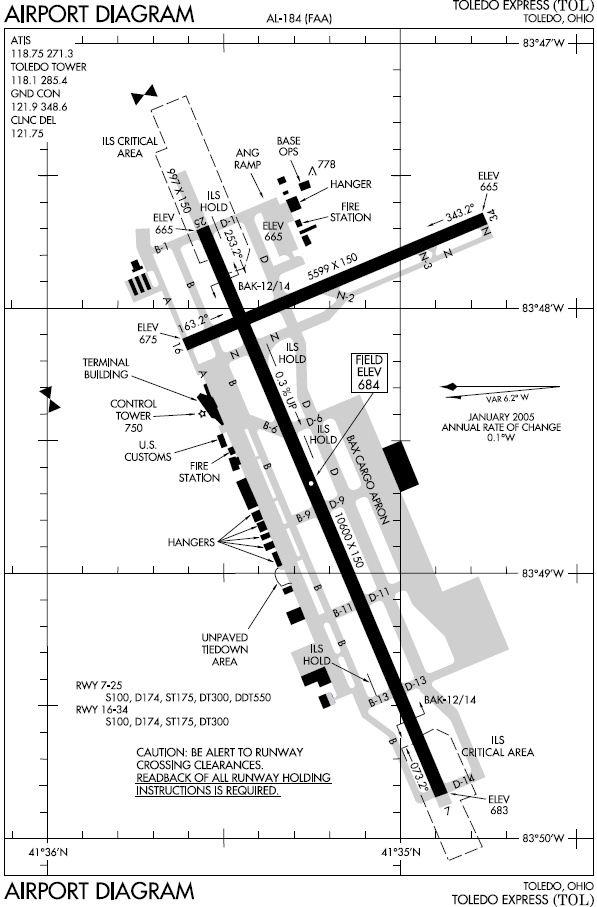
| FAA diagram of Toledo Express Airport |
| IATA: TOL – ICAO: KTOL – FAA LID: TOL |
| Summary |
| Airport type |
Public |
| Owner |
Toledo-Lucas County Port Authority |
| Serves |
Toledo, Ohio |
| Location |
Swanton / Monclova townships, Lucas County, Ohio, USA |
| Elevation AMSL |
684 ft / 208.5 m |
| Coordinates |
41°35′12.5″N 83°48′28.2″W / 41.586806°N 83.807833°W / 41.586806; -83.807833 |
| Website |
www.toledoexpress.com |
| Runways |
| Direction |
Length |
Surface |
| ft |
m |
| 7/25 |
10,600 |
3,231 |
Asphalt |
| 16/34 |
5,599 |
1,707 |
Asphalt |
Toledo Express Airport (IATA: TOL, ICAO: KTOL, FAA LID: TOL) is a passenger and cargo airport located 10 miles (16 km) west of the city of Toledo in the extreme Western portion of Lucas County, Ohio, United States, near the border with Fulton County, in the townships of Swanton and Monclova. It is also a base for the Ohio Air National Guard's 180th Fighter Wing. As well as being a main airport for Toledo, it is also a secondary airport for Detroit, Michigan, and serves as a regional hub for smaller communities and rural areas in northwest Ohio and southeast Michigan. The airport is operated by the Toledo-Lucas County Port Authority. Toledo Express served 250,876 passengers in 2008, its lowest level since 1964. This ranked TOL 171st in North America.
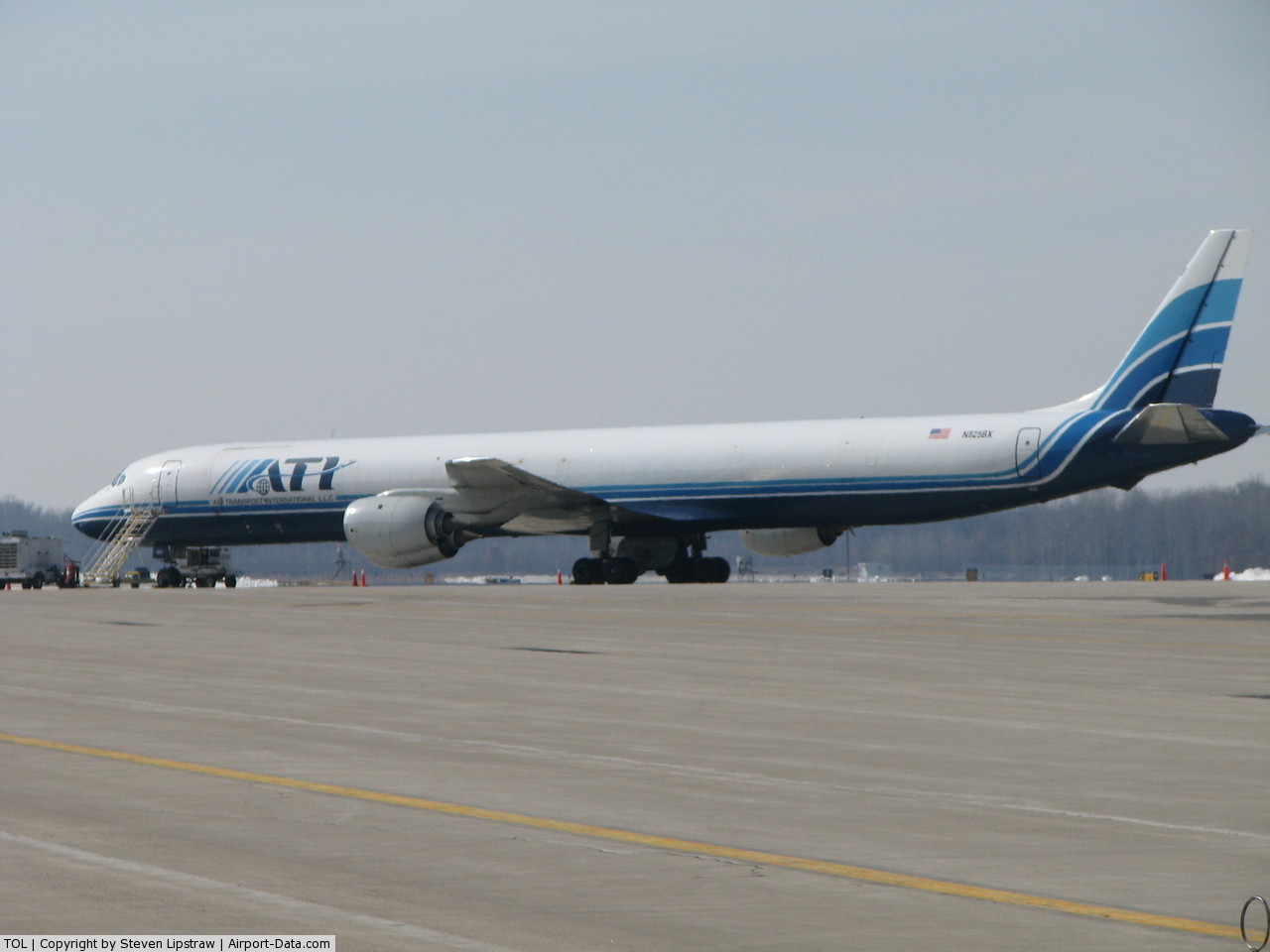
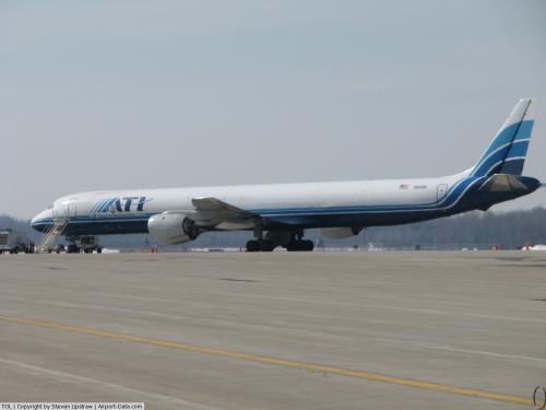
Toledo Express also serves as the main North American hub for DB Schenker, whom acquired BAX Global, an international air cargo company. DB Schenker leases a 300,000-square-foot (30,000 m) warehouse facility with direct access to the runways at Toledo Express. They operate approximately 20 flights per night from across the United States. Toledo Express was the 19th busiest cargo hub in North America in 2008 with 354,469 tons handled.
In 2007, TOL completed an expansion and renovation of the central gate area and promoted former Springfield, IL Airport Director Eric Frankl to the head position at KTOL.
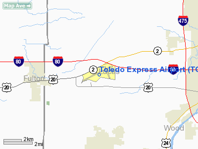
TOL is located on State Route 2 near the Ohio Turnpike. Exit 52 on the Turnpike connects the Turnpike with Route 2. Facilities
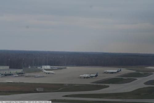
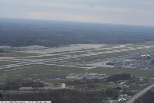
Toledo Express Airport covers 2,345 acres (949 ha) and has two runways:
- Runway 7/25: 10,600 x 150 ft (3,231 x 46 m), Surface: Asphalt
- Runway 16/34: 5,599 x 150 ft (1,707 x 46 m), Surface: Asphalt
Airlines and destinations
| Airlines |
Destinations |
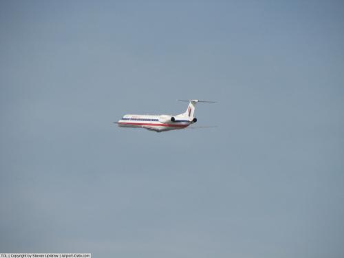
| Allegiant Air |
Orlando-Sanford, St. Petersburg/Clearwater |
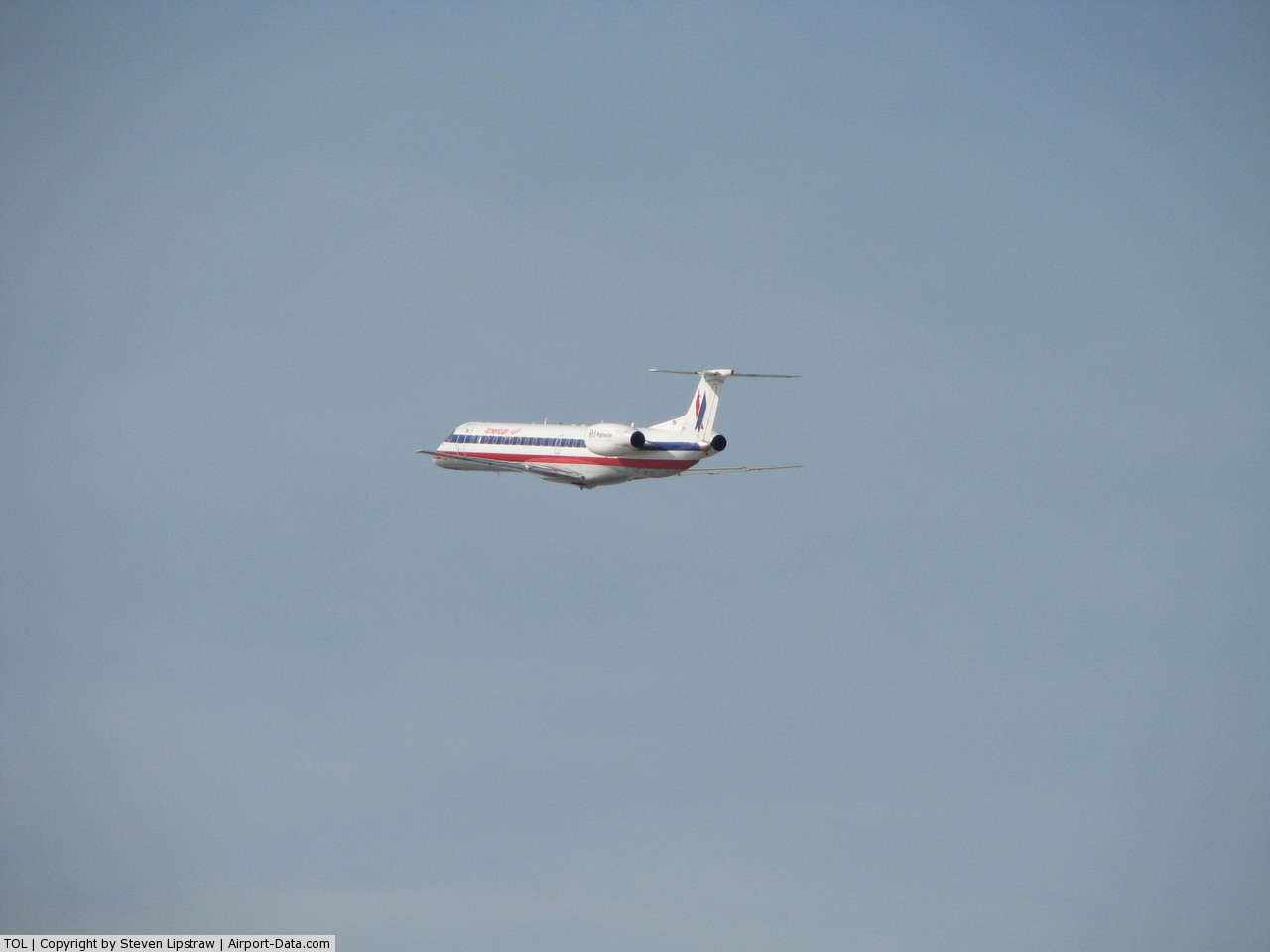
| American Eagle |
Chicago-O'Hare |
| Delta Connection operated by Mesaba Airlines |
Detroit [ends October 31] |
| Delta Connection operated by Pinnacle Airlines |
Minneapolis/St. Paul [begins November 1] |
| Direct Air |
Fort Myers/Punta Gorda [seasonal] |
Cargo
| Airlines |
Destinations |
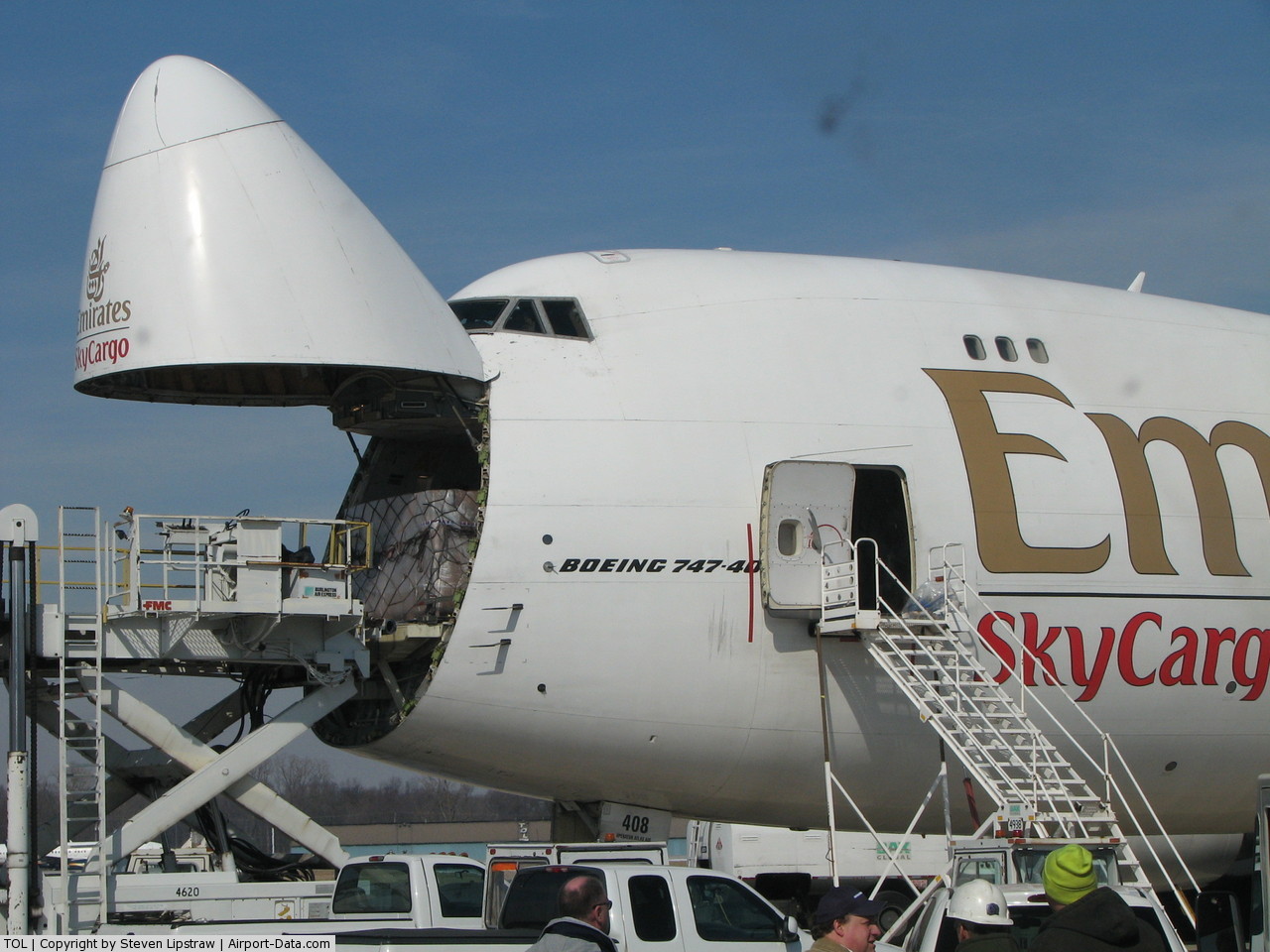
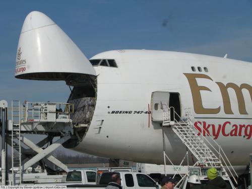
Emirates SkyCargo operated by Atlas Air
in cooperation with BAX Global |
Dubai, Frankfurt, Hong Kong (DXB-HKG-TOL sector techs at Anchorage, continuing as FRA-DXB) |
Qantas Freight operated by Atlas Air
in cooperation with BAX Global |
Sydney (via Honolulu) |
Shenker/BAX Global operated by Air Transport
and Capital Cargo |
(Non-stop to) Atlanta, Chicago-O'Hare, Rockford, Dallas/Fort Worth, Denver, Hamilton, Hartford, Houston, Los Angeles, Monterrey (Mexico), Philadelphia, Phoenix, Raleigh/Durham, Rochester, St. Louis, San Jose, Seattle-Boeing Field, Wilmington (as well as continuing service to several other cities) |
Military
The 180th Fighter Wing (180 FW), an Air Combat Command (ACC)-gained unit of the Ohio Air National Guard leases 135.4 acres (0.548 km) at the airport, housing combat-ready F-16C Fighting Falcon jet fighters and associated Air National Guard support units. There are 21 military aircraft based at TOL.
Corporate Usage
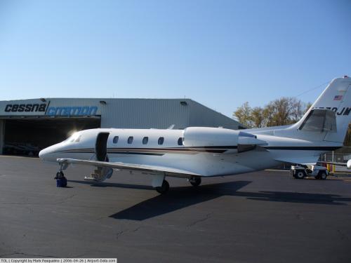
Toledo Express is used for several Toledo area companies as a base for their corporate aircraft. These companies include Owens-Illinois and Owens-Corning.
Education
FlightSafety International operates one of its training centers at TOL. The company provides training for fixed and rotary wing pilots, flight attendants, dispatchers, and maintenance technicians. FlightSafety serves both corporate (business aviation) and commercial customers.
Toledo Public Schools also operates a training center at the airport.
Other Users
Promedica Air houses its air ambulances at Toledo Express.
Aircraft Usage
There are 91 aircraft based at TOL. In addition to the 21 military aircraft based here, there are 22 single engine and 22 multi engine airplanes, and 26 jet airplanes.
For the 12 month period ending December 31, 2008, the airport averaged 149 operations per day. 35% were transient general aviation, 24% were air taxi, 18% were commercial, 14% were local general aviation, and 9% were military moves.
History
- On October 29, 1960 a chartered plane carrying the Cal Poly football team, hours after a loss to Bowling Green State University, crashed on takeoff at the Toledo Express Airport. Eighteen of the forty-eight people on board were killed, including sixteen players, the team's student manager, and a Cal Poly football booster.
- 1997 is the busiest year in Toledo Express' history. 679,841 fly out of KTOL. Much of the growth is attributed to Air Tran Airways offering low cost flights to Orlando, FL
- December 15, 2006 - Security heightened when Toledo Express Airport noted there was a bomb threat. A note that was found in the commuter aircraft simply put it as 'bomb' and that was enough for the airport to take the necessary precautions. They later learned there was no explosives on board of the aircraft.
- January 12, 2007 - A bomb threat was called to 911 on a cell phone that American Eagle Flight 4359 flying out of the Toledo Express Airport had a bomb on board. This caused Toledo officials to heighten security at the airport. The plane had pushed away from the terminal and was getting ready to take off for Chicago-O'Hare when the 911 call was made at around 10:30 a.m. The plane had 30 passengers and three crew members on board, and no injuries were reported. The plane had sat isolated on a runway for about an hour before the fire trucks and other vehicles approached. The FBI and city fire officials did not know whether the caller was the one making the threat. The FBI are continuing to determine who sent the call in, but they also determined later in the day that the bomb threat was a hoax. American Eagle is a regional service for American Airlines.
- January 16, 2007 - A second bomb threat within four days at the Toledo Express Airport had been declared another hoax. The bomb threat was sent through e-mail to the airport.
The above content comes from Wikipedia and is published under free licenses – click here to read more.
 |
(Click on the photo to enlarge) |
 |
(Click on the photo to enlarge) |
 |
(Click on the photo to enlarge) |
 |
(Click on the photo to enlarge) |
 |
(Click on the photo to enlarge) |
 |
(Click on the photo to enlarge) |
 |
(Click on the photo to enlarge) |
 |
(Click on the photo to enlarge) |
 |
(Click on the photo to enlarge) |
Location & QuickFacts
| FAA Information Effective: | 2008-09-25 |
| Airport Identifier: | TOL |
| Airport Status: | Operational |
| Longitude/Latitude: | 083-48-28.2000W/41-35-12.5000N
-83.807833/41.586806 (Estimated) |
| Elevation: | 684 ft / 208.48 m (Surveyed) |
| Land: | 2345 acres |
| From nearest city: | 10 nautical miles W of Toledo, OH |
| Location: | Lucas County, OH |
| Magnetic Variation: | 05W (1990) |
Owner & Manager
| Ownership: | Publicly owned |
| Owner: | Toledo - Lucas Co. Port Auth. |
| Address: | 11013 Airport Hwy
Swanton, OH 43558 |
| Phone number: | 419-865-2351 |
| Manager: | Eric Frankl |
| Address: | 11013 Airport Hwy
Swanton, OH 43558 |
| Phone number: | 419-865-2351 |
Airport Operations and Facilities
| Airport Use: | Open to public |
| Wind indicator: | Yes |
| Segmented Circle: | No |
| Control Tower: | Yes |
| Lighting Schedule: | DUSK-DAWN |
| Beacon Color: | Clear-Green (lighted land airport) |
| Landing fee charge: | Yes |
| Sectional chart: | Detroit |
| Region: | AGL - Great Lakes |
| Boundary ARTCC: | ZOB - Cleveland |
| Tie-in FSS: | CLE - Cleveland |
| FSS on Airport: | No |
| FSS Toll Free: | 1-800-WX-BRIEF |
| NOTAMs Facility: | TOL (NOTAM-d service avaliable) |
| Certification type/date: | I B S 05/1973 |
| Federal Agreements: | NGXY |
Airport Communications
Airport Services
| Fuel available: | 100LLA |
| Airframe Repair: | MAJOR |
| Power Plant Repair: | MAJOR |
| Bottled Oxygen: | HIGH |
| Bulk Oxygen: | NONE |
Runway Information
Runway 07/25
| Dimension: | 10600 x 150 ft / 3230.9 x 45.7 m |
| Surface: | ASPH, Good Condition |
| Surface Treatment: | Saw-cut or plastic Grooved |
| Weight Limit: | Single wheel: 100000 lbs.
Dual wheel: 174000 lbs.
Dual tandem wheel: 300000 lbs.
Dual dual tandem wheel: 550000 lbs. |
| Edge Lights: | High |
| |
Runway 07 |
Runway 25 |
| Longitude: | 083-49-50.5347W | 083-47-41.9656W |
| Latitude: | 41-34-52.9926N | 41-35-33.6225N |
| Elevation: | 682.00 ft | 665.00 ft |
| Alignment: | 67 | 127 |
| ILS Type: | ILS
| ILS
|
| Traffic Pattern: | Left | Left |
| Markings: | Precision instrument, Good Condition | Precision instrument, Good Condition |
| Arresting: | BAK12 | BAK12 |
| Crossing Height: | 0.00 ft | 51.00 ft |
| VASI: | | 4-box on left side |
| Visual Glide Angle: | 0.00° | 3.00° |
| RVR Equipment: | touchdown | |
| Approach lights: | ALSF2 | MALSR |
| Runway End Identifier: | No | No |
| Centerline Lights: | Yes | Yes |
| Touchdown Lights: | Yes | No |
| Obstruction: | 91 ft trees, 4400.0 ft from runway, 1000 ft right of centerline, 46:1 slope to clear | 75 ft trees, 2600.0 ft from runway, 760 ft left of centerline, 32:1 slope to clear |
|
Runway 16/34
| Dimension: | 5599 x 150 ft / 1706.6 x 45.7 m |
| Surface: | ASPH, Fair Condition |
| Surface Treatment: | Saw-cut or plastic Grooved |
| Weight Limit: | Single wheel: 100000 lbs.
Dual wheel: 174000 lbs.
Dual tandem wheel: 300000 lbs. |
| Edge Lights: | Medium |
| |
Runway 16 |
Runway 34 |
| Longitude: | 083-48-08.2451W | 083-47-39.6753W |
| Latitude: | 41-35-36.5689N | 41-34-45.5842N |
| Elevation: | 674.00 ft | 665.00 ft |
| Alignment: | 127 | 127 |
| Traffic Pattern: | Left | Left |
| Markings: | Non-precision instrument, Fair Condition | Non-precision instrument, Fair Condition |
| Crossing Height: | 48.00 ft | 0.00 ft |
| VASI: | 4-light PAPI on left side | |
| Visual Glide Angle: | 3.00° | 0.00° |
| Runway End Identifier: | Yes | Yes |
| Centerline Lights: | No | No |
| Touchdown Lights: | No | No |
| Obstruction: | 95 ft trees, 2740.0 ft from runway, 40 ft right of centerline, 26:1 slope to clear | , 50:1 slope to clear |
|
Radio Navigation Aids
| ID |
Type |
Name |
Ch |
Freq |
Var |
Dist |
| USE | NDB | Fulton | | 375.00 | 05W | 14.7 nm |
| ADG | NDB | Adrian | | 278.00 | 06W | 20.9 nm |
| TCU | NDB | Tecumseh | | 239.00 | 04W | 27.2 nm |
| FZI | NDB | Fostoria | | 379.00 | 05W | 30.3 nm |
| BYN | NDB | Bryan | | 260.00 | 04W | 30.3 nm |
| DFI | NDB | Defiance | | 246.00 | 05W | 31.7 nm |
| PDR | NDB | Ottawa | | 233.00 | 05W | 34.2 nm |
| BNR | NDB | Benton Ridge | | 334.00 | 05W | 34.6 nm |
| TII | NDB | Tiffin | | 269.00 | 05W | 40.0 nm |
| PCW | NDB | Port Clinton | | 423.00 | 06W | 42.4 nm |
| RYS | NDB | Grosse Ile | | 419.00 | 06W | 42.6 nm |
| TOL | TACAN | Toledo | 072X | | 05W | 0.6 nm |
| MAH | VOR | Marathon | | 114.90 | 05W | 35.0 nm |
| VWV | VOR/DME | Waterville | 078X | 113.10 | 02W | 11.1 nm |
| DXO | VOR/DME | Detroit | 081X | 113.40 | 06W | 42.5 nm |
| JXN | VOR/DME | Jackson | 033X | 109.60 | 05W | 49.8 nm |
| CRL | VORTAC | Carleton | 104X | 115.70 | 03W | 31.9 nm |
| FDY | VORTAC | Findlay | 019X | 108.20 | 02W | 38.0 nm |
| YIP | VOT | Willow Run | | 112.00 | | 41.0 nm |
| DTW | VOT | Detroit Met Wayne | | 109.80 | | 43.3 nm |
Remarks
- CUSTOMS: SAT-SUN REQUEST MUST BE MADE PRIOR TO 1700 ON FRI. PHONE 419-259-6424.
- A-GEAR BAK12(B)/14 1500 FT AER 7; BAK12(B)/14 1050 FT AER 25.
- BIRDS & DEER ON & INVOF ARPT.
- TWY 'A' W OF RY 16 & THE W RAMP BTN TWY 'B9' & 'B13' NOT VSBL FM ATCT.
Images and information placed above are from
http://www.airport-data.com/airport/TOL/
We thank them for the data!
| General Info
|
| Country |
United States
|
| State |
OHIO
|
| FAA ID |
TOL
|
| Latitude |
41-35-12.500N
|
| Longitude |
083-48-28.200W
|
| Elevation |
684 feet
|
| Near City |
TOLEDO
|
We don't guarantee the information is fresh and accurate. The data may
be wrong or outdated.
For more up-to-date information please refer to other sources.
|
|