 |
|
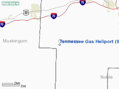
Location & QuickFacts
| FAA Information Effective: | 2008-09-25 |
| Airport Identifier: | 07OH |
| Airport Status: | Operational |
| Longitude/Latitude: | 081-41-00.4570W/39-56-14.2610N
-81.683460/39.937295 (Estimated) |
| Elevation: | 1025 ft / 312.42 m (Estimated) |
| Land: | 0 acres |
| From nearest city: | 1 nautical miles W of Claysville, OH |
| Location: | Guernsey County, OH |
| Magnetic Variation: | 06W (1990) |
Owner & Manager
| Ownership: | Privately owned |
| Owner: | Tennessee Gas Pipeline Co |
| Address: | 3428 Clay Pike Rd
Cumberland, OH 43732 |
| Phone number: | 614-638-2101 |
| Manager: | Scott Faulkner |
| Address: | 3428 Clay Pike Rd
Cumberland, OH 43732 |
| Phone number: | 614-638-2101 |
Airport Operations and Facilities
| Airport Use: | Private |
| Segmented Circle: | No |
| Control Tower: | No |
| Sectional chart: | Detroit |
| Region: | AGL - Great Lakes |
| Boundary ARTCC: | ZID - Indianapolis |
| Tie-in FSS: | CLE - Cleveland |
| FSS on Airport: | No |
| FSS Toll Free: | 1-800-WX-BRIEF |
Runway Information
Helipad H1
| Dimension: | 30 x 30 ft / 9.1 x 9.1 m |
| Surface: | CONC, |
| |
Runway H1 |
Runway |
| Traffic Pattern: | Left | Left |
|
Radio Navigation Aids
| ID |
Type |
Name |
Ch |
Freq |
Var |
Dist |
| PKB | FAN MARKER | Marietta Ohio | | | 03W | 35.4 nm |
| HRA | NDB | Zanesville | | 204.00 | 06W | 11.0 nm |
| CFX | NDB | Cadiz | | 239.00 | 07W | 35.7 nm |
| HEH | NDB | Newark | | 524.00 | 06W | 36.3 nm |
| MLR | NDB | Millersburg/dcmsnd | | 382.00 | 06W | 37.4 nm |
| UGS | NDB | University | | 250.00 | 06W | 45.7 nm |
| TSO | NDB | Tolson | | 395.00 | 07W | 46.7 nm |
| CM | NDB | Sumie | | 391.00 | 05W | 49.4 nm |
| ZZV | VOR/DME | Zanesville | 051X | 111.40 | 06W | 9.6 nm |
| CTW | VOR/DME | Newcomerstown | 055X | 111.80 | 07W | 20.0 nm |
| TVT | VOR/DME | Tiverton | 112X | 116.50 | 03W | 37.3 nm |
| AIR | VOR/DME | Bellaire | 118X | 117.10 | 07W | 40.2 nm |
| BSV | VOR/DME | Briggs | 071X | 112.40 | 04W | 49.6 nm |
| JPU | VORTAC | Parkersburg | 023X | 108.60 | 03W | 33.1 nm |
| APE | VORTAC | Appleton | 114X | 116.70 | 06W | 43.6 nm |
Remarks
- PRVDD APCH/DEP RTE OPERS FRO 180 DEG TO 305 DEG; TKOF/LNDG AREA MARKED; & WIND INDICATOR MAINTD.
Images and information placed above are from
http://www.airport-data.com/airport/07OH/
We thank them for the data!
| General Info
|
| Country |
United States
|
| State |
OHIO
|
| FAA ID |
07OH
|
| Latitude |
39-56-14.261N
|
| Longitude |
081-41-00.457W
|
| Elevation |
1025 feet
|
| Near City |
CLAYSVILLE
|
We don't guarantee the information is fresh and accurate. The data may
be wrong or outdated.
For more up-to-date information please refer to other sources.
|
|


