 |
|
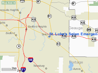
St. Luke's Solon Emergency Center Heliport |
Location & QuickFacts
| FAA Information Effective: | 2008-09-25 |
| Airport Identifier: | OI98 |
| Airport Status: | Operational |
| Longitude/Latitude: | 081-26-42.4140W/41-23-24.1950N
-81.445115/41.390054 (Estimated) |
| Elevation: | 745 ft / 227.08 m (Estimated) |
| Land: | 0 acres |
| From nearest city: | 0 nautical miles N of Solon, OH |
| Location: | Cuyahoga County, OH |
| Magnetic Variation: | 07W (1990) |
Owner & Manager
| Ownership: | Privately owned |
| Owner: | St. Luke's Medical Center |
| Address: | 33001 Solon Rd
Solon, OH 44139 |
| Phone number: | 216-349-2285 |
| Manager: | Jan Barnes |
| Address: | 33001 Solon Rd
Solon, OH 44139 |
| Phone number: | 216-349-2285 |
Airport Operations and Facilities
| Airport Use: | Private
MEDICAL USE. |
| Wind indicator: | Yes |
| Segmented Circle: | No |
| Control Tower: | No |
| Sectional chart: | Detroit |
| Region: | AGL - Great Lakes |
| Boundary ARTCC: | ZOB - Cleveland |
| Tie-in FSS: | CLE - Cleveland |
| FSS Toll Free: | 1-800-WX-BRIEF |
Runway Information
Helipad H1
| Dimension: | 100 x 100 ft / 30.5 x 30.5 m |
| Surface: | CONC, |
| |
Runway H1 |
Runway |
| Traffic Pattern: | Left | Left |
|
Radio Navigation Aids
| ID |
Type |
Name |
Ch |
Freq |
Var |
Dist |
| BKL | NDB | Burke Lakefront | | 416.00 | 07W | 12.9 nm |
| EZE | NDB | Engel | | 226.00 | 07W | 13.9 nm |
| LQL | NDB | Lakeland | | 263.00 | 08W | 17.8 nm |
| AK | NDB | Akron | | 362.00 | 07W | 19.4 nm |
| CL | NDB | Harri | | 344.00 | 07W | 23.6 nm |
| HBD | NDB | Hubbard | | 408.00 | 08W | 43.7 nm |
| AAU | NDB | Ashland | | 329.00 | 07W | 44.7 nm |
| CXR | VOR/DME | Chardon | 074X | 112.70 | 05W | 14.8 nm |
| LNN | VOR/DME | Lost Nation | 039X | 110.20 | 08W | 17.9 nm |
| ACO | VOR/DME | Akron | 091X | 114.40 | 04W | 20.2 nm |
| DJB | VOR/DME | Dryer | 083X | 113.60 | 05W | 32.4 nm |
| JFN | VOR/DME | Jefferson | 099X | 115.20 | 05W | 38.4 nm |
| BSV | VOR/DME | Briggs | 071X | 112.40 | 04W | 39.0 nm |
| YNG | VORTAC | Youngstown | 027X | 109.00 | 05W | 34.9 nm |
| CLE | VOT | Cleveland | | 110.40 | | 18.2 nm |
| CAK | VOT | Akron/canton Regional | | 110.60 | | 28.5 nm |
Remarks
- OPRS ARE COND FM 40 TO 80 DEG; FM 110 TO 130 & FM 240 TO 270; AREA IS MKD; WIND IND IS MAINTAINED; COMPLIANCE WITH FAR PART 91.
Images and information placed above are from
http://www.airport-data.com/airport/OI98/
We thank them for the data!
| General Info
|
| Country |
United States
|
| State |
OHIO
|
| FAA ID |
OI98
|
| Latitude |
41-23-24.195N
|
| Longitude |
081-26-42.414W
|
| Elevation |
745 feet
|
| Near City |
SOLON
|
We don't guarantee the information is fresh and accurate. The data may
be wrong or outdated.
For more up-to-date information please refer to other sources.
|
|


