|
|
 |
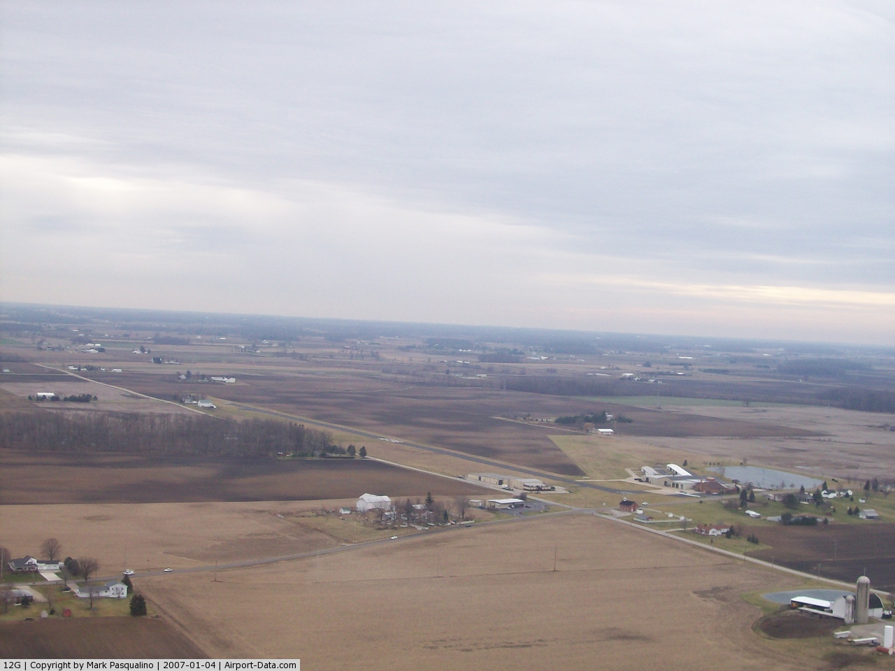
(Click on the photo to enlarge) |
Location & QuickFacts
| FAA Information Effective: | 2008-09-25 |
| Airport Identifier: | 12G |
| Airport Status: | Operational |
| Longitude/Latitude: | 082-41-50.6000W/40-52-22.3000N
-82.697389/40.872861 (Estimated) |
| Elevation: | 1120 ft / 341.38 m (Surveyed) |
| Land: | 50 acres |
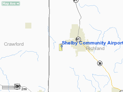
| From nearest city: | 2 nautical miles W of Shelby, OH |
| Location: | Richland County, OH |
| Magnetic Variation: | 06W (1985) |
Owner & Manager
| Ownership: | Privately owned |
| Owner: | Shelby Airport Llc |
| Address: | Po Box 29
Shelby, OH 44875 |
| Phone number: | 419-347-1185 |
| Manager: | Dave Wagner |
| Address: | Po Box 29
Shelby, OH 44875 |
| Phone number: | 419-564-1005
AMGR HOME PHONE 419-347-8543 |
Airport Operations and Facilities
| Airport Use: | Open to public |
| Wind indicator: | Yes |
| Segmented Circle: | No |
| Control Tower: | No |
| Lighting Schedule: | DUSK-DAWN |
| Beacon Color: | Clear-Green (lighted land airport) |
| Landing fee charge: | No |
| Sectional chart: | Detroit |
| Region: | AGL - Great Lakes |
| Boundary ARTCC: | ZOB - Cleveland |
| Tie-in FSS: | CLE - Cleveland |
| FSS on Airport: | No |
| FSS Toll Free: | 1-800-WX-BRIEF |
| NOTAMs Facility: | CLE (NOTAM-d service avaliable) |
Airport Communications
| CTAF: | 122.800 |
| Unicom: | 122.800 |
Airport Services
Runway Information
Runway 03/21
| Dimension: | 1890 x 125 ft / 576.1 x 38.1 m |
| Surface: | TURF, Good Condition |
| |
Runway 03 |
Runway 21 |
| Longitude: | 082-41-59.2996W | 082-41-48.8553W |
| Latitude: | 40-52-19.7843N | 40-52-36.6936N |
| Elevation: | 1120.00 ft | 1118.00 ft |
| Alignment: | 25 | 127 |
| Traffic Pattern: | Left | Left |
| Markings: | None, | None, |
| Runway End Identifier: | No | No |
| Centerline Lights: | No | No |
| Touchdown Lights: | No | No |
| Obstruction: | 45 ft tree, 70.0 ft from runway, 133 ft left of centerline, 1:1 slope to clear | 15 ft road, 172.0 ft from runway, 143 ft right of centerline, 11:1 slope to clear |
|
Runway 18/36
| Dimension: | 3174 x 50 ft / 967.4 x 15.2 m |
| Surface: | ASPH, Fair Condition |
| Weight Limit: | Single wheel: 5000 lbs. |
| Edge Lights: | Non-standard lighting system
NSTD LIRL; RY 18 THLD LGTS 220 FT FM RY END. |
| |
Runway 18 |
Runway 36 |
| Longitude: | 082-41-48.8020W | 082-41-48.1906W |
| Latitude: | 40-52-34.3915N | 40-52-03.0360N |
| Elevation: | 1118.00 ft | 1119.00 ft |
| Alignment: | 127 | 127 |
| Traffic Pattern: | Left | Left |
| Markings: | Basic, Fair Condition | Basic, Fair Condition |
| Runway End Identifier: | No | No |
| Centerline Lights: | No | No |
| Touchdown Lights: | No | No |
| Obstruction: | 15 ft road, 201.0 ft from runway, 95 ft left of centerline
ROAD 165'FM RWY END 125'R. | 94 ft pline, 1882.0 ft from runway, 289 ft left of centerline, 17:1 slope to clear
RY 36 +0 TO 10 FT SEASONAL CROPS 0 FT FM 75 FT L/R. |
|
Radio Navigation Aids
| ID |
Type |
Name |
Ch |
Freq |
Var |
Dist |
| MF | NDB | Manns | | 372.00 | 06W | 13.2 nm |
| AAU | NDB | Ashland | | 329.00 | 07W | 20.9 nm |
| MNN | NDB | Marion | | 201.00 | 05W | 22.9 nm |
| TII | NDB | Tiffin | | 269.00 | 05W | 26.8 nm |
| FZI | NDB | Fostoria | | 379.00 | 05W | 36.9 nm |
| PCW | NDB | Port Clinton | | 423.00 | 06W | 39.6 nm |
| DLZ | NDB | Delaware | | 215.00 | 06W | 40.3 nm |
| MLR | NDB | Millersburg/dcmsnd | | 382.00 | 06W | 42.5 nm |
| CL | NDB | Harri | | 344.00 | 07W | 43.4 nm |
| BNR | NDB | Benton Ridge | | 334.00 | 05W | 45.0 nm |
| MRT | NDB | Marysville | | 403.00 | 05W | 48.9 nm |
| BUD | VOR | Buckeye | | 109.80 | 05W | 22.7 nm |
| MAH | VOR | Marathon | | 114.90 | 05W | 44.7 nm |
| SKY | VOR/DME | Sandusky | 029X | 109.20 | 04W | 33.8 nm |
| TVT | VOR/DME | Tiverton | 112X | 116.50 | 03W | 36.0 nm |
| DJB | VOR/DME | Dryer | 083X | 113.60 | 05W | 37.9 nm |
| MFD | VORTAC | Mansfield | 025X | 108.80 | 03W | 4.8 nm |
| APE | VORTAC | Appleton | 114X | 116.70 | 06W | 43.7 nm |
| FDY | VORTAC | Findlay | 019X | 108.20 | 02W | 48.3 nm |
Remarks
Images and information placed above are from
http://www.airport-data.com/airport/12G/
We thank them for the data!
| General Info
|
| Country |
United States
|
| State |
OHIO
|
| FAA ID |
12G
|
| Latitude |
40-52-22.300N
|
| Longitude |
082-41-50.600W
|
| Elevation |
1120 feet
|
| Near City |
SHELBY
|
We don't guarantee the information is fresh and accurate. The data may
be wrong or outdated.
For more up-to-date information please refer to other sources.
|
|