|
|
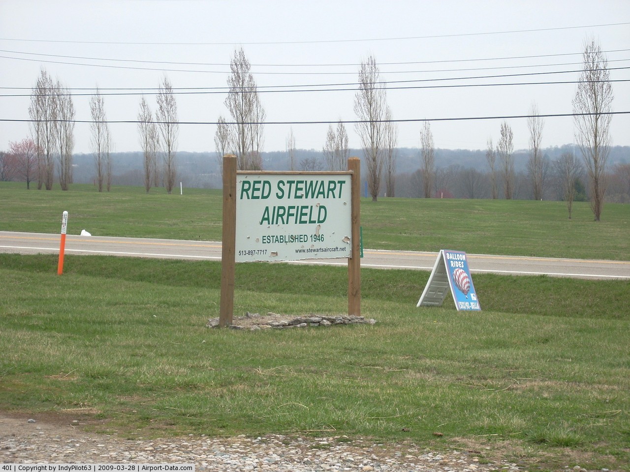
Red Stewart Airfield Airport |
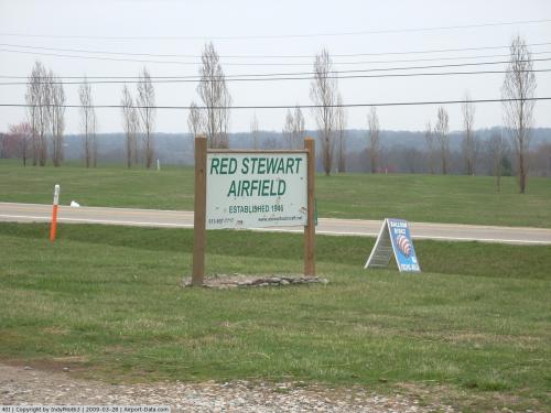 |
(Click on the photo to enlarge) |
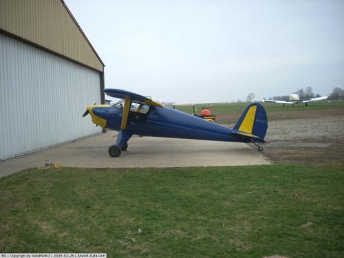 |
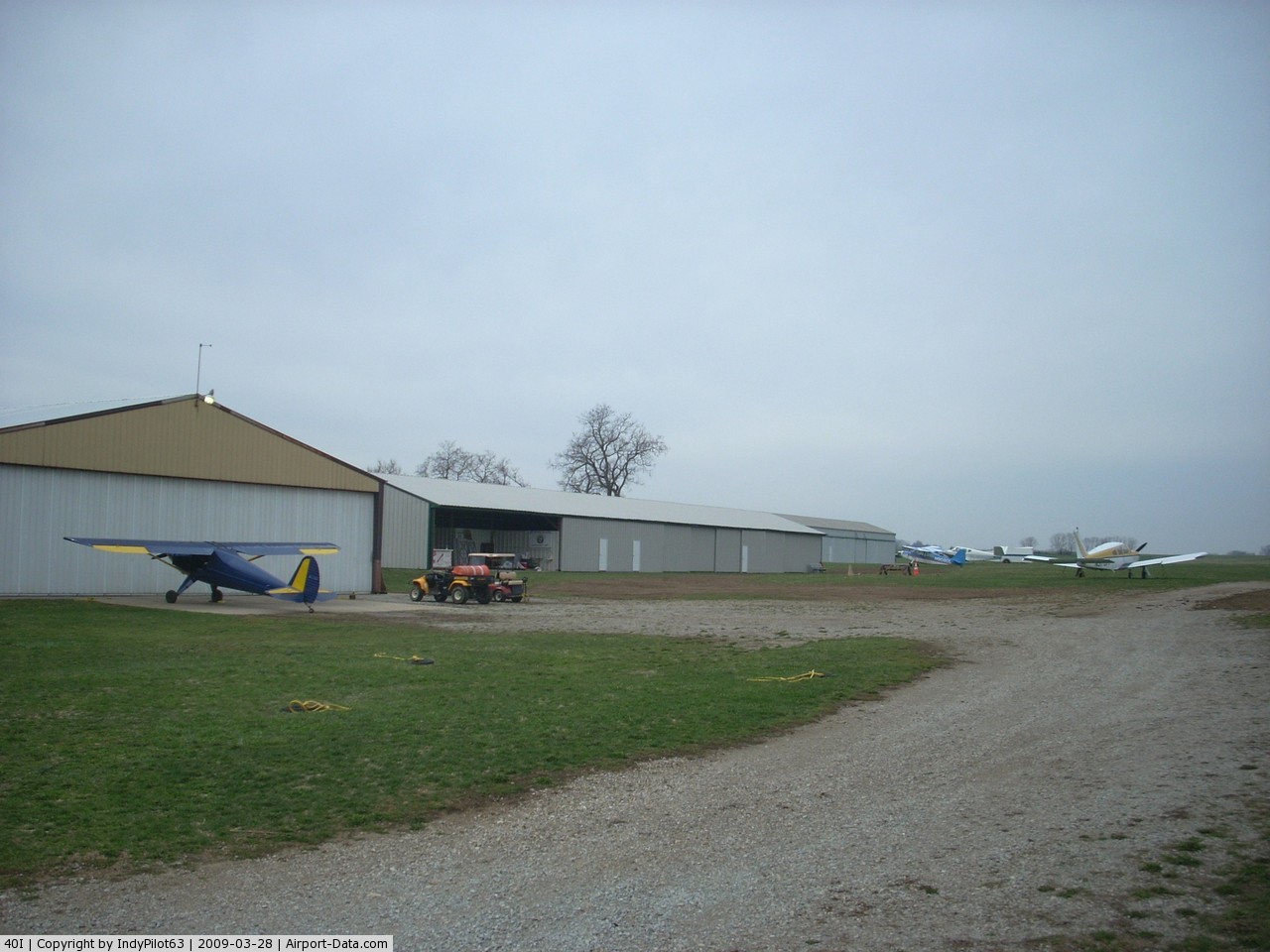
(Click on the photo to enlarge) |
 |
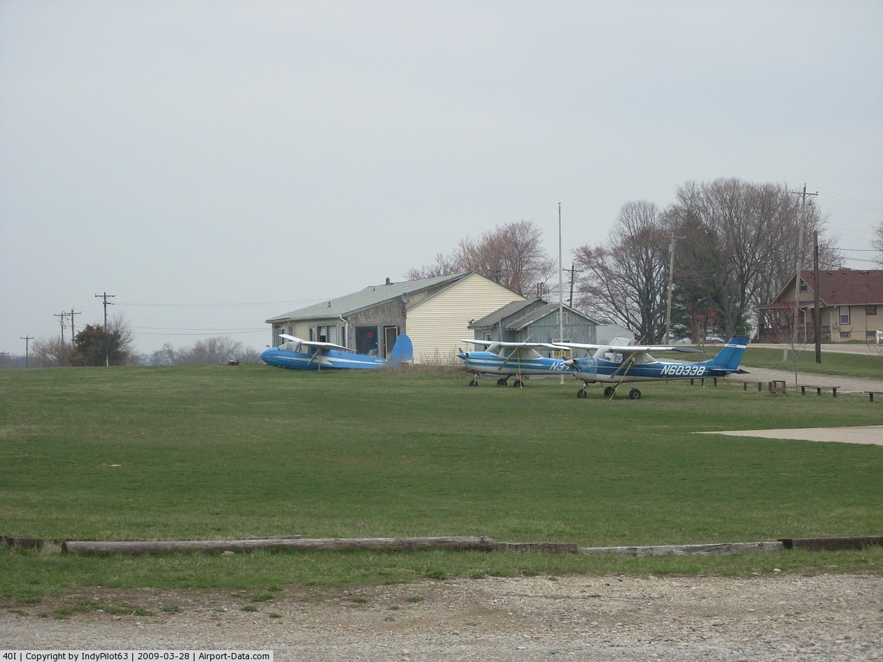
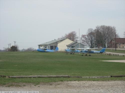
(Click on the photo to enlarge) |
 |
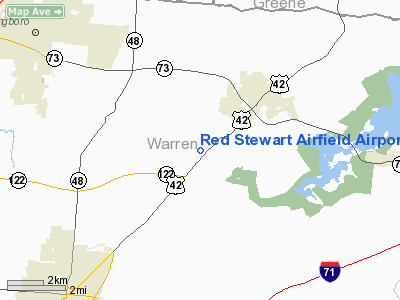
(Click on the photo to enlarge) |
Location & QuickFacts
| FAA Information Effective: | 2008-09-25 |
| Airport Identifier: | 40I |
| Airport Status: | Operational |
| Longitude/Latitude: | 084-07-18.7650W/39-30-19.2160N
-84.121879/39.505338 (Estimated) |
| Elevation: | 955 ft / 291.08 m (Estimated) |
| Land: | 40 acres |
| From nearest city: | 2 nautical miles SW of Waynesville, OH |
| Location: | Warren County, OH |
| Magnetic Variation: | 04W (1985) |
Owner & Manager
| Ownership: | Privately owned |
| Owner: | Emerson C Stewart Jr |
| Address: | 4925 Us 42
Waynesville, OH 45068 |
| Phone number: | 513-897-7717 |
| Manager: | Emerson C Stewart Jr |
| Address: | 4925 Us 42
Waynesville, OH 45068 |
| Phone number: | 513-897-7717 |
Airport Operations and Facilities
| Airport Use: | Open to public |
| Wind indicator: | Yes |
| Segmented Circle: | No |
| Control Tower: | No |
| Landing fee charge: | No |
| Sectional chart: | Cincinnati |
| Region: | AGL - Great Lakes |
| Boundary ARTCC: | ZID - Indianapolis |
| Tie-in FSS: | DAY - Dayton |
| FSS on Airport: | No |
| FSS Toll Free: | 1-800-WX-BRIEF |
| NOTAMs Facility: | DAY (NOTAM-d service avaliable) |
Airport Communications
Airport Services
| Fuel available: | 100LL |
| Airframe Repair: | MAJOR |
| Power Plant Repair: | MAJOR |
Runway Information
Runway 08/26
| Dimension: | 3142 x 150 ft / 957.7 x 45.7 m |
| Surface: | TURF, Fair Condition |
| |
Runway 08 |
Runway 26 |
| Traffic Pattern: | Left | Left |
| Displaced threshold: | 0.00 ft | 540.00 ft |
| Runway End Identifier: | No | No |
| Centerline Lights: | No | No |
| Touchdown Lights: | No | No |
| Obstruction: | 41 ft trees, 860.0 ft from runway, 192 ft left of centerline, 20:1 slope to clear | 15 ft bldg, 0.0 ft from runway, 97 ft left of centerline
APCH RATIO 14:1 TO DSPLCD THLD DUE TO +43 FT PLINE 640 FT FR DSPLCD THLD. |
|
Radio Navigation Aids
| ID |
Type |
Name |
Ch |
Freq |
Var |
Dist |
| HW | NDB | Cubla | | 299.00 | 04W | 14.6 nm |
| HKF | NDB | Hook Field | | 239.00 | 04W | 15.1 nm |
| XEN | NDB | Xenia | | 395.00 | 03W | 15.4 nm |
| IL | NDB | Airbo | | 407.00 | 04W | 17.9 nm |
| ISZ | NDB | Cincinnati-blue Ash | | 388.00 | 04W | 19.8 nm |
| MDE | NDB | Madeira | | 379.00 | 04W | 20.2 nm |
| HAO | NDB | Hamilton | | 260.00 | 04W | 22.4 nm |
| LUK | NDB | Cincinnati | | 335.00 | 04W | 23.1 nm |
| PWF | NDB | Sportys | | 245.00 | 04W | 26.1 nm |
| CCJ | NDB | Clark County | | 341.00 | 04W | 27.2 nm |
| OXD | NDB | Oxford | | 282.00 | 04W | 30.6 nm |
| HOC | NDB | Hillsboro | | 278.00 | 05W | 33.1 nm |
| CSS | NDB | Court House | | 414.00 | 05W | 34.3 nm |
| UYF | NDB | London | | 263.00 | 06W | 39.8 nm |
| UR | NDB | Burln | | 321.00 | 04W | 41.0 nm |
| VES | NDB | Versailles | | 356.00 | 04W | 46.0 nm |
| BU | NDB | Boutn | | 230.00 | 05W | 46.4 nm |
| AMT | NDB | West Union | | 359.00 | 04W | 46.9 nm |
| FFO | TACAN | Patterson | 099X | | 04W | 19.1 nm |
| XSF | TACAN | Springfield | 065X | | 04W | 23.9 nm |
| MXQ | VOR/DME | Midwest | 076X | 112.90 | 04W | 15.6 nm |
| SGH | VOR/DME | Springfield | 079X | 113.20 | 04W | 23.7 nm |
| DQN | VOR/DME | Dayton | 092X | 114.50 | 01W | 33.2 nm |
| RID | VORTAC | Richmond | 043X | 110.60 | 03W | 36.4 nm |
| CVG | VORTAC | Cincinnati | 120X | 117.30 | 04W | 40.0 nm |
| ROD | VORTAC | Rosewood | 122X | 117.50 | 05W | 47.2 nm |
| DAY | VOT | Dayton J M Cox-day | | 111.00 | | 24.3 nm |
| LUK | VOT | Cincinnati Muni/lunken | | 108.40 | | 26.7 nm |
Remarks
- RYS & APRONS FAIR ROLLING TURF; SOD N & S OF RY USED AS TWY.
- TSNT TFC 1 JAN-15 APRIL NOTIFICATION REQUIRED FOR RY COND PRIOR TO ARRIVAL 513-897-7717.
- BANNER TOWING AND GLIDERS ON & INVOF ARPT.
- GLIDER OPERATIONS ON NORTH TAXIWAY.
- VFR OPERATIONS ONLY
Images and information placed above are from
http://www.airport-data.com/airport/40I/
We thank them for the data!
| General Info
|
| Country |
United States
|
| State |
OHIO
|
| FAA ID |
40I
|
| Latitude |
39-30-19.216N
|
| Longitude |
084-07-18.765W
|
| Elevation |
955 feet
|
| Near City |
WAYNESVILLE
|
We don't guarantee the information is fresh and accurate. The data may
be wrong or outdated.
For more up-to-date information please refer to other sources.
|
|