|
|
 |
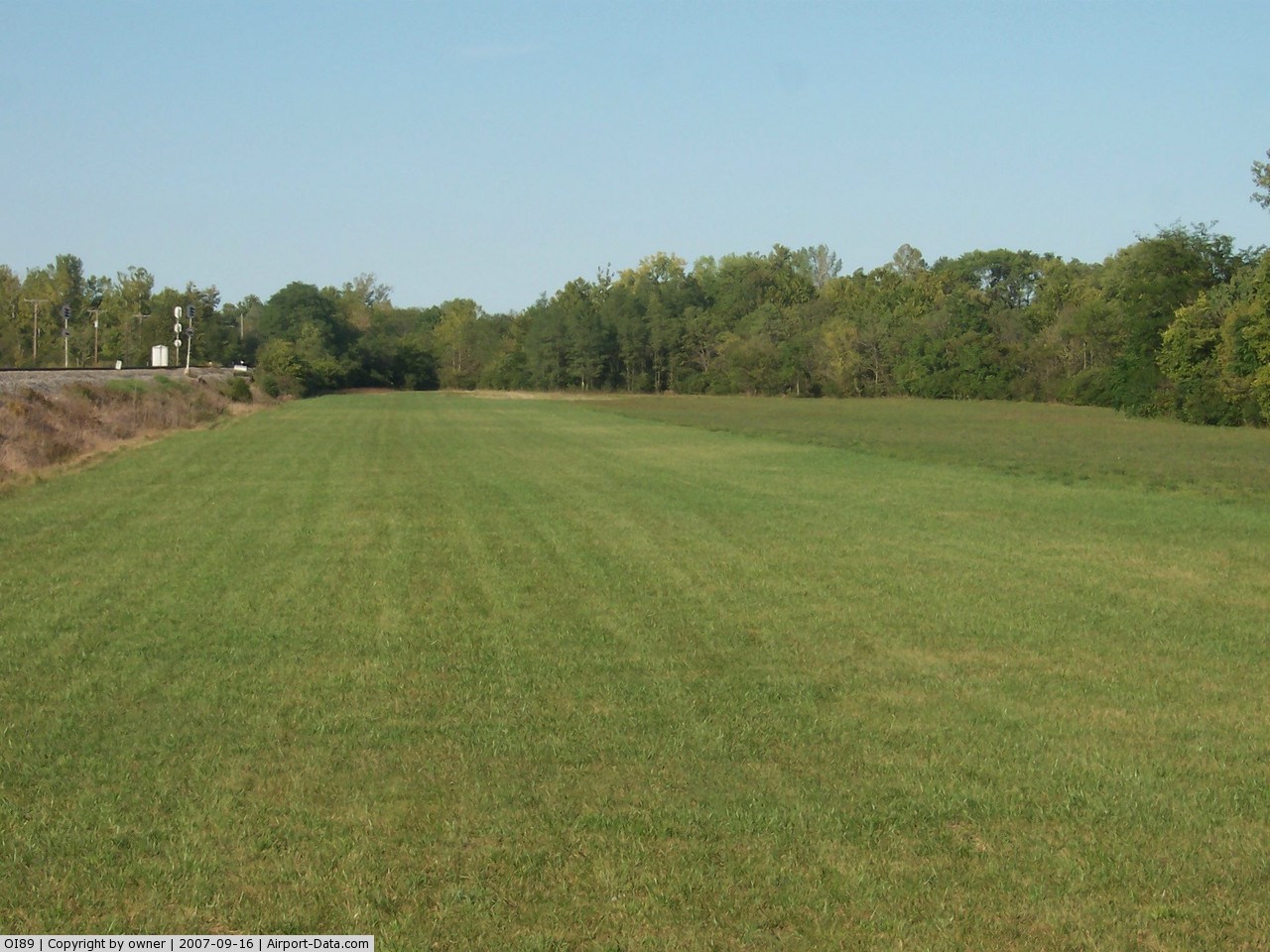
(Click on the photo to enlarge) |
 |
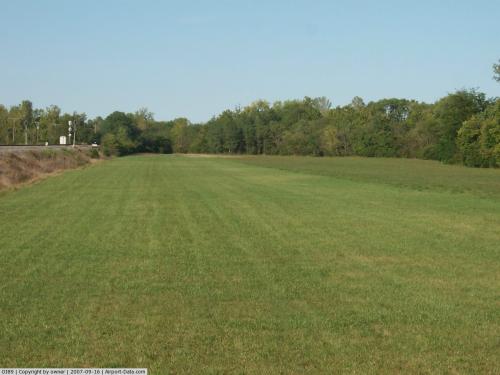
(Click on the photo to enlarge) |
Location & QuickFacts
| FAA Information Effective: | 2008-09-25 |
| Airport Identifier: | OI89 |
| Airport Status: | Operational |
| Longitude/Latitude: | 084-37-47.8260W/39-38-58.1900N
-84.629952/39.649497 (Estimated) |
| Elevation: | 866 ft / 263.96 m (Estimated) |
| Land: | 5 acres |
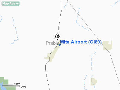
| From nearest city: | 2 nautical miles NE of Camden, OH |
| Location: | Preble County, OH |
| Magnetic Variation: | 03W (1985) |
Owner & Manager
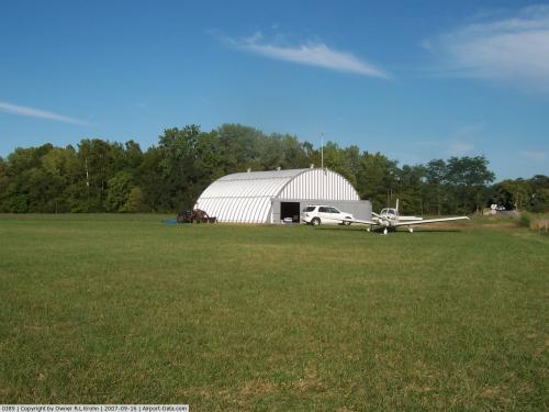
| Ownership: | Privately owned |
| Owner: | Frederick Schmidt |
| Address: | 122 S Main St
Camden, OH 45311 |
| Phone number: | 513-452-3230 |
| Manager: | Frederick Scmidt |
| Address: | 122 S Main St
Camden, OH 45311 |
| Phone number: | 513-452-3230 |
Airport Operations and Facilities
| Airport Use: | Private |
| Wind indicator: | Yes |
| Segmented Circle: | No |
| Control Tower: | No |
| Landing fee charge: | No |
| Sectional chart: | Cincinnati |
| Region: | AGL - Great Lakes |
| Boundary ARTCC: | ZID - Indianapolis |
| Tie-in FSS: | DAY - Dayton |
| FSS on Airport: | No |
| FSS Toll Free: | 1-800-WX-BRIEF |
Runway Information
Runway 03/21
| Dimension: | 1500 x 100 ft / 457.2 x 30.5 m |
| Surface: | TURF, |
| |
Runway 03 |
Runway 21 |
| Traffic Pattern: | Right | Left |
|
Radio Navigation Aids
| ID |
Type |
Name |
Ch |
Freq |
Var |
Dist |
| OXD | NDB | Oxford | | 282.00 | 04W | 11.0 nm |
| HKF | NDB | Hook Field | | 239.00 | 04W | 12.4 nm |
| HAO | NDB | Hamilton | | 260.00 | 04W | 16.8 nm |
| ISZ | NDB | Cincinnati-blue Ash | | 388.00 | 04W | 26.5 nm |
| MDE | NDB | Madeira | | 379.00 | 04W | 28.6 nm |
| LUK | NDB | Cincinnati | | 335.00 | 04W | 32.4 nm |
| XEN | NDB | Xenia | | 395.00 | 03W | 32.6 nm |
| VES | NDB | Versailles | | 356.00 | 04W | 33.8 nm |
| HLB | NDB | Batesville | | 254.00 | 02W | 34.2 nm |
| UWL | NDB | New Castle | | 385.00 | 02W | 34.7 nm |
| UR | NDB | Burln | | 321.00 | 04W | 36.9 nm |
| HW | NDB | Cubla | | 299.00 | 04W | 39.2 nm |
| PWF | NDB | Sportys | | 245.00 | 04W | 39.5 nm |
| CCJ | NDB | Clark County | | 341.00 | 04W | 41.6 nm |
| IL | NDB | Airbo | | 407.00 | 04W | 42.5 nm |
| AI | NDB | Video | | 371.00 | 03W | 47.8 nm |
| FFO | TACAN | Patterson | 099X | | 04W | 28.4 nm |
| XSF | TACAN | Springfield | 065X | | 04W | 38.2 nm |
| DQN | VOR/DME | Dayton | 092X | 114.50 | 01W | 24.5 nm |
| SGH | VOR/DME | Springfield | 079X | 113.20 | 04W | 38.0 nm |
| MXQ | VOR/DME | Midwest | 076X | 112.90 | 04W | 40.6 nm |
| MIE | VOR/DME | Muncie | 091X | 114.40 | 03W | 49.9 nm |
| RID | VORTAC | Richmond | 043X | 110.60 | 03W | 11.6 nm |
| CVG | VORTAC | Cincinnati | 120X | 117.30 | 04W | 38.2 nm |
| ROD | VORTAC | Rosewood | 122X | 117.50 | 05W | 46.9 nm |
| DAY | VOT | Dayton J M Cox-day | | 111.00 | | 24.3 nm |
| LUK | VOT | Cincinnati Muni/lunken | | 108.40 | | 33.8 nm |
Images and information placed above are from
http://www.airport-data.com/airport/OI89/
We thank them for the data!
| General Info
|
| Country |
United States
|
| State |
OHIO
|
| FAA ID |
OI89
|
| Latitude |
39-38-58.190N
|
| Longitude |
084-37-47.826W
|
| Elevation |
866 feet
|
| Near City |
CAMDEN
|
We don't guarantee the information is fresh and accurate. The data may
be wrong or outdated.
For more up-to-date information please refer to other sources.
|
|