|
|
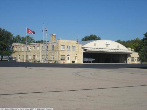 |
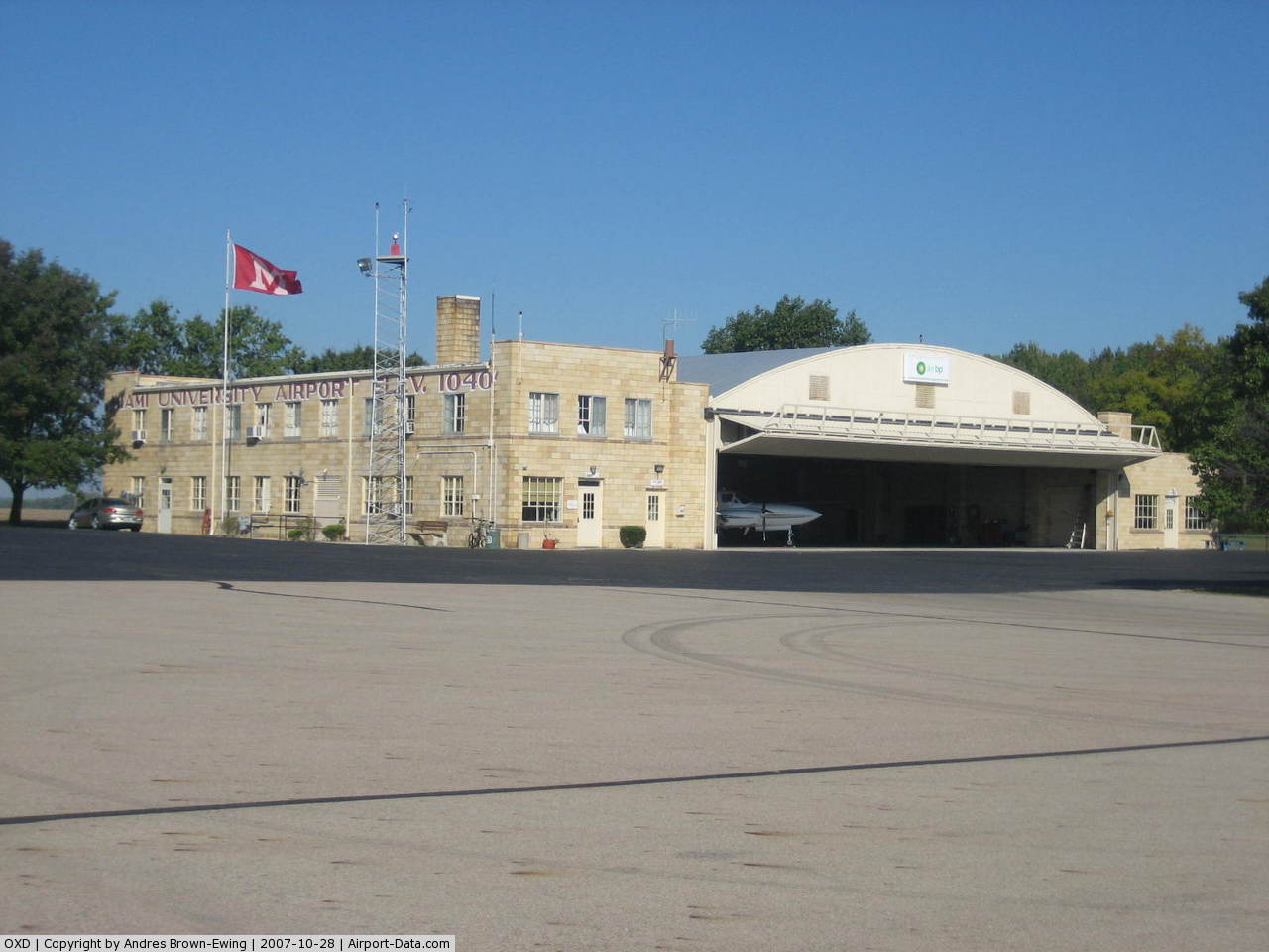
(Click on the photo to enlarge) |
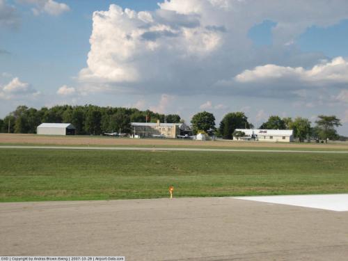 |
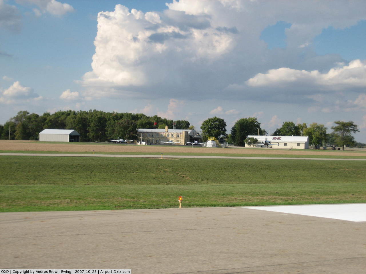
(Click on the photo to enlarge) |
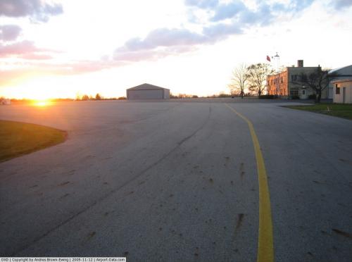 |
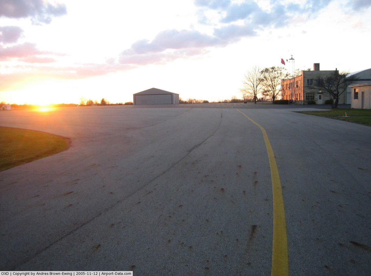
(Click on the photo to enlarge) |
Location & QuickFacts
| FAA Information Effective: | 2008-09-25 |
| Airport Identifier: | OXD |
| Airport Status: | Operational |
| Longitude/Latitude: | 084-47-03.7732W/39-30-08.1385N
-84.784381/39.502261 (Estimated) |
| Elevation: | 1040 ft / 316.99 m (Surveyed) |
| Land: | 309 acres |
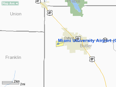
| From nearest city: | 2 nautical miles W of Oxford, OH |
| Location: | Butler County, OH |
| Magnetic Variation: | 04W (1995) |
Owner & Manager
| Ownership: | Publicly owned |
| Owner: | Miami University |
| Address: | Miami University Arpt
Oxford, OH 45056 |
| Phone number: | 513-529-1809 |
| Manager: | Scott Shaw |
| Address: | 7101 Fairfield Road
Oxford, OH 45056 |
| Phone number: | 513-529-2735
ADDITIONAL PHONE NR 513-529-1855. |
Airport Operations and Facilities
| Airport Use: | Open to public |
| Wind indicator: | Yes |
| Segmented Circle: | No |
| Control Tower: | No |
| Lighting Schedule: | DUSK-DAWN
NSTD MIRL RY 05/23 PRESET LOW INTST DUSK-2100; TO INCR INTST & ACTVT REIL RYS 05 & 23 - 122.9; AFT 2100 ACTVT NSTD MIRL RY 05/23 & REIL RYS 05 & 23 - 122.9. |
| Beacon Color: | Clear-Green (lighted land airport) |
| Landing fee charge: | No |
| Sectional chart: | Cincinnati |
| Region: | AGL - Great Lakes |
| Boundary ARTCC: | ZID - Indianapolis |
| Tie-in FSS: | DAY - Dayton |
| FSS on Airport: | No |
| FSS Toll Free: | 1-800-WX-BRIEF |
| NOTAMs Facility: | DAY (NOTAM-d service avaliable) |
| Federal Agreements: | N |
Airport Communications
| CTAF: | 122.800 |
| Unicom: | 122.800 |
Airport Services
| Fuel available: | 100LLA1+ |
| Airframe Repair: | NONE |
| Power Plant Repair: | NONE |
| Bottled Oxygen: | NONE |
| Bulk Oxygen: | NONE |
Runway Information
Runway 05/23
| Dimension: | 4011 x 70 ft / 1222.6 x 21.3 m |
| Surface: | ASPH, Good Condition |
| Surface Treatment: | Saw-cut or plastic Grooved |
| Weight Limit: | Single wheel: 34000 lbs.
Dual wheel: 50000 lbs. |
| Edge Lights: | Non-standard lighting system |
| |
Runway 05 |
Runway 23 |
| Longitude: | 084-47-22.0435W | 084-46-45.5009W |
| Latitude: | 39-29-54.2615N | 39-30-22.0146N |
| Elevation: | 1040.00 ft | 1034.00 ft |
| Alignment: | 46 | 127 |
| Traffic Pattern: | Left | Left |
| Markings: | Non-precision instrument, Good Condition | Non-precision instrument, Good Condition |
| Crossing Height: | 26.00 ft | 28.00 ft |
| Displaced threshold: | 270.00 ft
RY 05 NSTD DSPLCD THLD LGTS 190 FT FM THLD. | 0.00 ft |
| VASI: | 2-light PAPI on left side | 2-light PAPI on left side |
| Visual Glide Angle: | 3.00° | 3.00° |
| Runway End Identifier: | Yes | Yes |
| Obstruction: | 10 ft road, 201.0 ft from runway, 115 ft left of centerline
RWY 05 APCH SLOPE 22:1 TO DSPLCD THLD DUE TO +32 FT BARN 723 FT FM THLD 280 FT R. DAY TIME ONLY. NIGHT TIME 20:1 TO DSPLCD THLD DUE TO +32 FT BARN 643 FT FM THLD 280 FT R.
HAS 5 FT & 10 FT ROAD 75-200 FT FM THLD 250 FT L TO 122 FT L. | 26 ft trees, 435.0 ft from runway, 145 ft left of centerline, 9:1 slope to clear |
|
Radio Navigation Aids
| ID |
Type |
Name |
Ch |
Freq |
Var |
Dist |
| OXD | NDB | Oxford | | 282.00 | 04W | 0.4 nm |
| HAO | NDB | Hamilton | | 260.00 | 04W | 12.6 nm |
| HKF | NDB | Hook Field | | 239.00 | 04W | 15.6 nm |
| HLB | NDB | Batesville | | 254.00 | 02W | 23.8 nm |
| ISZ | NDB | Cincinnati-blue Ash | | 388.00 | 04W | 23.8 nm |
| MDE | NDB | Madeira | | 379.00 | 04W | 26.1 nm |
| UR | NDB | Burln | | 321.00 | 04W | 27.4 nm |
| LUK | NDB | Cincinnati | | 335.00 | 04W | 29.1 nm |
| UWL | NDB | New Castle | | 385.00 | 02W | 33.6 nm |
| PWF | NDB | Sportys | | 245.00 | 04W | 36.8 nm |
| XEN | NDB | Xenia | | 395.00 | 03W | 41.6 nm |
| HW | NDB | Cubla | | 299.00 | 04W | 43.1 nm |
| VES | NDB | Versailles | | 356.00 | 04W | 44.0 nm |
| OVO | NDB | North Vernon | | 374.00 | 02W | 46.7 nm |
| AI | NDB | Video | | 371.00 | 03W | 47.8 nm |
| IL | NDB | Airbo | | 407.00 | 04W | 48.6 nm |
| BA | NDB | Clifs | | 410.00 | 03W | 49.2 nm |
| FFO | TACAN | Patterson | 099X | | 04W | 38.7 nm |
| XSF | TACAN | Springfield | 065X | | 04W | 48.1 nm |
| DQN | VOR/DME | Dayton | 092X | 114.50 | 01W | 35.7 nm |
| MXQ | VOR/DME | Midwest | 076X | 112.90 | 04W | 45.8 nm |
| SGH | VOR/DME | Springfield | 079X | 113.20 | 04W | 47.9 nm |
| RID | VORTAC | Richmond | 043X | 110.60 | 03W | 15.4 nm |
| CVG | VORTAC | Cincinnati | 120X | 117.30 | 04W | 29.5 nm |
| SHB | VORTAC | Shelbyville | 057X | 112.00 | 01E | 48.8 nm |
| LUK | VOT | Cincinnati Muni/lunken | | 108.40 | | 29.3 nm |
| DAY | VOT | Dayton J M Cox-day | | 111.00 | | 35.5 nm |
Remarks
- PAEW 40 FT N OF RY 05/23.
- NON -COMPLIANCE FAR 157.
Images and information placed above are from
http://www.airport-data.com/airport/OXD/
We thank them for the data!
| General Info
|
| Country |
United States
|
| State |
OHIO
|
| FAA ID |
OXD
|
| Latitude |
39-30-08.139N
|
| Longitude |
084-47-03.773W
|
| Elevation |
1040 feet
|
| Near City |
OXFORD
|
We don't guarantee the information is fresh and accurate. The data may
be wrong or outdated.
For more up-to-date information please refer to other sources.
|
|