 |
|
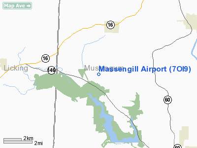
Location & QuickFacts
| FAA Information Effective: | 2008-09-25 |
| Airport Identifier: | 7OI9 |
| Airport Status: | Operational |
| Longitude/Latitude: | 082-08-09.5080W/40-04-08.2430N
-82.135974/40.068956 (Estimated) |
| Elevation: | 955 ft / 291.08 m (Estimated) |
| Land: | 4 acres |
| From nearest city: | 2 nautical miles E of Nashport, OH |
| Location: | Muskingum County, OH |
| Magnetic Variation: | 06W (1985) |
Owner & Manager
| Ownership: | Privately owned |
| Owner: | Charles W Mc Naughi |
| Address: | 8115 Vickers Hill Dr
Nashport, OH 43830 |
| Phone number: | 614-828-3825 |
| Manager: | Charles W. Mc Naught |
| Address: | 8115 Vicker's Hill Drive
Nashport, OH 43830 |
| Phone number: | 614-828-3825 |
Airport Operations and Facilities
| Airport Use: | Private |
| Wind indicator: | Yes |
| Segmented Circle: | No |
| Control Tower: | No |
| Sectional chart: | Detroit |
| Region: | AGL - Great Lakes |
| Boundary ARTCC: | ZID - Indianapolis |
| Tie-in FSS: | CLE - Cleveland |
| FSS on Airport: | No |
| FSS Toll Free: | 1-800-WX-BRIEF |
Airport Communications
Runway Information
Runway 11/29
| Dimension: | 2000 x 65 ft / 609.6 x 19.8 m |
| Surface: | TURF, |
| |
Runway 11 |
Runway 29 |
| Traffic Pattern: | Left | Left |
| Displaced threshold: | 400.00 ft | 0.00 ft |
| Obstruction: | 30 ft trees, 50.0 ft from runway | |
|
Radio Navigation Aids
| ID |
Type |
Name |
Ch |
Freq |
Var |
Dist |
| HRA | NDB | Zanesville | | 204.00 | 06W | 14.0 nm |
| HEH | NDB | Newark | | 524.00 | 06W | 15.3 nm |
| CM | NDB | Sumie | | 391.00 | 05W | 28.9 nm |
| MLR | NDB | Millersburg/dcmsnd | | 382.00 | 06W | 30.9 nm |
| CHC | NDB | Grens | | 272.00 | 04W | 41.2 nm |
| DKG | NDB | Don Scott | | 348.00 | 05W | 43.4 nm |
| MF | NDB | Manns | | 372.00 | 06W | 44.2 nm |
| DLZ | NDB | Delaware | | 215.00 | 06W | 46.2 nm |
| UGS | NDB | University | | 250.00 | 06W | 48.8 nm |
| OS | NDB | Fuler | | 515.00 | 05W | 48.9 nm |
| LCK | TACAN | Rickenbacker | 069X | | 05W | 39.8 nm |
| ZZV | VOR/DME | Zanesville | 051X | 111.40 | 06W | 13.6 nm |
| TVT | VOR/DME | Tiverton | 112X | 116.50 | 03W | 23.4 nm |
| CTW | VOR/DME | Newcomerstown | 055X | 111.80 | 07W | 31.8 nm |
| APE | VORTAC | Appleton | 114X | 116.70 | 06W | 21.4 nm |
| CMH | VOT | Port Columbus | | 111.00 | | 34.8 nm |
Remarks
- MODEL AIRPLANES USING FIELD, CIRCLE BEFORE LANDING.
Images and information placed above are from
http://www.airport-data.com/airport/7OI9/
We thank them for the data!
| General Info
|
| Country |
United States
|
| State |
OHIO
|
| FAA ID |
7OI9
|
| Latitude |
40-04-08.243N
|
| Longitude |
082-08-09.508W
|
| Elevation |
955 feet
|
| Near City |
NASHPORT
|
We don't guarantee the information is fresh and accurate. The data may
be wrong or outdated.
For more up-to-date information please refer to other sources.
|
|


