 |
|
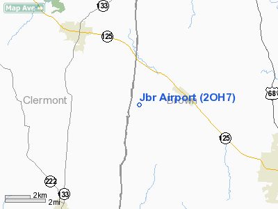
Location & QuickFacts
| FAA Information Effective: | 2008-09-25 |
| Airport Identifier: | 2OH7 |
| Airport Status: | Operational |
| Longitude/Latitude: | 084-01-33.7530W/38-54-40.2430N
-84.026043/38.911179 (Estimated) |
| Elevation: | 945 ft / 288.04 m (Estimated) |
| Land: | 4 acres |
| From nearest city: | 2 nautical miles SW of Hamersville, OH |
| Location: | Brown County, OH |
| Magnetic Variation: | 03W (1985) |
Owner & Manager
| Ownership: | Privately owned |
| Owner: | Ronald G. Hitt |
| Address: | 9925 Sr774
Hamersville, OH 45130 |
| Phone number: | 513-379-1646 |
| Manager: | Ronald G. Hitt |
| Address: | 9925 Sr774
Hamersville, OH 45130 |
| Phone number: | 513-379-1646 |
Airport Operations and Facilities
| Airport Use: | Private |
| Wind indicator: | Yes |
| Segmented Circle: | No |
| Control Tower: | No |
| Sectional chart: | Cincinnati |
| Region: | AGL - Great Lakes |
| Boundary ARTCC: | ZID - Indianapolis |
| Tie-in FSS: | DAY - Dayton |
| FSS on Airport: | No |
| FSS Toll Free: | 1-800-WX-BRIEF |
Runway Information
Runway 14/32
| Dimension: | 1850 x 50 ft / 563.9 x 15.2 m |
| Surface: | TURF, Good Condition |
| |
Runway 14 |
Runway 32 |
| Traffic Pattern: | Left | Left |
| Displaced threshold: | 0.00 ft | 600.00 ft |
| Obstruction: | 150 ft towers, 12000.0 ft from runway | 30 ft plines, 20.0 ft from runway |
|
Radio Navigation Aids
| ID |
Type |
Name |
Ch |
Freq |
Var |
Dist |
| PWF | NDB | Sportys | | 245.00 | 04W | 13.3 nm |
| LUK | NDB | Cincinnati | | 335.00 | 04W | 21.0 nm |
| AMT | NDB | West Union | | 359.00 | 04W | 21.9 nm |
| MDE | NDB | Madeira | | 379.00 | 04W | 24.2 nm |
| ISZ | NDB | Cincinnati-blue Ash | | 388.00 | 04W | 26.5 nm |
| XW | NDB | Flmng | | 400.00 | 05W | 27.0 nm |
| HW | NDB | Cubla | | 299.00 | 04W | 27.5 nm |
| HOC | NDB | Hillsboro | | 278.00 | 05W | 27.9 nm |
| PZO | NDB | Peebles | | 329.00 | 02W | 32.7 nm |
| UR | NDB | Burln | | 321.00 | 04W | 35.8 nm |
| IL | NDB | Airbo | | 407.00 | 04W | 37.4 nm |
| HAO | NDB | Hamilton | | 260.00 | 04W | 37.7 nm |
| HKF | NDB | Hook Field | | 239.00 | 04W | 40.4 nm |
| XEN | NDB | Xenia | | 395.00 | 03W | 48.5 nm |
| FLM | VOR/DME | Falmouth | 117X | 117.00 | 04W | 20.6 nm |
| MXQ | VOR/DME | Midwest | 076X | 112.90 | 04W | 32.9 nm |
| CVG | VORTAC | Cincinnati | 120X | 117.30 | 04W | 32.3 nm |
| LUK | VOT | Cincinnati Muni/lunken | | 108.40 | | 21.4 nm |
Remarks
- PRVDD OBSTN IN RY APCH SLOPE SFC REMOVED/LOWERED OR THR DSPLCD & MKD TO PROVIDE MINIMUM 20:1 APCH CLNC OVER OBSTN; AREA 125' EITHER SIDE RY CNTRLN CLEAR OF OBSTN.
Images and information placed above are from
http://www.airport-data.com/airport/2OH7/
We thank them for the data!
| General Info
|
| Country |
United States
|
| State |
OHIO
|
| FAA ID |
2OH7
|
| Latitude |
38-54-40.243N
|
| Longitude |
084-01-33.753W
|
| Elevation |
945 feet
|
| Near City |
HAMERSVILLE
|
We don't guarantee the information is fresh and accurate. The data may
be wrong or outdated.
For more up-to-date information please refer to other sources.
|
|


