|
 |
|
||||
|
Coordinates: 39°54′09″N 084°13′10″W / 39.9025°N 84.21944°W
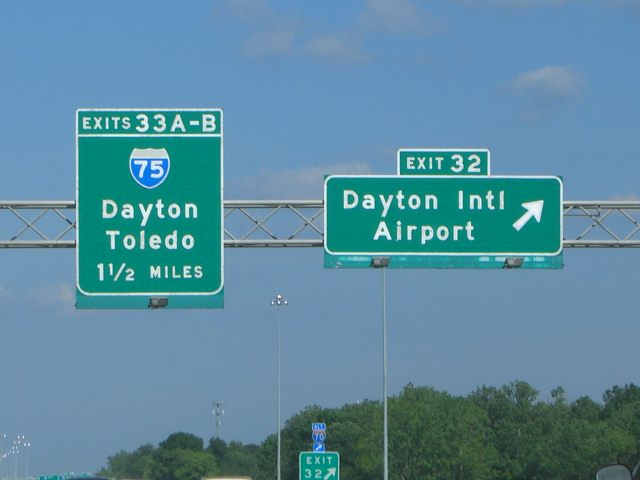
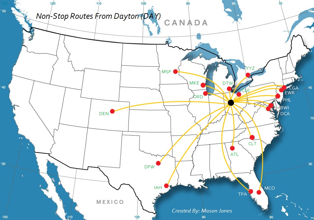
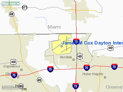
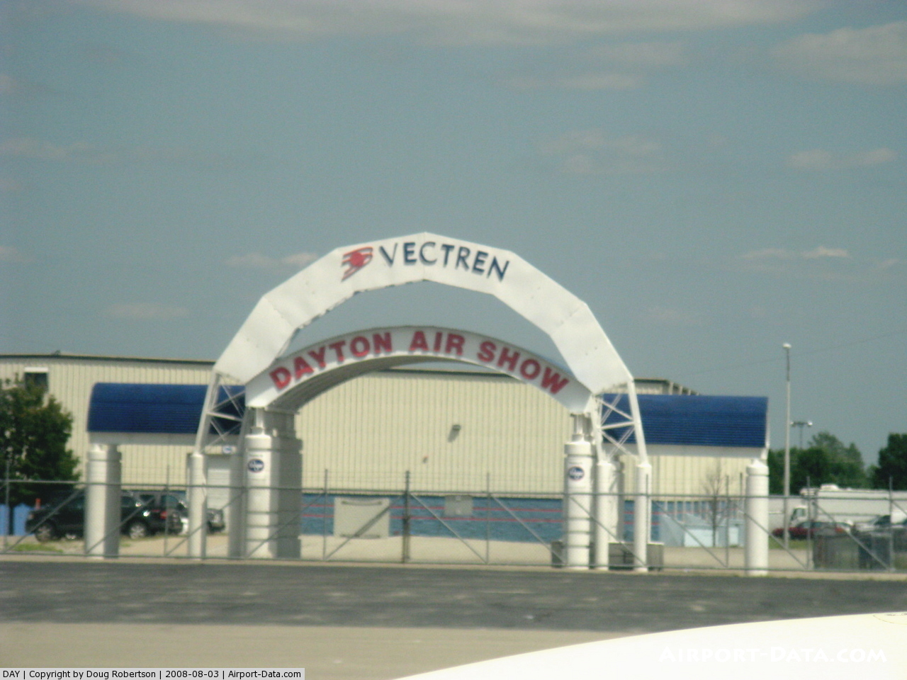
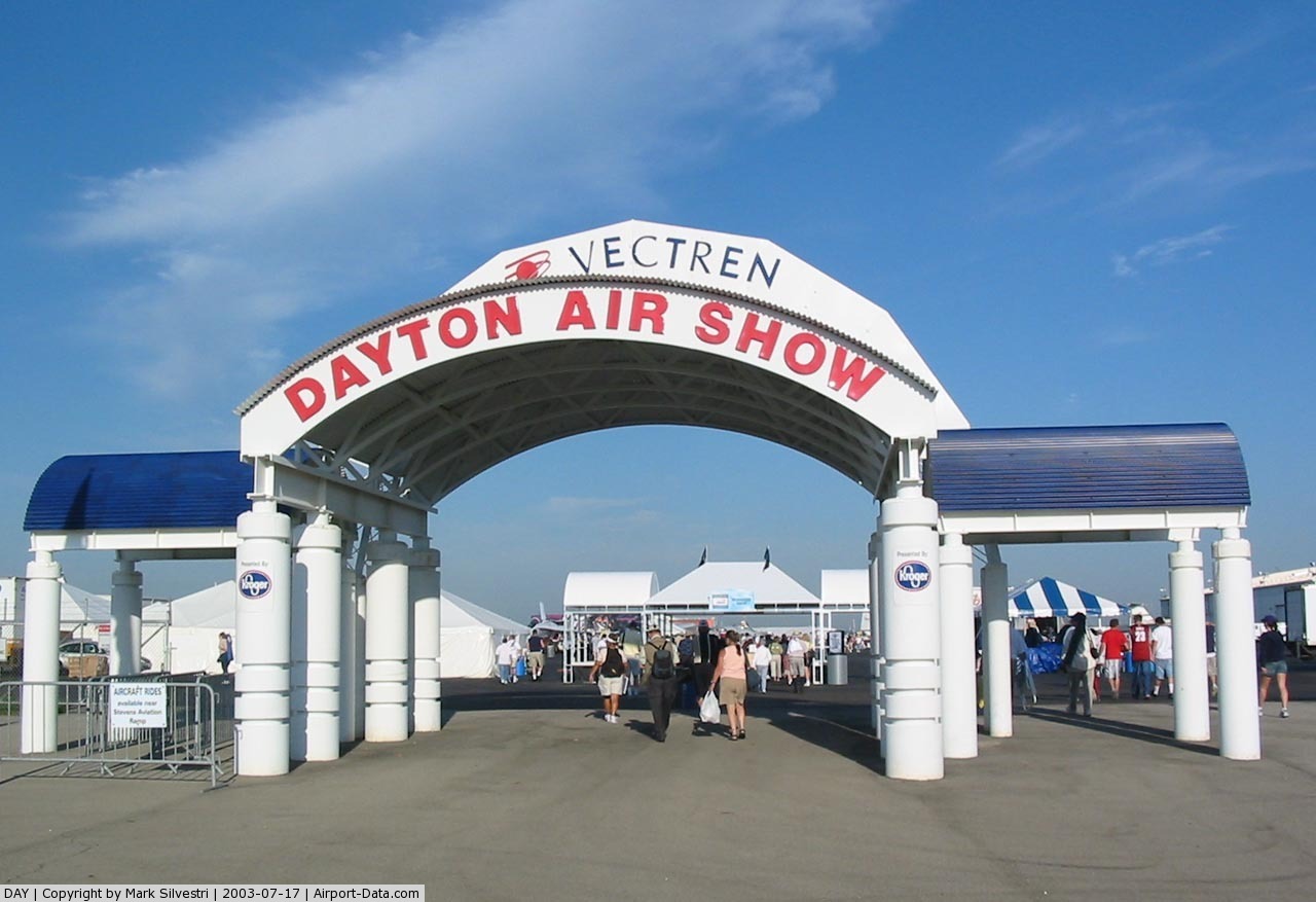
James M. Cox Dayton International Airport (IATA: DAY, ICAO: KDAY, FAA LID: DAY), also referred to as simply Dayton International Airport, is a public airport located nine miles (14 km) north of the central business district of Dayton, a city in Montgomery County, Ohio, United States. The airport is situated in Vandalia and it is owned and operated by the City of Dayton. The Dayton International Airport is the third busiest and third largest airport in Ohio behind Port Columbus International Airport. The Dayton International Airport is also one of the nation's 10 fastest growing airports. The airport is also home to the annual Vectren Dayton Air Show.
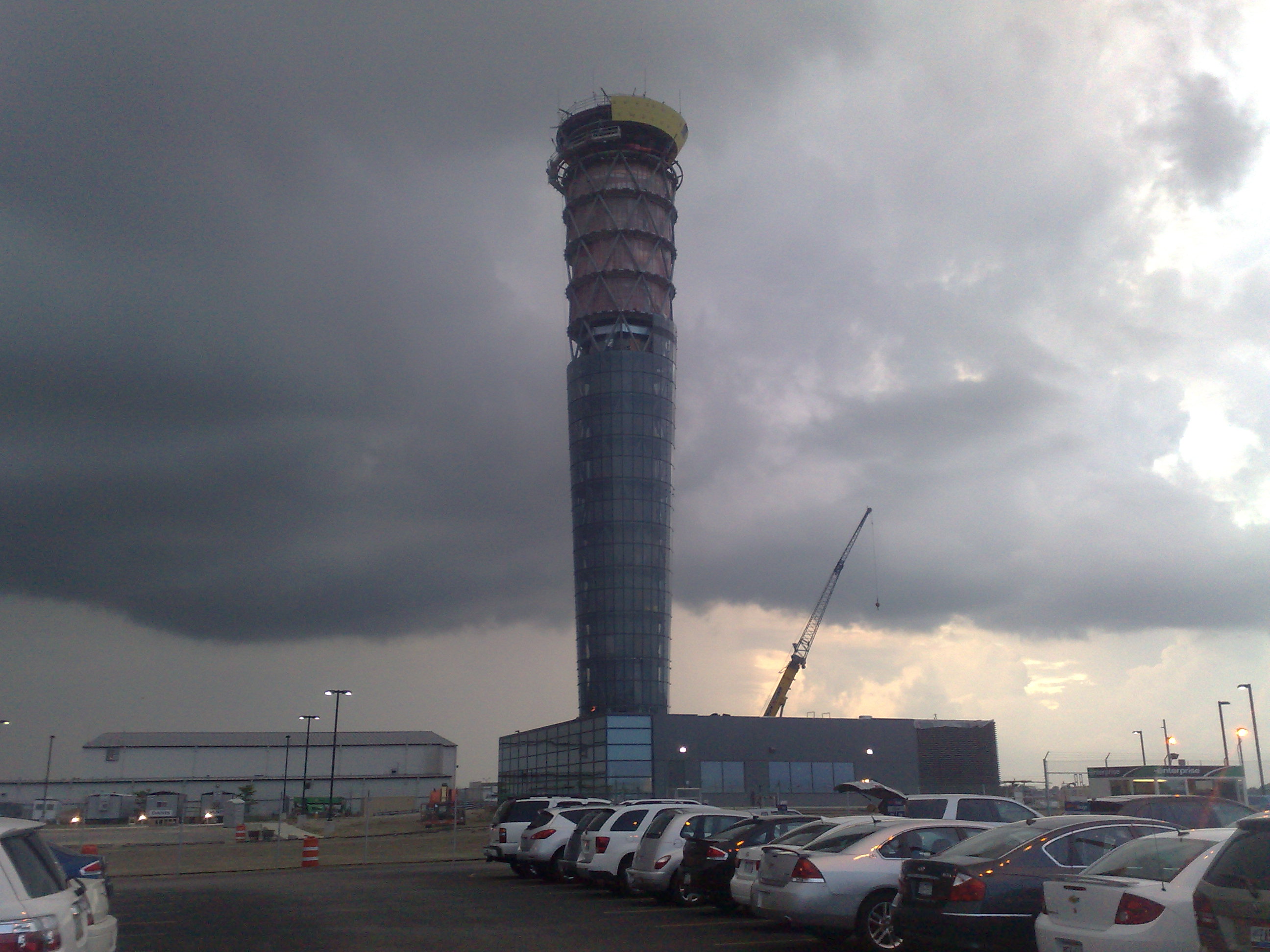
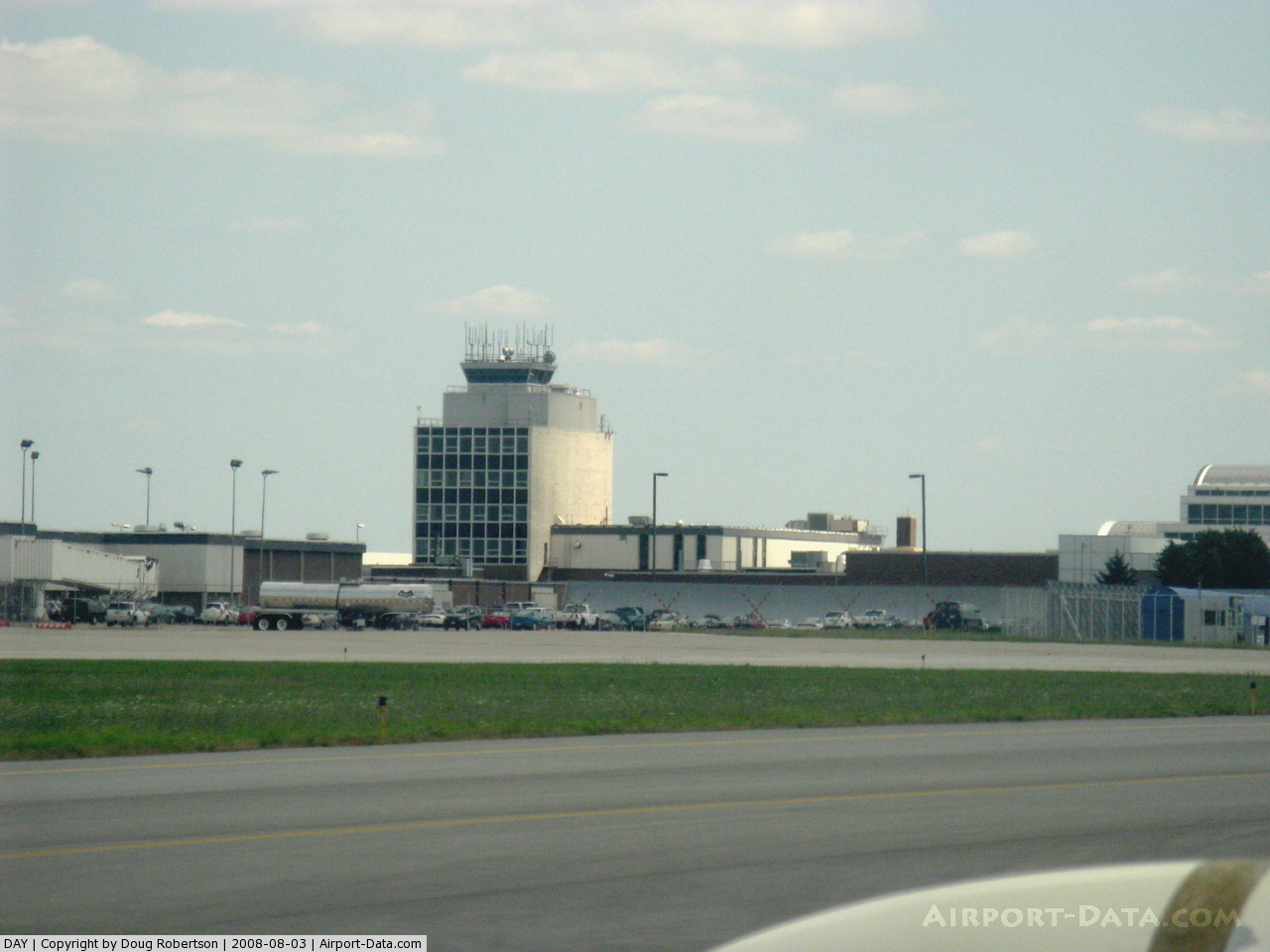
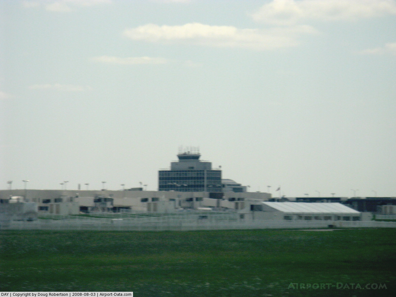
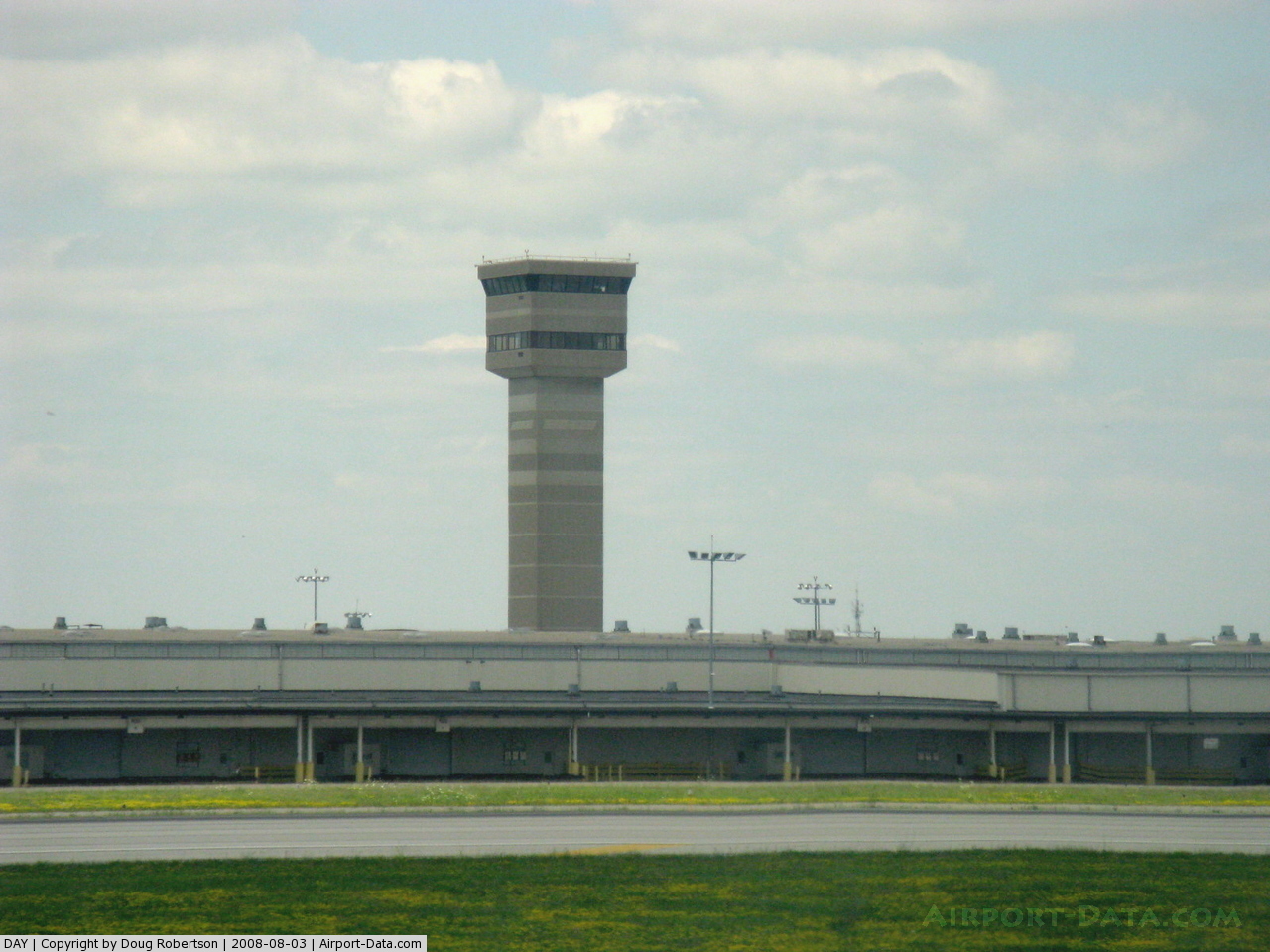
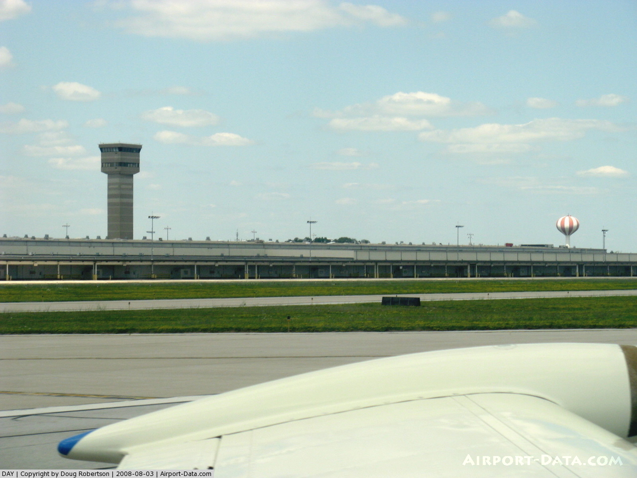
Dayton International Airport handled 2,932,925 passengers in 2008 and made 70,500 combined take offs and landings in 2008. Dayton ranked No. 76 in U.S. airport boardings in 2008. It currently serves as the headquarters for US Airways Express carrier PSA Airlines. Dayton has emerged as an attractive destination for more airlines and more airline destinations in recent years, notably from low fare carriers. AirTran Airways and Frontier Airlines have emerged as significant competitors at Dayton to the "legacy" carriers. In June 2008, Dayton airport director Iftikhar Ahmad helped launch "Arts at the Airport." The addition of a performance stage in the main terminal and displays of regional artwork are part of a multi-faceted plan to dramatically enhance the customer experience at the airport. The goals of the program are to highlight and reflect the values, character and talent within the Dayton Community, serve to inform visiting passengers about Dayton’s rich history of flight, innovation, technology and invention, and distinguish and promote the greater Dayton artistic community. Expansion room exists, with plenty of open gates and even the entire Concourse D - the one formerly used by Piedmont Airlines and USAir for their mini-hub operation. Airport HistoryIn August 1928, a property in Vandalia, Ohio was under transformation to establish a working private airport called the “Dayton Airport.” Once all improvements were complete, the Airport consisted of two 80’ by 120’ hangars, a brick office/machine shop building, a water tower, small brick power plant, Refiners Oil and Gasoline Station (a yellow Ivan Driggs Monoplane known as “The Bumble Bee” was attached to the roof), and three Macadam surfaced runways approximately 75’ wide and 500’ long that converged to point west. On December 17, 1936, thirty-three years to the day after the Wright brothers’ first flight, a dedication ceremony was held to officially open the airfield as the “Dayton Municipal Airport.” The Dayton Municipal Airport featured three 3,600’ concrete runways and connecting taxiways. Soon after its opening, Trans Continental and Western Airways, later to be called TWA, began service with three daily flights. Over the next several years, World War II played a significant role in the growth of the Dayton Municipal Airport. During the period of 1942-45, the U.S. Department of Defense acquired various real estate interests in and around the Airport for the construction of an army training airfield. On September 15, 1947, the Dayton Municipal Airport became the largest commercial airport in Ohio. By 1952, the Dayton City Commission passed a Resolution to rename the Airport the “James M. Cox-Dayton Municipal Airport.” By the mid-1950s, the Airport was continuing to expand by the acquisition of additional property from the federal government. To meet the demands for air service, it was evident that a new passenger terminal facility was necessary. After much planning, a ground breaking ceremony was held in 1959 to herald construction of a new $5.5 million terminal building. The Airport received its existing name “James M. Cox Dayton International Airport” in 1975 and, also that year, U.S. Customs opened a facility on the Airport. The airport was a hub for Piedmont Airlines opening July 1, 1982 until its merger with USAir. After the merger, USAir continued to maintain Dayton as a hub for a short while before eliminating some of its "long" routes like those to Los Angeles, San Francisco, Dallas and to Floridian cities in preference to its Pittsburgh and Indianapolis hubs. USAir, and its successor US Airways, sustained Dayton as a Midwest focus-city with routes to cities like Grand Rapids, Indianapolis, and Columbus with routes to some other cities like Boston plus US Airways hubs in Pittsburgh, Charlotte, Philadelphia, New York City, and Washington, D.C. The airport also served as a hub for Emery Worldwide, a freight carrier. The Airport experienced continued growth during in the 1980s. In 1981, Emery Worldwide completed construction of an air freight/cargo hub sortation facility adjacent to Runway 6L–24R. Emery continued to construct additions to the facility until the early 1990s, making it one of the largest air freight facilities in the world at the time. With this new facility, the Airport moved up in the U.S. airport cargo rankings. Domestic passenger service also experienced a surge. On July 1, 1982, Piedmont Airlines, Inc. opened a midwest hub at the Airport. With this hub, the Airport became more connected to the national aviation system with non-stop service to major western markets, including the California cities of San Francisco, Los Angeles and San Diego. Today, the Dayton International Airport spans over 4,500 acres, and encompasses approximately 4.7 of miles of runway. The Dayton International Airport is served by ten airlines and has twenty-one non-stop destinations. There are approximately 74 daily arriving and departing flights from 15 active airline gates. In 2007, the Airport experienced passenger growth in excess of 8% for a total of 2,833,103 passengers served. According to State of Ohio data, the Dayton International Airport has a $1 Billion economic impact on the regional economy. Current Construction ProjectsRecently the Dayton International Airport completed construction of a new air traffic control tower. The Tower is approximately 255 feet (78 m) high with a 12,000-square-foot (1,100 m) base building of office and operation space that houses ATCT Controllers support offices and offices for other FAA personnel. The airport also broke ground in April, 2009 for a new multi-level parking garage. The new garage will allow the Airport to increase non-airline revenues and will create a dramatic positive shift in customer convenience and services to remain competitive with other airports in the region. The parking garage is expected to be completed Summer 2010. The new ATCT was designed by architect Jose Luis Palacios of AECOM.
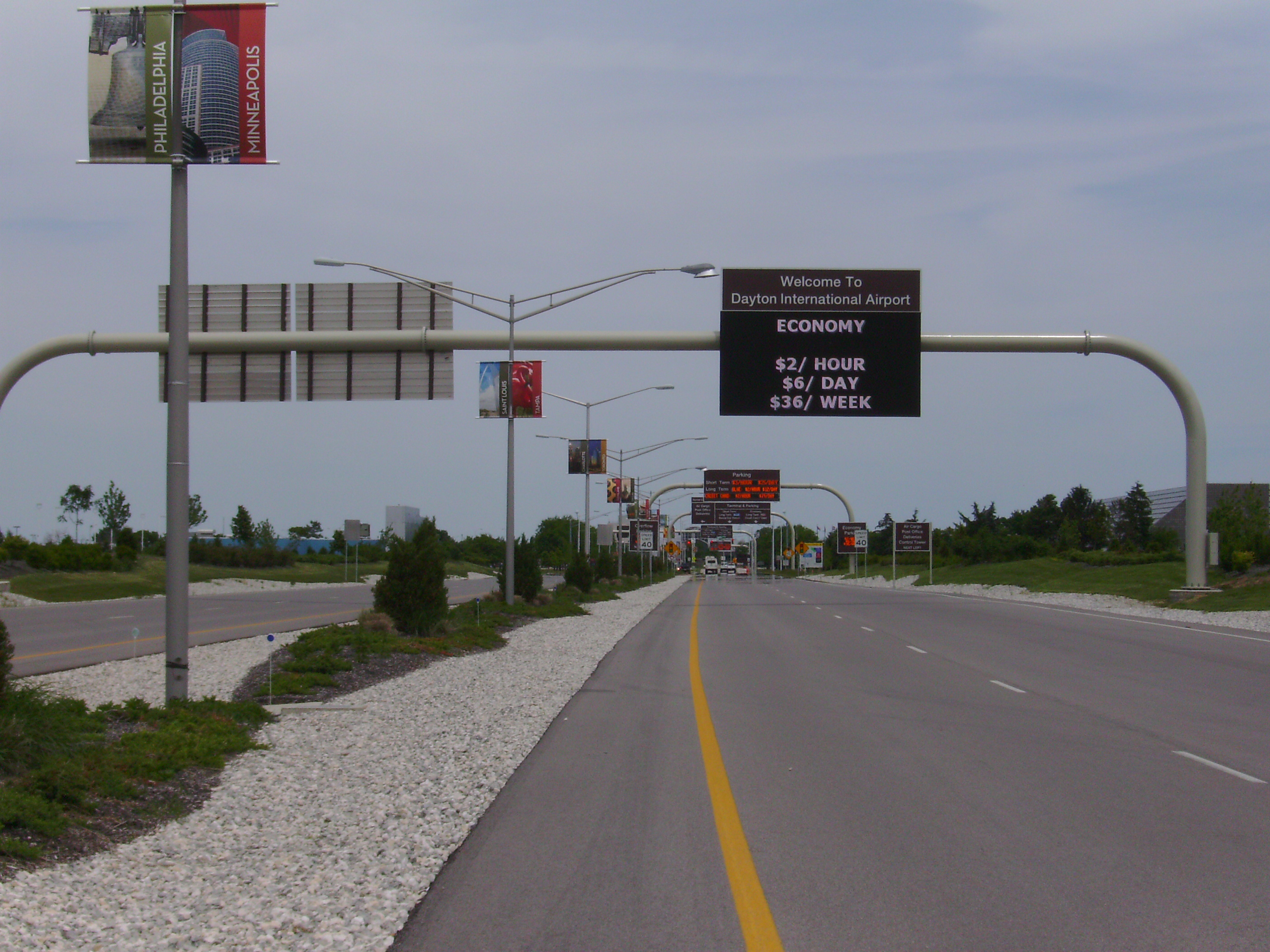
The Parking Lot Improvement project began in October 2008 and provides for: (1) the construction of a new entrance/exit for a new “red” long term parking lot and economy parking lot at the Dayton International Airport (“Airport”); (2) reconfiguration and restriping of the existing Airport credit card parking lot; (3) installation of revenue control equipment for the Airport overflow parking lot; (4) upgrade of electrical and lighting within various Airport parking lots. These improvements are scheduled to be completed in May 2009. In addition, the access road to the terminal has been undergoing several upgrades since October 2007 which involves the rehabilitation of Terminal Drive pavement, drainage system upgrades, installation of underground utilities and erection of new signage and other related roadway improvements. The airport also began a multi-year project in October 2006 to the Perimeter Roadway network to provide access around the airfield and to preserve and enhance safety at the Airport by eliminating vehicle crossing of active runways and taxiways. Completion of the Perimeter Roadway project is slated for November 2009.
The extension of runway 6R pavement by 285 feet (87 m) connecting to the taxiway pavement coupled with the relocation of a high pressure gas transmission main and an 8-inch service main from under the foot print of the runway extension will improve the 6R/24L runway area. This project scheduled for completion in June 2009 will preserve and enhance safety at the Airport by improving the 6R/24L runway safety area. Furthermore, the installation of wildlife fencing will be completed in May 2009 and will be designed to preserve and enhance safety at the Airport by reducing the migration of wild life animals into the airfield. The Airport Land Use and Development Options Plan began August 2008 for at least 650 acres of land around the Airport property, and will be designated for aviation and non-aviation uses. By August 2009, the plan will maximize financial returns to the Airport while maintaining consistency with the proposed Future Airport Layout Plan, the Strategic Business Plan, and the applicable Community Plans as adopted by the Miami Valley Regional Planning Commission, City of Dayton, Montgomery County, and the surrounding communities. Facilities
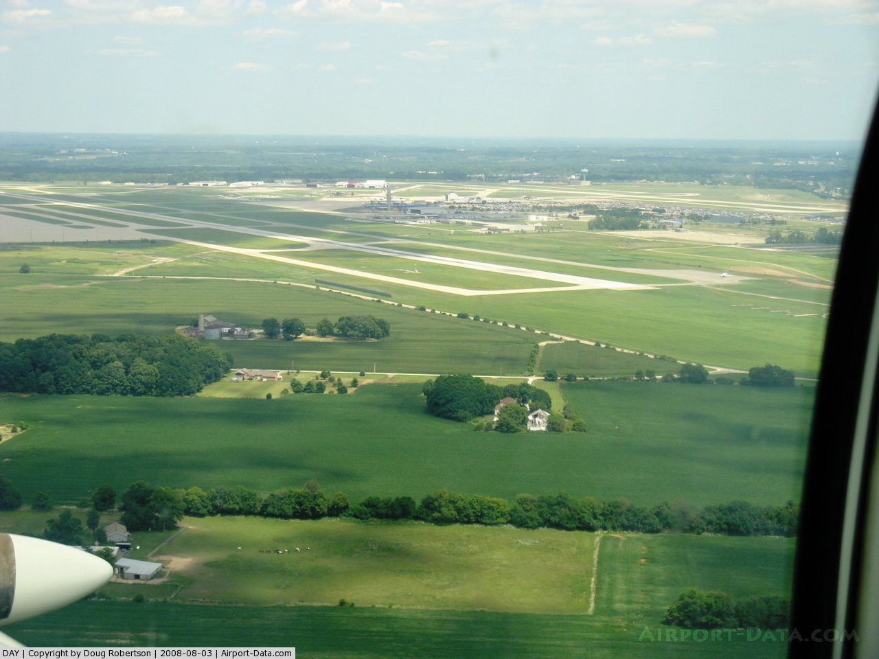
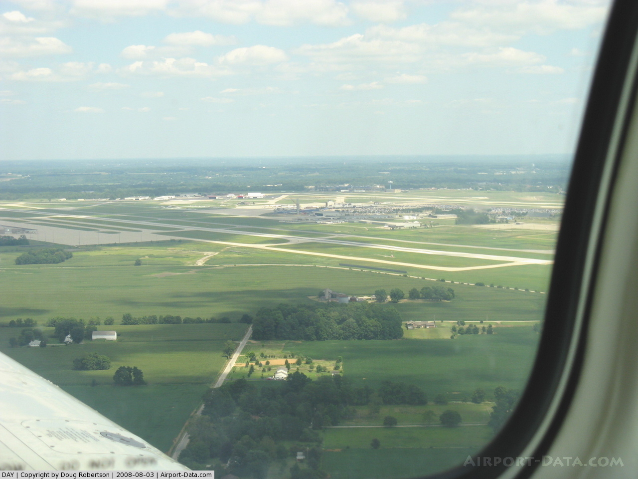
Dayton International Airport covers an area of 4,200 acres (1,700 ha) which contains three paved runways:
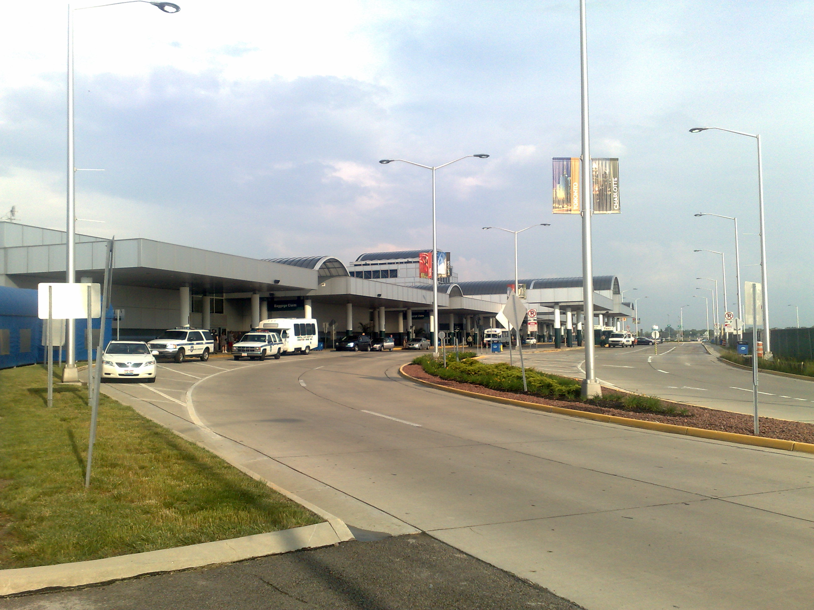
AircraftFor the 12-month period ending December 31, 2006, the airport had 109,653 aircraft operations, an average of 300 per day: 25% scheduled commercial, 36% air taxi, 37% general aviation and 1% military. Ground transportation and rentalsTaxicab service is available at curbside. Liberty Cab (in operation since 1929), Dayton Checker Cab, All America Taxi, Dayton Express Company, Diamond Taxi, Petra Cab, Charter Vans Inc. and Skyair, Inc. all provide ground transportation throughout the Dayton metro area. There are also several rental car companies serving the airport. AmenitiesSome of the restaurants located within the airport include Starbucks, Quiznos, Cinnabon, Max & Erma's, and Sbarro. Several convenience shops and newsstands are also located within the airport. A Holiday Inn and Suites is being constructed at the airport and will be finished in 2011. Terminals, airlines and destinationsDayton Airport consists of two concourses: Concourse B has 8 jet bridges, and Concourse C has 12 jet bridges. Concourse D was closed in 1991, but can be re-activated for airline operations with a capacity for 6 jet bridges in case of growing demand.
Passenger StatisticsThe following is a list of passenger numbers at Dayton Airport, split up into the respective major airlines:
CargoThe Dayton International Airport once ranked among the nation's busiest air freight facilities and was the midwestern hub for Emery Worldwide, a CF company, before Emery ceased operations in 2001. The Dayton International Airport is also a significant regional air freight hub hosting: Aviation Facilities Company Inc., FedEx Express, FedEx Trade Networks. In popular filmIn the 2008 film Eagle Eye, the two main characters are instructed to take a bus to the Dayton International Airport. The airport's name was mentioned several other times in the movie, even though there are no actual screen shots at the Dayton International Airport in the making of the movie. The actual airport scenes were shot at the Los Angeles International Airport. AccidentsTWA Flight 553 was en route to Dayton when it collided with a Beechcraft Baron over Urbana, Ohio. The accident led to the FAA's decision to create Terminal Control Area also known as Class B Airspace. An accident occurred at the airport on July 28, 2007, when an aircraft performing a loop the loop over the airport at the Dayton Air Show [1] slammed into the runway when attempting to finish the stunt. The pilot, Jim LeRoy, was killed in the crash. The above content comes from Wikipedia and is published under free licenses – click here to read more.
Location & QuickFacts
Owner & Manager
Airport Operations and Facilities
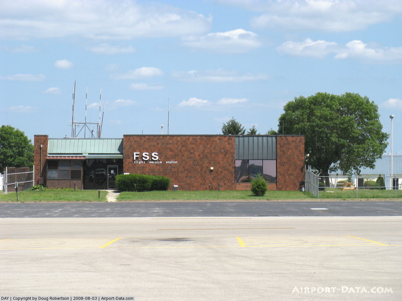
Airport Communications
Airport Services
Runway InformationRunway 06L/24R
Runway 06R/24L
Runway 18/36
Radio Navigation Aids
Remarks
Images and information placed above are from We thank them for the data!
We don't guarantee the information is fresh and accurate. The data may
be wrong or outdated.
|
||||||||||||||||||||||||||||||||||||||||||||||||||||||||||||||||||||||||||||||||||||||||||||||||||||||||||||||||||||||||||||||||||||||||||||||||||||||||||||||||||||||||||||||||||||||||||||||||||||||||||||||||||||||||||||||||||||||||||||||||||||||||||||||||||||||||||||||||||||||||||||||||||||||||||||||||||||||||||||||||||||||||||||||||||||||||||||||||||||||||||||||||||||||||||||||||||||||||||||||||||||||||||||||||||||||||||||||||||||||||||||||||||||||||||||||||||||||||||||||||||||||||||||||||||||||||||||||||||||||||||||||||||||||||||||||||||||||||||||||||||||||||||||||||||||||||||||||||||||||||||||||||||||||||||||||||||||||||||||||||||||||||||||||||||||||||||||||||||||||||||||||||||||||||||||||||||||||||||||||||||||||||||||||||||||||||||||||||||||||||||||||||||||||||||||||||||||||||||||||||||||||||||||||||||||||||||||||||||||||||||||

 |
|
Copyright 2004-2026 © by Airports-Worldwide.com, Vyshenskoho st. 36, Lviv 79010, Ukraine Legal Disclaimer |