|
|
Middletown Regional Airport
Hook Field |
 |
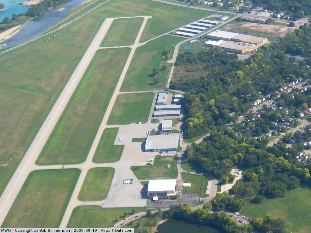
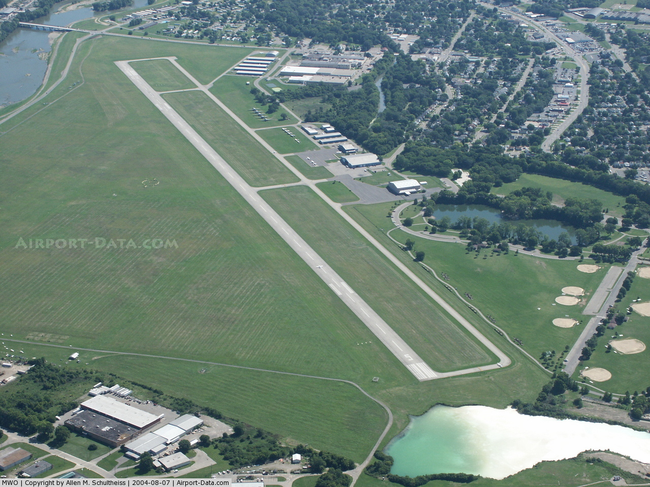
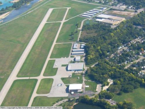
| Aerial view of airport from the east |
| IATA: MWO – ICAO: KMWO – FAA LID: MWO |
| Summary |
| Airport type |
Public |
| Owner |
City of Middletown |
| Serves |
Middletown, Ohio |
| Elevation AMSL |
650 ft / 198 m |
| Coordinates |
39°31′54″N 084°23′47″W / 39.53167°N 84.39639°W / 39.53167; -84.39639 |
| Website |
www.HookField.com |
| Runways |
| Direction |
Length |
Surface |
| ft |
m |
| 5/23 |
6,100 |
1,859 |
Asphalt |
| 8/26 |
3,040 |
927 |
Turf |
| Statistics (2007) |
| Aircraft operations |
40,050 |
| Based aircraft |
84 |
| Source: Federal Aviation Administration |
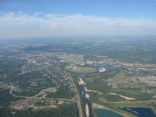
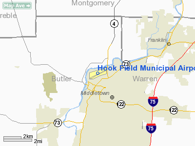
Middletown Regional Airport, also known as Hook Field, (IATA: MWO, ICAO: KMWO, FAA LID: MWO) is a city-owned public-use airport located two nautical miles (3.7 km) north of the central business district of Middletown, a city in Butler County, Ohio, United States. The airport was renamed in October 2008; it was previously known as Hook Field Municipal Airport.
In late August 2008 the airport gained some national prominence when the Republican vice presidential nominee Sarah Palin flew into Hook to later attend a Dayton campaign rally where she was announced as Senator John McCain's running mate.
Facilities and aircraft
Middletown Regional Airport covers an area of 550 acres (223 ha) at an elevation of 650 feet (198 m) above mean sea level. It has two runways: 5/23 is 6,100 by 100 feet (1,859 x 30 m) with an asphalt pavement; 8/26 is 3,040 by 297 feet (927 x 91 m) with a turf surface. It has the longest runway of any non-towered airport in southwest Ohio.
For the 12-month period ending October 1, 2007, the airport had 40,050 aircraft operations, an average of 109 per day: 91% general aviation, 9% air taxi, and <% military. At that time there were 84 aircraft based at this airport: 95% single-engine, 1% multi-engine, 2% jet and 1% helicopter.
The above content comes from Wikipedia and is published under free licenses – click here to read more.
 |
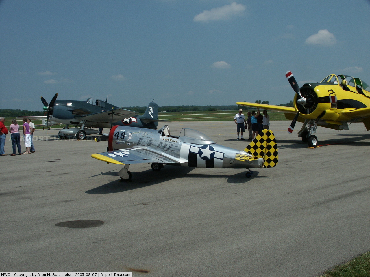
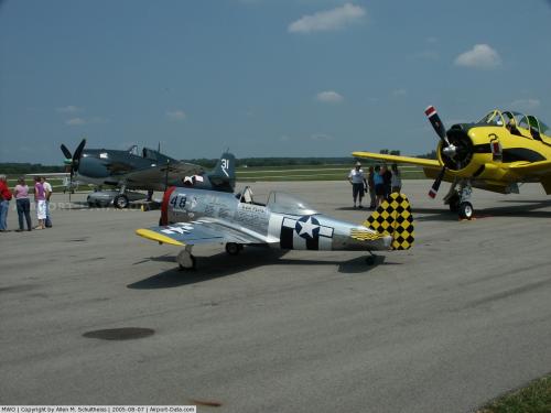
(Click on the photo to enlarge) |
 |
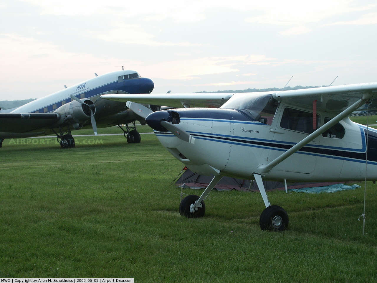
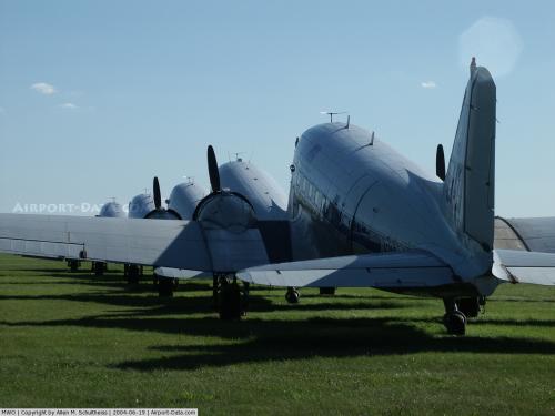
(Click on the photo to enlarge) |
 |
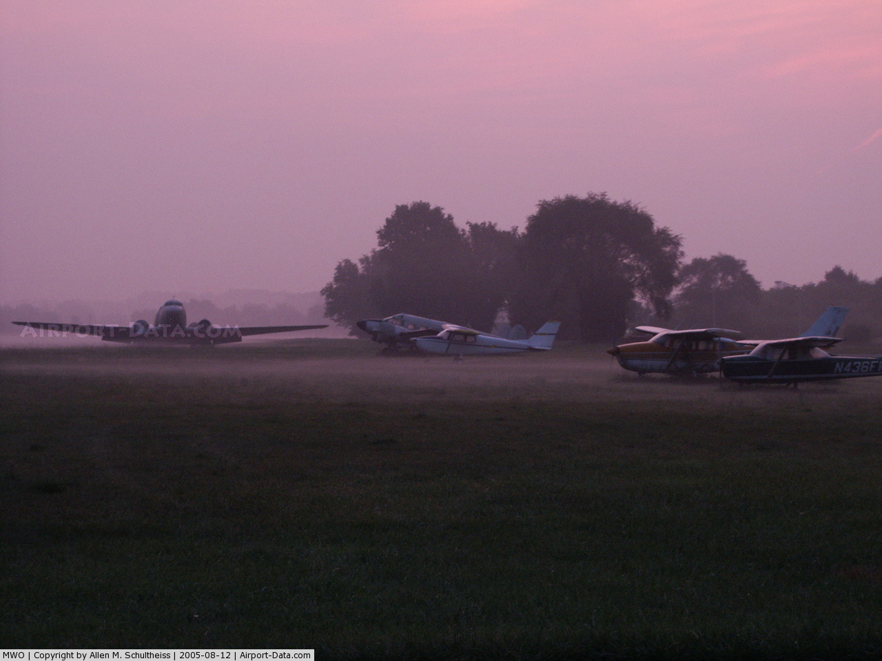
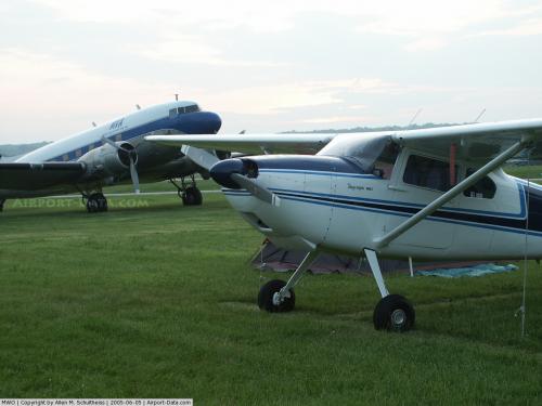
(Click on the photo to enlarge) |
 |
(Click on the photo to enlarge) |
 |
(Click on the photo to enlarge) |
 |
(Click on the photo to enlarge) |
Location & QuickFacts
| FAA Information Effective: | 2008-09-25 |
| Airport Identifier: | MWO |
| Airport Status: | Operational |
| Longitude/Latitude: | 084-23-47.2000W/39-31-54.5000N
-84.396444/39.531806 (Estimated) |
| Elevation: | 650 ft / 198.12 m (Surveyed) |
| Land: | 550 acres |
| From nearest city: | 2 nautical miles N of Middletown, OH |
| Location: | Butler County, OH |
| Magnetic Variation: | 04W (1985) |
Owner & Manager
| Ownership: | Publicly owned |
| Owner: | City Of Middletown |
| Address: | 1 Donham Plaza
Middletown, OH 45042 |
| Phone number: | 513-425-7845 |
| Manager: | James W. Johnson |
| Address: | 1707 Run Way
Middletown, OH 45042 |
| Phone number: | 513-217-4777
MGR CELL PHONE 513-320-4480. |
Airport Operations and Facilities
| Airport Use: | Open to public |
| Wind indicator: | Yes |
| Segmented Circle: | Yes |
| Control Tower: | No |
| Lighting Schedule: | DUSK-DAWN
ACTVT MIRL RY 05/23 - CTAF. |
| Beacon Color: | Clear-Green (lighted land airport) |
| Landing fee charge: | No |
| Sectional chart: | Cincinnati |
| Region: | AGL - Great Lakes |
| Boundary ARTCC: | ZID - Indianapolis |
| Tie-in FSS: | DAY - Dayton |
| FSS on Airport: | No |
| FSS Toll Free: | 1-800-WX-BRIEF |
| NOTAMs Facility: | DAY (NOTAM-d service avaliable) |
| Federal Agreements: | NGY |
Airport Communications
| CTAF: | 123.000 |
| Unicom: | 123.000 |
Airport Services
| Fuel available: | 100LLA |
| Airframe Repair: | MAJOR |
| Power Plant Repair: | MAJOR |
| Bottled Oxygen: | NONE |
| Bulk Oxygen: | HIGH/LOW |
Runway Information
Runway 05/23
| Dimension: | 6100 x 100 ft / 1859.3 x 30.5 m |
| Surface: | ASPH, Good Condition |
| Weight Limit: | Single wheel: 32000 lbs.
Dual wheel: 46000 lbs. |
| Edge Lights: | Medium |
| |
Runway 05 |
Runway 23 |
| Longitude: | 084-24-12.6122W | 084-23-13.4667W |
| Latitude: | 39-31-32.0629N | 39-32-11.2682N |
| Elevation: | 642.00 ft | 650.00 ft |
| Alignment: | 49 | 127 |
| ILS Type: | | LOCALIZER
|
| Traffic Pattern: | Left | Right |
| Markings: | Non-precision instrument, Fair Condition | Non-precision instrument, Fair Condition |
| Displaced threshold: | 0.00 ft | 299.00 ft |
| VASI: | 4-light PAPI on left side | 4-light PAPI on left side |
| Runway End Identifier: | Yes | Yes |
| Centerline Lights: | No | No |
| Touchdown Lights: | No | No |
| Obstruction: | 24 ft trees, 328.0 ft from runway, 236 ft right of centerline, 5:1 slope to clear | 38 ft tree, 836.0 ft from runway, 297 ft left of centerline, 16:1 slope to clear
RWY 23 APCH RATIO 24:1 OVER ADDNL OBST +84 FT TREES; 2040 FT FM THLD 512 FT R TO DSPLCD THLD. |
|
Runway 08/26
| Dimension: | 3040 x 297 ft / 926.6 x 90.5 m |
| Surface: | TURF, Good Condition |
| |
Runway 08 |
Runway 26 |
| Longitude: | 084-24-15.0175W | 084-23-36.3449W |
| Latitude: | 39-31-58.8440N | 39-32-01.3225N |
| Elevation: | 643.00 ft | 644.00 ft |
| Alignment: | 85 | 127 |
| Traffic Pattern: | Left | Right |
| Displaced threshold: | 951.00 ft | 0.00 ft |
| Runway End Identifier: | No | No |
| Centerline Lights: | No | No |
| Touchdown Lights: | No | No |
| Obstruction: | 48 ft trees, 600.0 ft from runway, 172 ft right of centerline, 12:1 slope to clear
RWY 08 APCH RATIO 31:1 AT DSPLCD THR. | 95 ft trees, 3386.0 ft from runway, 132 ft left of centerline, 35:1 slope to clear |
|
Radio Navigation Aids
| ID |
Type |
Name |
Ch |
Freq |
Var |
Dist |
| HKF | NDB | Hook Field | | 239.00 | 04W | 3.1 nm |
| HAO | NDB | Hamilton | | 260.00 | 04W | 12.6 nm |
| ISZ | NDB | Cincinnati-blue Ash | | 388.00 | 04W | 17.0 nm |
| OXD | NDB | Oxford | | 282.00 | 04W | 17.9 nm |
| MDE | NDB | Madeira | | 379.00 | 04W | 18.7 nm |
| LUK | NDB | Cincinnati | | 335.00 | 04W | 22.5 nm |
| XEN | NDB | Xenia | | 395.00 | 03W | 24.3 nm |
| HW | NDB | Cubla | | 299.00 | 04W | 26.4 nm |
| PWF | NDB | Sportys | | 245.00 | 04W | 28.6 nm |
| IL | NDB | Airbo | | 407.00 | 04W | 30.7 nm |
| UR | NDB | Burln | | 321.00 | 04W | 34.1 nm |
| CCJ | NDB | Clark County | | 341.00 | 04W | 35.2 nm |
| VES | NDB | Versailles | | 356.00 | 04W | 41.0 nm |
| HLB | NDB | Batesville | | 254.00 | 02W | 41.5 nm |
| HOC | NDB | Hillsboro | | 278.00 | 05W | 44.8 nm |
| CSS | NDB | Court House | | 414.00 | 05W | 46.7 nm |
| UWL | NDB | New Castle | | 385.00 | 02W | 47.5 nm |
| UYF | NDB | London | | 263.00 | 06W | 49.3 nm |
| FFO | TACAN | Patterson | 099X | | 04W | 23.4 nm |
| XSF | TACAN | Springfield | 065X | | 04W | 31.6 nm |
| MXQ | VOR/DME | Midwest | 076X | 112.90 | 04W | 28.3 nm |
| DQN | VOR/DME | Dayton | 092X | 114.50 | 01W | 29.1 nm |
| SGH | VOR/DME | Springfield | 079X | 113.20 | 04W | 31.4 nm |
| RID | VORTAC | Richmond | 043X | 110.60 | 03W | 24.5 nm |
| CVG | VORTAC | Cincinnati | 120X | 117.30 | 04W | 34.1 nm |
| ROD | VORTAC | Rosewood | 122X | 117.50 | 05W | 48.3 nm |
| DAY | VOT | Dayton J M Cox-day | | 111.00 | | 23.7 nm |
| LUK | VOT | Cincinnati Muni/lunken | | 108.40 | | 25.0 nm |
Images and information placed above are from
http://www.airport-data.com/airport/MWO/
We thank them for the data!
| General Info
|
| Country |
United States
|
| State |
OHIO
|
| FAA ID |
MWO
|
| Latitude |
39-31-51.700N
|
| Longitude |
084-23-43.000W
|
| Elevation |
650 feet
|
| Near City |
MIDDLETOWN
|
We don't guarantee the information is fresh and accurate. The data may
be wrong or outdated.
For more up-to-date information please refer to other sources.
|
|