|
|
 |
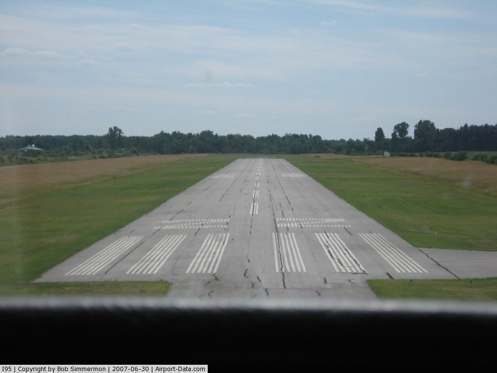
(Click on the photo to enlarge) |
 |
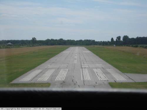
(Click on the photo to enlarge) |
Location & QuickFacts
| FAA Information Effective: | 2008-09-25 |
| Airport Identifier: | I95 |
| Airport Status: | Operational |
| Longitude/Latitude: | 083-38-36.9490W/40-36-38.5920N
-83.643597/40.610720 (Estimated) |
| Elevation: | 1024 ft / 312.12 m (Surveyed) |
| Land: | 110 acres |
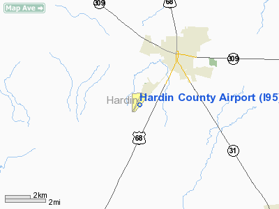
| From nearest city: | 3 nautical miles SW of Kenton, OH |
| Location: | Hardin County, OH |
| Magnetic Variation: | 01W (1965) |
Owner & Manager
| Ownership: | Publicly owned |
| Owner: | Hardin Co Arpt Auth |
| Address: | 13177 County Rd 130
Kenton, OH 43326 |
| Phone number: | 419-674-2222 |
| Manager: | Ed Mccormich |
| Address: | 13975 Co Rd 135
Kenton, OH 43326 |
| Phone number: | 419-673-9542 |
Airport Operations and Facilities
| Airport Use: | Open to public |
| Wind indicator: | Yes |
| Segmented Circle: | No |
| Control Tower: | No |
| Lighting Schedule: | DUSK-DAWN
ACTVT MIRL RY 04/22 - CTAF. |
| Beacon Color: | Clear-Green (lighted land airport) |
| Landing fee charge: | No |
| Sectional chart: | Detroit |
| Region: | AGL - Great Lakes |
| Traffic Pattern Alt: | 1000 ft |
| Boundary ARTCC: | ZID - Indianapolis |
| Tie-in FSS: | DAY - Dayton |
| FSS on Airport: | No |
| FSS Toll Free: | 1-800-WX-BRIEF |
| NOTAMs Facility: | DAY (NOTAM-d service avaliable) |
| Federal Agreements: | N |
Airport Communications
| CTAF: | 122.800 |
| Unicom: | 122.800 |
Airport Services
| Fuel available: | 100LLA1+ |
| Airframe Repair: | MAJOR |
| Power Plant Repair: | MAJOR |
| Bottled Oxygen: | NONE |
| Bulk Oxygen: | NONE |
Runway Information
Runway 04/22
| Dimension: | 4201 x 75 ft / 1280.5 x 22.9 m |
| Surface: | ASPH, Good Condition |
| Weight Limit: | Single wheel: 19000 lbs. |
| Edge Lights: | Medium |
| |
Runway 04 |
Runway 22 |
| Longitude: | 083-38-54.2630W | 083-38-19.4890W |
| Latitude: | 40-36-22.6220N | 40-36-54.5770N |
| Elevation: | 1024.00 ft | 1003.00 ft |
| Alignment: | 40 | 127 |
| Traffic Pattern: | Left | Left |
| Markings: | Non-precision instrument, Good Condition
RY 04/22 MARKINGS FADED. | Non-precision instrument, Good Condition |
| Runway End Identifier: | No | No |
| Obstruction: | 4 ft fence, 201.0 ft from runway, 205L/ ft right of centerline
RWY 04 4 FT FENCE 0-200 FT FM RY END 205 FT L. | 15 ft road, 201.0 ft from runway, 210 ft left of centerline
+15 FT ROAD 0-200 FT FM RY END 210-230 FT L. |
|
Radio Navigation Aids
| ID |
Type |
Name |
Ch |
Freq |
Var |
Dist |
| RUV | NDB | Rushsylvania | | 326.00 | 05W | 9.2 nm |
| EDJ | NDB | Bellefontaine | | 242.00 | 05W | 16.4 nm |
| LYL | NDB | Lima | | 362.00 | 04W | 18.2 nm |
| BNR | NDB | Benton Ridge | | 334.00 | 05W | 24.7 nm |
| MNN | NDB | Marion | | 201.00 | 05W | 26.2 nm |
| MRT | NDB | Marysville | | 403.00 | 05W | 26.7 nm |
| PDR | NDB | Ottawa | | 233.00 | 05W | 29.4 nm |
| DLZ | NDB | Delaware | | 215.00 | 06W | 31.8 nm |
| TII | NDB | Tiffin | | 269.00 | 05W | 35.4 nm |
| FZI | NDB | Fostoria | | 379.00 | 05W | 36.5 nm |
| OS | NDB | Fuler | | 515.00 | 05W | 38.2 nm |
| DKG | NDB | Don Scott | | 348.00 | 05W | 41.1 nm |
| UYF | NDB | London | | 263.00 | 06W | 41.5 nm |
| CQA | NDB | Lakefield | | 205.00 | 04W | 42.8 nm |
| CCJ | NDB | Clark County | | 341.00 | 04W | 44.7 nm |
| CHC | NDB | Grens | | 272.00 | 04W | 45.8 nm |
| VFU | NDB | Stanley | | 411.00 | 05W | 46.7 nm |
| VES | NDB | Versailles | | 356.00 | 04W | 47.0 nm |
| XSF | TACAN | Springfield | 065X | | 04W | 47.3 nm |
| AOH | VOR | Allen County | | 108.40 | 04W | 15.9 nm |
| MAH | VOR | Marathon | | 114.90 | 05W | 24.3 nm |
| BUD | VOR | Buckeye | | 109.80 | 05W | 26.5 nm |
| SGH | VOR/DME | Springfield | 079X | 113.20 | 04W | 47.4 nm |
| DQN | VOR/DME | Dayton | 092X | 114.50 | 01W | 49.7 nm |
| FDY | VORTAC | Findlay | 019X | 108.20 | 02W | 21.3 nm |
| ROD | VORTAC | Rosewood | 122X | 117.50 | 05W | 26.7 nm |
Remarks
- BIRDS ON & INVOF ARPT.
- VFR USE ONLY.
Images and information placed above are from
http://www.airport-data.com/airport/I95/
We thank them for the data!
| General Info
|
| Country |
United States
|
| State |
OHIO
|
| FAA ID |
I95
|
| Latitude |
40-36-38.592N
|
| Longitude |
083-38-36.949W
|
| Elevation |
1024 feet
|
| Near City |
KENTON
|
We don't guarantee the information is fresh and accurate. The data may
be wrong or outdated.
For more up-to-date information please refer to other sources.
|
|