 |
|
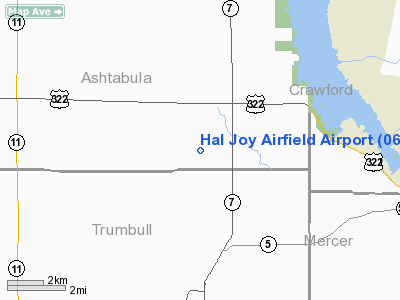
Location & QuickFacts
| FAA Information Effective: | 2008-09-25 |
| Airport Identifier: | 06OH |
| Airport Status: | Operational |
| Longitude/Latitude: | 080-35-28.2690W/41-30-35.1940N
-80.591186/41.509776 (Estimated) |
| Elevation: | 1160 ft / 353.57 m (Estimated) |
| Land: | 10 acres |
| From nearest city: | 2 nautical miles SW of Williamsfield, OH |
| Location: | Ashtabula County, OH |
| Magnetic Variation: | 07W (1985) |
Owner & Manager
| Ownership: | Privately owned |
| Owner: | Harold E Singrey |
| Address: | 8778 Ridge Rd
Williamsfield, OH 44093 |
| Phone number: | 216-293-8200 |
| Manager: | Harold E Singrey |
| Address: | 8778 Ridge Rd
Williamsfield, OH 44093 |
| Phone number: | 216-293-8200 |
Airport Operations and Facilities
| Airport Use: | Private |
| Wind indicator: | Yes |
| Segmented Circle: | No |
| Control Tower: | No |
| Sectional chart: | Detroit |
| Region: | AGL - Great Lakes |
| Boundary ARTCC: | ZOB - Cleveland |
| Tie-in FSS: | CLE - Cleveland |
| FSS Toll Free: | 1-800-WX-BRIEF |
Runway Information
Runway 09/27
| Dimension: | 2400 x 100 ft / 731.5 x 30.5 m |
| Surface: | TURF, |
| |
Runway 09 |
Runway 27 |
| Traffic Pattern: | Left | Left |
| Displaced threshold: | 100.00 ft | 0.00 ft |
| Obstruction: | 30 ft pline, 300.0 ft from runway | 20 ft trees, 600.0 ft from runway |
|
Radio Navigation Aids
| ID |
Type |
Name |
Ch |
Freq |
Var |
Dist |
| HBD | NDB | Hubbard | | 408.00 | 08W | 21.6 nm |
| UCP | NDB | Castle | | 272.00 | 09W | 30.3 nm |
| LQL | NDB | Lakeland | | 263.00 | 08W | 36.9 nm |
| CQD | NDB | Cascade | | 372.00 | 08W | 42.6 nm |
| AK | NDB | Akron | | 362.00 | 07W | 44.6 nm |
| BKL | NDB | Burke Lakefront | | 416.00 | 07W | 48.3 nm |
| ORJ | NDB | Corry | | 258.00 | 09W | 48.7 nm |
| FKL | VOR | Franklin | | 109.60 | 06W | 33.4 nm |
| JFN | VOR/DME | Jefferson | 099X | 115.20 | 05W | 16.6 nm |
| CXR | VOR/DME | Chardon | 074X | 112.70 | 05W | 25.7 nm |
| ACO | VOR/DME | Akron | 091X | 114.40 | 04W | 36.6 nm |
| LNN | VOR/DME | Lost Nation | 039X | 110.20 | 08W | 37.4 nm |
| YNG | VORTAC | Youngstown | 027X | 109.00 | 05W | 11.4 nm |
| ERI | VORTAC | Erie | 031X | 109.40 | 06W | 33.3 nm |
| EWC | VORTAC | Ellwood City | 105X | 115.80 | 08W | 44.6 nm |
Remarks
- PRVDD OBSTNS ARE REMOVED/LOWERED TO PRVD 20:1 APCH CLNC; 125 FT EITHER SIDE OF CNTRLN BE CLR OF OBSTNS.
Images and information placed above are from
http://www.airport-data.com/airport/06OH/
We thank them for the data!
| General Info
|
| Country |
United States
|
| State |
OHIO
|
| FAA ID |
06OH
|
| Latitude |
41-30-35.194N
|
| Longitude |
080-35-28.269W
|
| Elevation |
1160 feet
|
| Near City |
WILLIAMSFIELD
|
We don't guarantee the information is fresh and accurate. The data may
be wrong or outdated.
For more up-to-date information please refer to other sources.
|
|


