|
|
Griffing Sandusky Airport |
| Griffing Sandusky Airport |
| IATA: SKY – ICAO: KSKY – FAA LID: SKY |
| Summary |
| Airport type |
Public |
| Owner |
Griffing-Sandusky Airport, Inc. |
| Serves |
Sandusky, Ohio |
| Elevation AMSL |
580 ft / 177 m |
| Coordinates |
41°26′00″N 082°39′08″W / 41.4333333°N 82.65222°W / 41.4333333; -82.65222 |
| Runways |
| Direction |
Length |
Surface |
| ft |
m |
| 18/36 |
2,593 |
790 |
Asphalt |
| 9/27 |
3,559 |
1,085 |
Asphalt |
| Statistics (2008) |
| Aircraft operations |
112,100 |
| Based aircraft |
44 |
| Source: Federal Aviation Administration |
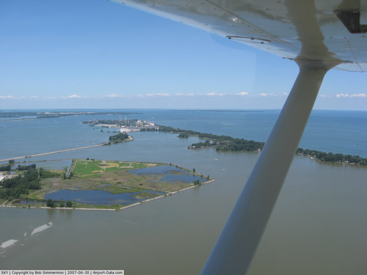
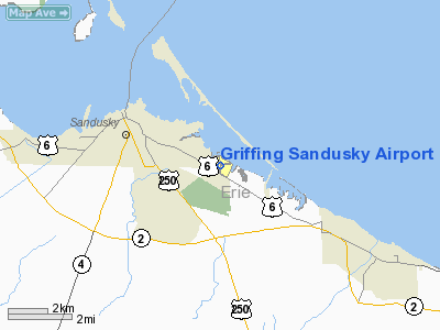
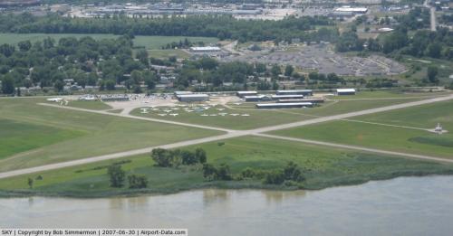
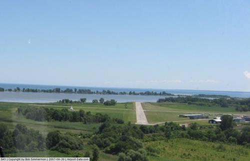
Griffing Sandusky Airport (IATA: SKY, ICAO: KSKY, FAA LID: SKY) is a public use airport in Erie County, Ohio, United States. It is located adjacent to Sandusky Bay, three nautical miles (6 km) southeast of the central business district of the city of Sandusky.
Facilities and aircraft
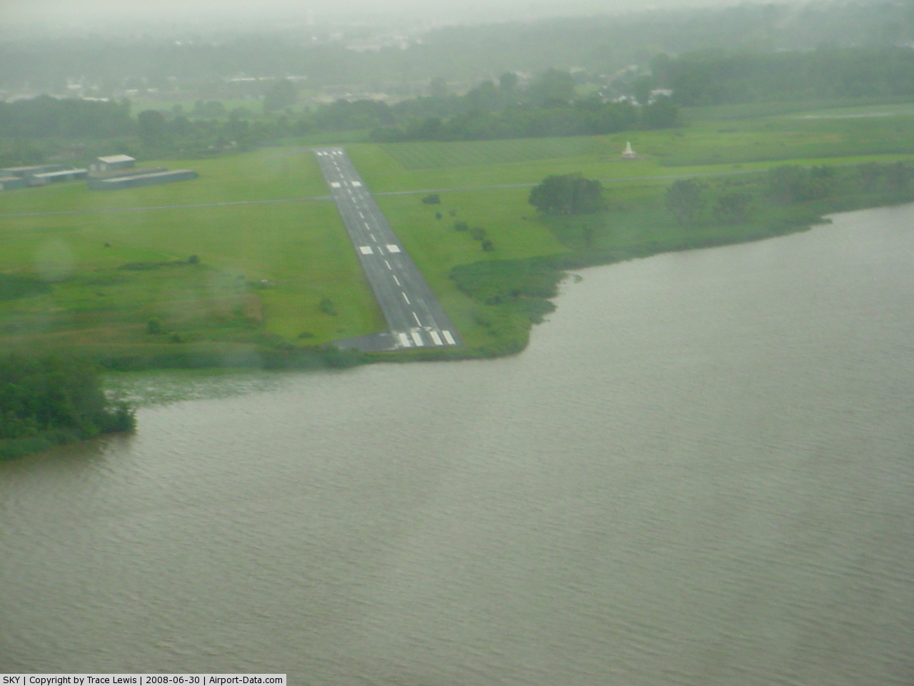
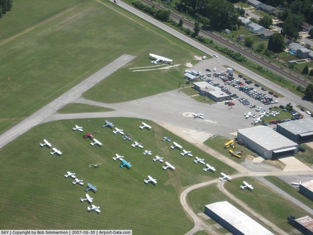
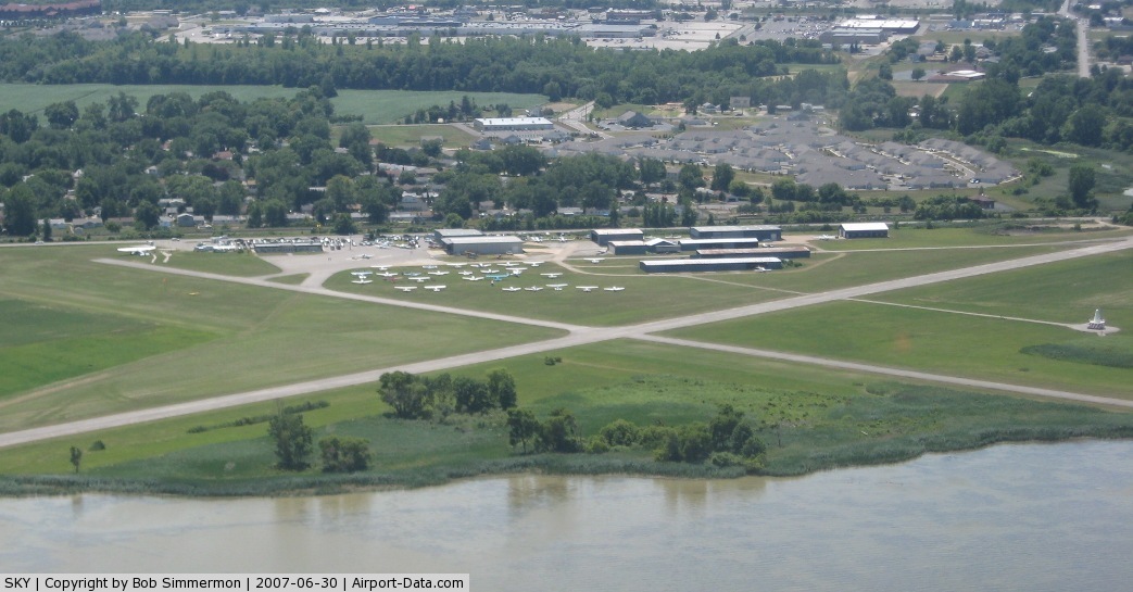
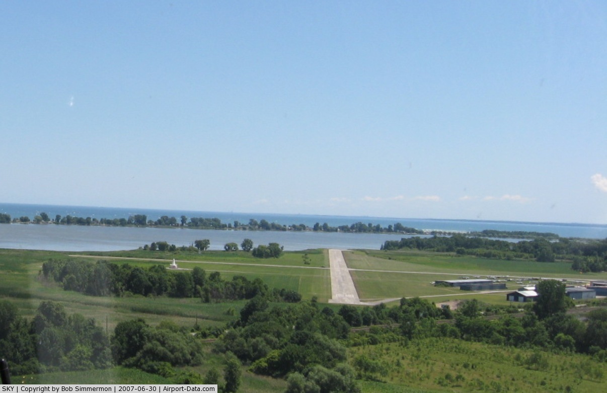
Griffing Sandusky Airport covers an area of 133 acres (54 ha) at an elevation of 580 feet (177 m) above mean sea level. It has two asphalt paved runways: 18/36 is 2,593 by 40 feet (790 x 12 m) and 9/27 is 3,559 by 60 feet (1,085 x 18 m).
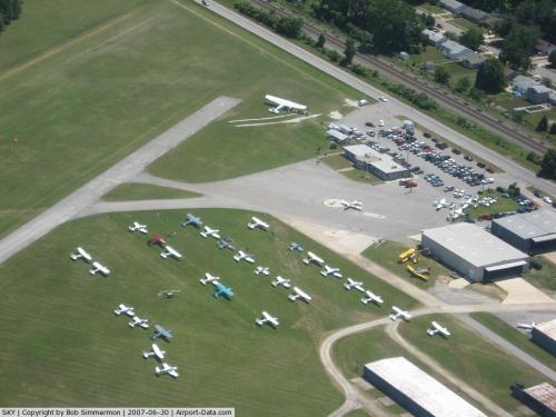
For the 12-month period ending May 6, 2008, the airport had 112,100 aircraft operations, an average of 307 per day: 58% general aviation, 40% air taxi and 1% military. At that time there were 44 aircraft based at this airport: 79.5% single-engine and 20.5% multi-engine.
The above content comes from Wikipedia and is published under free licenses – click here to read more.
 |
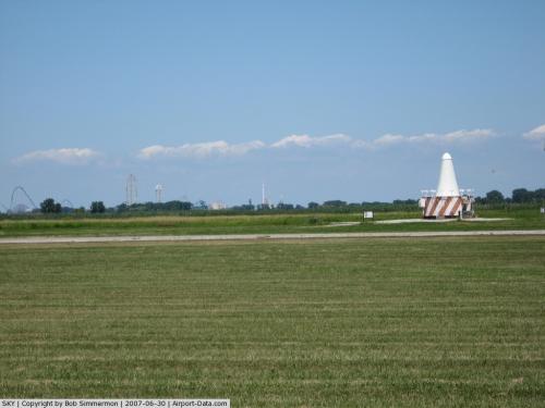
(Click on the photo to enlarge) |
 |
(Click on the photo to enlarge) |
 |
(Click on the photo to enlarge) |
 |
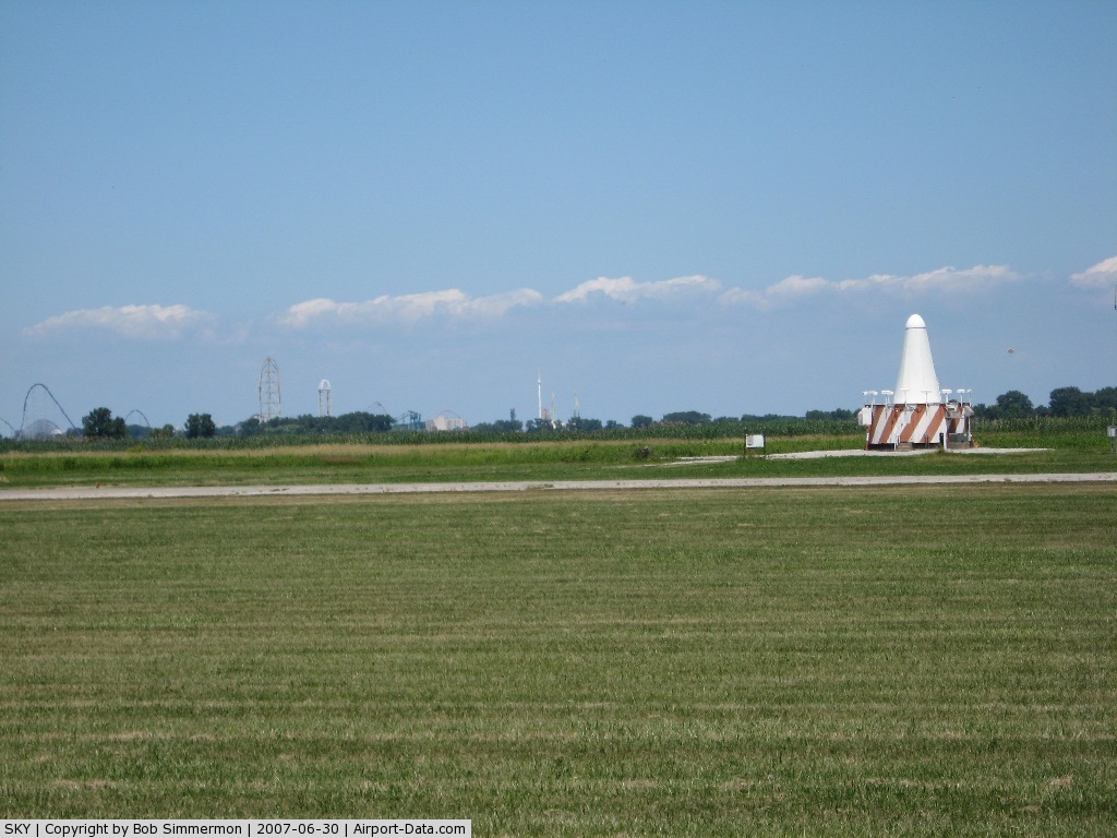
(Click on the photo to enlarge) |
 |
(Click on the photo to enlarge) |
 |
(Click on the photo to enlarge) |
Location & QuickFacts
| FAA Information Effective: | 2008-09-25 |
| Airport Identifier: | SKY |
| Airport Status: | Operational |
| Longitude/Latitude: | 082-39-08.4000W/41-26-00.1000N
-82.652333/41.433361 (Estimated) |
| Elevation: | 580 ft / 176.78 m (Surveyed) |
| Land: | 133 acres |
| From nearest city: | 3 nautical miles SE of Sandusky, OH |
| Location: | Erie County, OH |
| Magnetic Variation: | 05W (1985) |
Owner & Manager
| Ownership: | Privately owned |
| Owner: | Griffing-sandusky Arpt, Inc. |
| Address: | 3115 Cleveland Rd
Sandusky, OH 44870 |
| Phone number: | 419-626-8775 |
| Manager: | Tom Griffing |
| Address: | 3115 Cleveland Rd
Sandusky, OH 44870 |
| Phone number: | 419-626-5161 |
Airport Operations and Facilities
| Airport Use: | Open to public |
| Wind indicator: | Yes |
| Segmented Circle: | Yes |
| Control Tower: | No |
| Lighting Schedule: | DUSK-DAWN |
| Beacon Color: | Clear-Green (lighted land airport) |
| Landing fee charge: | Yes |
| Sectional chart: | Detroit |
| Region: | AGL - Great Lakes |
| Boundary ARTCC: | ZOB - Cleveland |
| Tie-in FSS: | CLE - Cleveland |
| FSS on Airport: | No |
| FSS Toll Free: | 1-800-WX-BRIEF |
| NOTAMs Facility: | CLE (NOTAM-d service avaliable) |
Airport Communications
| CTAF: | 123.000 |
| Unicom: | 123.000 |
Airport Services
| Fuel available: | 100LLA |
| Airframe Repair: | MAJOR |
| Power Plant Repair: | MAJOR |
| Bottled Oxygen: | NONE |
| Bulk Oxygen: | NONE |
Runway Information
Runway 09/27
| Dimension: | 3559 x 60 ft / 1084.8 x 18.3 m |
| Surface: | ASPH,
SURFACE IS HEAVILY WEATHERED, WITH HIGH SEVERITY CRACKING, CREATING FOD POTENTIAL. |
| Weight Limit: | Single wheel: 9000 lbs. |
| Edge Lights: | Low |
| |
Runway 09 |
Runway 27 |
| Longitude: | 082-39-30.1560W | 082-38-43.5730W |
| Latitude: | 41-25-58.3800N | 41-26-01.1470N |
| Elevation: | 576.00 ft | 576.00 ft |
| Alignment: | 85 | 127 |
| Traffic Pattern: | Left | Left |
| Markings: | Non-precision instrument, Good Condition
RWY 09/27 AND 18/36 MARKINGS POOR - WEATHERED | Non-precision instrument, Good Condition |
| Displaced threshold: | 183.00 ft | 0.00 ft |
| VASI: | | 4-light PAPI on left side |
| Runway End Identifier: | Yes | Yes |
| Centerline Lights: | No | No |
| Touchdown Lights: | No | No |
| Obstruction: | 17 ft road, 201.0 ft from runway, 176 ft right of centerline
RWY 09 APPROACH RATIO 6:1 OVER ADDITIONAL OBSTRUCTION + 48 FT TREE 290' FM 110 FT L.
RWY 09 +17 FT RD 95 FT FM250 FT R; +48 FT TREE 112 FT FM 110 FT L, +12 FT MOUND 0 FT FM 160 FT L. | 43 ft trees, 321.0 ft from runway, 253 ft left of centerline, 2:1 slope to clear
+6 FT BRUSH 0 FT FM L/R. |
|
Runway 18/36
| Dimension: | 2593 x 40 ft / 790.3 x 12.2 m |
| Surface: | ASPH,
SURFACE IS HEAVILY WEATHERED, WITH HIGH SEVERITY CRACKING, CREATING FOD POTENTIAL. |
| Edge Lights: | Low |
| |
Runway 18 |
Runway 36 |
| Longitude: | 082-39-11.6680W | 082-39-09.1580W |
| Latitude: | 41-26-13.3570N | 41-25-47.8140N |
| Elevation: | 574.00 ft | 580.00 ft |
| Alignment: | 127 | 127 |
| Traffic Pattern: | Left | Left |
| Markings: | Non-precision instrument, Good Condition | Non-precision instrument, Good Condition
RWY 18/36 MARKINGS POOR - WEATHERED |
| Displaced threshold: | 0.00 ft | 405.00 ft |
| Runway End Identifier: | No | No |
| Centerline Lights: | No | No |
| Touchdown Lights: | No | No |
| Obstruction: | , 50:1 slope to clear | 16 ft road, 201.0 ft from runway, 66 ft left of centerline
RWY 36 APCH RATIO 3:1 OVER ADDL OBSTN +87 FT TREE 301 FT FM THLD 110 FT L.
+16 FT RD 157 FT FM 125 FT L. |
|
Radio Navigation Aids
| ID |
Type |
Name |
Ch |
Freq |
Var |
Dist |
| PCW | NDB | Port Clinton | | 423.00 | 06W | 11.0 nm |
| PT | NDB | Pelee Island | | 283.00 | 05W | 20.8 nm |
| CL | NDB | Harri | | 344.00 | 07W | 31.5 nm |
| TII | NDB | Tiffin | | 269.00 | 05W | 32.2 nm |
| AAU | NDB | Ashland | | 329.00 | 07W | 33.5 nm |
| FZI | NDB | Fostoria | | 379.00 | 05W | 36.7 nm |
| MF | NDB | Manns | | 372.00 | 06W | 41.2 nm |
| EZE | NDB | Engel | | 226.00 | 07W | 42.0 nm |
| BKL | NDB | Burke Lakefront | | 416.00 | 07W | 44.9 nm |
| RYS | NDB | Grosse Ile | | 419.00 | 06W | 46.0 nm |
| SKY | VOR/DME | Sandusky | 029X | 109.20 | 04W | 0.1 nm |
| DJB | VOR/DME | Dryer | 083X | 113.60 | 05W | 22.6 nm |
| VWV | VOR/DME | Waterville | 078X | 113.10 | 02W | 44.5 nm |
| YQG | VOR/DME | Windsor | 085X | 113.80 | 06W | 49.7 nm |
| MFD | VORTAC | Mansfield | 025X | 108.80 | 03W | 34.1 nm |
| CLE | VOT | Cleveland | | 110.40 | | 36.2 nm |
Remarks
- WATERFOWL BIRD HAZARD ADJ TO ARPT.
- DEER ON & INVOF ARPT.
Images and information placed above are from
http://www.airport-data.com/airport/SKY/
We thank them for the data!
| General Info
|
| Country |
United States
|
| State |
OHIO
|
| FAA ID |
SKY
|
| Latitude |
41-26-00.100N
|
| Longitude |
082-39-08.400W
|
| Elevation |
580 feet
|
| Near City |
SANDUSKY
|
We don't guarantee the information is fresh and accurate. The data may
be wrong or outdated.
For more up-to-date information please refer to other sources.
|
|