 |
|
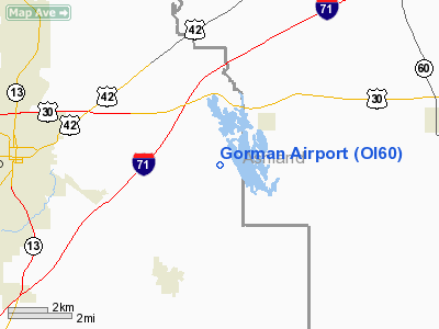
Location & QuickFacts
| FAA Information Effective: | 2008-09-25 |
| Airport Identifier: | OI60 |
| Airport Status: | Operational |
| Longitude/Latitude: | 082-23-29.5910W/40-45-17.2050N
-82.391553/40.754779 (Estimated) |
| Elevation: | 1230 ft / 374.90 m (Estimated) |
| Land: | 0 acres |
| From nearest city: | 7 nautical miles E of Mansfield, OH |
| Location: | Richland County, OH |
| Magnetic Variation: | 06W (1985) |
Owner & Manager
| Ownership: | Privately owned |
| Owner: | Jeffrey S. Gorman |
| Address: | Po Box 1667
Mansfield, OH 44901 |
| Phone number: | 419-589-9464 |
| Manager: | Jeffrey S. Gorman |
| Address: | Po Box 1667
Mansfield, OH 44901 |
| Phone number: | 419-589-9464 |
Airport Operations and Facilities
| Airport Use: | Private |
| Wind indicator: | Yes |
| Segmented Circle: | No |
| Control Tower: | No |
| Lighting Schedule: | PHONE REQ
FOR LIRL RY 03/21 CALL 419-589-9464. |
| Sectional chart: | Detroit |
| Region: | AGL - Great Lakes |
| Boundary ARTCC: | ZOB - Cleveland |
| Tie-in FSS: | CLE - Cleveland |
| FSS on Airport: | No |
| FSS Toll Free: | 1-800-WX-BRIEF |
Runway Information
Runway 03/21
| Dimension: | 1400 x 60 ft / 426.7 x 18.3 m |
| Surface: | TURF, |
| Edge Lights: | Low |
| |
Runway 03 |
Runway 21 |
| Traffic Pattern: | Right | Left |
|
Radio Navigation Aids
| ID |
Type |
Name |
Ch |
Freq |
Var |
Dist |
| MF | NDB | Manns | | 372.00 | 06W | 2.5 nm |
| AAU | NDB | Ashland | | 329.00 | 07W | 14.0 nm |
| MLR | NDB | Millersburg/dcmsnd | | 382.00 | 06W | 26.9 nm |
| MNN | NDB | Marion | | 201.00 | 05W | 32.0 nm |
| CL | NDB | Harri | | 344.00 | 07W | 40.1 nm |
| TII | NDB | Tiffin | | 269.00 | 05W | 42.4 nm |
| DLZ | NDB | Delaware | | 215.00 | 06W | 43.4 nm |
| HEH | NDB | Newark | | 524.00 | 06W | 43.9 nm |
| CM | NDB | Sumie | | 391.00 | 05W | 49.1 nm |
| AK | NDB | Akron | | 362.00 | 07W | 49.4 nm |
| BUD | VOR | Buckeye | | 109.80 | 05W | 31.7 nm |
| TVT | VOR/DME | Tiverton | 112X | 116.50 | 03W | 21.5 nm |
| DJB | VOR/DME | Dryer | 083X | 113.60 | 05W | 37.7 nm |
| SKY | VOR/DME | Sandusky | 029X | 109.20 | 04W | 42.6 nm |
| BSV | VOR/DME | Briggs | 071X | 112.40 | 04W | 43.7 nm |
| MFD | VORTAC | Mansfield | 025X | 108.80 | 03W | 11.4 nm |
| APE | VORTAC | Appleton | 114X | 116.70 | 06W | 37.4 nm |
| CAK | VOT | Akron/canton Regional | | 110.60 | | 44.3 nm |
| CLE | VOT | Cleveland | | 110.40 | | 46.4 nm |
Remarks
- E111: INSUFFICIENT AIRSPACE AVBL TO ESTABLISH COMPATIBLE ARPT TRAFFIC PATTERNS FOR BOTH THE GORMAN AIR ARPT & EXISTING RALL ARPT.
Images and information placed above are from
http://www.airport-data.com/airport/OI60/
We thank them for the data!
| General Info
|
| Country |
United States
|
| State |
OHIO
|
| FAA ID |
OI60
|
| Latitude |
40-45-17.205N
|
| Longitude |
082-23-29.591W
|
| Elevation |
1230 feet
|
| Near City |
MANSFIELD
|
We don't guarantee the information is fresh and accurate. The data may
be wrong or outdated.
For more up-to-date information please refer to other sources.
|
|


