 |
|
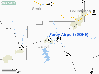
Location & QuickFacts
| FAA Information Effective: | 2008-09-25 |
| Airport Identifier: | 5OH9 |
| Airport Status: | Operational |
| Longitude/Latitude: | 081-10-45.0000W/40-41-49.9000N
-81.179167/40.697194 (Estimated) |
| Elevation: | 1050 ft / 320.04 m (Estimated) |
| Land: | 0 acres |
| From nearest city: | 1 nautical miles N of Malvern, OH |
| Location: | Carroll County, OH |
| Magnetic Variation: | 07W (1995) |
Owner & Manager
| Ownership: | Privately owned |
| Owner: | John Furey |
| Address: | 8050 Avalon Dr Nw
Malvern, OH 44644 |
| Phone number: | 330-863-1144 |
| Manager: | John Furey |
| Address: | 8050 Avalon Dr Nw
Malvern, OH 44644 |
| Phone number: | 330-863-1144 |
Airport Operations and Facilities
| Airport Use: | Private |
| Segmented Circle: | No |
| Control Tower: | No |
| Sectional chart: | Detroit |
| Region: | AGL - Great Lakes |
| Boundary ARTCC: | ZOB - Cleveland |
| Tie-in FSS: | CLE - Cleveland |
| FSS Toll Free: | 1-800-WX-BRIEF |
Runway Information
Runway 09/27
| Dimension: | 2640 x 50 ft / 804.7 x 15.2 m |
| Surface: | TURF, |
| |
Runway 09 |
Runway 27 |
| Traffic Pattern: | Left | Left |
| Displaced threshold: | 600.00 ft | 200.00 ft |
| Obstruction: | 30 ft trees, 200.0 ft from runway | 15 ft road, 10.0 ft from runway |
|
Radio Navigation Aids
| ID |
Type |
Name |
Ch |
Freq |
Var |
Dist |
| TSO | NDB | Tolson | | 395.00 | 07W | 9.3 nm |
| AK | NDB | Akron | | 362.00 | 07W | 24.3 nm |
| CFX | NDB | Cadiz | | 239.00 | 07W | 28.7 nm |
| MLR | NDB | Millersburg/dcmsnd | | 382.00 | 06W | 33.0 nm |
| UCP | NDB | Castle | | 272.00 | 09W | 39.8 nm |
| HBD | NDB | Hubbard | | 408.00 | 08W | 40.2 nm |
| BSV | VOR/DME | Briggs | 071X | 112.40 | 04W | 11.8 nm |
| ACO | VOR/DME | Akron | 091X | 114.40 | 04W | 24.7 nm |
| CTW | VOR/DME | Newcomerstown | 055X | 111.80 | 07W | 31.2 nm |
| HLG | VOR/DME | Wheeling | 059X | 112.20 | 07W | 38.3 nm |
| AIR | VOR/DME | Bellaire | 118X | 117.10 | 07W | 44.1 nm |
| TVT | VOR/DME | Tiverton | 112X | 116.50 | 03W | 45.6 nm |
| CXR | VOR/DME | Chardon | 074X | 112.70 | 05W | 49.3 nm |
| YNG | VORTAC | Youngstown | 027X | 109.00 | 05W | 44.4 nm |
| EWC | VORTAC | Ellwood City | 105X | 115.80 | 08W | 44.7 nm |
| MMJ | VORTAC | Montour | 057X | 112.00 | 08W | 46.7 nm |
| CAK | VOT | Akron/canton Regional | | 110.60 | | 17.8 nm |
Remarks
- RY 09 HAS 12 FT POWER LINE 100 FT FM THLD L & R OF CNTRLN.
- PRVDD CLEAR 20:1 APCH & CLEAR OBSTACLE FREE ZONE.
Images and information placed above are from
http://www.airport-data.com/airport/5OH9/
We thank them for the data!
| General Info
|
| Country |
United States
|
| State |
OHIO
|
| FAA ID |
5OH9
|
| Latitude |
40-41-49.900N
|
| Longitude |
081-10-45.000W
|
| Elevation |
1050 feet
|
| Near City |
MALVERN
|
We don't guarantee the information is fresh and accurate. The data may
be wrong or outdated.
For more up-to-date information please refer to other sources.
|
|


