|
|
 |
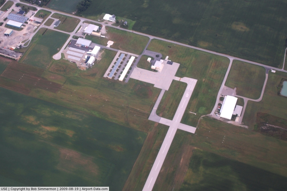
(Click on the photo to enlarge) |
 |
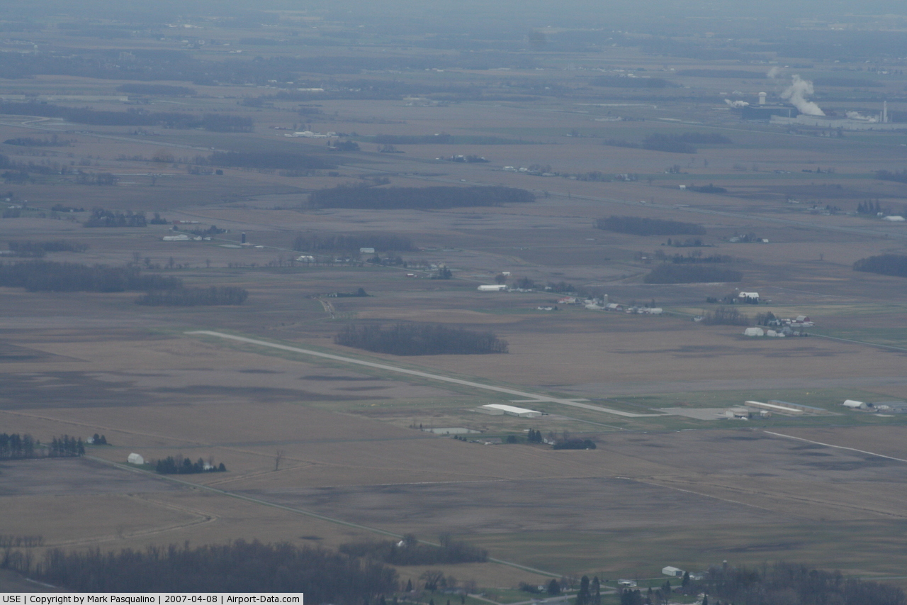
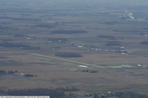
(Click on the photo to enlarge) |
 |
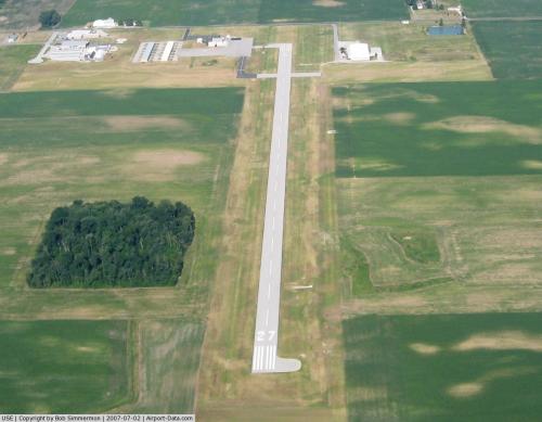
(Click on the photo to enlarge) |
Location & QuickFacts
| FAA Information Effective: | 2008-09-25 |
| Airport Identifier: | USE |
| Airport Status: | Operational |
| Longitude/Latitude: | 084-07-37.9000W/41-36-36.5000N
-84.127194/41.610139 (Estimated) |
| Elevation: | 779 ft / 237.44 m (Surveyed) |
| Land: | 42 acres |
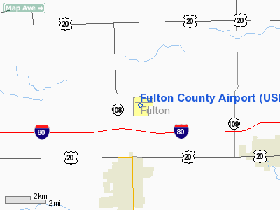
| From nearest city: | 4 nautical miles N of Wauseon, OH |
| Location: | Fulton County, OH |
| Magnetic Variation: | 05W (1995) |
Owner & Manager
| Ownership: | Publicly owned |
| Owner: | Fulton Co Commissioners |
| Address: | Court House
Wauseon, OH 43567 |
| Phone number: | 419-337-9255 |
| Manager: | Andrew Wheeler |
| Address: | 9460 Country Rd. 14
Wauseon, OH 43567 |
| Phone number: | 419-337-9630 |
Airport Operations and Facilities
| Airport Use: | Open to public |
| Wind indicator: | Yes |
| Segmented Circle: | No |
| Control Tower: | No |
| Lighting Schedule: | DUSK-DAWN
ACTVT LIRL RY 09/27; REIL RYS 09 & 27; PAPI RYS 09 & 27 - CTAF. |
| Beacon Color: | Clear-Green (lighted land airport) |
| Landing fee charge: | No |
| Sectional chart: | Detroit |
| Region: | AGL - Great Lakes |
| Boundary ARTCC: | ZOB - Cleveland |
| Tie-in FSS: | CLE - Cleveland |
| FSS on Airport: | No |
| FSS Toll Free: | 1-800-WX-BRIEF |
| NOTAMs Facility: | CLE (NOTAM-d service avaliable) |
| Federal Agreements: | N |
Airport Communications
| CTAF: | 123.000 |
| Unicom: | 123.000 |
Airport Services
| Fuel available: | 100LLA A1+
100LL SELF SERVE. |
| Airframe Repair: | MAJOR |
| Power Plant Repair: | MAJOR |
| Bulk Oxygen: | NONE |
Runway Information
Runway 09/27
| Dimension: | 3882 x 75 ft / 1183.2 x 22.9 m |
| Surface: | ASPH, Good Condition
384 FT OF CNTR SECTION PAVED. FIRST 1050 FT OF RY 18 TURF AND FIRST 666 FT OF RY 36 TURF. |
| Weight Limit: | Single wheel: 30000 lbs. |
| Edge Lights: | Low |
| |
Runway 09 |
Runway 27 |
| Longitude: | 084-07-57.4767W | 084-07-06.3881W |
| Latitude: | 41-36-36.9346N | 41-36-37.5484N |
| Elevation: | 779.00 ft | 770.00 ft |
| Alignment: | 89 | 127 |
| Traffic Pattern: | Left | Right |
| Markings: | Non-precision instrument, Good Condition | Non-precision instrument, Good Condition |
| VASI: | 4-light PAPI on left side | 4-light PAPI on right side |
| Runway End Identifier: | Yes | Yes
OTS INDEFLY. |
| Centerline Lights: | No | No |
| Touchdown Lights: | No | No |
| Obstruction: | 15 ft road, 448.0 ft from runway, 16:1 slope to clear
+10 FT ACFT RAMP/PARKING 0 FT TO 142 FT FM 202 FT TO 250 FT R. | 55 ft trees, 1292.0 ft from runway, 407 ft left of centerline, 19:1 slope to clear
2 FT CROPS 150 FT TO 200 FT FM LT & RT. |
|
Runway 18/36
| Dimension: | 2117 x 75 ft / 645.3 x 22.9 m |
| Surface: | ASPH-TURF, Good Condition
384 FT OF CNTR SECTION PAVED. FIRST 1050 FT OF RY 18 TURF AND FIRST 666 FT OF RY 36 TURF. |
| |
Runway 18 |
Runway 36 |
| Longitude: | 084-07-48.8282W | 084-07-48.7900W |
| Latitude: | 41-36-45.6809N | 41-36-24.7707N |
| Elevation: | 777.00 ft | 780.00 ft |
| Alignment: | 127 | 127 |
| Traffic Pattern: | Left | Left |
| Obstruction: | 97 ft trees, 2345.0 ft from runway, 111 ft left of centerline, 24:1 slope to clear | 75 ft tree, 1569.0 ft from runway, 222 ft right of centerline, 20:1 slope to clear |
|
Radio Navigation Aids
| ID |
Type |
Name |
Ch |
Freq |
Var |
Dist |
| USE | NDB | Fulton | | 375.00 | 05W | 0.3 nm |
| ADG | NDB | Adrian | | 278.00 | 06W | 15.8 nm |
| BYN | NDB | Bryan | | 260.00 | 04W | 17.1 nm |
| DFI | NDB | Defiance | | 246.00 | 05W | 21.4 nm |
| TCU | NDB | Tecumseh | | 239.00 | 04W | 27.9 nm |
| PDR | NDB | Ottawa | | 233.00 | 05W | 35.5 nm |
| BNR | NDB | Benton Ridge | | 334.00 | 05W | 41.0 nm |
| FZI | NDB | Fostoria | | 379.00 | 05W | 41.6 nm |
| ANQ | NDB | Angola | | 347.00 | 05W | 43.2 nm |
| TOL | TACAN | Toledo | 072X | | 05W | 14.8 nm |
| MAH | VOR | Marathon | | 114.90 | 05W | 41.4 nm |
| VWV | VOR/DME | Waterville | 078X | 113.10 | 02W | 24.0 nm |
| LFD | VOR/DME | Litchfield | 049X | 111.20 | 05W | 39.4 nm |
| JXN | VOR/DME | Jackson | 033X | 109.60 | 05W | 41.7 nm |
| DXO | VOR/DME | Detroit | 081X | 113.40 | 06W | 49.7 nm |
| CRL | VORTAC | Carleton | 104X | 115.70 | 03W | 39.9 nm |
| FDY | VORTAC | Findlay | 019X | 108.20 | 02W | 42.8 nm |
| YIP | VOT | Willow Run | | 112.00 | | 46.2 nm |
Remarks
- DEER OCCASIONALLY ON RY
- TWY CLSD INDEFLY.
Images and information placed above are from
http://www.airport-data.com/airport/USE/
We thank them for the data!
| General Info
|
| Country |
United States
|
| State |
OHIO
|
| FAA ID |
USE
|
| Latitude |
41-36-36.500N
|
| Longitude |
084-07-37.900W
|
| Elevation |
779 feet
|
| Near City |
WAUSEON
|
We don't guarantee the information is fresh and accurate. The data may
be wrong or outdated.
For more up-to-date information please refer to other sources.
|
|