|
|
| Findlay Airport |
 |
| IATA: FDY – ICAO: KFDY – FAA LID: FDY |
| Summary |
| Airport type |
Public |
| Owner |
City of Findlay |
| Serves |
Findlay, Ohio |
| Elevation AMSL |
813 ft / 248 m |
| Coordinates |
41°00′43″N 083°40′07″W / 41.01194°N 83.66861°W / 41.01194; -83.66861 |
| Runways |
| Direction |
Length |
Surface |
| ft |
m |
| 7/25 |
5,883 |
1,793 |
Asphalt |
| 18/36 |
6,498 |
1,981 |
Asphalt |
| Statistics (2006) |
| Aircraft operations |
19,800 |
| Based aircraft |
27 |
| Source: Federal Aviation Administration |
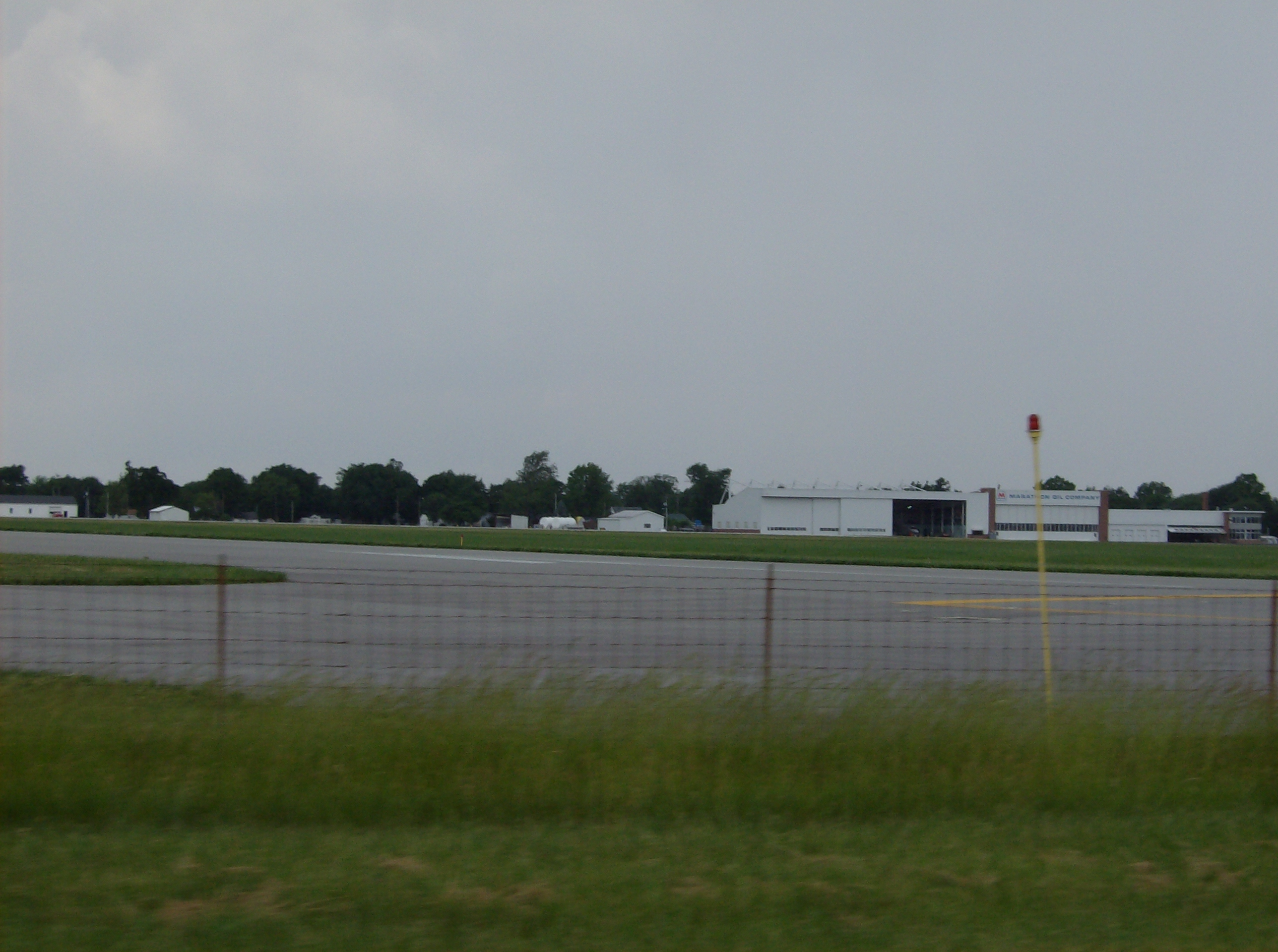
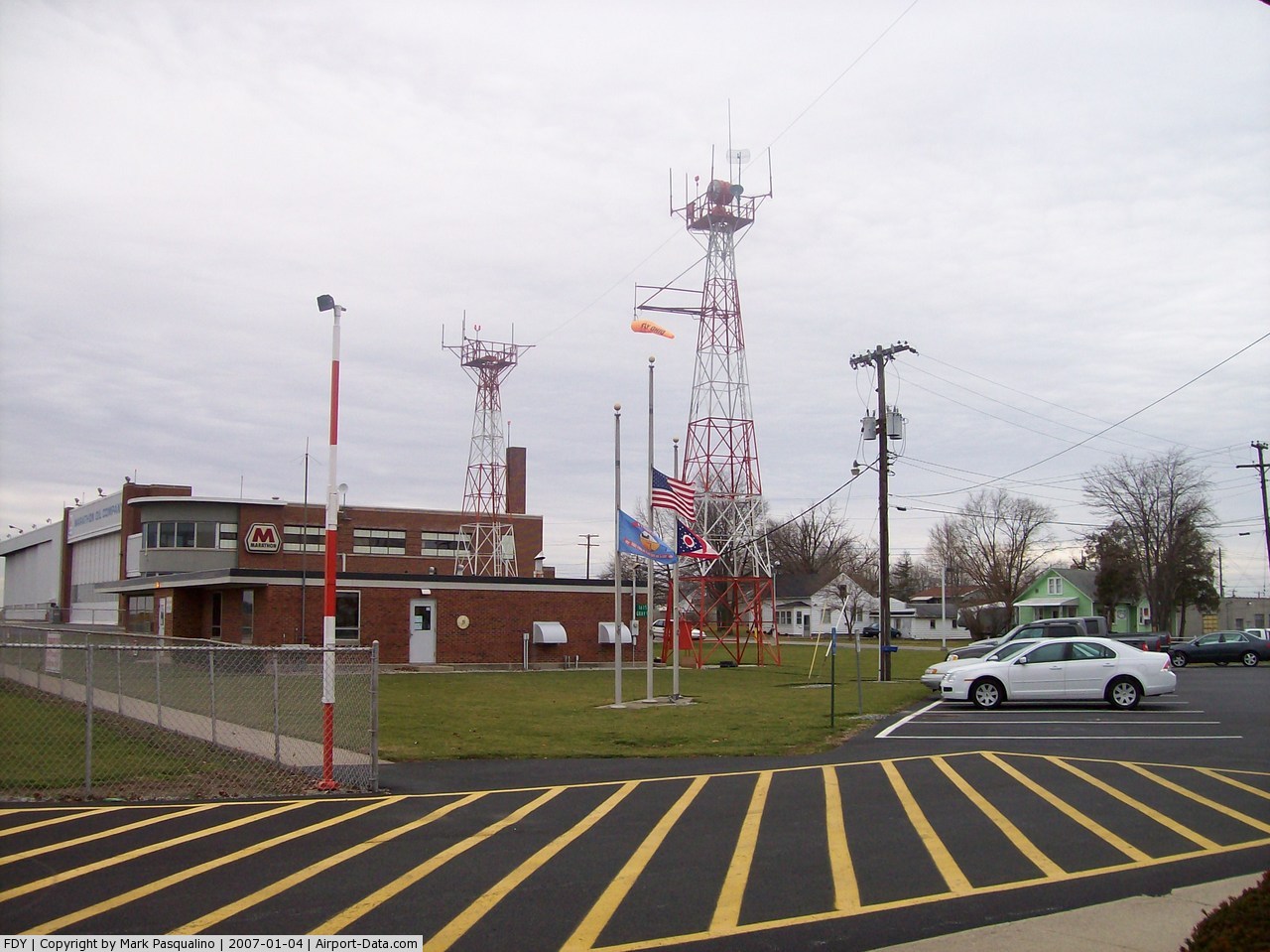
Findlay Airport (IATA: FDY, ICAO: KFDY, FAA LID: FDY) is a city-owned public-use airport located one nautical mile (1.6 km) southwest of the central business district of Findlay, a city in Hancock County, Ohio, United States.
Facilities and aircraft
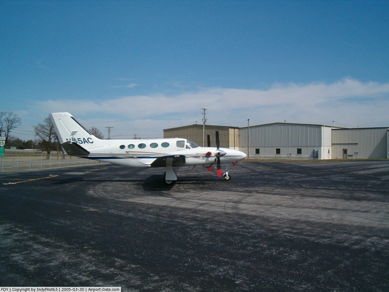
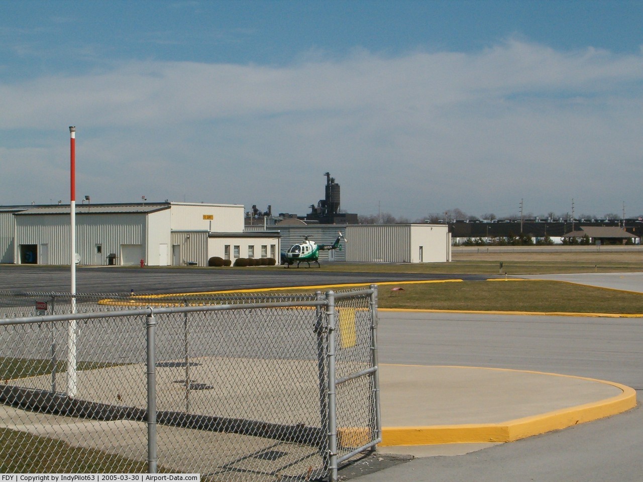
Findlay Airport covers an area of 338 acres (137 ha) at an elevation of 813 feet (248 m) above mean sea level. It has two runways: 7/25 with a 5,883 by 100 ft (1,793 x 30 m) asphalt pavement and 18/36 with a 6,498 by 100 feet (1,981 x 30 m) an asphalt surface. For the 12-month period ending October 18, 2006, the airport had 19,800 aircraft operations, an average of 54 per day: 96% general aviation, 2% air taxi and 2% military. At that time there were 27 aircraft based at this airport: 74% single-engine, 7% multi-engine, 15% jet and 4% helicopter.
The above content comes from Wikipedia and is published under free licenses – click here to read more.
 |
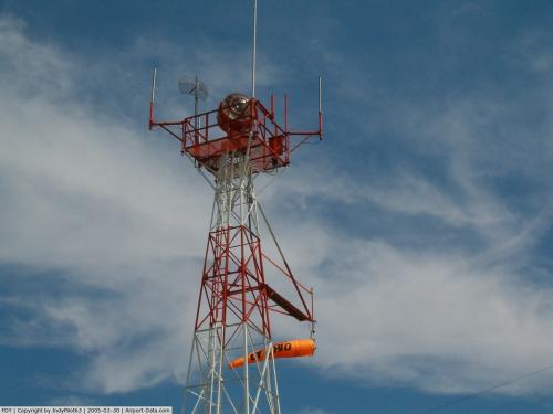
(Click on the photo to enlarge) |
 |
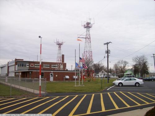
(Click on the photo to enlarge) |
 |
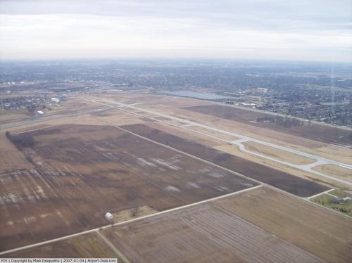
(Click on the photo to enlarge) |
 |
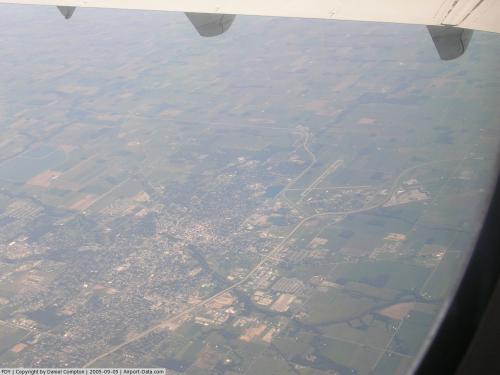
(Click on the photo to enlarge) |
 |
(Click on the photo to enlarge) |
 |
(Click on the photo to enlarge) |
 |
(Click on the photo to enlarge) |
Location & QuickFacts
| FAA Information Effective: | 2008-09-25 |
| Airport Identifier: | FDY |
| Airport Status: | Operational |
| Longitude/Latitude: | 083-40-07.0000W/41-00-43.3000N
-83.668611/41.012028 (Estimated) |
| Elevation: | 813 ft / 247.80 m (Surveyed) |
| Land: | 338 acres |
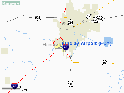
| From nearest city: | 1 nautical miles SW of Findlay, OH |
| Location: | Hancock County, OH |
| Magnetic Variation: | 05W (1985) |
Owner & Manager
| Ownership: | Publicly owned |
| Owner: | City Of Findlay |
| Address: | 310 Municipal Building
Findlay, OH 45840 |
| Phone number: | 419-424-7137 |
| Manager: | Robert Johnston |
| Address: | 1615 Gray Street
Findlay, OH 45840 |
| Phone number: | 419-424-7117 |
Airport Operations and Facilities
| Airport Use: | Open to public |
| Wind indicator: | Yes |
| Segmented Circle: | No |
| Control Tower: | No |
| Lighting Schedule: | DUSK-DAWN
ACTVT HIRL RYS 07/25 & 18/36; REIL RYS 07, 25, 18 &36-CTAF. PAPI RYS 07; 18; 25 & 36 OPR 24 HRS. |
| Beacon Color: | Clear-Green (lighted land airport) |
| Landing fee charge: | Yes |
| Sectional chart: | Detroit |
| Region: | AGL - Great Lakes |
| Boundary ARTCC: | ZOB - Cleveland |
| Tie-in FSS: | CLE - Cleveland |
| FSS on Airport: | No |
| FSS Toll Free: | 1-800-WX-BRIEF |
| NOTAMs Facility: | FDY (NOTAM-d service avaliable) |
| Federal Agreements: | N |
Airport Communications
| CTAF: | 122.725 |
| Unicom: | 122.725 |
Airport Services
| Fuel available: | 100LLA |
| Bottled Oxygen: | NONE |
| Bulk Oxygen: | LOW |
Runway Information
Runway 07/25
| Dimension: | 5883 x 100 ft / 1793.1 x 30.5 m |
| Surface: | ASPH,
SURFACE HAS CRACKS AND LOOSE AGGREGATE. |
| Weight Limit: | Single wheel: 100000 lbs.
Dual wheel: 160000 lbs.
Dual tandem wheel: 280000 lbs. |
| Edge Lights: | High |
| |
Runway 07 |
Runway 25 |
| Longitude: | 083-40-52.2600W | 083-39-40.7725W |
| Latitude: | 41-00-41.0772N | 41-01-02.2188N |
| Elevation: | 794.00 ft | 806.00 ft |
| Alignment: | 69 | 127 |
| Traffic Pattern: | Left | Left |
| Markings: | Non-precision instrument, Good Condition | Non-precision instrument, Good Condition |
| Crossing Height: | 39.00 ft | 36.00 ft |
| Displaced threshold: | 324.00 ft | 999.00 ft |
| VASI: | 4-light PAPI on left side | 4-light PAPI on left side |
| Visual Glide Angle: | 3.00° | 3.50° |
| Runway End Identifier: | Yes | Yes |
| Centerline Lights: | No | No |
| Touchdown Lights: | No | No |
| Obstruction: | 47 ft bridge, 1420.0 ft from runway, 300 ft left of centerline, 25:1 slope to clear
APCH RATIO 17:1 AT DSPLCD THLD TO ADDITIONAL OBSTRUCTION + 55' TREES 1180' FROM 380'L. | 18 ft road, 201.0 ft from runway
+12 FT BLAST FENCE L/M AT 117 FT ON CNTRLN; RD 110 FT FM RY END 250 FT L. |
| Decleard distances: | Take off run available 5251.00 ft
Take off distance available 5251.00 ft
Actual stop distance available 4881.00 ft
Landing distance available 4558.00 ft
| Take off run available 5786.00 ft
Take off distance available 5786.00 ft
Actual stop distance available 5558.00 ft
Landing distance available 4558.00 ft
|
|
Runway 18/36
| Dimension: | 6498 x 100 ft / 1980.6 x 30.5 m |
| Surface: | ASPH, Good Condition
SURFACE HAS CRACKS AND LOOSE AGGREGATE. |
| Weight Limit: | Single wheel: 100000 lbs.
Dual wheel: 160000 lbs.
Dual tandem wheel: 280000 lbs. |
| Edge Lights: | High |
| |
Runway 18 |
Runway 36 |
| Longitude: | 083-39-58.0935W | 083-39-58.5579W |
| Latitude: | 41-01-07.8414N | 41-00-03.6390N |
| Elevation: | 804.00 ft | 803.00 ft |
| Alignment: | 127 | 0 |
| Traffic Pattern: | Left | Left |
| Markings: | Non-precision instrument, Good Condition | Non-precision instrument, Good Condition |
| Crossing Height: | 31.00 ft | 55.00 ft |
| VASI: | 4-light PAPI on left side | 4-light PAPI on left side |
| Visual Glide Angle: | 3.00° | 3.50° |
| Runway End Identifier: | Yes | Yes |
| Centerline Lights: | No | No |
| Touchdown Lights: | No | No |
| Obstruction: | , 50:1 slope to clear | 73 ft trees, 2812.0 ft from runway, 240 ft right of centerline, 35:1 slope to clear |
|
Radio Navigation Aids
| ID |
Type |
Name |
Ch |
Freq |
Var |
Dist |
| BNR | NDB | Benton Ridge | | 334.00 | 05W | 0.5 nm |
| PDR | NDB | Ottawa | | 233.00 | 05W | 14.0 nm |
| FZI | NDB | Fostoria | | 379.00 | 05W | 16.3 nm |
| TII | NDB | Tiffin | | 269.00 | 05W | 21.5 nm |
| LYL | NDB | Lima | | 362.00 | 04W | 24.5 nm |
| RUV | NDB | Rushsylvania | | 326.00 | 05W | 33.2 nm |
| MNN | NDB | Marion | | 201.00 | 05W | 36.1 nm |
| EDJ | NDB | Bellefontaine | | 242.00 | 05W | 39.1 nm |
| DFI | NDB | Defiance | | 246.00 | 05W | 39.4 nm |
| USE | NDB | Fulton | | 375.00 | 05W | 41.6 nm |
| VFU | NDB | Stanley | | 411.00 | 05W | 43.9 nm |
| BYN | NDB | Bryan | | 260.00 | 04W | 45.7 nm |
| PCW | NDB | Port Clinton | | 423.00 | 06W | 47.3 nm |
| MRT | NDB | Marysville | | 403.00 | 05W | 49.4 nm |
| TOL | TACAN | Toledo | 072X | | 05W | 35.5 nm |
| MAH | VOR | Marathon | | 114.90 | 05W | 0.3 nm |
| AOH | VOR | Allen County | | 108.40 | 04W | 22.8 nm |
| BUD | VOR | Buckeye | | 109.80 | 05W | 36.4 nm |
| VWV | VOR/DME | Waterville | 078X | 113.10 | 02W | 26.4 nm |
| FDY | VORTAC | Findlay | 019X | 108.20 | 02W | 5.2 nm |
| ROD | VORTAC | Rosewood | 122X | 117.50 | 05W | 46.8 nm |
| MFD | VORTAC | Mansfield | 025X | 108.80 | 03W | 49.7 nm |
Images and information placed above are from
http://www.airport-data.com/airport/FDY/
We thank them for the data!
| General Info
|
| Country |
United States
|
| State |
OHIO
|
| FAA ID |
FDY
|
| Latitude |
41-00-48.700N
|
| Longitude |
083-40-07.300W
|
| Elevation |
813 feet
|
| Near City |
FINDLAY
|
We don't guarantee the information is fresh and accurate. The data may
be wrong or outdated.
For more up-to-date information please refer to other sources.
|
|