 |
|
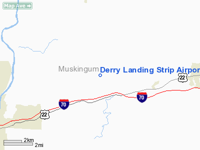
Derry Landing Strip Airport |
Location & QuickFacts
| FAA Information Effective: | 2008-09-25 |
| Airport Identifier: | 1OH7 |
| Airport Status: | Operational |
| Longitude/Latitude: | 081-51-49.4740W/39-59-38.2520N
-81.863743/39.993959 (Estimated) |
| Elevation: | 905 ft / 275.84 m (Estimated) |
| Land: | 0 acres |
| From nearest city: | 2 nautical miles NE of Sonora, OH |
| Location: | Muskingum County, OH |
| Magnetic Variation: | 06W (1985) |
Owner & Manager
| Ownership: | Privately owned |
| Owner: | Wayne Derry |
| Address: | 2655 Harvest Hills Rd.
Zanesville, OH 43701 |
| Phone number: | 614-796-2366 |
| Address: |
|
Airport Operations and Facilities
| Airport Use: | Private |
| Wind indicator: | Yes |
| Segmented Circle: | No |
| Control Tower: | No |
| Landing fee charge: | No |
| Sectional chart: | Cincinnati |
| Region: | AGL - Great Lakes |
| Boundary ARTCC: | ZID - Indianapolis |
| Tie-in FSS: | CLE - Cleveland |
| FSS on Airport: | No |
| FSS Toll Free: | 1-800-WX-BRIEF |
Airport Services
| Airframe Repair: | NONE |
| Power Plant Repair: | NONE |
Runway Information
Runway 17/35
| Dimension: | 1800 x 80 ft / 548.6 x 24.4 m |
| Surface: | TURF, |
| |
Runway 17 |
Runway 35 |
| Traffic Pattern: | Left | Left |
| Obstruction: | 40 ft pline, 750.0 ft from runway | |
|
Radio Navigation Aids
| ID |
Type |
Name |
Ch |
Freq |
Var |
Dist |
| PKB | FAN MARKER | Marietta Ohio | | | 03W | 42.1 nm |
| HRA | NDB | Zanesville | | 204.00 | 06W | 5.9 nm |
| HEH | NDB | Newark | | 524.00 | 06W | 27.7 nm |
| MLR | NDB | Millersburg/dcmsnd | | 382.00 | 06W | 32.9 nm |
| CM | NDB | Sumie | | 391.00 | 05W | 41.0 nm |
| CFX | NDB | Cadiz | | 239.00 | 07W | 41.7 nm |
| UGS | NDB | University | | 250.00 | 06W | 45.9 nm |
| TSO | NDB | Tolson | | 395.00 | 07W | 49.7 nm |
| ZZV | VOR/DME | Zanesville | 051X | 111.40 | 06W | 3.5 nm |
| CTW | VOR/DME | Newcomerstown | 055X | 111.80 | 07W | 22.7 nm |
| TVT | VOR/DME | Tiverton | 112X | 116.50 | 03W | 30.4 nm |
| AIR | VOR/DME | Bellaire | 118X | 117.10 | 07W | 48.2 nm |
| BSV | VOR/DME | Briggs | 071X | 112.40 | 04W | 49.0 nm |
| APE | VORTAC | Appleton | 114X | 116.70 | 06W | 34.6 nm |
| JPU | VORTAC | Parkersburg | 023X | 108.60 | 03W | 40.2 nm |
| CMH | VOT | Port Columbus | | 111.00 | | 47.0 nm |
Remarks
Images and information placed above are from
http://www.airport-data.com/airport/1OH7/
We thank them for the data!
| General Info
|
| Country |
United States
|
| State |
OHIO
|
| FAA ID |
1OH7
|
| Latitude |
39-59-38.252N
|
| Longitude |
081-51-49.474W
|
| Elevation |
905 feet
|
| Near City |
SONORA
|
We don't guarantee the information is fresh and accurate. The data may
be wrong or outdated.
For more up-to-date information please refer to other sources.
|
|


