 |
|
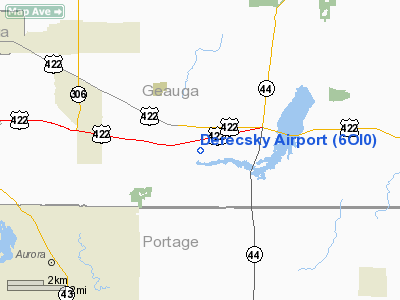
Location & QuickFacts
| FAA Information Effective: | 2008-09-25 |
| Airport Identifier: | 6OI0 |
| Airport Status: | Operational |
| Longitude/Latitude: | 081-15-26.3720W/41-22-33.1930N
-81.257326/41.375887 (Estimated) |
| Elevation: | 1185 ft / 361.19 m (Estimated) |
| Land: | 0 acres |
| From nearest city: | 1 nautical miles SW of Auburn Center, OH |
| Location: | Geauga County, OH |
| Magnetic Variation: | 07W (1985) |
Owner & Manager
| Ownership: | Privately owned |
| Owner: | Alex Derecsky |
| Address: | 18118 Taylor May Rd.
Mantua, OH 44255 |
| Phone number: | 216-543-9090 |
| Manager: | Alex Derecsky |
| Address: | 18118 Taylor May Rd.
Mantua, OH 44255 |
| Phone number: | 216-543-9090 |
Airport Operations and Facilities
| Airport Use: | Private |
| Wind indicator: | No |
| Segmented Circle: | No |
| Control Tower: | No |
| Landing fee charge: | No |
| Sectional chart: | Detroit |
| Region: | AGL - Great Lakes |
| Boundary ARTCC: | ZOB - Cleveland |
| Tie-in FSS: | CLE - Cleveland |
| FSS on Airport: | No |
| FSS Toll Free: | 1-800-WX-BRIEF |
Runway Information
Runway E/W
| Dimension: | 1800 x 80 ft / 548.6 x 24.4 m |
| Surface: | TURF, |
| |
Runway E |
Runway W |
| Traffic Pattern: | Left | Left |
| Obstruction: | | 35 ft trees, 750.0 ft from runway |
|
Radio Navigation Aids
| ID |
Type |
Name |
Ch |
Freq |
Var |
Dist |
| LQL | NDB | Lakeland | | 263.00 | 08W | 19.2 nm |
| AK | NDB | Akron | | 362.00 | 07W | 19.3 nm |
| BKL | NDB | Burke Lakefront | | 416.00 | 07W | 20.5 nm |
| EZE | NDB | Engel | | 226.00 | 07W | 22.1 nm |
| CL | NDB | Harri | | 344.00 | 07W | 32.0 nm |
| HBD | NDB | Hubbard | | 408.00 | 08W | 35.4 nm |
| UCP | NDB | Castle | | 272.00 | 09W | 43.6 nm |
| TSO | NDB | Tolson | | 395.00 | 07W | 49.6 nm |
| CXR | VOR/DME | Chardon | 074X | 112.70 | 05W | 9.5 nm |
| ACO | VOR/DME | Akron | 091X | 114.40 | 04W | 16.3 nm |
| LNN | VOR/DME | Lost Nation | 039X | 110.20 | 08W | 19.5 nm |
| JFN | VOR/DME | Jefferson | 099X | 115.20 | 05W | 32.5 nm |
| BSV | VOR/DME | Briggs | 071X | 112.40 | 04W | 39.0 nm |
| DJB | VOR/DME | Dryer | 083X | 113.60 | 05W | 40.8 nm |
| YNG | VORTAC | Youngstown | 027X | 109.00 | 05W | 26.4 nm |
| CLE | VOT | Cleveland | | 110.40 | | 26.8 nm |
| CAK | VOT | Akron/canton Regional | | 110.60 | | 28.9 nm |
Images and information placed above are from
http://www.airport-data.com/airport/6OI0/
We thank them for the data!
| General Info
|
| Country |
United States
|
| State |
OHIO
|
| FAA ID |
6OI0
|
| Latitude |
41-22-33.193N
|
| Longitude |
081-15-26.372W
|
| Elevation |
1185 feet
|
| Near City |
AUBURN CENTER
|
We don't guarantee the information is fresh and accurate. The data may
be wrong or outdated.
For more up-to-date information please refer to other sources.
|
|


