|
|
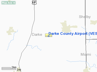
| Darke County Airport |
 |
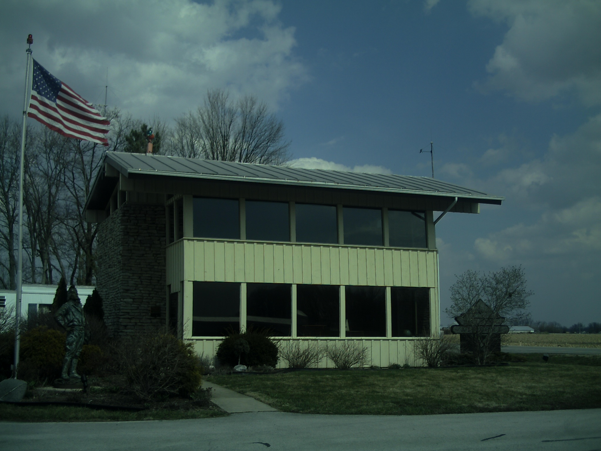
| Darke County airport building. Building is used as a waiting area. |
| IATA: VES – ICAO: KVES – FAA LID: VES |
| Summary |
| Airport type |
Public |
| Owner |
Darke County Commissioners |
| Location |
Versailles, Ohio |
| Elevation AMSL |
1007 ft / 307 m |
| Coordinates |
40°12′16″N 84°31′55″W / 40.20444°N 84.53194°W / 40.20444; -84.53194Coordinates: 40°12′16″N 84°31′55″W / 40.20444°N 84.53194°W / 40.20444; -84.53194 |
| Runways |
| Direction |
Length |
Surface |
| ft |
m |
| 9/27 |
4512 |
1375 |
Asphalt |
| Source: FAA |
The Darke County Airport (IATA: VES, ICAO: KVES, FAA LID: VES) is a general aviation public use airport located in Versailles, Ohio. It is along State Route 121 just south of Versailles. Midmark Company operates private jets from this airport.
The above content comes from Wikipedia and is published under free licenses – click here to read more.
Location & QuickFacts
| FAA Information Effective: | 2008-09-25 |
| Airport Identifier: | VES |
| Airport Status: | Operational |
| Longitude/Latitude: | 084-31-54.9000W/40-12-15.9000N
-84.531917/40.204417 (Estimated) |
| Elevation: | 1007 ft / 306.93 m (Surveyed) |
| Land: | 42 acres |
| From nearest city: | 2 nautical miles SW of Versailles, OH |
| Location: | Darke County, OH |
| Magnetic Variation: | 04W (1985) |
Owner & Manager
| Ownership: | Publicly owned |
| Owner: | Darke Co Commissioners |
| Address: | Darke Co Courthouse
Greenville, OH 45331 |
| Manager: | David Spillers |
| Address: | 9724 St Rt. 121
Versailles, OH 45380 |
| Phone number: | 937-526-9126 |
Airport Operations and Facilities
| Airport Use: | Open to public |
| Wind indicator: | Yes |
| Segmented Circle: | No |
| Control Tower: | No |
| Lighting Schedule: | DUSK-DAWN
ACTVT HIRL RY 09/27; REIL RYS 09 & 27 - CTAF. |
| Beacon Color: | Clear-Green (lighted land airport) |
| Landing fee charge: | No |
| Sectional chart: | Detroit |
| Region: | AGL - Great Lakes |
| Boundary ARTCC: | ZID - Indianapolis |
| Tie-in FSS: | DAY - Dayton |
| FSS on Airport: | No |
| FSS Toll Free: | 1-800-WX-BRIEF |
| NOTAMs Facility: | DAY (NOTAM-d service avaliable) |
| Federal Agreements: | N |
Airport Communications
| CTAF: | 122.800 |
| Unicom: | 122.800 |
Airport Services
| Fuel available: | 100LLA+ |
| Airframe Repair: | MAJOR |
| Power Plant Repair: | MAJOR |
| Bottled Oxygen: | NONE |
| Bulk Oxygen: | NONE |
Runway Information
Runway 09/27
| Dimension: | 4512 x 75 ft / 1375.3 x 22.9 m |
| Surface: | ASPH, Fair Condition |
| Weight Limit: | Single wheel: 12500 lbs. |
| Edge Lights: | Medium |
| |
Runway 09 |
Runway 27 |
| Longitude: | 084-32-23.9330W | 084-31-25.8010W |
| Latitude: | 40-12-15.3400N | 40-12-16.4830N |
| Elevation: | 1005.00 ft | 1004.00 ft |
| Alignment: | 89 | 127 |
| Traffic Pattern: | Left | Left |
| Markings: | Non-precision instrument, Good Condition | Non-precision instrument, Good Condition |
| VASI: | 2-light PAPI on left side | 2-light PAPI on left side |
| Runway End Identifier: | Yes | Yes |
| Centerline Lights: | No | No |
| Touchdown Lights: | No | No |
| Obstruction: | 11 ft road, 372.0 ft from runway, 15:1 slope to clear | 14 ft acft, 201.0 ft from runway, 132 ft right of centerline
+6-14 FT ACFT PARKED ON RAMP 0-300 FT FM RY END 150 FT R. |
|
Radio Navigation Aids
| ID |
Type |
Name |
Ch |
Freq |
Var |
Dist |
| VES | NDB | Versailles | | 356.00 | 04W | 0.4 nm |
| CQA | NDB | Lakefield | | 205.00 | 04W | 16.8 nm |
| PLD | NDB | Portland | | 257.00 | 03W | 25.5 nm |
| EDJ | NDB | Bellefontaine | | 242.00 | 05W | 34.4 nm |
| LYL | NDB | Lima | | 362.00 | 04W | 38.0 nm |
| VFU | NDB | Stanley | | 411.00 | 05W | 39.7 nm |
| CCJ | NDB | Clark County | | 341.00 | 04W | 39.9 nm |
| XEN | NDB | Xenia | | 395.00 | 03W | 40.4 nm |
| UWL | NDB | New Castle | | 385.00 | 02W | 41.1 nm |
| RUV | NDB | Rushsylvania | | 326.00 | 05W | 42.4 nm |
| HKF | NDB | Hook Field | | 239.00 | 04W | 42.6 nm |
| OXD | NDB | Oxford | | 282.00 | 04W | 43.4 nm |
| AI | NDB | Video | | 371.00 | 03W | 45.7 nm |
| FFO | TACAN | Patterson | 099X | | 04W | 31.9 nm |
| XSF | TACAN | Springfield | 065X | | 04W | 38.7 nm |
| AOH | VOR | Allen County | | 108.40 | 04W | 39.7 nm |
| DQN | VOR/DME | Dayton | 092X | 114.50 | 01W | 12.9 nm |
| SGH | VOR/DME | Springfield | 079X | 113.20 | 04W | 38.6 nm |
| MIE | VOR/DME | Muncie | 091X | 114.40 | 03W | 39.6 nm |
| ROD | VORTAC | Rosewood | 122X | 117.50 | 05W | 23.0 nm |
| RID | VORTAC | Richmond | 043X | 110.60 | 03W | 30.5 nm |
| DAY | VOT | Dayton J M Cox-day | | 111.00 | | 23.2 nm |
Remarks
- CTN: DEER OCCASIONALLY ON RWY.
- FBO CLOSED ON MAJOR HOLIDAYS.
Images and information placed above are from
http://www.airport-data.com/airport/VES/
We thank them for the data!
| General Info
|
| Country |
United States
|
| State |
OHIO
|
| FAA ID |
VES
|
| Latitude |
40-12-15.900N
|
| Longitude |
084-31-54.900W
|
| Elevation |
1007 feet
|
| Near City |
VERSAILLES
|
We don't guarantee the information is fresh and accurate. The data may
be wrong or outdated.
For more up-to-date information please refer to other sources.
|
|