|
|
Clermont County Airport
Sporty's Airport |
| IATA: none – ICAO: none – FAA LID: I69 |
| Summary |
| Airport type |
Public |
| Owner/Operator |
Clermont County Commissioners |
| Serves |
Clermont County, Ohio |
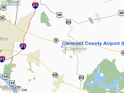
| Location |
Batavia, Ohio |
| Elevation AMSL |
844 ft / 257 m |
| Coordinates |
39°04′42″N 084°12′37″W / 39.07833°N 84.21028°W / 39.07833; -84.21028 |
| Website |
www.flyeca.com |
| Runways |
| Direction |
Length |
Surface |
| ft |
m |
| 4/22 |
3,568 |
1,088 |
Asphalt |
| Statistics (2007) |
| Aircraft operations |
30,650 |
| Based aircraft |
120 |
| Source: Federal Aviation Administration |
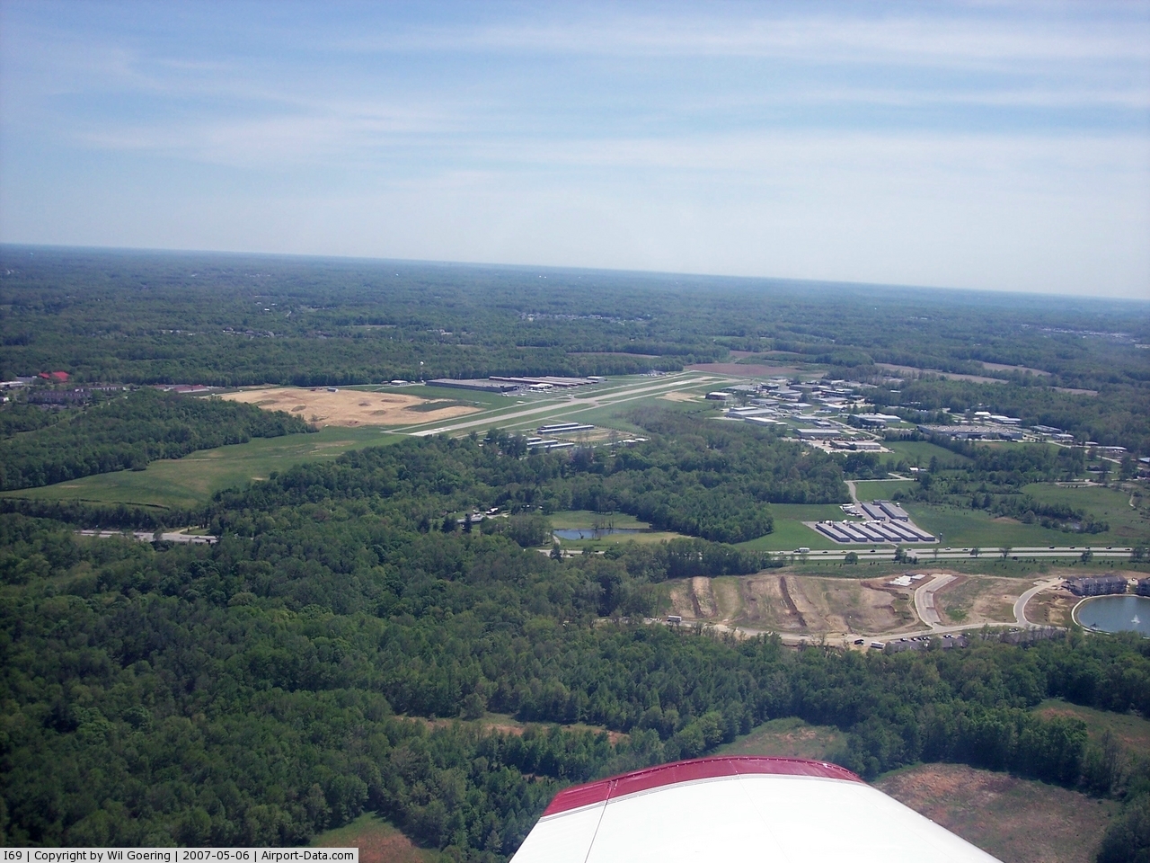
Clermont County Airport (FAA LID: I69) is a public use airport located two nautical miles (4 km) west of the central business district of Batavia, a village in Clermont County, Ohio, United States. It is owned by the Clermont County Commissioners.
It is also known as Sporty's Airport. The fixed base operator is Eastern Cincinnati Aviation.
Facilities and aircraft
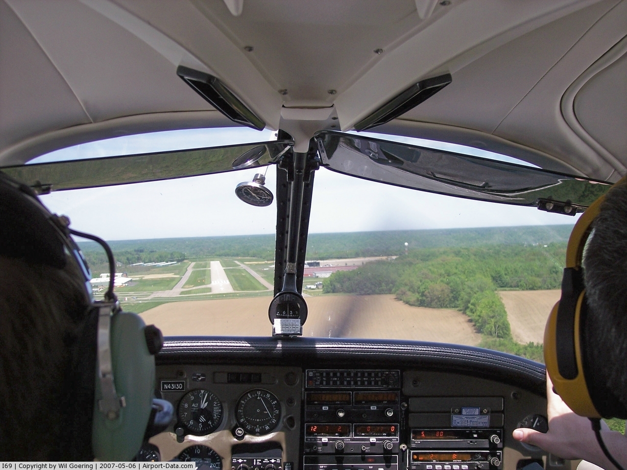
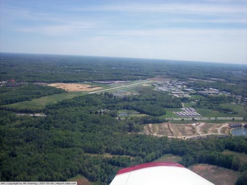
Clermont County Airport covers an area of 60 acres (24 ha) at an elevation of 844 feet (257 m) above mean sea level. It has one runway designated 4/22 with a 3,568 x 75 ft (1,088 x 23 m) asphalt surface.
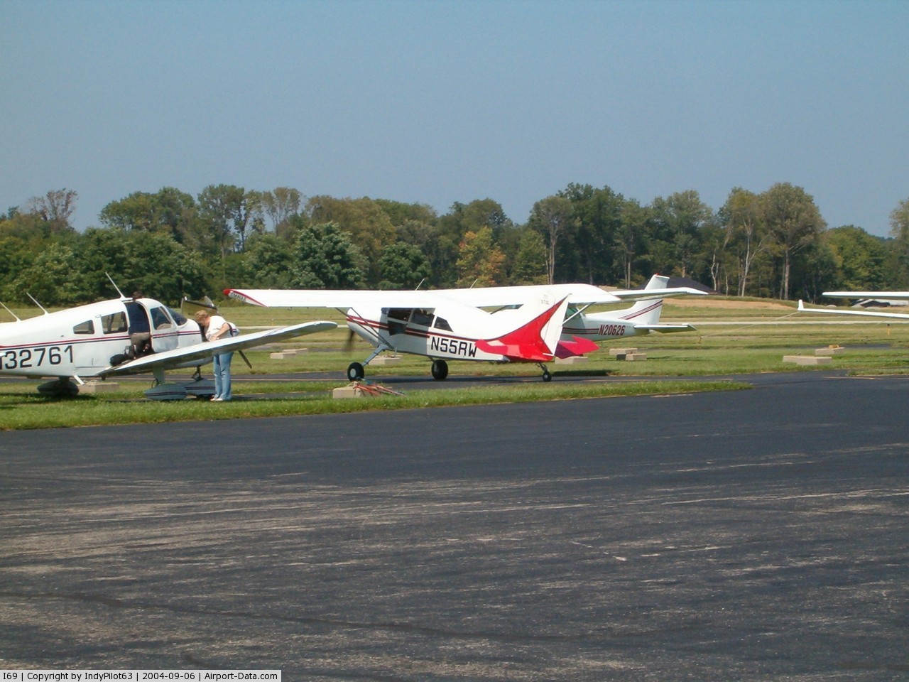
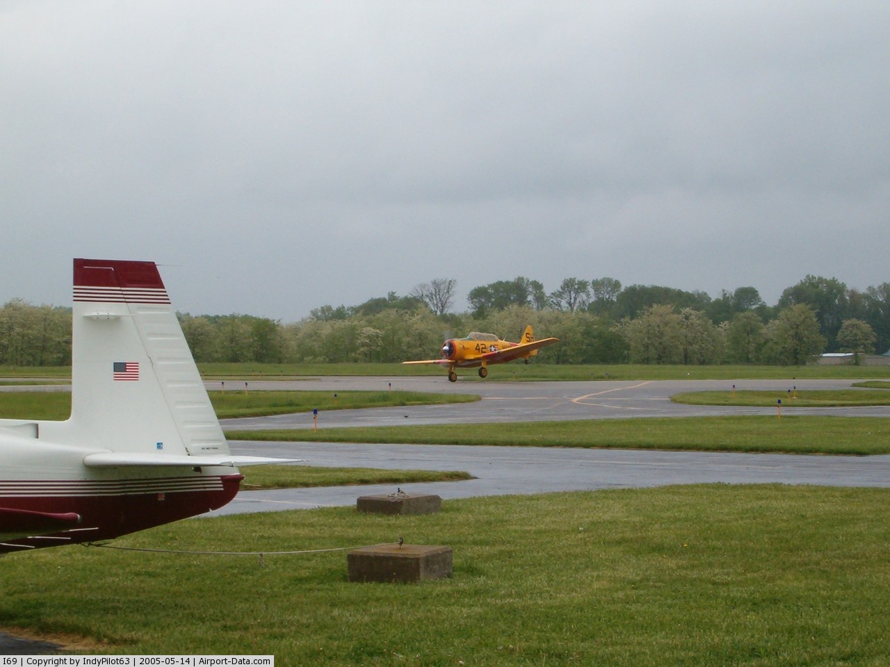
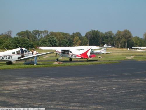
For the 12-month period ending December 19, 2007, the airport had 30,650 aircraft operations, an average of 83 per day: 98% general aviation, 2% air taxi and <1% military. At that time there were 120 aircraft based at this airport: 88% single-engine, 7% multi-engine, 4% helicopter, 1% jet and 1% glider.
The above content comes from Wikipedia and is published under free licenses – click here to read more.
 |
(Click on the photo to enlarge) |
 |
(Click on the photo to enlarge) |
 |
(Click on the photo to enlarge) |
 |
(Click on the photo to enlarge) |
 |
(Click on the photo to enlarge) |
Location & QuickFacts
| FAA Information Effective: | 2008-09-25 |
| Airport Identifier: | I69 |
| Airport Status: | Operational |
| Longitude/Latitude: | 084-12-36.7458W/39-04-42.2295N
-84.210207/39.078397 (Estimated) |
| Elevation: | 844 ft / 257.25 m (Surveyed) |
| Land: | 60 acres |
| From nearest city: | 2 nautical miles W of Batavia, OH |
| Location: | Clermont County, OH |
| Magnetic Variation: | 04W (1990) |
Owner & Manager
| Ownership: | Publicly owned |
| Owner: | Clermont Co Comsnrs |
| Address: | 101 E Main St
Batavia, OH 45103 |
| Phone number: | 513-735-9500 |
| Manager: | Chuck Gallagher |
| Address: | 2001 Sportys Drive
Batavia, OH 45103 |
| Phone number: | 513-735-9100X227 |
Airport Operations and Facilities
| Airport Use: | Open to public |
| Wind indicator: | Yes |
| Segmented Circle: | No |
| Control Tower: | No |
| Lighting Schedule: | DUSK-DAWN
ACTVT MIRL RY 04/22; PAPI & REIL RYS 04 AND 22 - CTAF. |
| Beacon Color: | Clear-Green (lighted land airport) |
| Landing fee charge: | No |
| Sectional chart: | Cincinnati |
| Region: | AGL - Great Lakes |
| Traffic Pattern Alt: | 1000 ft |
| Boundary ARTCC: | ZID - Indianapolis |
| Tie-in FSS: | DAY - Dayton |
| FSS on Airport: | No |
| FSS Toll Free: | 1-800-WX-BRIEF |
| NOTAMs Facility: | DAY (NOTAM-d service avaliable) |
| Federal Agreements: | N |
Airport Communications
| CTAF: | 122.975 |
| Unicom: | 122.975 |
Airport Services
| Fuel available: | 100LLA |
| Airframe Repair: | MAJOR |
| Power Plant Repair: | MAJOR |
Runway Information
Runway 04/22
| Dimension: | 3568 x 75 ft / 1087.5 x 22.9 m
RY 04/22 440 FT STOPWAY N END. |
| Surface: | ASPH, Good Condition |
| Edge Lights: | Medium |
| |
Runway 04 |
Runway 22 |
| Longitude: | 084-12-50.1877W | 084-12-23.3024W |
| Latitude: | 39-04-28.0498N | 39-04-56.4087N |
| Elevation: | 844.00 ft | 813.00 ft |
| Alignment: | 36 | 127 |
| Traffic Pattern: | Left | Left |
| Markings: | Non-precision instrument, Good Condition | Non-precision instrument, Good Condition |
| Displaced threshold: | 398.00 ft | 0.00 ft |
| VASI: | 2-light PAPI on left side | 2-light PAPI on left side |
| Visual Glide Angle: | 4.00° | 3.00° |
| Runway End Identifier: | Yes | Yes |
| Centerline Lights: | No | No |
| Touchdown Lights: | No | No |
| Obstruction: | 15 ft road, 201.0 ft from runway, 80 ft right of centerline
RWY 04 0:1 APCH SLOPE TO DSPLCD THR DUE TO +15 FT ROAD 225 FT R.
RY 04 +13 FT FENCE 206 FT R 0-200 FT FM RY END; RY 04 +15 FT ROAD 215 FT R 0-200 FT FM RY END. | 81 ft trees, 425.0 ft from runway, 280 ft right of centerline, 2:1 slope to clear |
|
Radio Navigation Aids
| ID |
Type |
Name |
Ch |
Freq |
Var |
Dist |
| PWF | NDB | Sportys | | 245.00 | 04W | 0.3 nm |
| LUK | NDB | Cincinnati | | 335.00 | 04W | 7.8 nm |
| MDE | NDB | Madeira | | 379.00 | 04W | 11.0 nm |
| ISZ | NDB | Cincinnati-blue Ash | | 388.00 | 04W | 13.2 nm |
| HW | NDB | Cubla | | 299.00 | 04W | 22.7 nm |
| HAO | NDB | Hamilton | | 260.00 | 04W | 24.4 nm |
| UR | NDB | Burln | | 321.00 | 04W | 26.3 nm |
| HKF | NDB | Hook Field | | 239.00 | 04W | 27.6 nm |
| HOC | NDB | Hillsboro | | 278.00 | 05W | 31.8 nm |
| AMT | NDB | West Union | | 359.00 | 04W | 33.0 nm |
| IL | NDB | Airbo | | 407.00 | 04W | 33.2 nm |
| OXD | NDB | Oxford | | 282.00 | 04W | 37.0 nm |
| XW | NDB | Flmng | | 400.00 | 05W | 40.2 nm |
| XEN | NDB | Xenia | | 395.00 | 03W | 40.4 nm |
| PZO | NDB | Peebles | | 329.00 | 02W | 42.3 nm |
| CSS | NDB | Court House | | 414.00 | 05W | 49.3 nm |
| FFO | TACAN | Patterson | 099X | | 04W | 45.1 nm |
| XSF | TACAN | Springfield | 065X | | 04W | 48.8 nm |
| FLM | VOR/DME | Falmouth | 117X | 117.00 | 04W | 26.2 nm |
| MXQ | VOR/DME | Midwest | 076X | 112.90 | 04W | 28.4 nm |
| SGH | VOR/DME | Springfield | 079X | 113.20 | 04W | 48.6 nm |
| CVG | VORTAC | Cincinnati | 120X | 117.30 | 04W | 23.3 nm |
| LUK | VOT | Cincinnati Muni/lunken | | 108.40 | | 9.1 nm |
| DAY | VOT | Dayton J M Cox-day | | 111.00 | | 49.5 nm |
Remarks
- TAXI ON HARD SURFACE ONLY.
- DEER & OTHER ANIMALS ON & INVOF ARPT.
Images and information placed above are from
http://www.airport-data.com/airport/I69/
We thank them for the data!
| General Info
|
| Country |
United States
|
| State |
OHIO
|
| FAA ID |
I69
|
| Latitude |
39-04-42.230N
|
| Longitude |
084-12-36.746W
|
| Elevation |
844 feet
|
| Near City |
BATAVIA
|
We don't guarantee the information is fresh and accurate. The data may
be wrong or outdated.
For more up-to-date information please refer to other sources.
|
|