|
|
 |
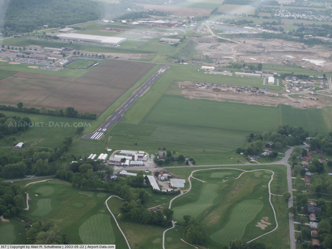
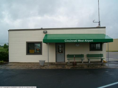
(Click on the photo to enlarge) |
 |
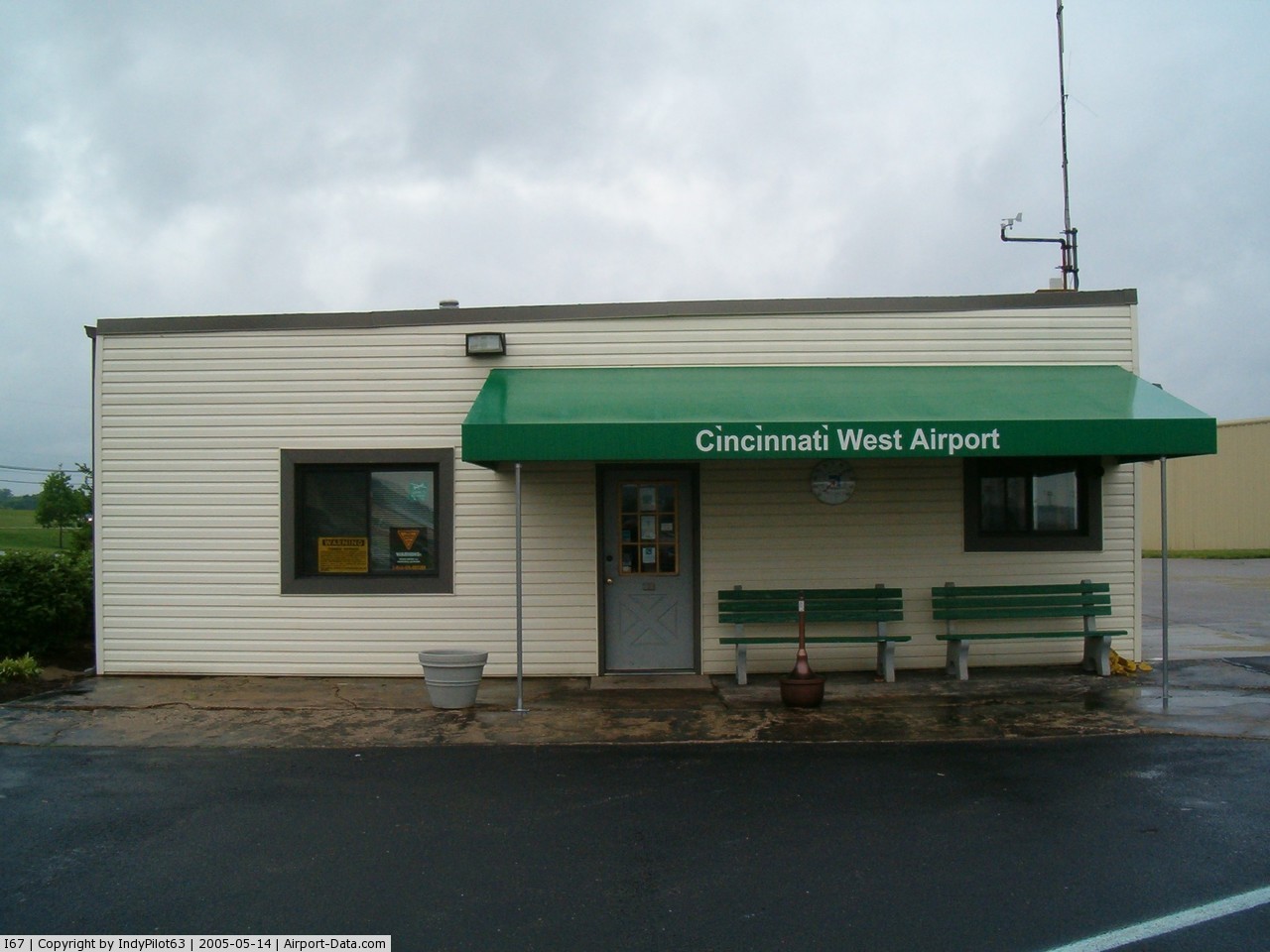
(Click on the photo to enlarge) |
Location & QuickFacts
| FAA Information Effective: | 2008-09-25 |
| Airport Identifier: | I67 |
| Airport Status: | Operational |
| Longitude/Latitude: | 084-46-27.5000W/39-15-32.2000N
-84.774306/39.258944 (Estimated) |
| Elevation: | 584 ft / 178.00 m (Surveyed) |
| Land: | 27 acres |
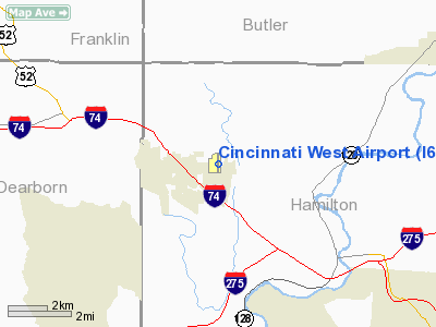
| From nearest city: | 2 nautical miles E of Harrison, OH |
| Location: | Hamilton County, OH |
| Magnetic Variation: | 03W (1985) |
Owner & Manager
| Ownership: | Publicly owned |
| Owner: | Cincy St Tech & Com College |
| Address: | 3520 Central Parkway
Cincinnati, OH 45223 |
| Phone number: | 513-569-1451 |
| Manager: | Will Beringer |
| Address: | 10004 West Road
Harrison, OH 45030 |
| Phone number: | 513-367-1201 |
Airport Operations and Facilities
| Airport Use: | Open to public |
| Wind indicator: | Yes |
| Segmented Circle: | No |
| Control Tower: | No |
| Lighting Schedule: | DUSK-DAWN |
| Beacon Color: | Clear-Green (lighted land airport) |
| Sectional chart: | Cincinnati |
| Region: | AGL - Great Lakes |
| Boundary ARTCC: | ZID - Indianapolis |
| Tie-in FSS: | DAY - Dayton |
| FSS on Airport: | No |
| FSS Toll Free: | 1-800-WX-BRIEF |
| NOTAMs Facility: | DAY (NOTAM-d service avaliable) |
| Federal Agreements: | N |
Airport Communications
| CTAF: | 123.000 |
| Unicom: | 123.000 |
Airport Services
| Fuel available: | 100LL
FOR JET A AVBLTY CALL (513) 367-0231. |
| Airframe Repair: | MAJOR |
| Power Plant Repair: | MAJOR |
| Bottled Oxygen: | NONE |
| Bulk Oxygen: | NONE |
Runway Information
Runway 01/19
| Dimension: | 2803 x 60 ft / 854.4 x 18.3 m |
| Surface: | ASPH, Good Condition |
| Edge Lights: | Medium |
| |
Runway 01 |
Runway 19 |
| Longitude: | 084-46-27.5886W | 084-46-27.4200W |
| Latitude: | 39-15-19.5416N | 39-15-47.2450N |
| Elevation: | 582.00 ft | 580.00 ft |
| Alignment: | 0 | 127 |
| Traffic Pattern: | Left | Left |
| Markings: | Non-precision instrument, Good Condition | Non-precision instrument, Good Condition |
| Displaced threshold: | 308.00 ft | 220.00 ft |
| Runway End Identifier: | No | No |
| Centerline Lights: | No | No |
| Touchdown Lights: | No | No |
| Obstruction: | 29 ft pline, 1100.0 ft from runway, 60 ft right of centerline, 31:1 slope to clear
RY 01 +15 FT ROAD 25 FT FM RY END; TWO +10 FT HWY SIGNS 15 FT AND 20 FT FM RY END 115 FT RT. | 25 ft tree, 405.0 ft from runway, 20 ft right of centerline, 8:1 slope to clear
RY 19 APCH RATIO TO DSPLCD THLD 25:1
RY 19 +15 FT BLDGS 180 FT FM RY END 140 FT RIGHT. |
|
Runway 09/27
| Dimension: | 1809 x 100 ft / 551.4 x 30.5 m |
| Surface: | TURF, Good Condition |
| |
Runway 09 |
Runway 27 |
| Longitude: | 084-46-50.8200W | 084-46-27.8200W |
| Latitude: | 39-15-24.1990N | 39-15-24.1990N |
| Alignment: | 90 | 127 |
| Traffic Pattern: | Left | Left |
| Markings: | None, | None, |
| Runway End Identifier: | No | No |
| Centerline Lights: | No | No |
| Touchdown Lights: | No | No |
| Obstruction: | 50 ft tree, 31.0 ft from runway, 20 ft right of centerline | 34 ft tree, 140.0 ft from runway, 4:1 slope to clear |
|
Radio Navigation Aids
| ID |
Type |
Name |
Ch |
Freq |
Var |
Dist |
| HAO | NDB | Hamilton | | 260.00 | 04W | 11.6 nm |
| UR | NDB | Burln | | 321.00 | 04W | 12.8 nm |
| OXD | NDB | Oxford | | 282.00 | 04W | 14.9 nm |
| ISZ | NDB | Cincinnati-blue Ash | | 388.00 | 04W | 17.9 nm |
| MDE | NDB | Madeira | | 379.00 | 04W | 19.6 nm |
| HKF | NDB | Hook Field | | 239.00 | 04W | 20.9 nm |
| LUK | NDB | Cincinnati | | 335.00 | 04W | 21.0 nm |
| HLB | NDB | Batesville | | 254.00 | 02W | 23.1 nm |
| PWF | NDB | Sportys | | 245.00 | 04W | 28.3 nm |
| OVO | NDB | North Vernon | | 374.00 | 02W | 40.5 nm |
| HW | NDB | Cubla | | 299.00 | 04W | 42.2 nm |
| IMS | NDB | Madison | | 404.00 | 03W | 43.9 nm |
| UWL | NDB | New Castle | | 385.00 | 02W | 45.1 nm |
| XEN | NDB | Xenia | | 395.00 | 03W | 47.8 nm |
| BA | NDB | Clifs | | 410.00 | 03W | 48.7 nm |
| FFO | TACAN | Patterson | 099X | | 04W | 47.4 nm |
| FLM | VOR/DME | Falmouth | 117X | 117.00 | 04W | 42.6 nm |
| MXQ | VOR/DME | Midwest | 076X | 112.90 | 04W | 46.4 nm |
| DQN | VOR/DME | Dayton | 092X | 114.50 | 01W | 48.8 nm |
| CVG | VORTAC | Cincinnati | 120X | 117.30 | 04W | 15.0 nm |
| RID | VORTAC | Richmond | 043X | 110.60 | 03W | 30.0 nm |
| LUK | VOT | Cincinnati Muni/lunken | | 108.40 | | 19.4 nm |
| DAY | VOT | Dayton J M Cox-day | | 111.00 | | 46.4 nm |
Images and information placed above are from
http://www.airport-data.com/airport/I67/
We thank them for the data!
| General Info
|
| Country |
United States
|
| State |
OHIO
|
| FAA ID |
I67
|
| Latitude |
39-15-32.200N
|
| Longitude |
084-46-27.500W
|
| Elevation |
584 feet
|
| Near City |
HARRISON
|
We don't guarantee the information is fresh and accurate. The data may
be wrong or outdated.
For more up-to-date information please refer to other sources.
|
|