|
|
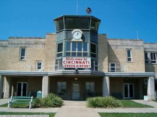
Cincinnati Muni Airport Lunken Field Airport |
Cincinnati Municipal Airport
Lunken Field |
 |
| IATA: LUK – ICAO: KLUK – FAA LID: LUK |
| Summary |
| Airport type |
Public |
| Owner |
City of Cincinnati |
| Serves |
Cincinnati, Ohio |
| Elevation AMSL |
483 ft / 147 m |
| Coordinates |
39°06′12″N 084°25′07″W / 39.10333°N 84.41861°W / 39.10333; -84.41861 |
| Runways |
| Direction |
Length |
Surface |
| ft |
m |
| 3L/21R |
3,802 |
1,159 |
Asphalt |
| 3R/21L |
6,101 |
1,860 |
Asphalt |
| 7/25 |
5,128 |
1,563 |
Asphalt |
| Statistics (2004) |
| Aircraft operations |
108,904 |
| Based aircraft |
314 |
| Source: Federal Aviation Administration |
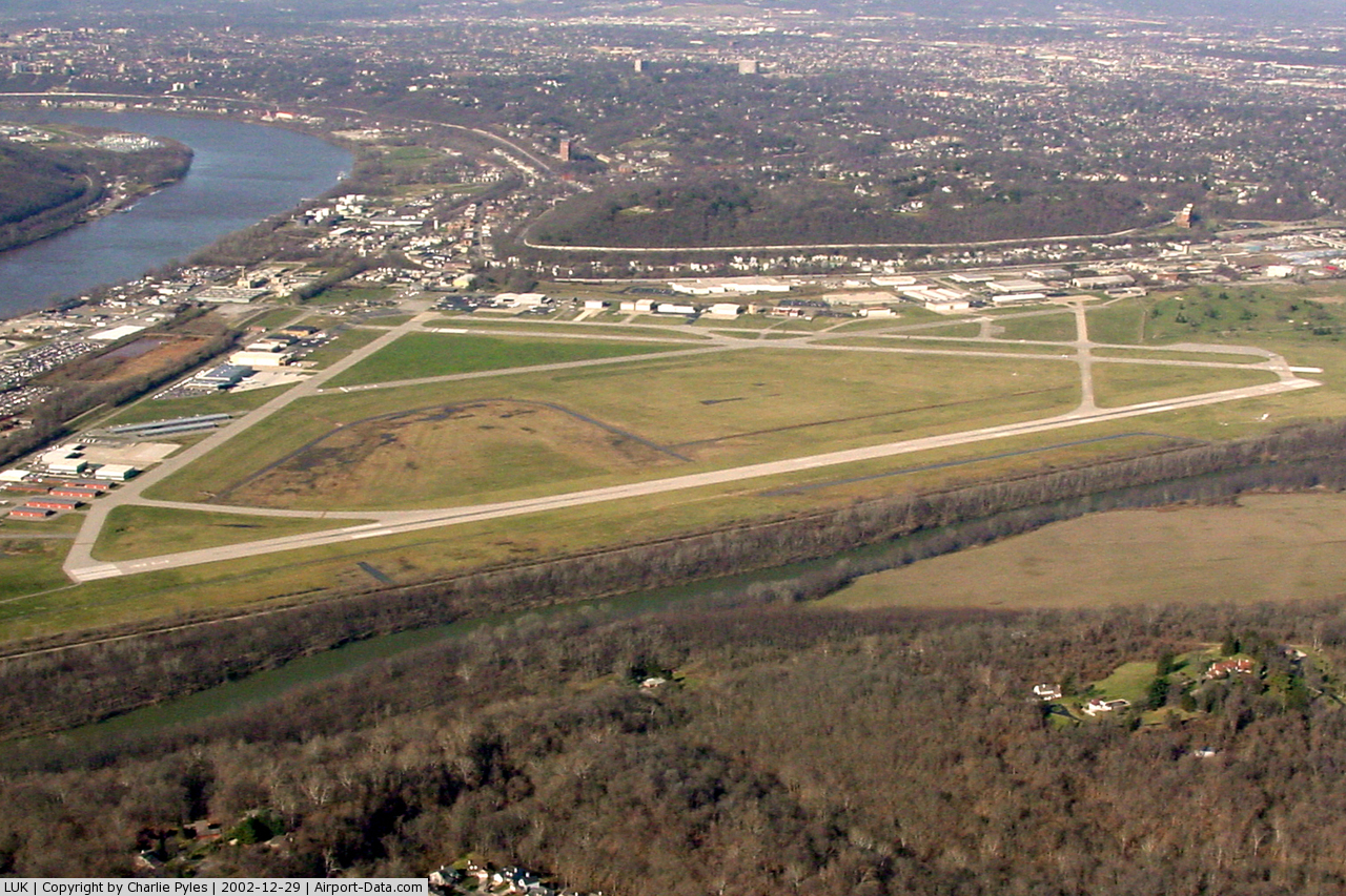
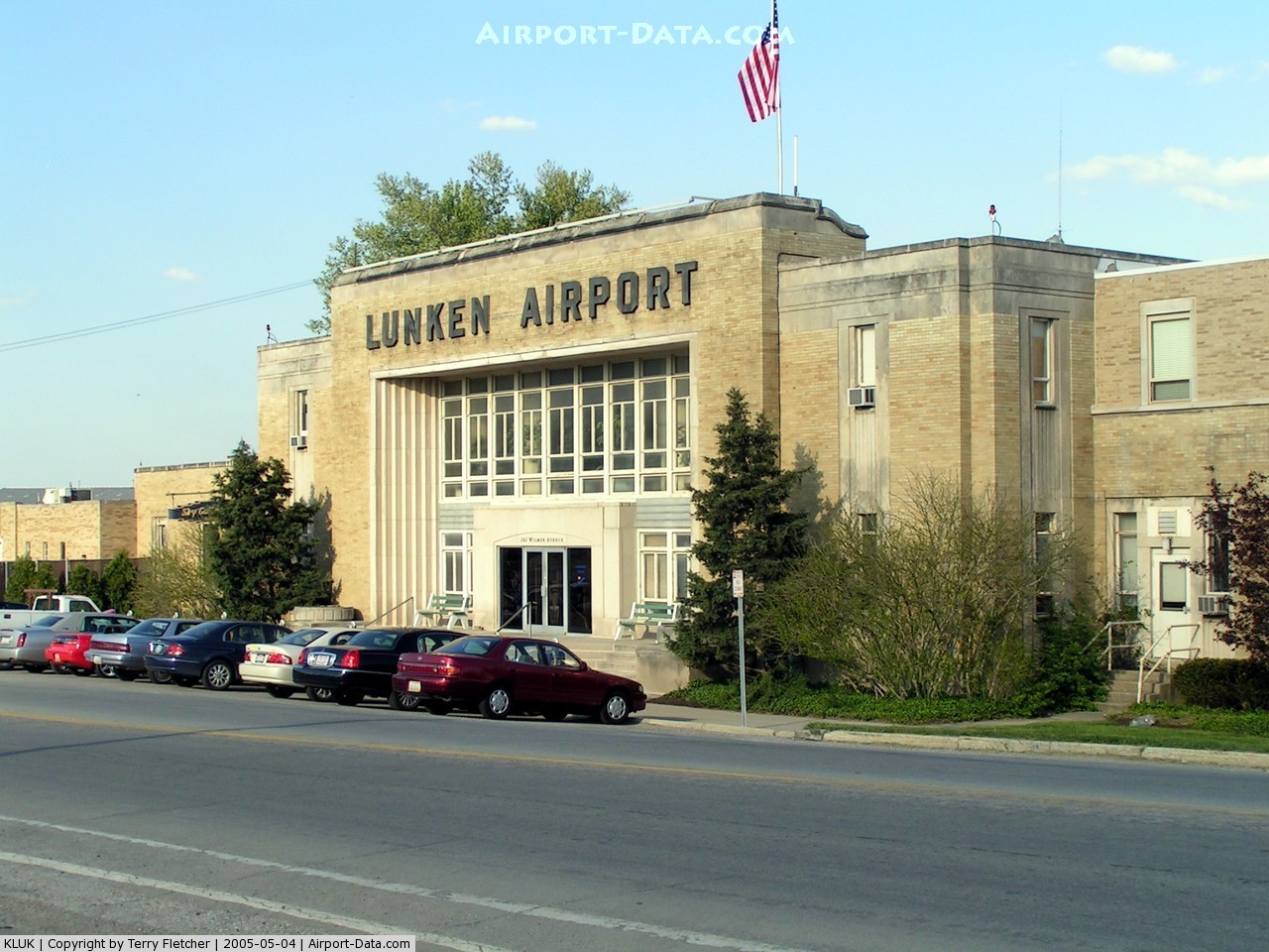
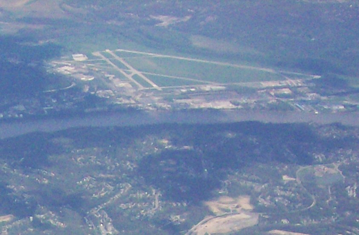
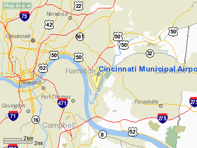
Cincinnati Municipal Airport – Lunken Field or Cincinnati Municipal Lunken Airport (IATA: LUK, ICAO: KLUK, FAA LID: LUK) is a public airport in Cincinnati, Ohio, United States, located three miles (5 km) southeast of Downtown Cincinnati. It is owned by the city of Cincinnati, Ohio. The airport serves private aircraft and the fleets of most local corporations. It is commonly known as Lunken Airport or Lunken Field, after Eshelby Lunken.
It is bounded by US Route 50 (historic Columbia Parkway and Eastern Avenue) to the west, US Route 52 (Kellogg Avenue) and the Ohio River to the south, the Little Miami River (which originally flowed through the airfield but was diverted) to the east, and Ohio Route 125 (Beechmont Avenue) to the north. History
Cincinnati Municipal Airport, also known as Lunken Airport, was a commercial airport in the 1920s '30s and '40s. It is situated in the Little Miami River valley near Columbia, the site of the first Cincinnati-area settlement in 1788. When the original 1000-acre (4 km²) airfield was dedicated in 1925, it was the largest municipal airfield in the world. American Airlines started at Lunken Airport during this time, but no major commercial airlines use it anymore. Instead, many large Cincinnati-area companies now base their corporate aircraft there.
On December 17, 1925, the Embry-Riddle Company was formed at Lunken Airport by T. Higbee Embry and John Paul Riddle. A few years later, the company moved to Florida, and later became the Embry-Riddle Aeronautical University.
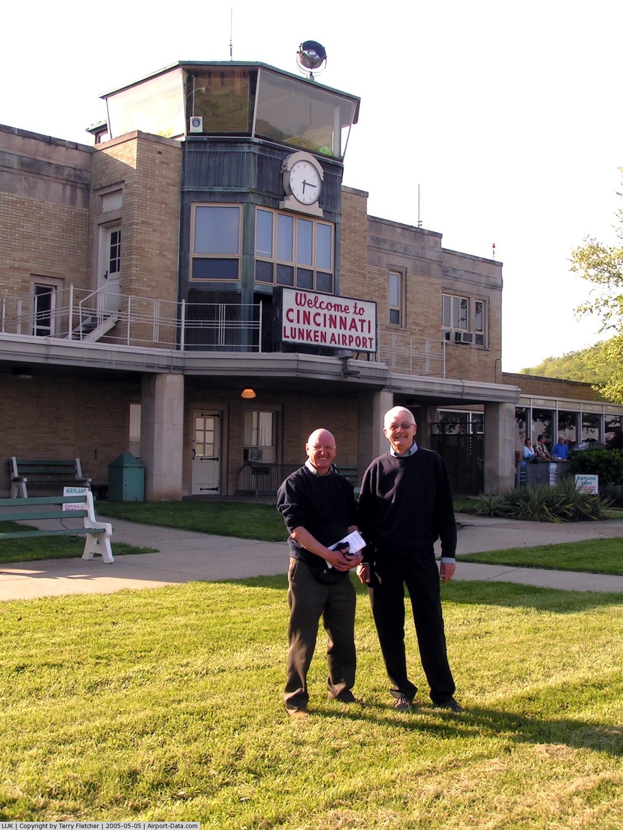
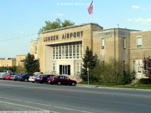
Lunken Airport was supplanted by the Cincinnati/Northern Kentucky International Airport in 1947 following catastrophic flooding from the Ohio River. The flooding problem prompted the airport's nickname of "Sunken Lunken". The control tower, located at the southwest corner of the airport, was almost totally submerged during the historic Ohio River flood of 1937, and now has a single black brick facing the airfield to indicate the high-water mark. Today the old control tower is home to the Lunken Cadet Squadron of the Civil Air Patrol, and is the oldest standing control tower in the United States. The property also contains public recreation areas, including an 18-hole golf course, playgrounds, and walking/biking paths.
Airport visitors
In 1927, Charles Lindberg landed at Lunken Airport and was mobbed by well-wishers. In 1964, a large crowd of fans greeted The Beatles as they flew in to and out of Lunken for their concert at Crosley Field . On October 30, 2007, Air Force One landed at Lunken as President George W. Bush visited abutting Cincinnati neighborhood Hyde Park for a fund-raiser for Republican Congressman Steve Chabot. On October 22, 2008 Republican Presidential candidate Arizona Senator John McCain and vice-presidential candidate Governor of Alaska Sarah Palin spoke to an enthusiatic crowd of 12,000 in hangar A-10. Gretchen Wilson performed to start the rally. Cindy McCain and Todd Palin were also in attendance. Introducing them was Republican Congressman Rob Portman.
Facilities
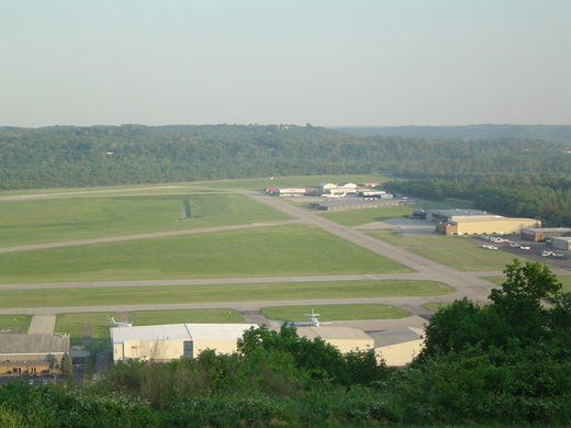 | |
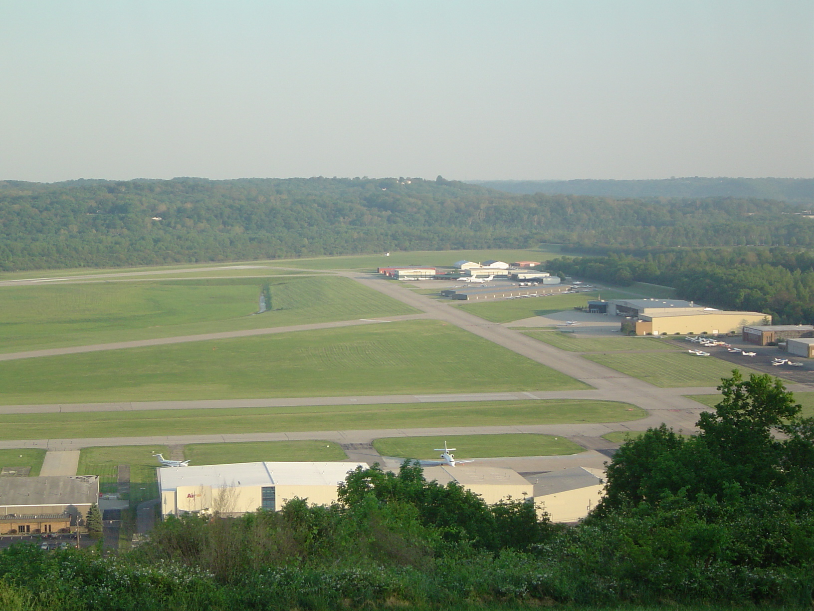
Lunken Airport from Alms Park |
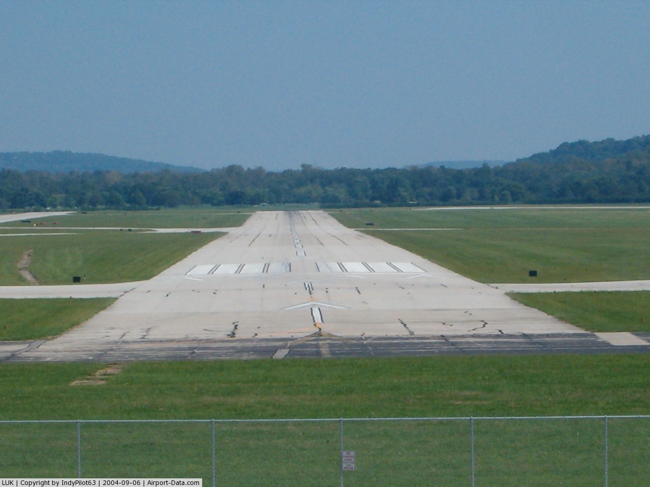
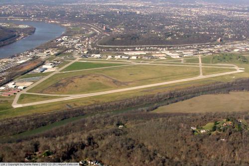
Cincinnati Municipal Airport - Lunken Field covers an area of 1,140 acres (461 ha) which contains three runways:
- Runway 3L/21R: 3,802 x 100 ft (1,159 x 30 m), Surface: Asphalt
- Runway 3R/21L: 6,101 x 150 ft (1,860 x 46 m), Surface: Asphalt
- Runway 7/25: 5,128 x 100 ft (1,563 x 30 m), Surface: Asphalt
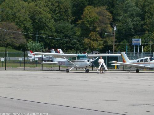
Aircraft
For the 12-month period ending December 31, 2004, the airport had 108,904 aircraft operations, an average of 298 per day: 83% general aviation, 17% air taxi, 1% military and <1% scheduled commercial. There are 314 aircraft based at this airport: 62% single-engine, 21% jet, 15% multi-engine and 1% helicopter.
Restaurant
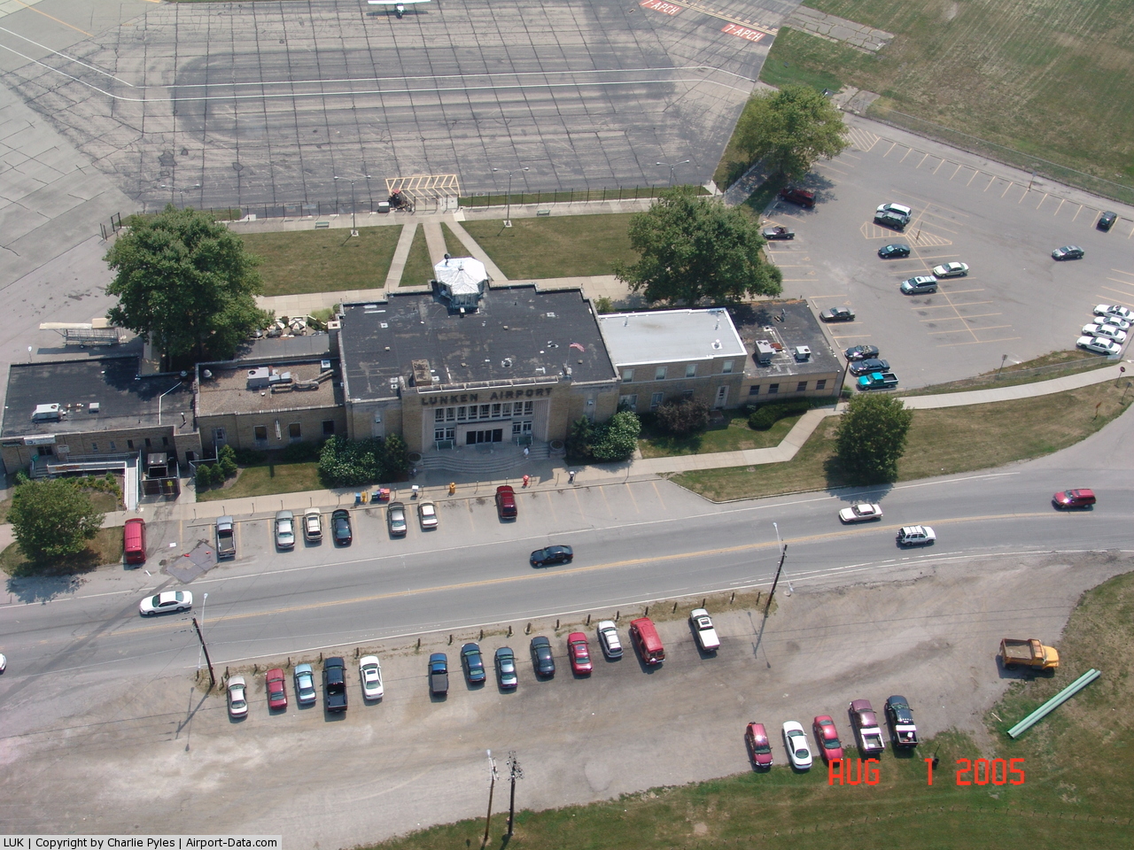
Sky Galley Restaurant has been in nearly continuous operation for decades, and is so named because the first meals served on a commercial airliner (American Airlines) were prepared here. Sky Galley is housed in the original, Art Deco terminal building and has large windows and a patio dining area facing the airfield, allowing wonderful views of small aircraft and corporate jets coming and going. Pilots can literally taxi up and park right outside the restaurant.
Signature Engines
Located at hangar 7 is a business named Signature Engines that overhauls airplane engines.
[2]
The above content comes from Wikipedia and is published under free licenses – click here to read more.
 |
(Click on the photo to enlarge) |
 |
(Click on the photo to enlarge) |
 |
(Click on the photo to enlarge) |
 |
(Click on the photo to enlarge) |
 |
(Click on the photo to enlarge) |
 |
(Click on the photo to enlarge) |
 |
(Click on the photo to enlarge) |
Location & QuickFacts
| FAA Information Effective: | 2008-09-25 |
| Airport Identifier: | LUK |
| Airport Status: | Operational |
| Longitude/Latitude: | 084-25-07.0000W/39-06-12.0000N
-84.418611/39.103333 (Estimated) |
| Elevation: | 483 ft / 147.22 m (Surveyed) |
| Land: | 1140 acres |
| From nearest city: | 3 nautical miles SE of Cincinnati, OH |
| Location: | Hamilton County, OH |
| Magnetic Variation: | 04W (1990) |
Owner & Manager
| Ownership: | Publicly owned |
| Owner: | City Of Cincinnati, Ohio |
| Address: | 262 Wilmer Ave
Cincinnati, OH 45226 |
| Phone number: | 513-321-4132 |
| Manager: | Fred Anderton |
| Address: | 262 Wilmer Ave
Cincinnati, OH 45226 |
| Phone number: | 513-352-6340 |
Airport Operations and Facilities
| Airport Use: | Open to public |
| Wind indicator: | Yes |
| Segmented Circle: | No |
| Control Tower: | Yes |
| Lighting Schedule: | DUSK-DAWN
WHEN ATCT CLSD HIRL RY 03R/21L PRESET ON MED INTST; TO INCR INTST & ACTVT MALSR RY 21L - CTAF; MIRL RYS 03L/21R & 07/25 UNAVBL. |
| Beacon Color: | Clear-Green (lighted land airport)
ROTG BCN LOCATED 1.7 NM EAST OF THE CENTER OF LUNKEN ARPT. |
| Landing fee charge: | Yes |
| Sectional chart: | Cincinnati |
| Region: | AGL - Great Lakes |
| Boundary ARTCC: | ZID - Indianapolis |
| Tie-in FSS: | DAY - Dayton |
| FSS Toll Free: | 1-800-WX-BRIEF |
| NOTAMs Facility: | LUK (NOTAM-d service avaliable) |
| Certification type/date: | IV A U 11/197
RYS 03L/21R & 07/25 & TWY 'D' NOT AVBL FOR ACFT WITH MORE THAN 30 PSGR SEATS. |
| Federal Agreements: | NGY |
Airport Communications
| CTAF: | 118.700 |
| Unicom: | 122.950 |
Airport Services
| Fuel available: | 100LLA |
| Airframe Repair: | MAJOR |
| Power Plant Repair: | MAJOR |
| Bottled Oxygen: | NONE |
| Bulk Oxygen: | HIGH |
Runway Information
Runway 03L/21R
| Dimension: | 3802 x 100 ft / 1158.8 x 30.5 m |
| Surface: | ASPH, Fair Condition |
| Weight Limit: | Single wheel: 11000 lbs. |
| Edge Lights: | Medium |
| |
Runway 03L |
Runway 21R |
| Longitude: | 084-25-26.9837W | 084-25-08.3745W |
| Latitude: | 39-05-58.6093N | 39-06-33.2751N |
| Elevation: | 483.00 ft | 478.00 ft |
| Alignment: | 23 | 127 |
| Traffic Pattern: | Left | Left |
| Markings: | Basic, Fair Condition | Basic, Fair Condition |
| Crossing Height: | 0.00 ft | 46.00 ft |
| VASI: | | 4-box on left side |
| Visual Glide Angle: | 0.00° | 4.00° |
| Runway End Identifier: | No | No |
| Centerline Lights: | No | No |
| Touchdown Lights: | No | No |
| Obstruction: | 77 ft trees, 1307.0 ft from runway, 202 ft left of centerline, 14:1 slope to clear | 58 ft tree, 1322.0 ft from runway, 163 ft left of centerline, 19:1 slope to clear |
|
Runway 03R/21L
| Dimension: | 6101 x 150 ft / 1859.6 x 45.7 m |
| Surface: | ASPH, Fair Condition |
| Surface Treatment: | Saw-cut or plastic Grooved |
| Weight Limit: | Single wheel: 60000 lbs.
Dual wheel: 70000 lbs.
Dual tandem wheel: 140000 lbs. |
| Edge Lights: | High |
| |
Runway 03R |
Runway 21L |
| Longitude: | 084-25-10.1790W | 084-24-42.4337W |
| Latitude: | 39-05-33.7942N | 39-06-30.0882N |
| Elevation: | 481.00 ft | 475.00 ft |
| Alignment: | 21 | 127 |
| ILS Type: | | ILS/DME
|
| Traffic Pattern: | Left | Left |
| Markings: | Non-precision instrument, Fair Condition | Precision instrument, Fair Condition |
| Crossing Height: | 0.00 ft | 38.00 ft |
| VASI: | 4-light PAPI on right side | 4-box on left side |
| Visual Glide Angle: | 0.00° | 3.00° |
| RVR Equipment: | | touchdown |
| Approach lights: | | MALSR |
| Runway End Identifier: | Yes | No |
| Centerline Lights: | No | No |
| Touchdown Lights: | No | No |
| Obstruction: | 78 ft tree, 2111.0 ft from runway, 743 ft right of centerline, 24:1 slope to clear | 36 ft trees, 1427.0 ft from runway, 320 ft right of centerline, 34:1 slope to clear |
|
Runway 07/25
| Dimension: | 5128 x 100 ft / 1563.0 x 30.5 m |
| Surface: | ASPH, Fair Condition |
| Surface Treatment: | Saw-cut or plastic Grooved |
| Weight Limit: | Single wheel: 11000 lbs.
Dual wheel: 20000 lbs.
Dual tandem wheel: 55000 lbs. |
| Edge Lights: | Medium |
| |
Runway 07 |
Runway 25 |
| Longitude: | 084-25-40.5362W | 084-24-43.0542W |
| Latitude: | 39-06-09.3008N | 39-06-33.0216N |
| Elevation: | 482.00 ft | 475.00 ft |
| Alignment: | 62 | 127 |
| Traffic Pattern: | Left | Left |
| Markings: | Non-precision instrument, Fair Condition | Non-precision instrument, Fair Condition |
| Crossing Height: | 0.00 ft | 39.00 ft |
| Displaced threshold: | 439.00 ft | 0.00 ft |
| VASI: | | 4-box on left side |
| Visual Glide Angle: | 0.00° | 3.00° |
| Runway End Identifier: | No | No |
| Centerline Lights: | No | No |
| Touchdown Lights: | No | No |
| Obstruction: | 61 ft tree, 587.0 ft from runway, 256 ft right of centerline, 9:1 slope to clear
RWY 07 OBSTN CLNC SLOPE 13:1 FROM DSPLCD THR.
HANGAR & PARKED ACFT; ANT ON HANGAR HEIGHT ABOVE RY 36 DSTC TO RY END 177 FT DSTC TO THR 615; DSTC TO CNTRLN 157 FT R; APCH RATIO TO RY END 0:1; APCH RATIOTO DSPLCD THR 11:1. | 31 ft trees, 966.0 ft from runway, 223 ft left of centerline, 24:1 slope to clear |
|
Radio Navigation Aids
| ID |
Type |
Name |
Ch |
Freq |
Var |
Dist |
| LUK | NDB | Cincinnati | | 335.00 | 04W | 4.9 nm |
| MDE | NDB | Madeira | | 379.00 | 04W | 7.8 nm |
| ISZ | NDB | Cincinnati-blue Ash | | 388.00 | 04W | 8.8 nm |
| PWF | NDB | Sportys | | 245.00 | 04W | 9.6 nm |
| UR | NDB | Burln | | 321.00 | 04W | 16.9 nm |
| HAO | NDB | Hamilton | | 260.00 | 04W | 17.7 nm |
| HKF | NDB | Hook Field | | 239.00 | 04W | 23.8 nm |
| HW | NDB | Cubla | | 299.00 | 04W | 29.4 nm |
| OXD | NDB | Oxford | | 282.00 | 04W | 29.6 nm |
| IL | NDB | Airbo | | 407.00 | 04W | 39.4 nm |
| HOC | NDB | Hillsboro | | 278.00 | 05W | 41.1 nm |
| HLB | NDB | Batesville | | 254.00 | 02W | 41.8 nm |
| AMT | NDB | West Union | | 359.00 | 04W | 42.6 nm |
| XEN | NDB | Xenia | | 395.00 | 03W | 43.2 nm |
| XW | NDB | Flmng | | 400.00 | 05W | 48.2 nm |
| FFO | TACAN | Patterson | 099X | | 04W | 46.2 nm |
| FLM | VOR/DME | Falmouth | 117X | 117.00 | 04W | 27.7 nm |
| MXQ | VOR/DME | Midwest | 076X | 112.90 | 04W | 34.8 nm |
| CVG | VORTAC | Cincinnati | 120X | 117.30 | 04W | 14.3 nm |
| RID | VORTAC | Richmond | 043X | 110.60 | 03W | 43.8 nm |
| LUK | VOT | Cincinnati Muni/lunken | | 108.40 | | 1.2 nm |
| DAY | VOT | Dayton J M Cox-day | | 111.00 | | 48.9 nm |
Remarks
- DEER AND BIRDS ON AND INVOF ARPT.
- 48 HRS PPR FOR UNSKED ACR OPNS WITH MORE THAN 30 PSGR SEATS CALL 513-352-6340.
- NOISE ABATEMENT PROCEDURES IN EFFECT CALL 513-352-6340. ACFT MAINTENANCE RUN-UPS RESTRICTED BTN 2100-0700.
- RY 25 & RY 21L APCH ENDS ARE CLOSELY ALIGNED. VERIFY CORRECT RY AND COMPASS HEADING PRIOR TO DEP.
Images and information placed above are from
http://www.airport-data.com/airport/LUK/
We thank them for the data!
| General Info
|
| Country |
United States
|
| State |
OHIO
|
| FAA ID |
LUK
|
| Latitude |
39-06-12.039N
|
| Longitude |
084-25-07.011W
|
| Elevation |
483 feet
|
| Near City |
CINCINNATI
|
We don't guarantee the information is fresh and accurate. The data may
be wrong or outdated.
For more up-to-date information please refer to other sources.
|
|