|
|
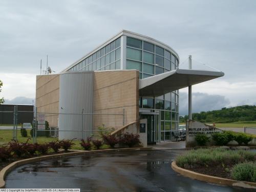
Butler County Regional Airport
Hogan Field |
| IATA: HAO – ICAO: KHAO – FAA LID: HAO |
| Summary |
| Airport type |
Public |
| Owner |
Butler County Board of Commissioners |
| Serves |
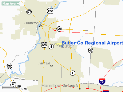
Hamilton, Ohio |
| Location |
Hamilton, Ohio |
| Elevation AMSL |
633 ft / m |
| Coordinates |
39°21′49.5″N 084°31′19″W / 39.36375°N 84.52194°W / 39.36375; -84.52194 |
| Website |
Butler County Regional Airport |
| Runways |
| Direction |
Length |
Surface |
| ft |
m |
| 11/29 |
5500 |
|
Asphalt |
| Statistics (2007) |
| Aircraft operations |
61,687 |
| Based aircraft |
172 |
| Source: Federal Aviation Administration |
For the similarly-named airport in Pennsylvania, see Butler County Airport.
Butler County Regional Airport (IATA: HAO, ICAO: KHAO, FAA LID: HAO), also known as Hogan Field, is a public airport located in Hamilton, Ohio, United States. The airport is located at 2820 Airport Road East in Hamilton. It is owned by the Butler County Board of Commissioners.
Facilities
Butler County Regional Airport covers an area of 650 acres (2.6 km) and contains one asphalt paved runway designated 11/29. The runway measures 5,500 by 100 feet (1,700 × 30 m). For the twelve-month period ending in June 2007, the airport had 61,687 aircraft operations, an average of 169 per day: 79.6% were general aviation, 20.4% were air taxi, and 0% were military. There are 172 aircraft based at this airport; 138 are single-engine, 25 are multi-engine, 6 are jets, and 3 are helicopters.
The above content comes from Wikipedia and is published under free licenses – click here to read more.
 |
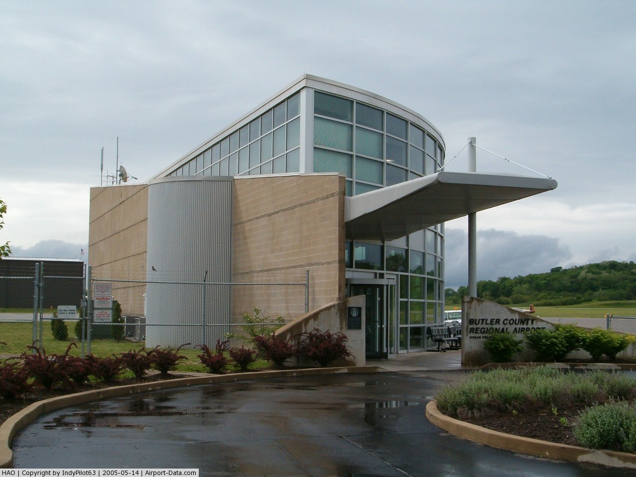
(Click on the photo to enlarge) |
 |
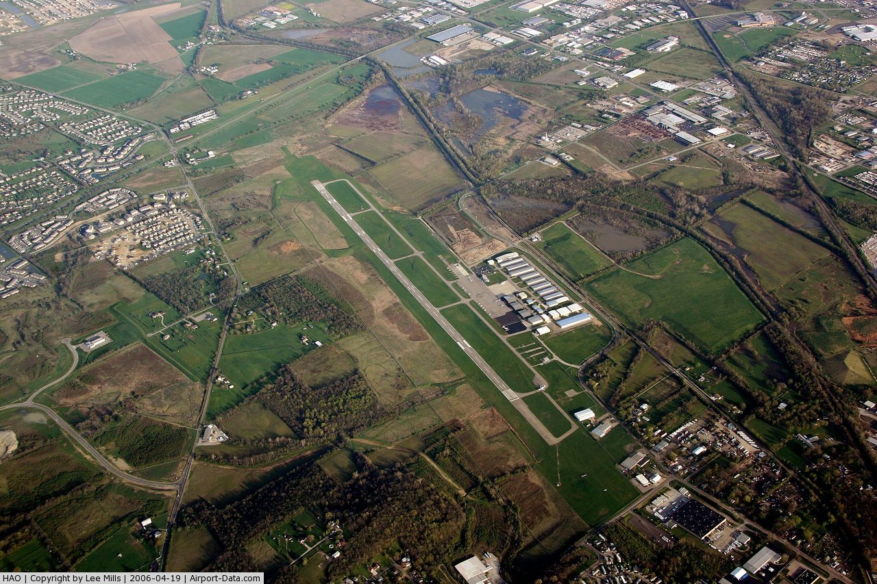
(Click on the photo to enlarge) |
 |
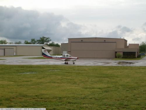
(Click on the photo to enlarge) |
Location & QuickFacts
| FAA Information Effective: | 2008-09-25 |
| Airport Identifier: | HAO |
| Airport Status: | Operational |
| Longitude/Latitude: | 084-31-19.0000W/39-21-49.5000N
-84.521944/39.363750 (Estimated) |
| Elevation: | 633 ft / 192.94 m (Surveyed) |
| Land: | 650 acres |
| From nearest city: | 3 nautical miles SE of Hamilton, OH |
| Location: | Butler County, OH |
| Magnetic Variation: | 05W (2000) |
Owner & Manager
| Ownership: | Publicly owned |
| Owner: | Butler County Bd Of Commissioners |
| Address: | 2820 Airport Road East
Hamilton, OH 45015 |
| Phone number: | 513-887-3247 |
| Manager: | Ronald W. Davis |
| Address: | 2820 Airport Road East
Hamilton, OH 45015 |
| Phone number: | 513-887-0444
MGR CELL PHONE 513-260-1762 |
Airport Operations and Facilities
| Airport Use: | Open to public |
| Wind indicator: | Yes
LGTD WINDSOCK OTS INDEFLY. |
| Segmented Circle: | No |
| Control Tower: | No |
| Lighting Schedule: | DUSK-DAWN
ACTVT MIRL RY 11/29; REIL 11 & 29 & MALSR RY 29 - CTAF. |
| Beacon Color: | Clear-Green (lighted land airport) |
| Landing fee charge: | No |
| Sectional chart: | Cincinnati |
| Region: | AGL - Great Lakes |
| Boundary ARTCC: | ZID - Indianapolis |
| Tie-in FSS: | DAY - Dayton |
| FSS on Airport: | No |
| FSS Toll Free: | 1-800-WX-BRIEF |
| NOTAMs Facility: | HAO (NOTAM-d service avaliable) |
| Federal Agreements: | NGY |
Airport Communications
| CTAF: | 123.050 |
| Unicom: | 123.050 |
Airport Services
| Fuel available: | 100LLA |
| Airframe Repair: | MAJOR |
| Power Plant Repair: | MAJOR |
| Bottled Oxygen: | LOW |
| Bulk Oxygen: | NONE |
Runway Information
Runway 11/29
| Dimension: | 5500 x 100 ft / 1676.4 x 30.5 m
750 FT STWY WEST END. |
| Surface: | ASPH, Good Condition |
| Weight Limit: | Single wheel: 60000 lbs.
Dual wheel: 75000 lbs.
Dual tandem wheel: 39000 lbs. |
| Edge Lights: | Medium |
| |
Runway 11 |
Runway 29 |
| Longitude: | 084-31-51.8192W | 084-30-46.1758W |
| Latitude: | 39-21-58.9958N | 39-21-40.0730N |
| Elevation: | 632.00 ft | 619.00 ft |
| Alignment: | 110 | 127 |
| ILS Type: | | ILS/DME
|
| Traffic Pattern: | Left | Left |
| Markings: | Non-precision instrument, Good Condition | Non-precision instrument, Good Condition |
| Crossing Height: | 26.00 ft | 25.00 ft |
| VASI: | 4-light PAPI on left side | 4-light PAPI on left side |
| Visual Glide Angle: | 3.50° | 3.00° |
| Approach lights: | | MALSR |
| Runway End Identifier: | Yes | Yes |
| Centerline Lights: | No | No |
| Touchdown Lights: | No | No |
| Obstruction: | 24 ft bldg, 481.0 ft from runway, 370 ft right of centerline, 12:1 slope to clear | 92 ft pline, 3183.0 ft from runway, 361 ft right of centerline, 32:1 slope to clear |
|
Radio Navigation Aids
| ID |
Type |
Name |
Ch |
Freq |
Var |
Dist |
| HAO | NDB | Hamilton | | 260.00 | 04W | 2.4 nm |
| HKF | NDB | Hook Field | | 239.00 | 04W | 8.8 nm |
| ISZ | NDB | Cincinnati-blue Ash | | 388.00 | 04W | 9.3 nm |
| MDE | NDB | Madeira | | 379.00 | 04W | 11.5 nm |
| OXD | NDB | Oxford | | 282.00 | 04W | 14.8 nm |
| LUK | NDB | Cincinnati | | 335.00 | 04W | 14.9 nm |
| PWF | NDB | Sportys | | 245.00 | 04W | 22.4 nm |
| UR | NDB | Burln | | 321.00 | 04W | 22.4 nm |
| HW | NDB | Cubla | | 299.00 | 04W | 30.0 nm |
| HLB | NDB | Batesville | | 254.00 | 02W | 34.2 nm |
| XEN | NDB | Xenia | | 395.00 | 03W | 34.6 nm |
| IL | NDB | Airbo | | 407.00 | 04W | 37.3 nm |
| CCJ | NDB | Clark County | | 341.00 | 04W | 46.1 nm |
| HOC | NDB | Hillsboro | | 278.00 | 05W | 46.8 nm |
| UWL | NDB | New Castle | | 385.00 | 02W | 48.2 nm |
| FFO | TACAN | Patterson | 099X | | 04W | 34.9 nm |
| XSF | TACAN | Springfield | 065X | | 04W | 42.5 nm |
| MXQ | VOR/DME | Midwest | 076X | 112.90 | 04W | 33.7 nm |
| DQN | VOR/DME | Dayton | 092X | 114.50 | 01W | 39.7 nm |
| SGH | VOR/DME | Springfield | 079X | 113.20 | 04W | 42.3 nm |
| FLM | VOR/DME | Falmouth | 117X | 117.00 | 04W | 44.1 nm |
| CVG | VORTAC | Cincinnati | 120X | 117.30 | 04W | 22.5 nm |
| RID | VORTAC | Richmond | 043X | 110.60 | 03W | 27.7 nm |
| LUK | VOT | Cincinnati Muni/lunken | | 108.40 | | 15.9 nm |
| DAY | VOT | Dayton J M Cox-day | | 111.00 | | 35.2 nm |
Images and information placed above are from
http://www.airport-data.com/airport/HAO/
We thank them for the data!
| General Info
|
| Country |
United States
|
| State |
OHIO
|
| FAA ID |
HAO
|
| Latitude |
39-21-52.159N
|
| Longitude |
084-31-28.478W
|
| Elevation |
633 feet
|
| Near City |
HAMILTON
|
We don't guarantee the information is fresh and accurate. The data may
be wrong or outdated.
For more up-to-date information please refer to other sources.
|
|