 |
|
Location & QuickFacts
| FAA Information Effective: | 2008-09-25 |
| Airport Identifier: | 9OA6 |
| Airport Status: | Operational |
| Longitude/Latitude: | 082-02-00.0140W/39-31-49.2530N
-82.033337/39.530348 (Estimated) |
| Elevation: | 820 ft / 249.94 m (Estimated) |
| Land: | 0 acres |
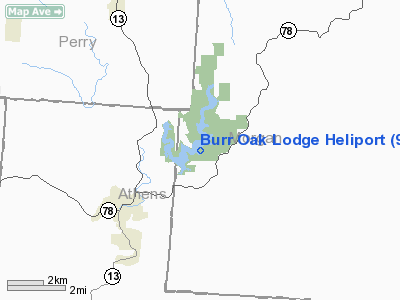
| From nearest city: | 3 nautical miles NE of Glouster, OH |
| Location: | Morgan County, OH |
| Magnetic Variation: | 06W (1985) |
Owner & Manager
| Ownership: | Publicly owned |
| Owner: | Dept Of Natural Resources |
| Address: | 2829 W Granville Rd
Worthington, OH 43235 |
| Phone number: | 614-466-4563 |
| Address: |
|
Airport Operations and Facilities
| Airport Use: | Private |
| Wind indicator: | Yes |
| Segmented Circle: | No |
| Control Tower: | No |
| Landing fee charge: | No |
| Sectional chart: | Cincinnati |
| Region: | AGL - Great Lakes |
| Boundary ARTCC: | ZID - Indianapolis |
| Tie-in FSS: | CLE - Cleveland |
| FSS on Airport: | No |
| FSS Toll Free: | 1-800-WX-BRIEF |
Runway Information
Helipad H1
| Dimension: | 75 x 75 ft / 22.9 x 22.9 m |
| Surface: | TURF, Good Condition |
| |
Runway H1 |
Runway |
| Traffic Pattern: | Left | Left |
|
Radio Navigation Aids
| ID |
Type |
Name |
Ch |
Freq |
Var |
Dist |
| PKB | FAN MARKER | Marietta Ohio | | | 03W | 30.0 nm |
| UGS | NDB | University | | 250.00 | 06W | 17.0 nm |
| HRA | NDB | Zanesville | | 204.00 | 06W | 23.2 nm |
| HEH | NDB | Newark | | 524.00 | 06W | 35.8 nm |
| GAS | NDB | Gallipolis | | 420.00 | 07W | 42.3 nm |
| CM | NDB | Sumie | | 391.00 | 05W | 43.1 nm |
| CYO | NDB | Circleville | | 366.00 | 05W | 43.9 nm |
| RZT | NDB | Ross County | | 236.00 | 05W | 46.5 nm |
| EOP | NDB | Waverly | | 385.00 | 06W | 47.1 nm |
| LCK | TACAN | Rickenbacker | 069X | | 05W | 44.7 nm |
| XUB | VOR | Yellow Bud | | 112.50 | 05W | 43.8 nm |
| ZZV | VOR/DME | Zanesville | 051X | 111.40 | 06W | 25.5 nm |
| CTW | VOR/DME | Newcomerstown | 055X | 111.80 | 07W | 49.2 nm |
| JPU | VORTAC | Parkersburg | 023X | 108.60 | 03W | 31.0 nm |
| APE | VORTAC | Appleton | 114X | 116.70 | 06W | 45.3 nm |
| HNN | VORTAC | Henderson | 106X | 115.90 | 03W | 46.7 nm |
| CMH | VOT | Port Columbus | | 111.00 | | 48.3 nm |
Remarks
-
- PROVIDED OPNS ARE CONDUCTED W/INGRESS-EGRESS RTES FM 280 DEG CW TO 130 DEG.
Images and information placed above are from
http://www.airport-data.com/airport/9OA6/
We thank them for the data!
| General Info
|
| Country |
United States
|
| State |
OHIO
|
| FAA ID |
9OA6
|
| Latitude |
39-31-49.253N
|
| Longitude |
082-02-00.014W
|
| Elevation |
820 feet
|
| Near City |
GLOUSTER
|
We don't guarantee the information is fresh and accurate. The data may
be wrong or outdated.
For more up-to-date information please refer to other sources.
|
|


