 |
|
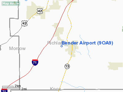
Location & QuickFacts
| FAA Information Effective: | 2008-09-25 |
| Airport Identifier: | 9OA9 |
| Airport Status: | Operational |
| Longitude/Latitude: | 082-32-01.6030W/40-37-17.2110N
-82.533779/40.621448 (Estimated) |
| Elevation: | 1140 ft / 347.47 m (Estimated) |
| Land: | 2 acres |
| From nearest city: | 1 nautical miles W of Bellville, OH |
| Location: | Richland County, OH |
| Magnetic Variation: | 06W (1985) |
Owner & Manager
| Ownership: | Privately owned |
| Owner: | James Bender |
| Address: | Route 2
Bellville, OH 44813 |
| Phone number: | 419-886-2017 |
| Manager: | James Bender |
| Address: | Route 2
Bellville, OH 44813 |
| Phone number: | 419-886-2017 |
Airport Operations and Facilities
| Airport Use: | Private |
| Wind indicator: | Yes |
| Segmented Circle: | No |
| Control Tower: | No |
| Landing fee charge: | No |
| Sectional chart: | Detroit |
| Region: | AGL - Great Lakes |
| Boundary ARTCC: | ZOB - Cleveland |
| Tie-in FSS: | CLE - Cleveland |
| FSS on Airport: | No |
| FSS Toll Free: | 1-800-WX-BRIEF |
Airport Services
| Airframe Repair: | NONE |
| Power Plant Repair: | NONE |
| Bottled Oxygen: | NONE |
| Bulk Oxygen: | NONE |
Runway Information
Runway 09/27
| Dimension: | 2000 x 45 ft / 609.6 x 13.7 m |
| Surface: | TURF, |
| |
Runway 09 |
Runway 27 |
| Traffic Pattern: | Left | Left |
| Displaced threshold: | 500.00 ft | 0.00 ft |
| Runway End Identifier: | No | No |
| Centerline Lights: | No | No |
| Touchdown Lights: | No | No |
|
Radio Navigation Aids
| ID |
Type |
Name |
Ch |
Freq |
Var |
Dist |
| MF | NDB | Manns | | 372.00 | 06W | 9.6 nm |
| AAU | NDB | Ashland | | 329.00 | 07W | 24.2 nm |
| MNN | NDB | Marion | | 201.00 | 05W | 24.5 nm |
| MLR | NDB | Millersburg/dcmsnd | | 382.00 | 06W | 30.6 nm |
| DLZ | NDB | Delaware | | 215.00 | 06W | 33.3 nm |
| HEH | NDB | Newark | | 524.00 | 06W | 35.9 nm |
| CM | NDB | Sumie | | 391.00 | 05W | 39.5 nm |
| DKG | NDB | Don Scott | | 348.00 | 05W | 41.0 nm |
| TII | NDB | Tiffin | | 269.00 | 05W | 41.9 nm |
| CHC | NDB | Grens | | 272.00 | 04W | 43.2 nm |
| MRT | NDB | Marysville | | 403.00 | 05W | 44.2 nm |
| OS | NDB | Fuler | | 515.00 | 05W | 44.8 nm |
| BUD | VOR | Buckeye | | 109.80 | 05W | 24.2 nm |
| TVT | VOR/DME | Tiverton | 112X | 116.50 | 03W | 21.0 nm |
| DJB | VOR/DME | Dryer | 083X | 113.60 | 05W | 47.4 nm |
| SKY | VOR/DME | Sandusky | 029X | 109.20 | 04W | 49.2 nm |
| MFD | VORTAC | Mansfield | 025X | 108.80 | 03W | 15.1 nm |
| APE | VORTAC | Appleton | 114X | 116.70 | 06W | 28.4 nm |
| CMH | VOT | Port Columbus | | 111.00 | | 41.0 nm |
Images and information placed above are from
http://www.airport-data.com/airport/9OA9/
We thank them for the data!
| General Info
|
| Country |
United States
|
| State |
OHIO
|
| FAA ID |
9OA9
|
| Latitude |
40-37-17.211N
|
| Longitude |
082-32-01.603W
|
| Elevation |
1140 feet
|
| Near City |
BELLVILLE
|
We don't guarantee the information is fresh and accurate. The data may
be wrong or outdated.
For more up-to-date information please refer to other sources.
|
|


