 |
|
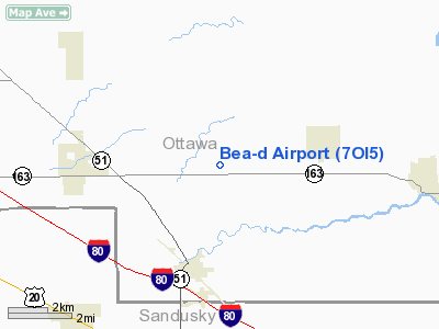
Location & QuickFacts
| FAA Information Effective: | 2008-09-25 |
| Airport Identifier: | 7OI5 |
| Airport Status: | Operational |
| Longitude/Latitude: | 083-16-30.7300W/41-31-14.1800N
-83.275203/41.520606 (Estimated) |
| Elevation: | 605 ft / 184.40 m (Estimated) |
| Land: | 6 acres |
| From nearest city: | 2 nautical miles SW of Graytown, OH |
| Location: | Ottawa County, OH |
| Magnetic Variation: | 05W (1985) |
Owner & Manager
| Ownership: | Privately owned |
| Owner: | Dale & Bernice Kline |
| Address: | 259 N Elliston-trow Rd
Graytown, OH 43432 |
| Phone number: | 419-862-3352 |
| Manager: | Dale & Bernice Kline |
| Address: | 259 N Elliston-trow Rd
Graytown, OH 43432 |
| Phone number: | 419-862-3352 |
Airport Operations and Facilities
| Airport Use: | Private |
| Wind indicator: | Yes |
| Segmented Circle: | No |
| Control Tower: | No |
| Sectional chart: | Detroit |
| Region: | AGL - Great Lakes |
| Boundary ARTCC: | ZOB - Cleveland |
| Tie-in FSS: | CLE - Cleveland |
| FSS Toll Free: | 1-800-WX-BRIEF |
Runway Information
Runway E/W
| Dimension: | 2650 x 75 ft / 807.7 x 22.9 m |
| Surface: | TURF, |
| |
Runway E |
Runway W |
| Traffic Pattern: | Left | Left |
| Displaced threshold: | 800.00 ft | 0.00 ft |
|
Radio Navigation Aids
| ID |
Type |
Name |
Ch |
Freq |
Var |
Dist |
| PCW | NDB | Port Clinton | | 423.00 | 06W | 18.3 nm |
| FZI | NDB | Fostoria | | 379.00 | 05W | 20.7 nm |
| TII | NDB | Tiffin | | 269.00 | 05W | 25.6 nm |
| PT | NDB | Pelee Island | | 283.00 | 05W | 31.3 nm |
| BNR | NDB | Benton Ridge | | 334.00 | 05W | 34.9 nm |
| RYS | NDB | Grosse Ile | | 419.00 | 06W | 35.3 nm |
| USE | NDB | Fulton | | 375.00 | 05W | 38.9 nm |
| TCU | NDB | Tecumseh | | 239.00 | 04W | 41.2 nm |
| ADG | NDB | Adrian | | 278.00 | 06W | 41.7 nm |
| PDR | NDB | Ottawa | | 233.00 | 05W | 43.2 nm |
| G | NDB | Golf | | 398.00 | 05W | 44.7 nm |
| TOL | TACAN | Toledo | 072X | | 05W | 24.0 nm |
| MAH | VOR | Marathon | | 114.90 | 05W | 35.1 nm |
| VWV | VOR/DME | Waterville | 078X | 113.10 | 02W | 16.9 nm |
| SKY | VOR/DME | Sandusky | 029X | 109.20 | 04W | 28.4 nm |
| DXO | VOR/DME | Detroit | 081X | 113.40 | 06W | 41.8 nm |
| YQG | VOR/DME | Windsor | 085X | 113.80 | 06W | 48.2 nm |
| CRL | VORTAC | Carleton | 104X | 115.70 | 03W | 32.7 nm |
| FDY | VORTAC | Findlay | 019X | 108.20 | 02W | 40.3 nm |
| MFD | VORTAC | Mansfield | 025X | 108.80 | 03W | 49.9 nm |
| DTW | VOT | Detroit Met Wayne | | 109.80 | | 42.7 nm |
| YIP | VOT | Willow Run | | 112.00 | | 44.3 nm |
Remarks
- VASI 800' FROM WIRES ON WEST END.
Images and information placed above are from
http://www.airport-data.com/airport/7OI5/
We thank them for the data!
| General Info
|
| Country |
United States
|
| State |
OHIO
|
| FAA ID |
7OI5
|
| Latitude |
41-31-14.180N
|
| Longitude |
083-16-30.730W
|
| Elevation |
605 feet
|
| Near City |
GRAYTOWN
|
We don't guarantee the information is fresh and accurate. The data may
be wrong or outdated.
For more up-to-date information please refer to other sources.
|
|


