|
|
 |
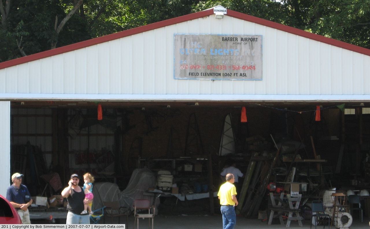
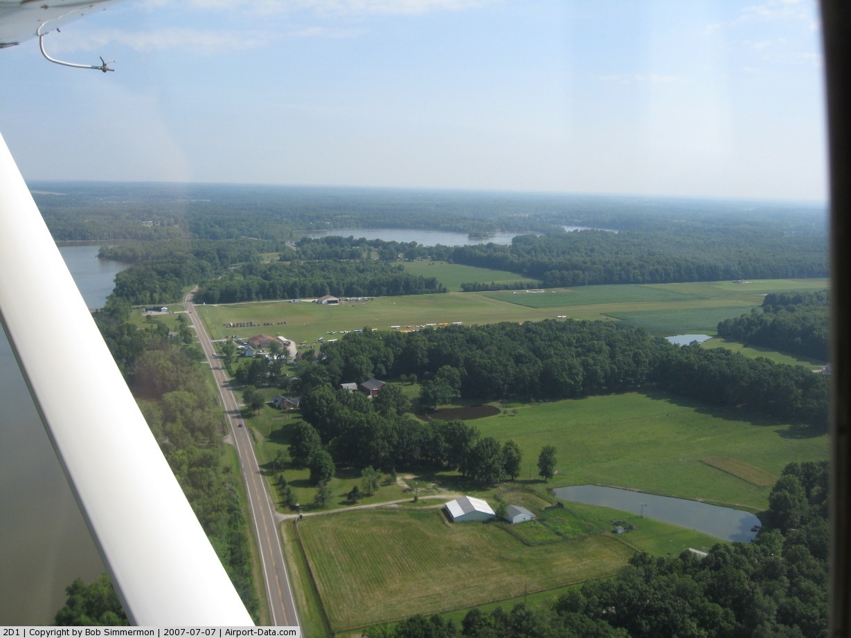
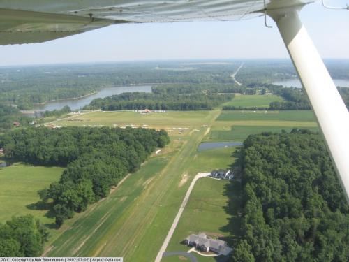
(Click on the photo to enlarge) |
 |
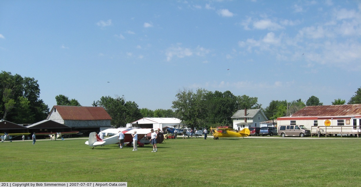
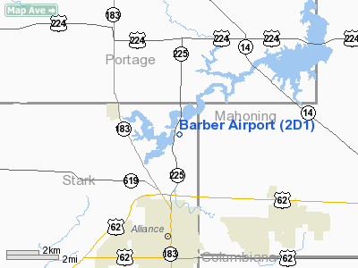
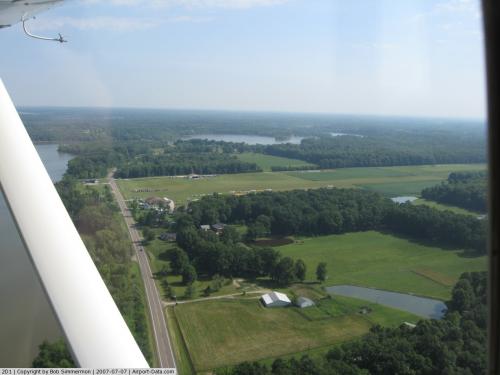
(Click on the photo to enlarge) |
 |
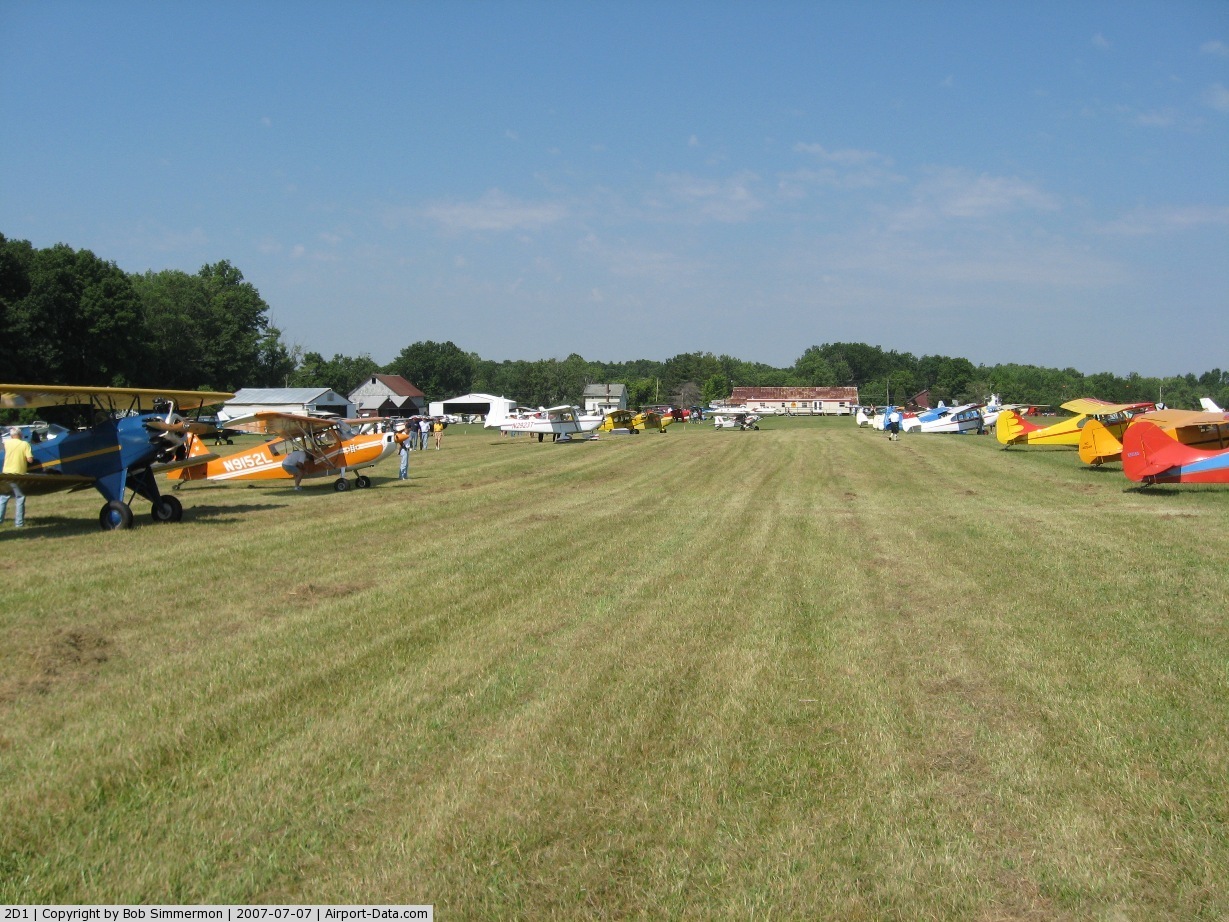
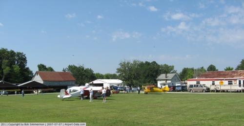
(Click on the photo to enlarge) |
 |
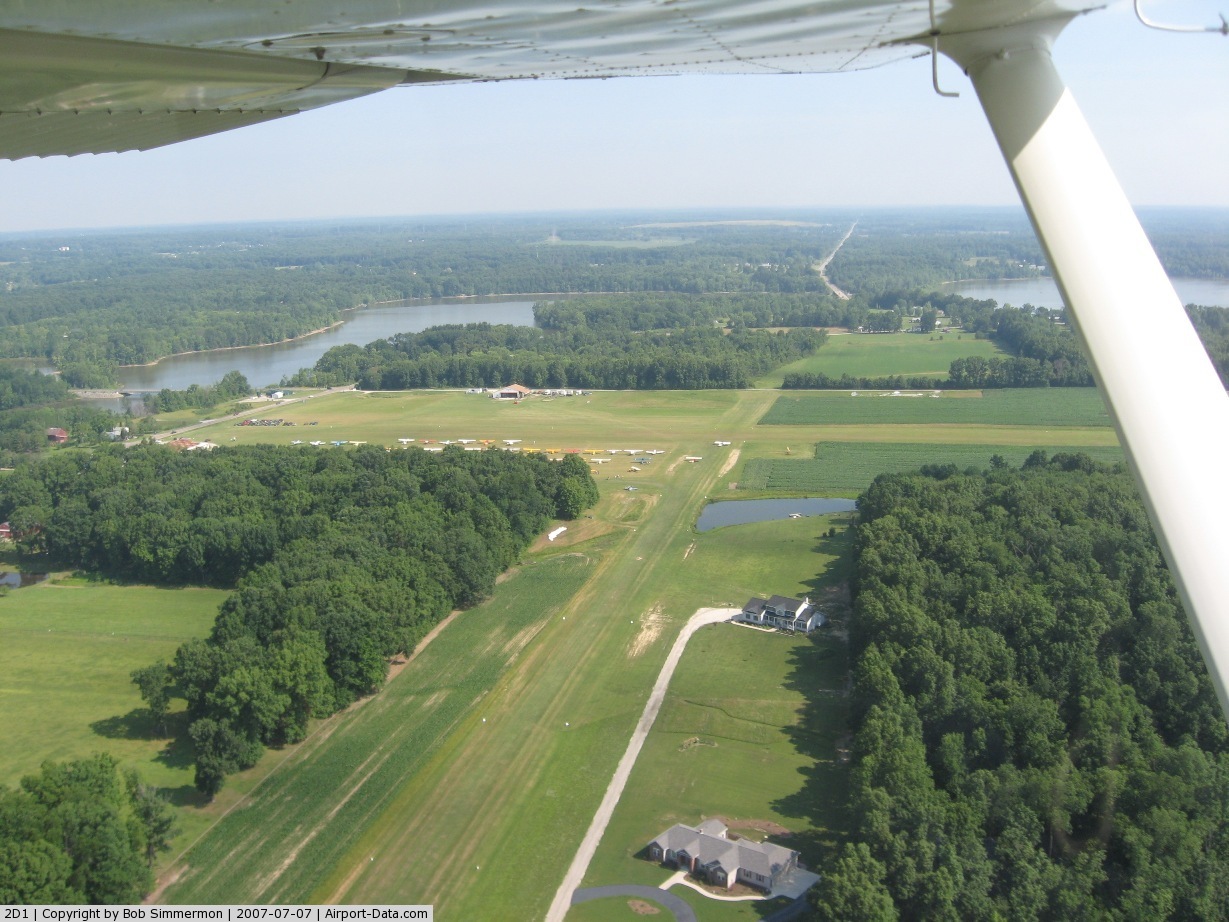
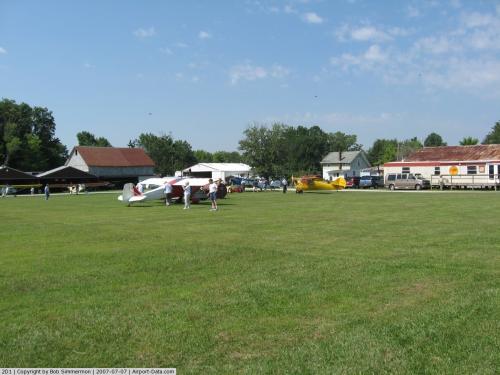
(Click on the photo to enlarge) |
 |
(Click on the photo to enlarge) |
 |
(Click on the photo to enlarge) |
Location & QuickFacts
| FAA Information Effective: | 2008-09-25 |
| Airport Identifier: | 2D1 |
| Airport Status: | Operational |
| Longitude/Latitude: | 081-05-59.3480W/40-58-15.2090N
-81.099819/40.970891 (Estimated) |
| Elevation: | 1062 ft / 323.70 m (Estimated) |
| Land: | 160 acres |
| From nearest city: | 3 nautical miles N of Alliance, OH |
| Location: | Stark County, OH |
| Magnetic Variation: | 07W (1985) |
Owner & Manager
| Ownership: | Privately owned |
| Owner: | Forrest A Barber |
| Address: | 13820 Union Ave Ne
Alliance, OH 44601 |
| Phone number: | 330-823-0652 |
| Manager: | Forrest A Barber |
| Address: | 13871 Union Ave Ne
Alliance, OH 44601 |
| Phone number: | 330-823-0652
AMGR FAX 330-823-1138. |
Airport Operations and Facilities
| Airport Use: | Open to public |
| Wind indicator: | Yes |
| Segmented Circle: | No |
| Control Tower: | No |
| Landing fee charge: | No |
| Sectional chart: | Detroit |
| Region: | AGL - Great Lakes |
| Boundary ARTCC: | ZOB - Cleveland |
| Tie-in FSS: | CLE - Cleveland |
| FSS on Airport: | No |
| FSS Toll Free: | 1-800-WX-BRIEF |
| NOTAMs Facility: | CLE (NOTAM-d service avaliable) |
| Federal Agreements: | N |
Airport Communications
Airport Services
| Fuel available: | 100LL |
| Airframe Repair: | MAJOR |
| Power Plant Repair: | MAJOR |
| Bottled Oxygen: | NONE |
| Bulk Oxygen: | NONE |
Runway Information
Runway 09/27
| Dimension: | 2088 x 130 ft / 636.4 x 39.6 m |
| Surface: | TURF, Good Condition |
| Edge Lights: | Non-standard lighting system
NSTD LGTS NOT FOR PUBLIC USE. |
| |
Runway 09 |
Runway 27 |
| Longitude: | 081-02-50.6400W | 081-02-23.4300W |
| Latitude: | 40-58-54.2600N | 40-58-54.1100N |
| Elevation: | 1056.00 ft | 1067.00 ft |
| Traffic Pattern: | Left | Left |
| Runway End Identifier: | No | No |
| Centerline Lights: | No | No |
| Touchdown Lights: | No | No |
| Obstruction: | 14 ft pline, 38.0 ft from runway, 60 ft left of centerline, 2:1 slope to clear | 51 ft trees, 0.0 ft from runway, 100 ft left of centerline |
|
Runway 18/36
| Dimension: | 3500 x 80 ft / 1066.8 x 24.4 m |
| Surface: | TURF, Good Condition |
| |
Runway 18 |
Runway 36 |
| Longitude: | 081-05-55.3500W | 081-05-55.0600W |
| Latitude: | 40-58-25.2100N | 40-57-50.6100N |
| Traffic Pattern: | Left | Left |
| Runway End Identifier: | No | No |
| Centerline Lights: | No | No |
| Touchdown Lights: | No | No |
| Obstruction: | 63 ft trees, 35.0 ft from runway, 130 ft right of centerline | 62 ft trees, 639.0 ft from runway, 188 ft right of centerline, 10:1 slope to clear |
|
Radio Navigation Aids
| ID |
Type |
Name |
Ch |
Freq |
Var |
Dist |
| AK | NDB | Akron | | 362.00 | 07W | 14.3 nm |
| TSO | NDB | Tolson | | 395.00 | 07W | 24.6 nm |
| HBD | NDB | Hubbard | | 408.00 | 08W | 28.0 nm |
| UCP | NDB | Castle | | 272.00 | 09W | 31.2 nm |
| EZE | NDB | Engel | | 226.00 | 07W | 42.0 nm |
| BKL | NDB | Burke Lakefront | | 416.00 | 07W | 42.1 nm |
| MLR | NDB | Millersburg/dcmsnd | | 382.00 | 06W | 43.6 nm |
| CFX | NDB | Cadiz | | 239.00 | 07W | 44.3 nm |
| LQL | NDB | Lakeland | | 263.00 | 08W | 44.6 nm |
| CL | NDB | Harri | | 344.00 | 07W | 44.9 nm |
| ACO | VOR/DME | Akron | 091X | 114.40 | 04W | 9.4 nm |
| BSV | VOR/DME | Briggs | 071X | 112.40 | 04W | 20.5 nm |
| CXR | VOR/DME | Chardon | 074X | 112.70 | 05W | 32.9 nm |
| LNN | VOR/DME | Lost Nation | 039X | 110.20 | 08W | 44.8 nm |
| CTW | VOR/DME | Newcomerstown | 055X | 111.80 | 07W | 47.8 nm |
| HLG | VOR/DME | Wheeling | 059X | 112.20 | 07W | 49.1 nm |
| YNG | VORTAC | Youngstown | 027X | 109.00 | 05W | 29.0 nm |
| EWC | VORTAC | Ellwood City | 105X | 115.80 | 08W | 41.3 nm |
| CAK | VOT | Akron/canton Regional | | 110.60 | | 15.9 nm |
| CLE | VOT | Cleveland | | 110.40 | | 43.0 nm |
Remarks
- CAUTION WHEN RWYS ARE WET.
- AEROBATIC PRACTICE AREA WI 1 NM SFC-5000'MSL, HRS IREG, CHECK NOTAMS.
- CTN: OCNL GND LEVEL AEROBATIC PRACTICE.
- USE CARE - MODEL ACFT IN AREA.
- PPR FOR NIGHT & WINTER OPNS CALL AMGR 330-823-0652 OR CELL PHONE.330-495-5447.
- PARACHUTE OPERATIONS WITHIN 5NM, SURFACE - 18000 FT MSL, CHECK CAK APPCH.
- IN OPERN PRIOR TO 1959.
Images and information placed above are from
http://www.airport-data.com/airport/2D1/
We thank them for the data!
| General Info
|
| Country |
United States
|
| State |
OHIO
|
| FAA ID |
2D1
|
| Latitude |
40-58-15.209N
|
| Longitude |
081-05-59.348W
|
| Elevation |
1062 feet
|
| Near City |
ALLIANCE
|
We don't guarantee the information is fresh and accurate. The data may
be wrong or outdated.
For more up-to-date information please refer to other sources.
|
|