|
|
Anderson Airfield Airport |
 |
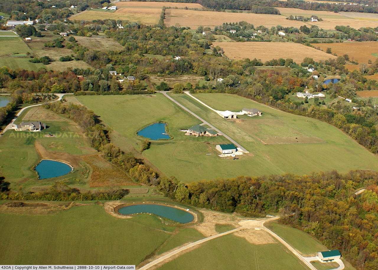
(Click on the photo to enlarge) |
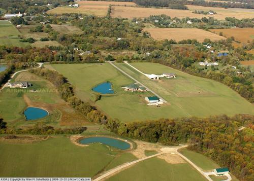 |
(Click on the photo to enlarge) |
Location & QuickFacts
| FAA Information Effective: | 2008-09-25 |
| Airport Identifier: | 43OA |
| Airport Status: | Operational |
| Longitude/Latitude: | 084-05-31.9000W/39-34-51.5000N
-84.092194/39.580972 (Estimated) |
| Elevation: | 940 ft / 286.51 m (Estimated) |
| Land: | 16 acres |
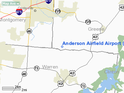
| From nearest city: | 4 nautical miles S of Bellbrook, OH |
| Location: | Greene County, OH |
| Magnetic Variation: | () |
Owner & Manager
| Ownership: | Privately owned |
| Owner: | Robert Anderson |
| Address: | 3880 Haines Rd
Waynesville, OH 45068 |
| Phone number: | 937-609-8937 |
| Manager: | Robert Anderson |
| Address: | 3880 Haines Rd
Waynesville, OH 45068 |
| Phone number: | 937-609-8937 |
Airport Operations and Facilities
| Airport Use: | Private |
| Wind indicator: | Yes |
| Control Tower: | No |
| Sectional chart: | Cincinnati |
| Region: | AGL - Great Lakes |
| Boundary ARTCC: | ZID - Indianapolis |
| Tie-in FSS: | DAY - Dayton |
| FSS Toll Free: | 1-800-WX-BRIEF |
Runway Information
Runway 09/27
| Dimension: | 1400 x 100 ft / 426.7 x 30.5 m |
| Surface: | TURF, |
| |
Runway 09 |
Runway 27 |
| Traffic Pattern: | Left | Left |
| Displaced threshold: | 400.00 ft | 400.00 ft |
| Obstruction: | 20 ft pline, 50.0 ft from runway | 20 ft trees, 0.0 ft from runway |
|
Radio Navigation Aids
| ID |
Type |
Name |
Ch |
Freq |
Var |
Dist |
| XEN | NDB | Xenia | | 395.00 | 03W | 11.0 nm |
| HW | NDB | Cubla | | 299.00 | 04W | 17.0 nm |
| HKF | NDB | Hook Field | | 239.00 | 04W | 17.2 nm |
| IL | NDB | Airbo | | 407.00 | 04W | 17.3 nm |
| CCJ | NDB | Clark County | | 341.00 | 04W | 22.8 nm |
| ISZ | NDB | Cincinnati-blue Ash | | 388.00 | 04W | 24.3 nm |
| MDE | NDB | Madeira | | 379.00 | 04W | 24.8 nm |
| HAO | NDB | Hamilton | | 260.00 | 04W | 25.5 nm |
| LUK | NDB | Cincinnati | | 335.00 | 04W | 27.8 nm |
| PWF | NDB | Sportys | | 245.00 | 04W | 30.8 nm |
| OXD | NDB | Oxford | | 282.00 | 04W | 32.2 nm |
| CSS | NDB | Court House | | 414.00 | 05W | 32.5 nm |
| HOC | NDB | Hillsboro | | 278.00 | 05W | 34.9 nm |
| UYF | NDB | London | | 263.00 | 06W | 35.9 nm |
| VES | NDB | Versailles | | 356.00 | 04W | 42.5 nm |
| BU | NDB | Boutn | | 230.00 | 05W | 43.5 nm |
| UR | NDB | Burln | | 321.00 | 04W | 45.1 nm |
| EDJ | NDB | Bellefontaine | | 242.00 | 05W | 49.2 nm |
| FFO | TACAN | Patterson | 099X | | 04W | 14.4 nm |
| XSF | TACAN | Springfield | 065X | | 04W | 19.3 nm |
| MXQ | VOR/DME | Midwest | 076X | 112.90 | 04W | 16.3 nm |
| SGH | VOR/DME | Springfield | 079X | 113.20 | 04W | 19.1 nm |
| DQN | VOR/DME | Dayton | 092X | 114.50 | 01W | 29.7 nm |
| RID | VORTAC | Richmond | 043X | 110.60 | 03W | 36.1 nm |
| ROD | VORTAC | Rosewood | 122X | 117.50 | 05W | 42.5 nm |
| CVG | VORTAC | Cincinnati | 120X | 117.30 | 04W | 44.3 nm |
| DAY | VOT | Dayton J M Cox-day | | 111.00 | | 20.2 nm |
| LUK | VOT | Cincinnati Muni/lunken | | 108.40 | | 31.4 nm |
Remarks
- FOR STOL ACFT ONLY.
- PRVDD CLEAR 20:1 APCHS; AREA IS MARKED AND CLEAR OBSTACLE FREE ZONE.
Images and information placed above are from
http://www.airport-data.com/airport/43OA/
We thank them for the data!
|
|