|
|
Akron Fulton Intl Airport |
| Akron Fulton International Airport |
 |
| IATA: AKC – ICAO: KAKR – FAA LID: AKR |
| Summary |
| Airport type |
Public |
| Owner |
City of Akron |
| Serves |
Akron, Ohio |
| Elevation AMSL |
1,067 ft / 325 m |
| Coordinates |
41°02′15″N 081°28′01″W / 41.0375°N 81.46694°W / 41.0375; -81.46694Coordinates: 41°02′15″N 081°28′01″W / 41.0375°N 81.46694°W / 41.0375; -81.46694 |
| Website |
www.ci.akron.oh.us/Airport/ |
| Runways |
| Direction |
Length |
Surface |
| ft |
m |
| 7/25 |
6,337 |
1,932 |
Asphalt |
| 1/19 |
2,336 |
712 |
Asphalt |
| Statistics (2007) |
| Aircraft operations |
26,000 |
| Source: Federal Aviation Administration |
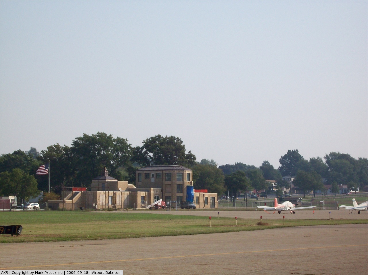
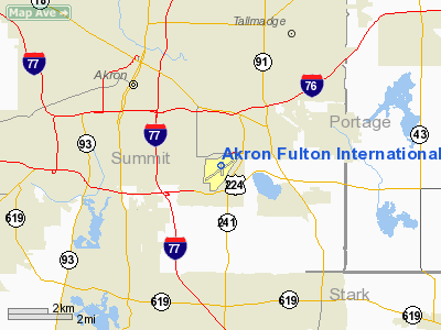
Akron Fulton International Airport (IATA: AKC, ICAO: KAKR, FAA LID: AKR) is a general aviation airport located in the city of Akron in Summit County, Ohio, United States. It is owned by the city of Akron.
Named for longtime manager Bain Ecarius "Shorty" Fulton and his son Bain J. "Bud" Fulton, it first opened in 1929 and has operated in several different capacities since then. Although the airport has only served general aviation for many years, it does technically have United States Customs facilities, and is therefore considered an international airport. The airport did have commercial scheduled airline service until the 1950s. It is now used for both cargo and private planes.
 | |
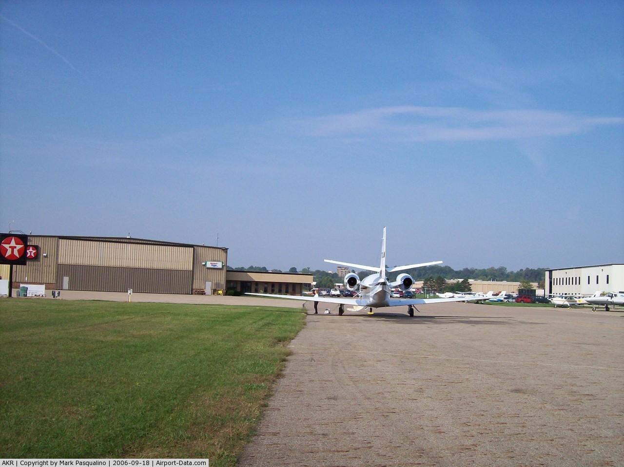
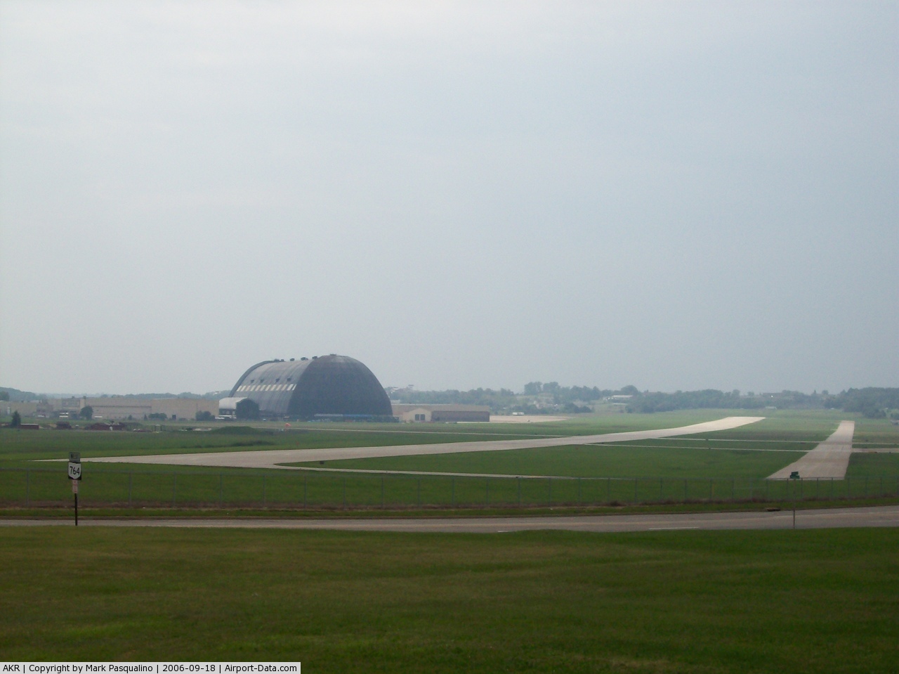
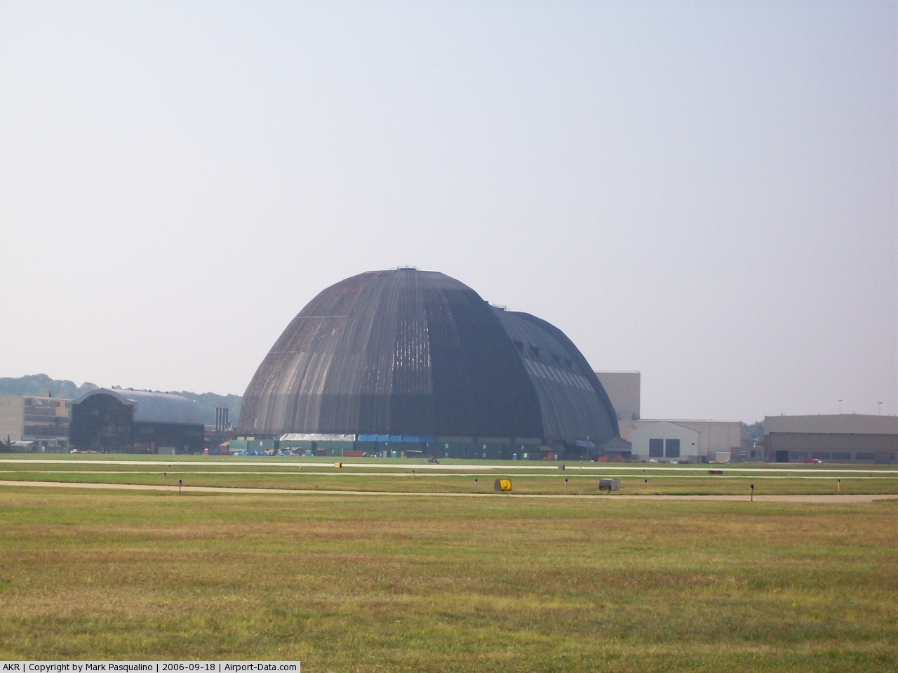
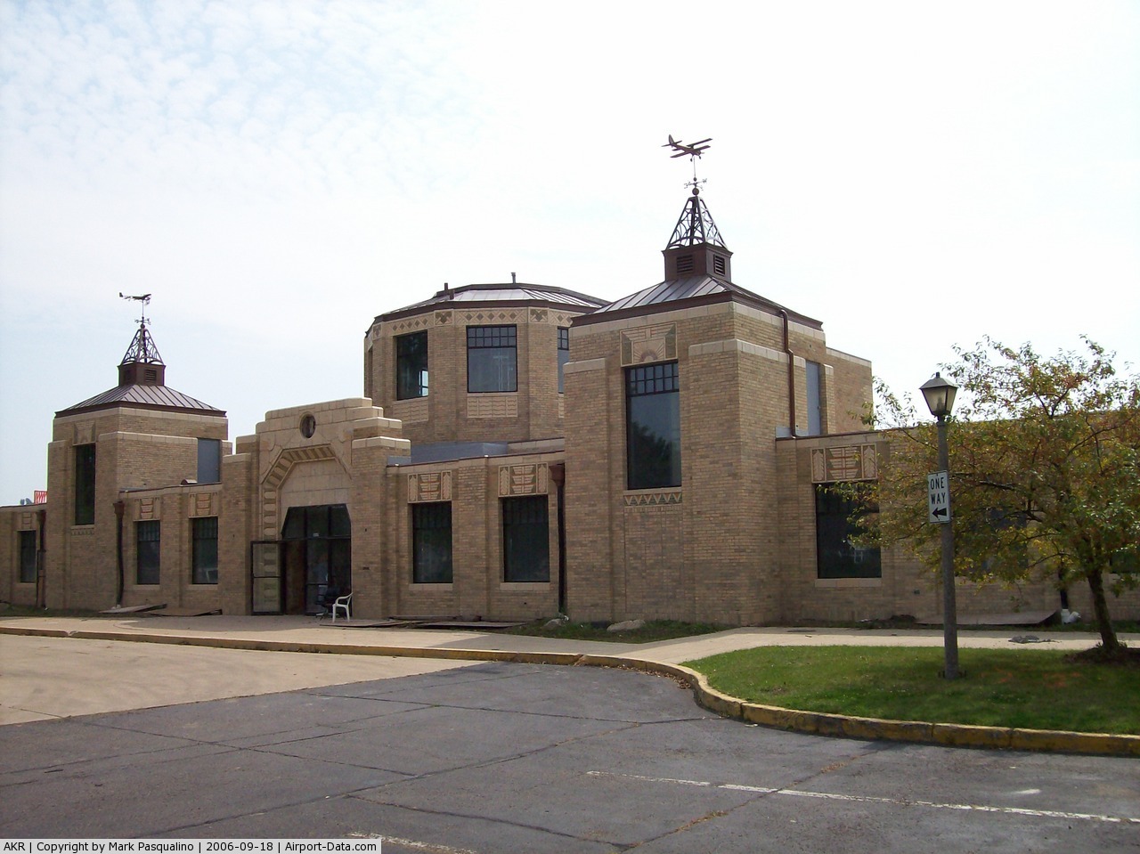
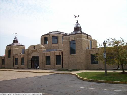
The Akron Fulton International Airport |
Although most U.S. airports use the same three-letter location identifier for the FAA and IATA, Akron Fulton is assigned AKR by the FAA and AKC by the IATA (which assigned AKR to Akure, Nigeria).
In 1985, the Akron Fulton Airport was recognized as the 3rd National Landmark of Soaring by the National Soaring Museum.
Facilities and aircraft
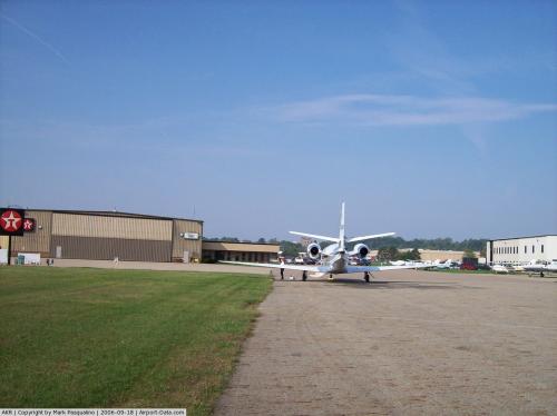
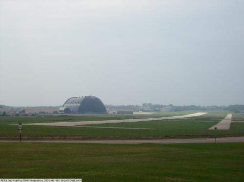
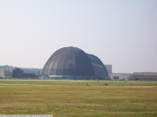
Akron Fulton International Airport covers an area of 1,171 acres (474 ha) which contains two asphalt paved runways: 7/25 measuring 6,337 x 150 ft (1,932 x 46 m) and 1/19 measuring 2,336 x 100 ft (712 x 30 m). For the 12-month period ending May 22, 2007, the airport had 26,000 aircraft operations, an average of 71 per day: 98% general aviation, 1% air taxi and <1% military. The airport is supported by the local FBO (fixed base operator) Akron Flight which fuels and hangers aircraft. Akron Flight opened it doors in 2000. North Coast Air Care is based at the Akron Flight facility since May of 2000. It maintains the general aviation community in performing inspections, maintenance and repairs to all aircraft from small Cessnas to corporate jets. Steiner International also opened it doors at the facility the same time that North Coast Air Care moved in. They perform avionics repairs, upgrades and installations.
The above content comes from Wikipedia and is published under free licenses – click here to read more.
 |
(Click on the photo to enlarge) |
 |
(Click on the photo to enlarge) |
 |
(Click on the photo to enlarge) |
 |
(Click on the photo to enlarge) |
 |
(Click on the photo to enlarge) |
Location & QuickFacts
| FAA Information Effective: | 2008-09-25 |
| Airport Identifier: | AKR |
| Airport Status: | Operational |
| Longitude/Latitude: | 081-28-00.9000W/41-02-15.0000N
-81.466917/41.037500 (Estimated) |
| Elevation: | 1067 ft / 325.22 m (Surveyed) |
| Land: | 1171 acres |
| From nearest city: | 0 nautical miles S of Akron, OH |
| Location: | Summit County, OH |
| Magnetic Variation: | 07W (1990) |
Owner & Manager
| Ownership: | Publicly owned |
| Owner: | City Of Akron |
| Address: | 166 South High Street
Akron, OH 44308 |
| Phone number: | 330-733-3950 |
| Manager: | James Malyj |
| Address: | 1436 Triplett Blvd
Akron, OH 44306 |
| Phone number: | 330-733-3950 |
Airport Operations and Facilities
| Airport Use: | Open to public |
| Wind indicator: | Yes |
| Segmented Circle: | Yes |
| Control Tower: | No |
| Lighting Schedule: | DUSK-DAWN
ACTVT MIRL RY 01/19 & HIRL RY 07/25 & REIL RYS 07 & 25 - CTAF. |
| Beacon Color: | Clear-Green (lighted land airport) |
| Landing fee charge: | No |
| Sectional chart: | Detroit |
| Region: | AGL - Great Lakes |
| Boundary ARTCC: | ZOB - Cleveland |
| Tie-in FSS: | CLE - Cleveland |
| FSS on Airport: | No |
| FSS Toll Free: | 1-800-WX-BRIEF |
| NOTAMs Facility: | AKR (NOTAM-d service avaliable) |
| Federal Agreements: | NGRY |
Airport Communications
| CTAF: | 123.075 |
| Unicom: | 123.075 |
Airport Services
Runway Information
Runway 01/19
| Dimension: | 2336 x 100 ft / 712.0 x 30.5 m |
| Surface: | ASPH, Good Condition |
| Weight Limit: | Single wheel: 30000 lbs. |
| Edge Lights: | Medium |
| |
Runway 01 |
Runway 19 |
| Longitude: | 081-27-53.7464W | 081-27-53.2756W |
| Latitude: | 41-02-04.3516N | 41-02-27.4305N |
| Elevation: | 1044.00 ft | 1043.00 ft |
| Alignment: | 1 | 127 |
| Traffic Pattern: | Left | Left |
| Markings: | Basic, Good Condition | Basic, Good Condition |
| Displaced threshold: | 0.00 ft | 190.00 ft |
| Runway End Identifier: | No | No |
| Centerline Lights: | No | No |
| Touchdown Lights: | No | No |
| Obstruction: | 39 ft brush, 948.0 ft from runway, 19:1 slope to clear | 63 ft , 1297.0 ft from runway, 130 ft right of centerline, 17:1 slope to clear
RWY 19 APCH RATIO 20:1 TO DSPLCD THLD, DUE TO +63 FT TREES 1487 FT FM THLD 130 FT R. |
|
Runway 07/25
| Dimension: | 6337 x 150 ft / 1931.5 x 45.7 m |
| Surface: | ASPH, Good Condition |
| Weight Limit: | Single wheel: 75000 lbs.
Dual wheel: 100000 lbs.
Dual tandem wheel: 160000 lbs. |
| Edge Lights: | High |
| |
Runway 07 |
Runway 25 |
| Longitude: | 081-28-40.1487W | 081-27-27.1689W |
| Latitude: | 41-02-00.0051N | 41-02-29.4318N |
| Elevation: | 1067.00 ft | 1061.00 ft |
| Alignment: | 62 | 127 |
| ILS Type: | | LOC/DME
|
| Traffic Pattern: | Left | Left |
| Markings: | Non-precision instrument, Good Condition | Non-precision instrument, Good Condition |
| Crossing Height: | 53.00 ft | 0.00 ft |
| Displaced threshold: | 760.00 ft | 262.00 ft |
| VASI: | 4-light PAPI on left side
PAPI OTS INDEFLY. | |
| Visual Glide Angle: | 3.30° | 0.00° |
| Runway End Identifier: | Yes
OTS INDEFLY. | Yes |
| Centerline Lights: | No | No |
| Touchdown Lights: | No | No |
| Obstruction: | 23 ft rr, 201.0 ft from runway, 140 ft right of centerline
RWY 07 APCH RATIO 20:1 TO DSPLCD THLD DUE TO +112 FT TREE 2447 FT FM THLD 212 FT L.
HAS RR 0 FT FM RY END 150 FT L TO 200 FT FM RY END 139 FT R. | 117 ft trees, 1900.0 ft from runway, 275 ft left of centerline, 14:1 slope to clear
RWY 25 APCH RATIO 16:1 TO DSPLCD THLD DUE TO +117 FT TREES 2162 FT FM THLD 275 FT L. |
|
Radio Navigation Aids
| ID |
Type |
Name |
Ch |
Freq |
Var |
Dist |
| AK | NDB | Akron | | 362.00 | 07W | 4.1 nm |
| CL | NDB | Harri | | 344.00 | 07W | 28.9 nm |
| EZE | NDB | Engel | | 226.00 | 07W | 29.5 nm |
| BKL | NDB | Burke Lakefront | | 416.00 | 07W | 30.8 nm |
| TSO | NDB | Tolson | | 395.00 | 07W | 33.6 nm |
| MLR | NDB | Millersburg/dcmsnd | | 382.00 | 06W | 35.1 nm |
| AAU | NDB | Ashland | | 329.00 | 07W | 36.0 nm |
| LQL | NDB | Lakeland | | 263.00 | 08W | 39.0 nm |
| HBD | NDB | Hubbard | | 408.00 | 08W | 42.9 nm |
| MF | NDB | Manns | | 372.00 | 06W | 47.3 nm |
| UCP | NDB | Castle | | 272.00 | 09W | 47.7 nm |
| ACO | VOR/DME | Akron | 091X | 114.40 | 04W | 12.7 nm |
| BSV | VOR/DME | Briggs | 071X | 112.40 | 04W | 17.9 nm |
| CXR | VOR/DME | Chardon | 074X | 112.70 | 05W | 31.9 nm |
| DJB | VOR/DME | Dryer | 083X | 113.60 | 05W | 36.9 nm |
| LNN | VOR/DME | Lost Nation | 039X | 110.20 | 08W | 39.0 nm |
| TVT | VOR/DME | Tiverton | 112X | 116.50 | 03W | 46.0 nm |
| CTW | VOR/DME | Newcomerstown | 055X | 111.80 | 07W | 48.6 nm |
| YNG | VORTAC | Youngstown | 027X | 109.00 | 05W | 39.9 nm |
| CAK | VOT | Akron/canton Regional | | 110.60 | | 7.4 nm |
| CLE | VOT | Cleveland | | 110.40 | | 28.3 nm |
Remarks
- DEER ON AND INVOF RYS AND TWYS.
Images and information placed above are from
http://www.airport-data.com/airport/AKR/
We thank them for the data!
| General Info
|
| Country |
United States
|
| State |
OHIO
|
| FAA ID |
AKR
|
| Latitude |
41-02-15.000N
|
| Longitude |
081-28-00.982W
|
| Elevation |
1067 feet
|
| Near City |
AKRON
|
We don't guarantee the information is fresh and accurate. The data may
be wrong or outdated.
For more up-to-date information please refer to other sources.
|
|