 |
|
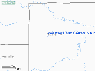
Welstad Farms Airstrip Airport |
Location & QuickFacts
| FAA Information Effective: | 2008-09-25 |
| Airport Identifier: | NA73 |
| Airport Status: | Operational |
| Longitude/Latitude: | 101-00-01.5500W/48-33-50.0710N
-101.000431/48.563909 (Estimated) |
| Elevation: | 1480 ft / 451.10 m (Estimated) |
| Land: | 0 acres |
| From nearest city: | 10 nautical miles W of Upham, ND |
| Location: | Mc Henry County, ND |
| Magnetic Variation: | 10E (1985) |
Owner & Manager
| Ownership: | Privately owned |
| Owner: | Blaine Welstad |
| Address: | 7933 19th Ave North
Newburg, ND 58762 |
| Phone number: | 701-272-6121 |
| Manager: | Blaine Welstad |
| Address: | 7933 19th Ave North
Newburg, ND 58762 |
| Phone number: | 701-272-6121 |
Airport Operations and Facilities
| Airport Use: | Private |
| Wind indicator: | Yes |
| Segmented Circle: | No |
| Control Tower: | No |
| Sectional chart: | Twin Cities |
| Region: | AGL - Great Lakes |
| Boundary ARTCC: | ZMP - Minneapolis |
| Tie-in FSS: | GFK - Grand Forks |
| FSS on Airport: | No |
| FSS Toll Free: | 1-800-WX-BRIEF |
Runway Information
Runway 08/26
| Dimension: | 2600 x 120 ft / 792.5 x 36.6 m |
| Surface: | TURF, |
| |
Runway 08 |
Runway 26 |
| Traffic Pattern: | Left | Left |
| Obstruction: | | 25 ft pline, 100.0 ft from runway |
|
Runway 13/31
| Dimension: | 2600 x 120 ft / 792.5 x 36.6 m |
| Surface: | TURF, |
| |
Runway 13 |
Runway 31 |
| Traffic Pattern: | Left | Left |
|
Radio Navigation Aids
| ID |
Type |
Name |
Ch |
Freq |
Var |
Dist |
| HBC | NDB | Mohall | | 350.00 | 11E | 24.4 nm |
| RUG | NDB | Rugby | | 212.00 | 08E | 40.2 nm |
| MIB | TACAN | Deering | 096X | | 10E | 17.1 nm |
| MOT | VORTAC | Minot | 118X | 117.10 | 13E | 21.5 nm |
Remarks
- FILED FOR RECORD PURPOSES ONLY.
Images and information placed above are from
http://www.airport-data.com/airport/NA73/
We thank them for the data!
|
|


